Jan 2026: Due to an ongoing data center cooling system construction project, NGFS data outages may occur with little or no notice.
Wildfire Alert Report
| Date: | 2025-03-11 |
|---|---|
| Time: | 17:03:23 |
| Production Date and Time: | 2025-03-11 17:04:44 UTC |
| Primary Instrument: | GOES-16 ABI |
| Wmo Spacecraft Id: | 152 |
| Location/orbit: | GEO |
| L1 File: | OR_ABI-L1b-RadM1-M6C14_G16_s20250701703232_e20250701703290_c20250701703351.nc |
| L1 File(s) - Temporal | OR_ABI-L1b-RadM1-M6C14_G16_s20250701702232_e20250701702290_c20250701702352.nc |
| Number Of Thermal Anomaly Alerts: | 4 |
Possible Wildfire
| Basic Information | |
|---|---|
| State/Province(s) | IA |
| Country/Countries | United States |
| County/Locality(s) | Bremer County, IA |
| NWS WFO | Des Moines IA |
| Identification Method | Enhanced Contextual (Cloud) |
| Mean Object Date/Time | 2025-03-11 17:03:26UTC |
| Radiative Center (Lat, Lon): | 42.753334°, -92.165001° |
| Nearby Counties (meeting alert criteria): |
|
| Total Radiative Power Anomaly | n/a |
| Total Radiative Power | 18.82 MW |
| Map: | |
| Additional Information | |
| Alert Status | New Feature |
| Type of Event | Nominal Risk |
| Event Priority Ranking | 4 |
| Maximum Observed BT (3.9 um) | 298.35 K |
| Observed - Background BT (3.9 um) | 6.01 K |
| BT Anomaly (3.9 um) | 10.48 K |
| Maximum Observed - Clear RTM BT (3.9 um) | 16.98 K |
| Maximum Observed BTD (3.9-10/11/12 um) | 24.38 K |
| Observed - Background BTD (3.9-10/11/12 um) | 5.34 K |
| BTD Anomaly (3.9-10/11/12 um) | 5.75 K |
| Similar Pixel Count | 0 |
| BT Time Tendency (3.9 um) | 3.80 K |
| Image Interval | 1.00 minutes |
| Fraction of Surrounding LWIR Pixels that are Colder | 0.88 |
| Fraction of Surrounding Red Channel Pixels that are Brighter | 1.00 |
| Maximum Radiative Power | 18.82 MW |
| Maximum Radiative Power Uncertainty | 0.00 MW |
| Total Radiative Power Uncertainty | 0.00 MW |
| Mean Viewing Angle | 52.50° |
| Mean Solar Zenith Angle | 50.00° |
| Mean Glint Angle | 102.40° |
| Water Fraction | 0.00 |
| Total Pixel Area | 6.60 km2 |
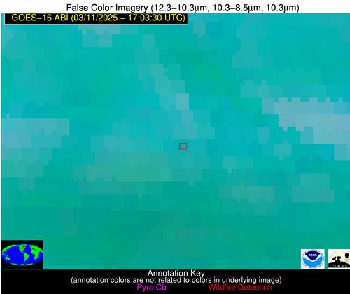
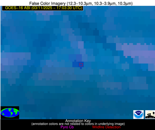
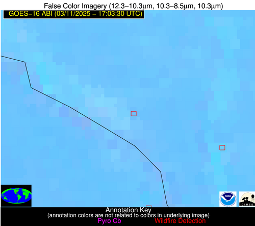
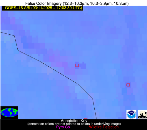
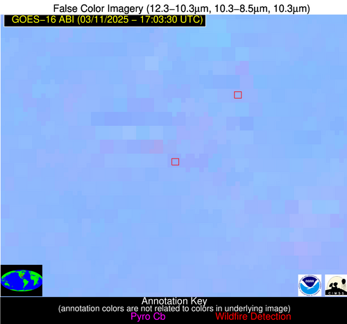
| Latest Satellite Imagery: | |
| View all event imagery » | |
Possible Wildfire
| Basic Information | |
|---|---|
| State/Province(s) | IL |
| Country/Countries | United States |
| County/Locality(s) | Pike County, IL |
| NWS WFO | St Louis MO |
| Identification Method | Enhanced Contextual (Clear) |
| Mean Object Date/Time | 2025-03-11 17:03:26UTC |
| Radiative Center (Lat, Lon): | 39.400002°, -90.802498° |
| Nearby Counties (meeting alert criteria): |
|
| Total Radiative Power Anomaly | n/a |
| Total Radiative Power | 17.89 MW |
| Map: | |
| Additional Information | |
| Alert Status | New Feature |
| Type of Event | Nominal Risk |
| Event Priority Ranking | 4 |
| Maximum Observed BT (3.9 um) | 310.60 K |
| Observed - Background BT (3.9 um) | 3.49 K |
| BT Anomaly (3.9 um) | 2.52 K |
| Maximum Observed - Clear RTM BT (3.9 um) | 18.33 K |
| Maximum Observed BTD (3.9-10/11/12 um) | 15.64 K |
| Observed - Background BTD (3.9-10/11/12 um) | 3.82 K |
| BTD Anomaly (3.9-10/11/12 um) | 3.96 K |
| Similar Pixel Count | 25 |
| BT Time Tendency (3.9 um) | 1.80 K |
| Image Interval | 1.00 minutes |
| Fraction of Surrounding LWIR Pixels that are Colder | 0.25 |
| Fraction of Surrounding Red Channel Pixels that are Brighter | 1.00 |
| Maximum Radiative Power | 17.89 MW |
| Maximum Radiative Power Uncertainty | 0.00 MW |
| Total Radiative Power Uncertainty | 0.00 MW |
| Mean Viewing Angle | 48.60° |
| Mean Solar Zenith Angle | 46.50° |
| Mean Glint Angle | 95.10° |
| Water Fraction | 0.00 |
| Total Pixel Area | 6.00 km2 |
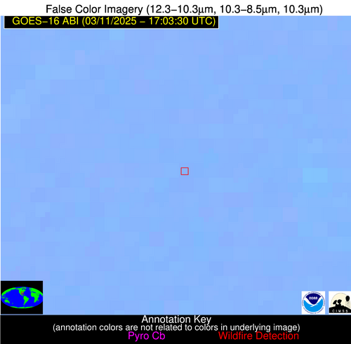
| Latest Satellite Imagery: | |
| View all event imagery » | |
Possible Wildfire
| Basic Information | |
|---|---|
| State/Province(s) | AR |
| Country/Countries | United States |
| County/Locality(s) | Pulaski County, AR |
| NWS WFO | Little Rock AR |
| Identification Method | Enhanced Contextual (Clear) |
| Mean Object Date/Time | 2025-03-11 17:03:28UTC |
| Radiative Center (Lat, Lon): | 34.841946°, -92.509163° |
| Nearby Counties (meeting alert criteria): |
|
| Total Radiative Power Anomaly | n/a |
| Total Radiative Power | 33.68 MW |
| Map: | |
| Additional Information | |
| Alert Status | New Feature |
| Type of Event | Nominal Risk |
| Event Priority Ranking | 4 |
| Maximum Observed BT (3.9 um) | 308.86 K |
| Observed - Background BT (3.9 um) | 3.75 K |
| BT Anomaly (3.9 um) | 2.57 K |
| Maximum Observed - Clear RTM BT (3.9 um) | 18.42 K |
| Maximum Observed BTD (3.9-10/11/12 um) | 13.45 K |
| Observed - Background BTD (3.9-10/11/12 um) | 5.54 K |
| BTD Anomaly (3.9-10/11/12 um) | 6.10 K |
| Similar Pixel Count | 4 |
| BT Time Tendency (3.9 um) | 1.60 K |
| Image Interval | 1.00 minutes |
| Fraction of Surrounding LWIR Pixels that are Colder | 0.12 |
| Fraction of Surrounding Red Channel Pixels that are Brighter | 1.00 |
| Maximum Radiative Power | 19.28 MW |
| Maximum Radiative Power Uncertainty | 0.00 MW |
| Total Radiative Power Uncertainty | 0.00 MW |
| Mean Viewing Angle | 44.70° |
| Mean Solar Zenith Angle | 43.00° |
| Mean Glint Angle | 87.70° |
| Water Fraction | 0.00 |
| Total Pixel Area | 11.20 km2 |
| Latest Satellite Imagery: | |
| View all event imagery » | |
Possible Wildfire
| Basic Information | |
|---|---|
| State/Province(s) | MS |
| Country/Countries | United States |
| County/Locality(s) | Amite County, MS |
| NWS WFO | New Orleans LA |
| Identification Method | Enhanced Contextual (Clear) |
| Mean Object Date/Time | 2025-03-11 17:03:29UTC |
| Radiative Center (Lat, Lon): | 31.252777°, -90.681946° |
| Nearby Counties (meeting alert criteria): |
|
| Total Radiative Power Anomaly | n/a |
| Total Radiative Power | 10.07 MW |
| Map: | |
| Additional Information | |
| Alert Status | New Feature |
| Type of Event | Nominal Risk |
| Event Priority Ranking | 4 |
| Maximum Observed BT (3.9 um) | 307.21 K |
| Observed - Background BT (3.9 um) | 3.70 K |
| BT Anomaly (3.9 um) | 4.12 K |
| Maximum Observed - Clear RTM BT (3.9 um) | 17.13 K |
| Maximum Observed BTD (3.9-10/11/12 um) | 10.85 K |
| Observed - Background BTD (3.9-10/11/12 um) | 3.37 K |
| BTD Anomaly (3.9-10/11/12 um) | 7.31 K |
| Similar Pixel Count | 24 |
| BT Time Tendency (3.9 um) | 0.90 K |
| Image Interval | 1.00 minutes |
| Fraction of Surrounding LWIR Pixels that are Colder | 0.73 |
| Fraction of Surrounding Red Channel Pixels that are Brighter | 1.00 |
| Maximum Radiative Power | 10.07 MW |
| Maximum Radiative Power Uncertainty | 0.00 MW |
| Total Radiative Power Uncertainty | 0.00 MW |
| Mean Viewing Angle | 40.30° |
| Mean Solar Zenith Angle | 39.10° |
| Mean Glint Angle | 79.40° |
| Water Fraction | 0.00 |
| Total Pixel Area | 5.20 km2 |
| Latest Satellite Imagery: | |
| View all event imagery » | |
