Jan 2026: Due to an ongoing data center cooling system construction project, NGFS data outages may occur with little or no notice.
Wildfire Alert Report
| Date: | 2025-03-11 |
|---|---|
| Time: | 15:23:25 |
| Production Date and Time: | 2025-03-11 15:24:05 UTC |
| Primary Instrument: | GOES-16 ABI |
| Wmo Spacecraft Id: | 152 |
| Location/orbit: | GEO |
| L1 File: | OR_ABI-L1b-RadM1-M6C14_G16_s20250701523253_e20250701523310_c20250701523372.nc |
| L1 File(s) - Temporal | OR_ABI-L1b-RadM1-M6C14_G16_s20250701522252_e20250701522310_c20250701522367.nc |
| Number Of Thermal Anomaly Alerts: | 2 |
Possible Wildfire
| Basic Information | |
|---|---|
| State/Province(s) | IL |
| Country/Countries | United States |
| County/Locality(s) | Stark County, IL |
| NWS WFO | Lincoln IL |
| Identification Method | Enhanced Contextual (Clear) |
| Mean Object Date/Time | 2025-03-11 15:23:28UTC |
| Radiative Center (Lat, Lon): | 40.988609°, -89.795555° |
| Nearby Counties (meeting alert criteria): |
|
| Total Radiative Power Anomaly | n/a |
| Total Radiative Power | 17.99 MW |
| Map: | |
| Additional Information | |
| Alert Status | New Feature |
| Type of Event | Nominal Risk |
| Event Priority Ranking | 4 |
| Maximum Observed BT (3.9 um) | 301.53 K |
| Observed - Background BT (3.9 um) | 5.98 K |
| BT Anomaly (3.9 um) | 5.50 K |
| Maximum Observed - Clear RTM BT (3.9 um) | 17.76 K |
| Maximum Observed BTD (3.9-10/11/12 um) | 15.05 K |
| Observed - Background BTD (3.9-10/11/12 um) | 5.68 K |
| BTD Anomaly (3.9-10/11/12 um) | 6.87 K |
| Similar Pixel Count | 17 |
| BT Time Tendency (3.9 um) | 3.00 K |
| Image Interval | 1.00 minutes |
| Fraction of Surrounding LWIR Pixels that are Colder | 0.65 |
| Fraction of Surrounding Red Channel Pixels that are Brighter | 1.00 |
| Maximum Radiative Power | 17.99 MW |
| Maximum Radiative Power Uncertainty | 0.00 MW |
| Total Radiative Power Uncertainty | 0.00 MW |
| Mean Viewing Angle | 49.90° |
| Mean Solar Zenith Angle | 59.00° |
| Mean Glint Angle | 104.00° |
| Water Fraction | 0.00 |
| Total Pixel Area | 6.20 km2 |
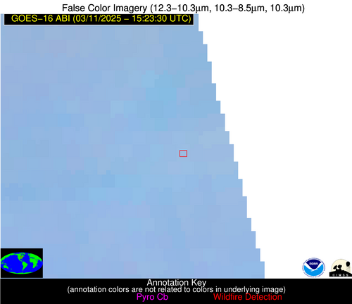
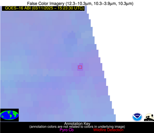
| Latest Satellite Imagery: | |
| View all event imagery » | |
Possible Wildfire
| Basic Information | |
|---|---|
| State/Province(s) | OK |
| Country/Countries | United States |
| County/Locality(s) | Logan County, OK |
| NWS WFO | Norman OK |
| Identification Method | Enhanced Contextual (Clear) |
| Mean Object Date/Time | 2025-03-11 15:23:29UTC |
| Radiative Center (Lat, Lon): | 36.095833°, -97.503609° |
| Nearby Counties (meeting alert criteria): |
|
| Total Radiative Power Anomaly | n/a |
| Total Radiative Power | 8.85 MW |
| Map: | |
| Additional Information | |
| Alert Status | New Feature |
| Type of Event | Nominal Risk |
| Event Priority Ranking | 4 |
| Maximum Observed BT (3.9 um) | 299.49 K |
| Observed - Background BT (3.9 um) | 3.30 K |
| BT Anomaly (3.9 um) | 7.75 K |
| Maximum Observed - Clear RTM BT (3.9 um) | 11.30 K |
| Maximum Observed BTD (3.9-10/11/12 um) | 8.51 K |
| Observed - Background BTD (3.9-10/11/12 um) | 2.66 K |
| BTD Anomaly (3.9-10/11/12 um) | 5.25 K |
| Similar Pixel Count | 9 |
| BT Time Tendency (3.9 um) | 2.00 K |
| Image Interval | 1.00 minutes |
| Fraction of Surrounding LWIR Pixels that are Colder | 0.82 |
| Fraction of Surrounding Red Channel Pixels that are Brighter | 1.00 |
| Maximum Radiative Power | 8.85 MW |
| Maximum Radiative Power Uncertainty | 0.00 MW |
| Total Radiative Power Uncertainty | 0.00 MW |
| Mean Viewing Angle | 48.30° |
| Mean Solar Zenith Angle | 61.10° |
| Mean Glint Angle | 105.70° |
| Water Fraction | 0.00 |
| Total Pixel Area | 6.00 km2 |
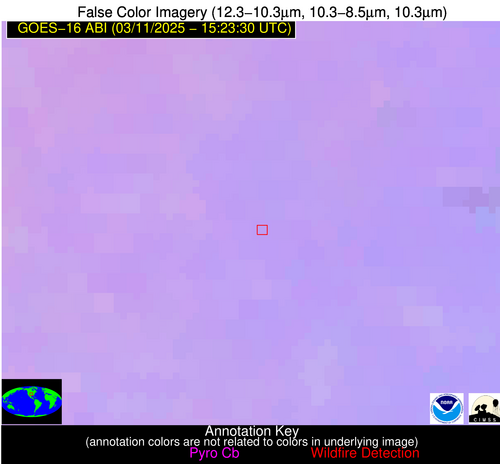
| Latest Satellite Imagery: | |
| View all event imagery » | |


