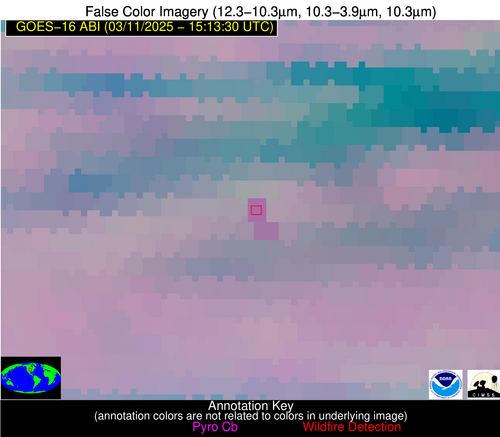
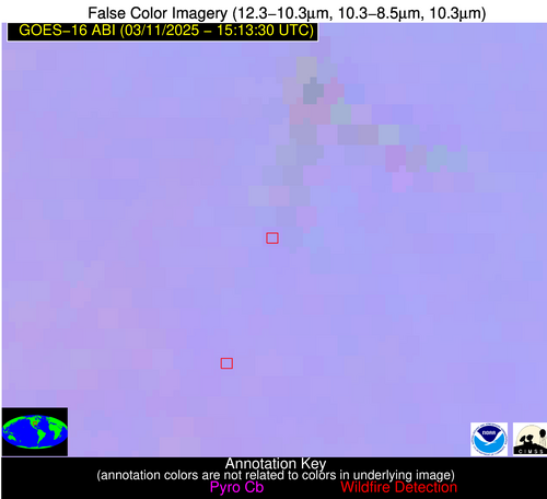
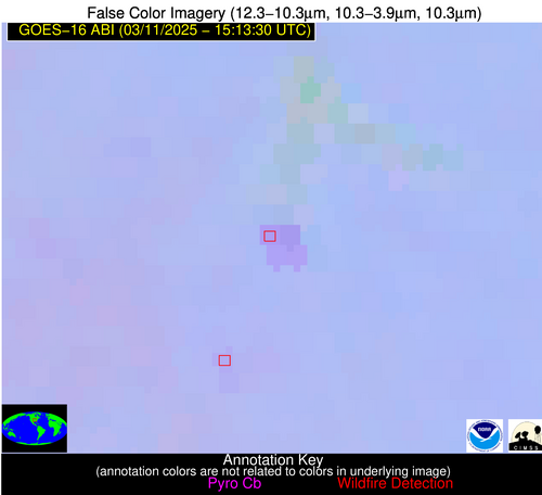
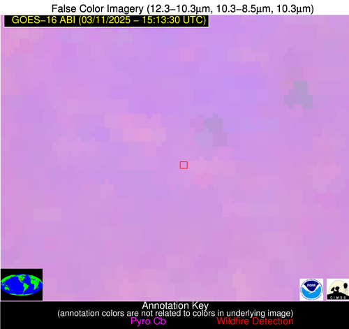
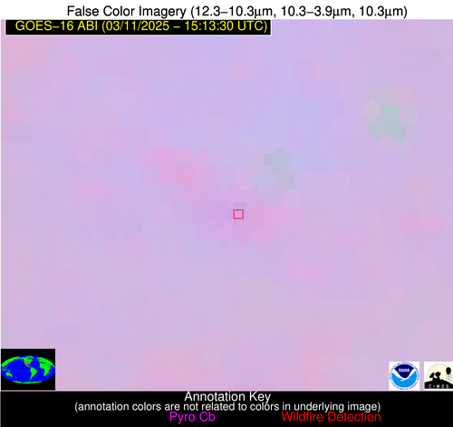
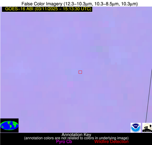
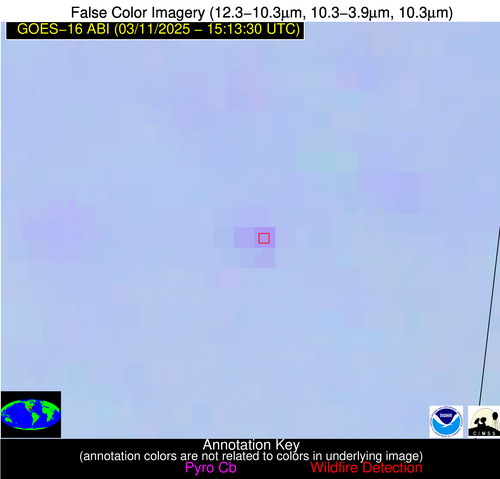
Jan 2026: Due to an ongoing data center cooling system construction project, NGFS data outages may occur with little or no notice.
Wildfire Alert Report
| Date: | 2025-03-11 |
|---|---|
| Time: | 15:13:25 |
| Production Date and Time: | 2025-03-11 15:14:07 UTC |
| Primary Instrument: | GOES-16 ABI |
| Wmo Spacecraft Id: | 152 |
| Location/orbit: | GEO |
| L1 File: | OR_ABI-L1b-RadM1-M6C14_G16_s20250701513252_e20250701513310_c20250701513365.nc |
| L1 File(s) - Temporal | OR_ABI-L1b-RadM1-M6C14_G16_s20250701512252_e20250701512310_c20250701512372.nc |
| Number Of Thermal Anomaly Alerts: | 4 |
Possible Wildfire
| Basic Information | |
|---|---|
| State/Province(s) | NE |
| Country/Countries | United States |
| County/Locality(s) | Hall County, NE |
| NWS WFO | Hastings NE |
| Identification Method | Enhanced Contextual (Clear) |
| Mean Object Date/Time | 2025-03-11 15:13:27UTC |
| Radiative Center (Lat, Lon): | 40.770000°, -98.406944° |
| Nearby Counties (meeting alert criteria): |
|
| Total Radiative Power Anomaly | n/a |
| Total Radiative Power | 31.47 MW |
| Map: | |
| Additional Information | |
| Alert Status | New Feature |
| Type of Event | Nominal Risk |
| Event Priority Ranking | 4 |
| Maximum Observed BT (3.9 um) | 291.61 K |
| Observed - Background BT (3.9 um) | 4.68 K |
| BT Anomaly (3.9 um) | 4.31 K |
| Maximum Observed - Clear RTM BT (3.9 um) | 9.07 K |
| Maximum Observed BTD (3.9-10/11/12 um) | 15.82 K |
| Observed - Background BTD (3.9-10/11/12 um) | 4.91 K |
| BTD Anomaly (3.9-10/11/12 um) | 4.06 K |
| Similar Pixel Count | 16 |
| BT Time Tendency (3.9 um) | 6.30 K |
| Image Interval | 1.00 minutes |
| Fraction of Surrounding LWIR Pixels that are Colder | 0.54 |
| Fraction of Surrounding Red Channel Pixels that are Brighter | 1.00 |
| Maximum Radiative Power | 18.28 MW |
| Maximum Radiative Power Uncertainty | 0.00 MW |
| Total Radiative Power Uncertainty | 0.00 MW |
| Mean Viewing Angle | 53.00° |
| Mean Solar Zenith Angle | 65.70° |
| Mean Glint Angle | 113.60° |
| Water Fraction | 0.00 |
| Total Pixel Area | 13.30 km2 |
| Latest Satellite Imagery: | |
| View all event imagery » | |
Possible Wildfire
| Basic Information | |
|---|---|
| State/Province(s) | MO |
| Country/Countries | United States |
| County/Locality(s) | Dade County, MO |
| NWS WFO | Springfield MO |
| Identification Method | Enhanced Contextual (Clear) |
| Mean Object Date/Time | 2025-03-11 15:13:27UTC |
| Radiative Center (Lat, Lon): | 37.464169°, -93.810837° |
| Nearby Counties (meeting alert criteria): |
|
| Total Radiative Power Anomaly | n/a |
| Total Radiative Power | 32.13 MW |
| Map: | |
| Additional Information | |
| Alert Status | New Feature |
| Type of Event | Nominal Risk and Red Flag Warning |
| Event Priority Ranking | 1 |
| Maximum Observed BT (3.9 um) | 299.75 K |
| Observed - Background BT (3.9 um) | 4.51 K |
| BT Anomaly (3.9 um) | 6.25 K |
| Maximum Observed - Clear RTM BT (3.9 um) | 13.36 K |
| Maximum Observed BTD (3.9-10/11/12 um) | 9.84 K |
| Observed - Background BTD (3.9-10/11/12 um) | 4.75 K |
| BTD Anomaly (3.9-10/11/12 um) | 10.94 K |
| Similar Pixel Count | 4 |
| BT Time Tendency (3.9 um) | 3.50 K |
| Image Interval | 1.00 minutes |
| Fraction of Surrounding LWIR Pixels that are Colder | 0.68 |
| Fraction of Surrounding Red Channel Pixels that are Brighter | 0.96 |
| Maximum Radiative Power | 11.86 MW |
| Maximum Radiative Power Uncertainty | 0.00 MW |
| Total Radiative Power Uncertainty | 0.00 MW |
| Mean Viewing Angle | 47.80° |
| Mean Solar Zenith Angle | 61.00° |
| Mean Glint Angle | 103.90° |
| Water Fraction | 0.00 |
| Total Pixel Area | 17.90 km2 |
| Latest Satellite Imagery: | |
| View all event imagery » | |
Possible Wildfire
| Basic Information | |
|---|---|
| State/Province(s) | OK |
| Country/Countries | United States |
| County/Locality(s) | Comanche County, OK |
| NWS WFO | Norman OK |
| Identification Method | Enhanced Contextual (Clear) |
| Mean Object Date/Time | 2025-03-11 15:13:29UTC |
| Radiative Center (Lat, Lon): | 34.690556°, -98.556946° |
| Nearby Counties (meeting alert criteria): |
|
| Total Radiative Power Anomaly | n/a |
| Total Radiative Power | 6.05 MW |
| Map: | |
| Additional Information | |
| Alert Status | New Feature |
| Type of Event | Nominal Risk |
| Event Priority Ranking | 4 |
| Maximum Observed BT (3.9 um) | 295.83 K |
| Observed - Background BT (3.9 um) | 3.05 K |
| BT Anomaly (3.9 um) | 2.93 K |
| Maximum Observed - Clear RTM BT (3.9 um) | 9.57 K |
| Maximum Observed BTD (3.9-10/11/12 um) | 7.54 K |
| Observed - Background BTD (3.9-10/11/12 um) | 2.61 K |
| BTD Anomaly (3.9-10/11/12 um) | 7.88 K |
| Similar Pixel Count | 22 |
| BT Time Tendency (3.9 um) | 0.50 K |
| Image Interval | 1.00 minutes |
| Fraction of Surrounding LWIR Pixels that are Colder | 0.67 |
| Fraction of Surrounding Red Channel Pixels that are Brighter | 1.00 |
| Maximum Radiative Power | 6.05 MW |
| Maximum Radiative Power Uncertainty | 0.00 MW |
| Total Radiative Power Uncertainty | 0.00 MW |
| Mean Viewing Angle | 47.60° |
| Mean Solar Zenith Angle | 63.00° |
| Mean Glint Angle | 106.50° |
| Water Fraction | 0.00 |
| Total Pixel Area | 5.90 km2 |
| Latest Satellite Imagery: | |
| View all event imagery » | |
Possible Wildfire
| Basic Information | |
|---|---|
| State/Province(s) | MS |
| Country/Countries | United States |
| County/Locality(s) | Lowndes County, MS |
| NWS WFO | Jackson MS |
| Identification Method | Enhanced Contextual (Clear) |
| Mean Object Date/Time | 2025-03-11 15:13:31UTC |
| Radiative Center (Lat, Lon): | 33.443054°, -88.566948° |
| Nearby Counties (meeting alert criteria): |
|
| Total Radiative Power Anomaly | n/a |
| Total Radiative Power | 14.38 MW |
| Map: | |
| Additional Information | |
| Alert Status | New Feature |
| Type of Event | Ferrous-metal |
| Event Priority Ranking | 5 |
| Maximum Observed BT (3.9 um) | 300.38 K |
| Observed - Background BT (3.9 um) | 7.49 K |
| BT Anomaly (3.9 um) | 9.43 K |
| Maximum Observed - Clear RTM BT (3.9 um) | 14.98 K |
| Maximum Observed BTD (3.9-10/11/12 um) | 9.98 K |
| Observed - Background BTD (3.9-10/11/12 um) | 6.44 K |
| BTD Anomaly (3.9-10/11/12 um) | 15.24 K |
| Similar Pixel Count | 2 |
| BT Time Tendency (3.9 um) | 2.80 K |
| Image Interval | 1.00 minutes |
| Fraction of Surrounding LWIR Pixels that are Colder | 0.99 |
| Fraction of Surrounding Red Channel Pixels that are Brighter | 0.14 |
| Maximum Radiative Power | 14.38 MW |
| Maximum Radiative Power Uncertainty | 0.00 MW |
| Total Radiative Power Uncertainty | 0.00 MW |
| Mean Viewing Angle | 41.60° |
| Mean Solar Zenith Angle | 55.20° |
| Mean Glint Angle | 92.00° |
| Water Fraction | 0.00 |
| Total Pixel Area | 5.40 km2 |
| Latest Satellite Imagery: | |
| View all event imagery » | |

