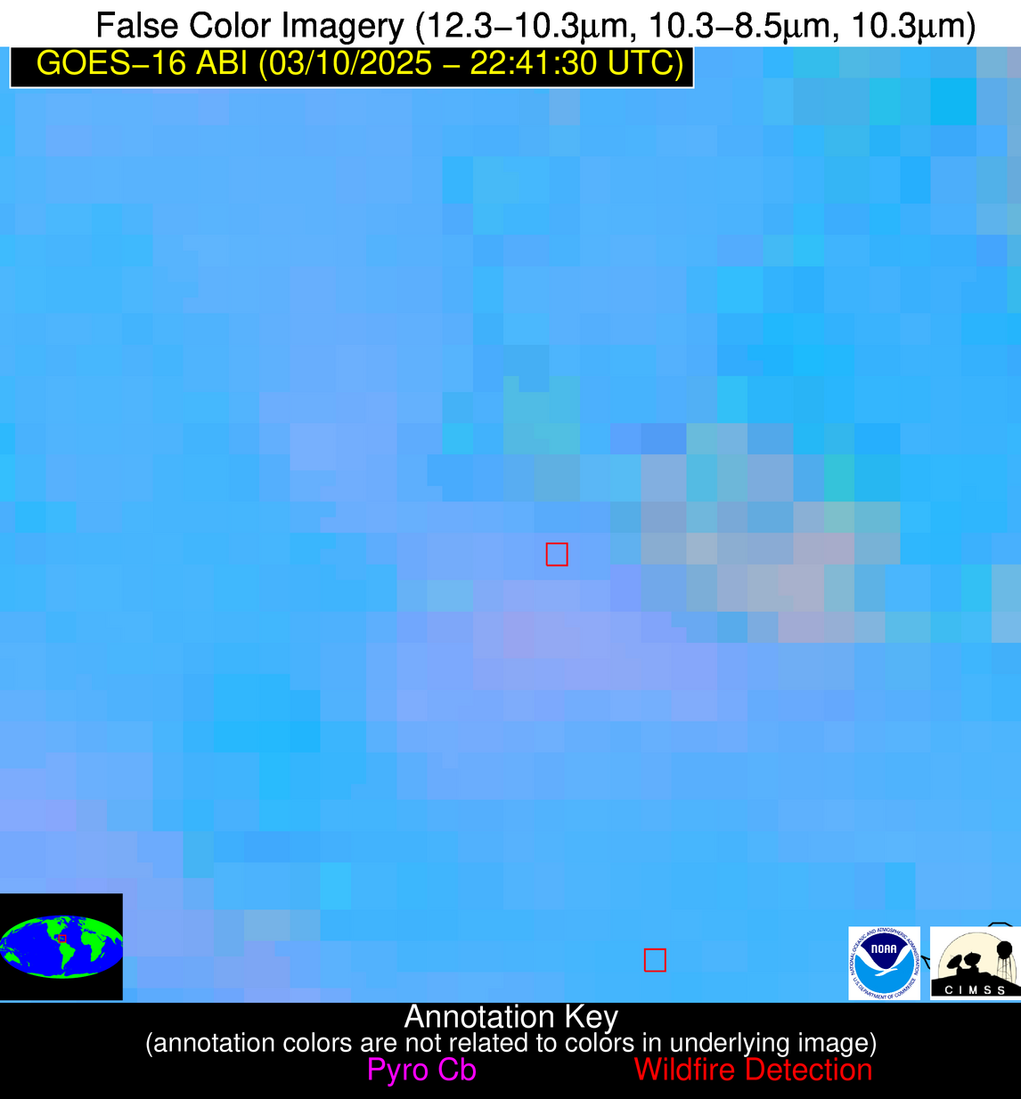
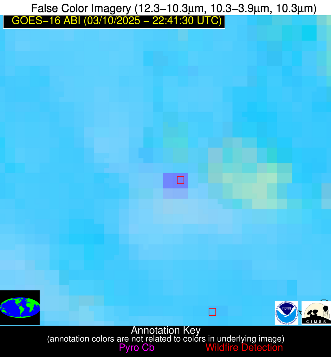
Jan 2026: Due to an ongoing data center cooling system construction project, NGFS data outages may occur with little or no notice. Bitterly cold air in Madison Jan 22-24 increases risk of outages.
Wildfire Alert Report
| Date: | 2025-03-10 |
|---|---|
| Time: | 22:41:17 |
| Production Date and Time: | 2025-03-10 22:47:45 UTC |
| Primary Instrument: | GOES-16 ABI |
| Wmo Spacecraft Id: | 152 |
| Location/orbit: | GEO |
| L1 File: | OR_ABI-L1b-RadC-M6C14_G16_s20250692241174_e20250692243546_c20250692244049.nc |
| L1 File(s) - Temporal | OR_ABI-L1b-RadC-M6C14_G16_s20250692236174_e20250692238546_c20250692239043.nc |
| Number Of Thermal Anomaly Alerts: | 11 |
Possible Wildfire
| Basic Information | |
|---|---|
| State/Province(s) | IL |
| Country/Countries | United States |
| County/Locality(s) | Coles County, IL |
| NWS WFO | Lincoln IL |
| Identification Method | Enhanced Contextual (Clear) |
| Mean Object Date/Time | 2025-03-10 22:41:51UTC |
| Radiative Center (Lat, Lon): | 39.591389°, -88.142776° |
| Nearby Counties (meeting alert criteria): |
|
| Total Radiative Power Anomaly | n/a |
| Total Radiative Power | 5.20 MW |
| Map: | |
| Additional Information | |
| Alert Status | New Feature |
| Type of Event | Nominal Risk |
| Event Priority Ranking | 4 |
| Maximum Observed BT (3.9 um) | 291.95 K |
| Observed - Background BT (3.9 um) | 2.98 K |
| BT Anomaly (3.9 um) | 4.21 K |
| Maximum Observed - Clear RTM BT (3.9 um) | 9.33 K |
| Maximum Observed BTD (3.9-10/11/12 um) | 5.64 K |
| Observed - Background BTD (3.9-10/11/12 um) | 3.20 K |
| BTD Anomaly (3.9-10/11/12 um) | 7.59 K |
| Similar Pixel Count | 2 |
| BT Time Tendency (3.9 um) | 0.90 K |
| Image Interval | 5.00 minutes |
| Fraction of Surrounding LWIR Pixels that are Colder | 0.32 |
| Fraction of Surrounding Red Channel Pixels that are Brighter | 1.00 |
| Maximum Radiative Power | 5.20 MW |
| Maximum Radiative Power Uncertainty | 0.00 MW |
| Total Radiative Power Uncertainty | 0.00 MW |
| Mean Viewing Angle | 48.00° |
| Mean Solar Zenith Angle | 77.40° |
| Mean Glint Angle | 79.50° |
| Water Fraction | 0.00 |
| Total Pixel Area | 6.00 km2 |
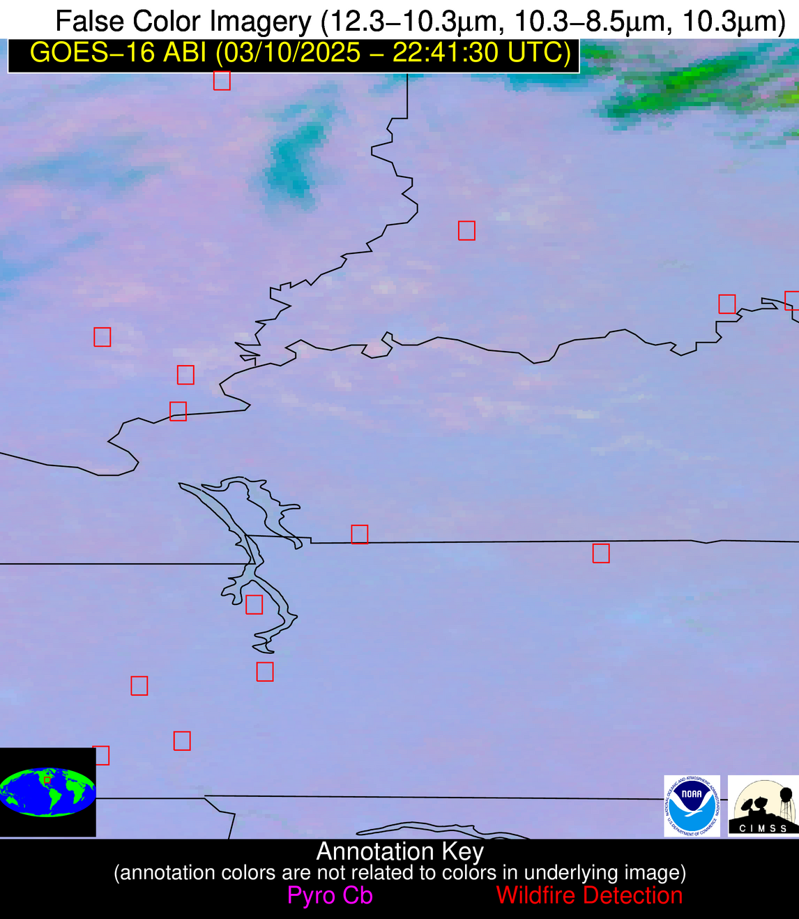
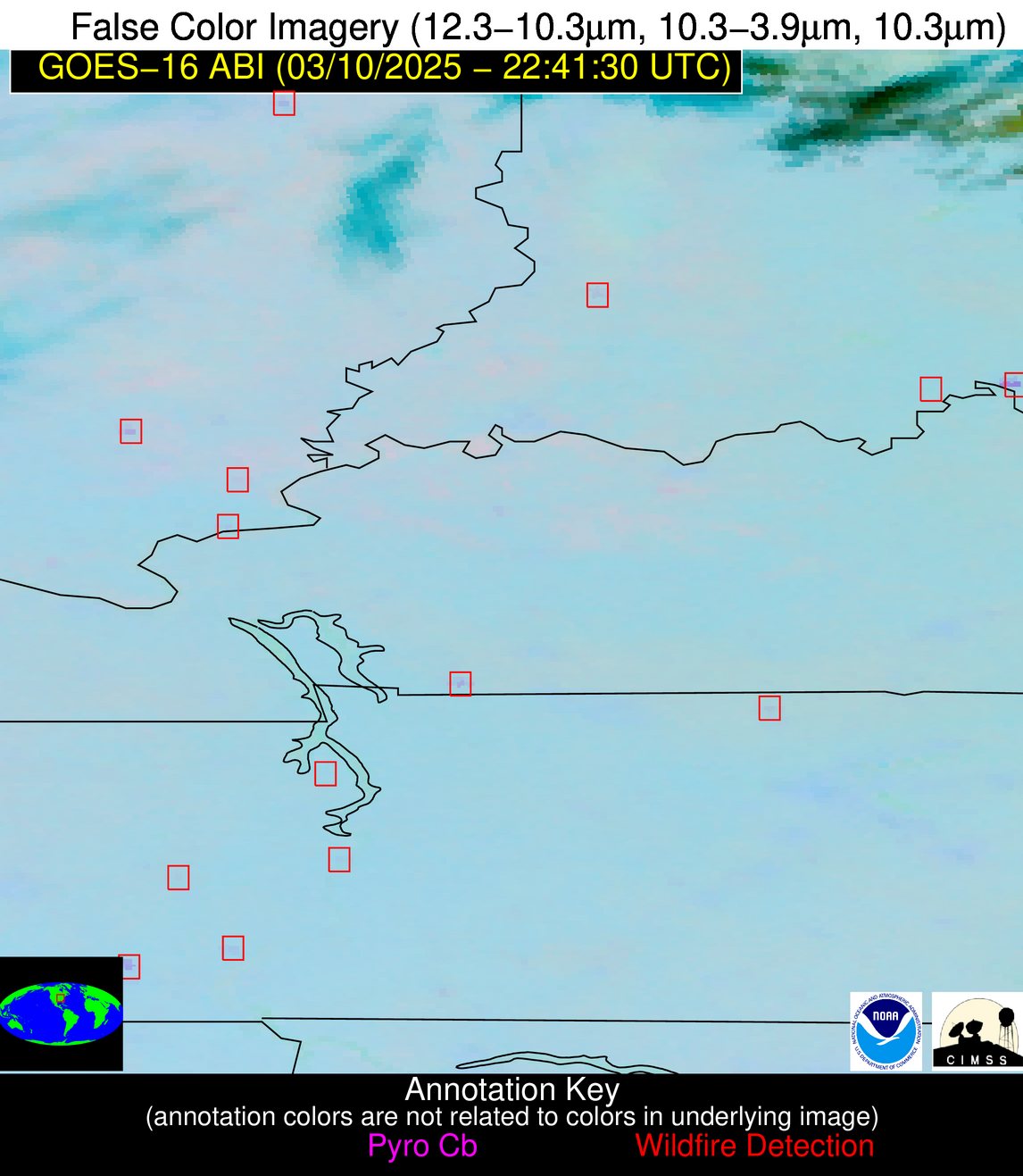
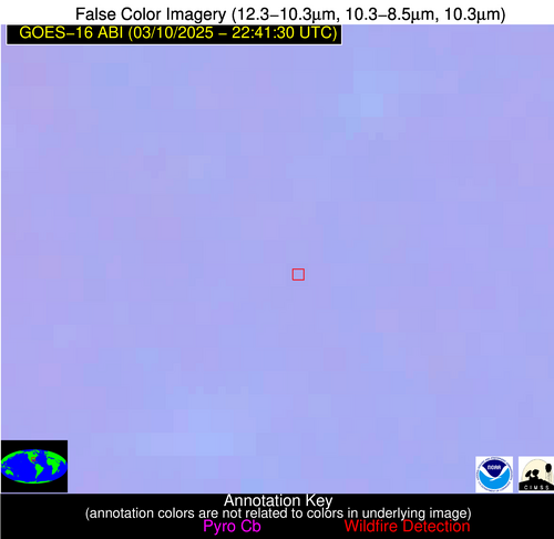
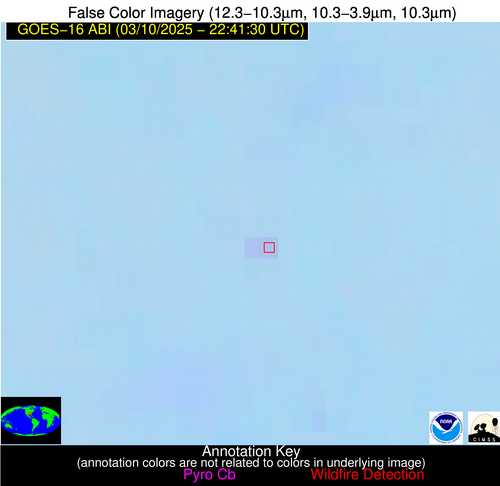
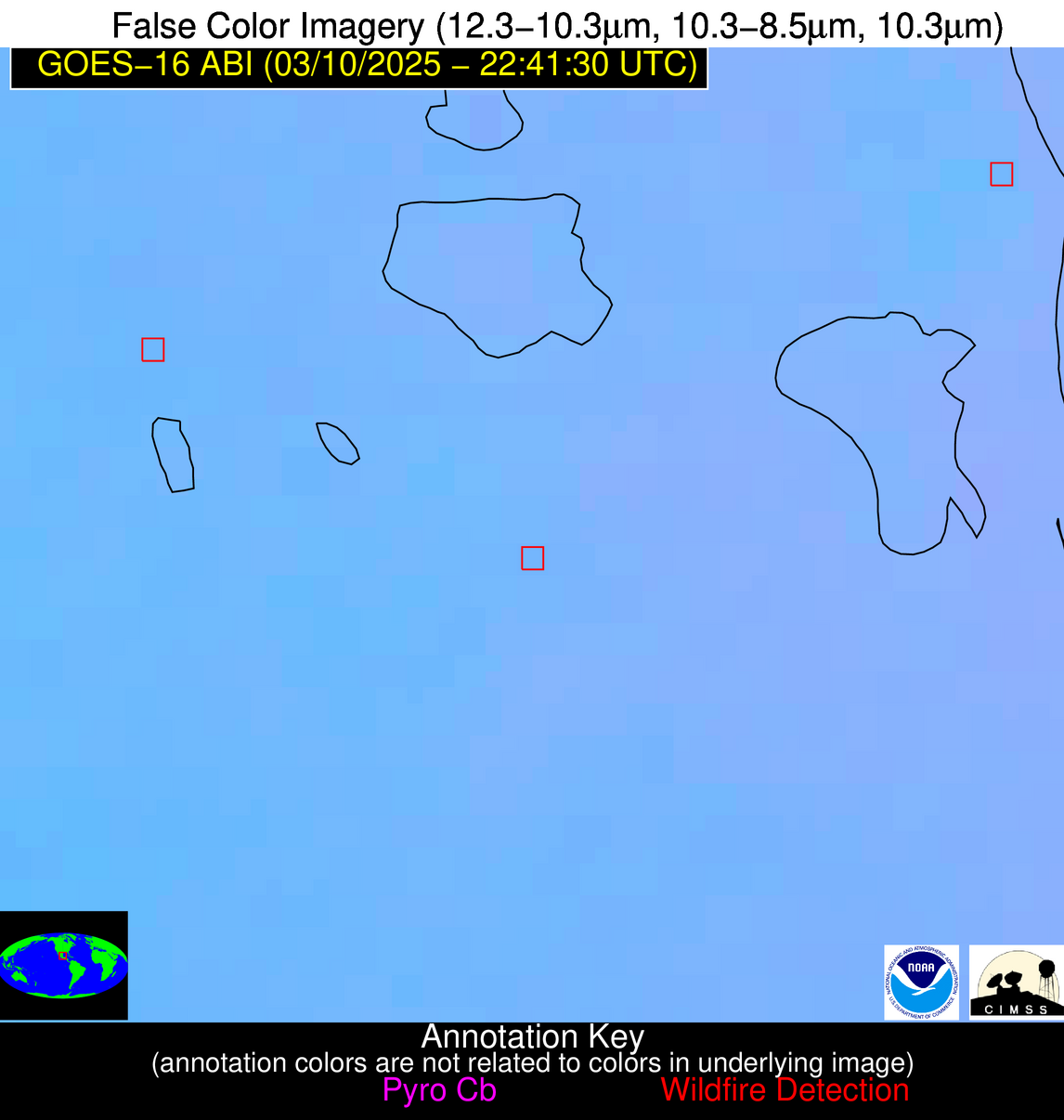
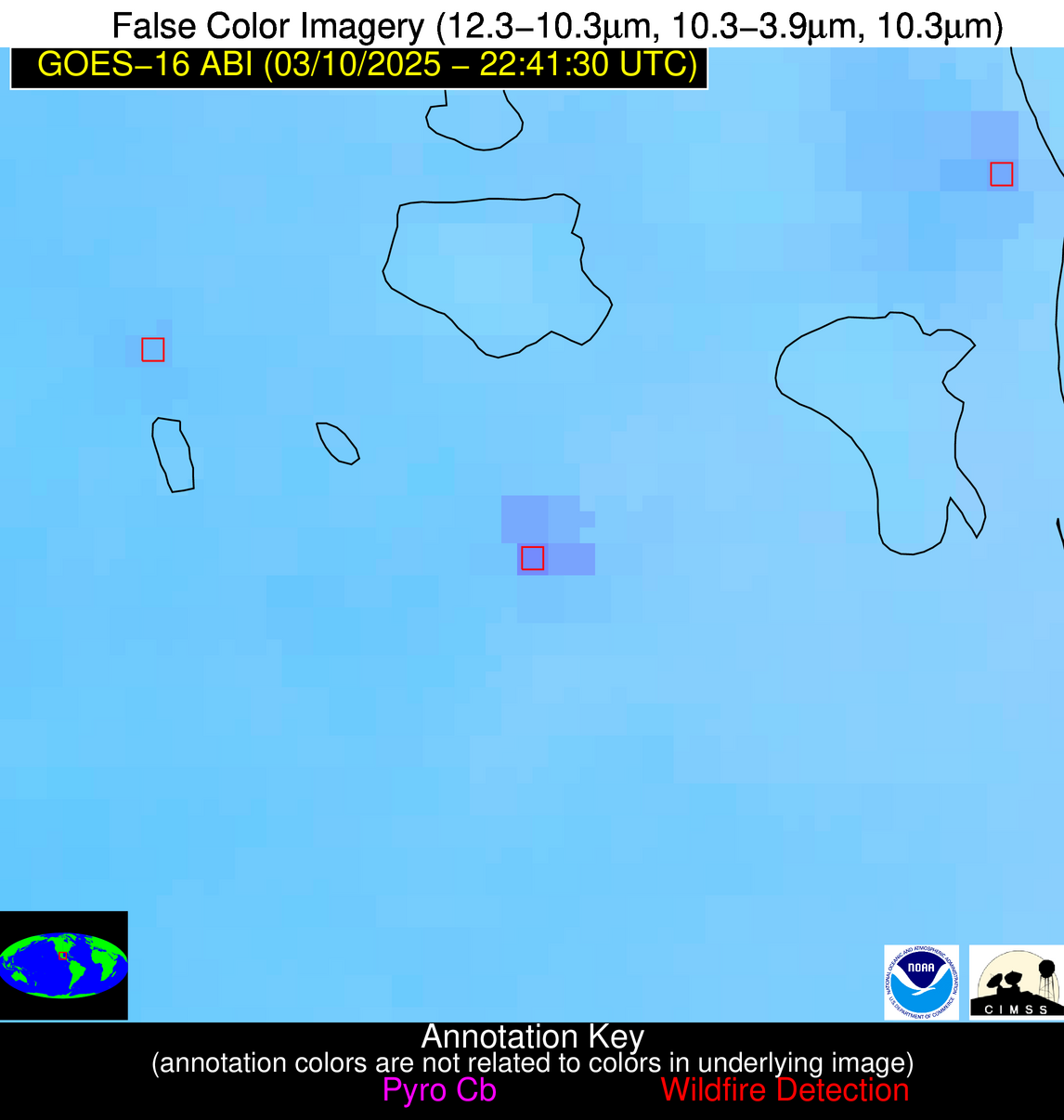
| Latest Satellite Imagery: | |
| View all event imagery » | |
Possible Wildfire
| Basic Information | |
|---|---|
| State/Province(s) | IN |
| Country/Countries | United States |
| County/Locality(s) | Knox County, IN |
| NWS WFO | Indianapolis IN |
| Identification Method | Enhanced Contextual (Clear) |
| Mean Object Date/Time | 2025-03-10 22:41:51UTC |
| Radiative Center (Lat, Lon): | 38.631943°, -87.337776° |
| Nearby Counties (meeting alert criteria): |
|
| Total Radiative Power Anomaly | n/a |
| Total Radiative Power | 4.51 MW |
| Map: | |
| Additional Information | |
| Alert Status | New Feature |
| Type of Event | Nominal Risk |
| Event Priority Ranking | 4 |
| Maximum Observed BT (3.9 um) | 289.54 K |
| Observed - Background BT (3.9 um) | 2.03 K |
| BT Anomaly (3.9 um) | 9.05 K |
| Maximum Observed - Clear RTM BT (3.9 um) | 7.62 K |
| Maximum Observed BTD (3.9-10/11/12 um) | 4.34 K |
| Observed - Background BTD (3.9-10/11/12 um) | 2.18 K |
| BTD Anomaly (3.9-10/11/12 um) | 12.94 K |
| Similar Pixel Count | 4 |
| BT Time Tendency (3.9 um) | 0.80 K |
| Image Interval | 5.00 minutes |
| Fraction of Surrounding LWIR Pixels that are Colder | 0.37 |
| Fraction of Surrounding Red Channel Pixels that are Brighter | 1.00 |
| Maximum Radiative Power | 4.51 MW |
| Maximum Radiative Power Uncertainty | 0.00 MW |
| Total Radiative Power Uncertainty | 0.00 MW |
| Mean Viewing Angle | 46.70° |
| Mean Solar Zenith Angle | 77.70° |
| Mean Glint Angle | 79.60° |
| Water Fraction | 0.00 |
| Total Pixel Area | 5.80 km2 |
| Latest Satellite Imagery: | |
| View all event imagery » | |
Possible Wildfire
| Basic Information | |
|---|---|
| State/Province(s) | IL |
| Country/Countries | United States |
| County/Locality(s) | Hamilton County, IL |
| NWS WFO | Paducah KY |
| Identification Method | Enhanced Contextual (Clear) |
| Mean Object Date/Time | 2025-03-10 22:41:51UTC |
| Radiative Center (Lat, Lon): | 37.951111°, -88.535835° |
| Nearby Counties (meeting alert criteria): |
|
| Total Radiative Power Anomaly | n/a |
| Total Radiative Power | 11.35 MW |
| Map: | |
| Additional Information | |
| Alert Status | New Feature |
| Type of Event | Nominal Risk |
| Event Priority Ranking | 4 |
| Maximum Observed BT (3.9 um) | 293.69 K |
| Observed - Background BT (3.9 um) | 4.87 K |
| BT Anomaly (3.9 um) | 9.72 K |
| Maximum Observed - Clear RTM BT (3.9 um) | 10.87 K |
| Maximum Observed BTD (3.9-10/11/12 um) | 7.25 K |
| Observed - Background BTD (3.9-10/11/12 um) | 5.13 K |
| BTD Anomaly (3.9-10/11/12 um) | 25.02 K |
| Similar Pixel Count | 1 |
| BT Time Tendency (3.9 um) | 3.20 K |
| Image Interval | 5.00 minutes |
| Fraction of Surrounding LWIR Pixels that are Colder | 0.17 |
| Fraction of Surrounding Red Channel Pixels that are Brighter | 1.00 |
| Maximum Radiative Power | 11.35 MW |
| Maximum Radiative Power Uncertainty | 0.00 MW |
| Total Radiative Power Uncertainty | 0.00 MW |
| Mean Viewing Angle | 46.40° |
| Mean Solar Zenith Angle | 76.70° |
| Mean Glint Angle | 77.80° |
| Water Fraction | 0.00 |
| Total Pixel Area | 5.80 km2 |
| Latest Satellite Imagery: | |
| View all event imagery » | |
Possible Wildfire
| Basic Information | |
|---|---|
| State/Province(s) | TN |
| Country/Countries | United States |
| County/Locality(s) | Robertson County, TN |
| NWS WFO | Nashville TN |
| Identification Method | Enhanced Contextual (Clear) |
| Mean Object Date/Time | 2025-03-10 22:41:51UTC |
| Radiative Center (Lat, Lon): | 36.567501°, -86.895836° |
| Nearby Counties (meeting alert criteria): |
|
| Total Radiative Power Anomaly | n/a |
| Total Radiative Power | 4.14 MW |
| Map: | |
| Additional Information | |
| Alert Status | New Feature |
| Type of Event | Nominal Risk |
| Event Priority Ranking | 4 |
| Maximum Observed BT (3.9 um) | 288.92 K |
| Observed - Background BT (3.9 um) | 2.00 K |
| BT Anomaly (3.9 um) | 4.30 K |
| Maximum Observed - Clear RTM BT (3.9 um) | 8.33 K |
| Maximum Observed BTD (3.9-10/11/12 um) | 4.09 K |
| Observed - Background BTD (3.9-10/11/12 um) | 2.16 K |
| BTD Anomaly (3.9-10/11/12 um) | 14.23 K |
| Similar Pixel Count | 1 |
| BT Time Tendency (3.9 um) | 0.60 K |
| Image Interval | 5.00 minutes |
| Fraction of Surrounding LWIR Pixels that are Colder | 0.43 |
| Fraction of Surrounding Red Channel Pixels that are Brighter | 1.00 |
| Maximum Radiative Power | 4.14 MW |
| Maximum Radiative Power Uncertainty | 0.00 MW |
| Total Radiative Power Uncertainty | 0.00 MW |
| Mean Viewing Angle | 44.40° |
| Mean Solar Zenith Angle | 77.50° |
| Mean Glint Angle | 78.60° |
| Water Fraction | 0.00 |
| Total Pixel Area | 5.60 km2 |
| Latest Satellite Imagery: | |
| View all event imagery » | |
Possible Wildfire
| Basic Information | |
|---|---|
| State/Province(s) | OK |
| Country/Countries | United States |
| County/Locality(s) | Osage County, OK |
| NWS WFO | Tulsa OK |
| Identification Method | Enhanced Contextual (Clear) |
| Mean Object Date/Time | 2025-03-10 22:41:50UTC |
| Radiative Center (Lat, Lon): | 36.648056°, -96.064720° |
| Nearby Counties (meeting alert criteria): |
|
| Total Radiative Power Anomaly | n/a |
| Total Radiative Power | 5.06 MW |
| Map: | |
| Additional Information | |
| Alert Status | New Feature |
| Type of Event | Nominal Risk |
| Event Priority Ranking | 4 |
| Maximum Observed BT (3.9 um) | 296.74 K |
| Observed - Background BT (3.9 um) | 1.79 K |
| BT Anomaly (3.9 um) | 4.46 K |
| Maximum Observed - Clear RTM BT (3.9 um) | 10.05 K |
| Maximum Observed BTD (3.9-10/11/12 um) | 4.32 K |
| Observed - Background BTD (3.9-10/11/12 um) | 1.92 K |
| BTD Anomaly (3.9-10/11/12 um) | 12.29 K |
| Similar Pixel Count | 4 |
| BT Time Tendency (3.9 um) | 1.30 K |
| Image Interval | 5.00 minutes |
| Fraction of Surrounding LWIR Pixels that are Colder | 0.35 |
| Fraction of Surrounding Red Channel Pixels that are Brighter | 1.00 |
| Maximum Radiative Power | 5.06 MW |
| Maximum Radiative Power Uncertainty | 0.00 MW |
| Total Radiative Power Uncertainty | 0.00 MW |
| Mean Viewing Angle | 48.10° |
| Mean Solar Zenith Angle | 70.60° |
| Mean Glint Angle | 69.20° |
| Water Fraction | 0.00 |
| Total Pixel Area | 6.00 km2 |
| Latest Satellite Imagery: | |
| View all event imagery » | |
Possible Wildfire
| Basic Information | |
|---|---|
| State/Province(s) | AR |
| Country/Countries | United States |
| County/Locality(s) | St. Francis County, AR |
| NWS WFO | Memphis TN |
| Identification Method | Enhanced Contextual (Clear) |
| Mean Object Date/Time | 2025-03-10 22:42:21UTC |
| Radiative Center (Lat, Lon): | 35.113888°, -90.855003° |
| Nearby Counties (meeting alert criteria): |
|
| Total Radiative Power Anomaly | n/a |
| Total Radiative Power | 5.57 MW |
| Map: | |
| Additional Information | |
| Alert Status | New Feature |
| Type of Event | Nominal Risk |
| Event Priority Ranking | 4 |
| Maximum Observed BT (3.9 um) | 292.23 K |
| Observed - Background BT (3.9 um) | 2.66 K |
| BT Anomaly (3.9 um) | 7.22 K |
| Maximum Observed - Clear RTM BT (3.9 um) | 8.29 K |
| Maximum Observed BTD (3.9-10/11/12 um) | 4.63 K |
| Observed - Background BTD (3.9-10/11/12 um) | 2.49 K |
| BTD Anomaly (3.9-10/11/12 um) | 8.37 K |
| Similar Pixel Count | 1 |
| BT Time Tendency (3.9 um) | 1.70 K |
| Image Interval | 5.00 minutes |
| Fraction of Surrounding LWIR Pixels that are Colder | 0.62 |
| Fraction of Surrounding Red Channel Pixels that are Brighter | 1.00 |
| Maximum Radiative Power | 5.57 MW |
| Maximum Radiative Power Uncertainty | 0.00 MW |
| Total Radiative Power Uncertainty | 0.00 MW |
| Mean Viewing Angle | 44.30° |
| Mean Solar Zenith Angle | 74.00° |
| Mean Glint Angle | 72.90° |
| Water Fraction | 0.00 |
| Total Pixel Area | 5.60 km2 |
| Latest Satellite Imagery: | |
| View all event imagery » | |
Possible Wildfire
| Basic Information | |
|---|---|
| State/Province(s) | AL |
| Country/Countries | United States |
| County/Locality(s) | Madison County, AL |
| NWS WFO | Huntsville AL |
| Identification Method | Enhanced Contextual (Clear) |
| Mean Object Date/Time | 2025-03-10 22:42:21UTC |
| Radiative Center (Lat, Lon): | 34.980000°, -86.550003° |
| Nearby Counties (meeting alert criteria): |
|
| Total Radiative Power Anomaly | n/a |
| Total Radiative Power | 3.09 MW |
| Map: | |
| Additional Information | |
| Alert Status | New Feature |
| Type of Event | Nominal Risk |
| Event Priority Ranking | 4 |
| Maximum Observed BT (3.9 um) | 289.61 K |
| Observed - Background BT (3.9 um) | 1.57 K |
| BT Anomaly (3.9 um) | 3.16 K |
| Maximum Observed - Clear RTM BT (3.9 um) | 8.96 K |
| Maximum Observed BTD (3.9-10/11/12 um) | 3.30 K |
| Observed - Background BTD (3.9-10/11/12 um) | 1.57 K |
| BTD Anomaly (3.9-10/11/12 um) | 7.36 K |
| Similar Pixel Count | 3 |
| BT Time Tendency (3.9 um) | 1.10 K |
| Image Interval | 5.00 minutes |
| Fraction of Surrounding LWIR Pixels that are Colder | 0.51 |
| Fraction of Surrounding Red Channel Pixels that are Brighter | 1.00 |
| Maximum Radiative Power | 3.09 MW |
| Maximum Radiative Power Uncertainty | 0.00 MW |
| Total Radiative Power Uncertainty | 0.00 MW |
| Mean Viewing Angle | 42.60° |
| Mean Solar Zenith Angle | 77.40° |
| Mean Glint Angle | 77.80° |
| Water Fraction | 0.00 |
| Total Pixel Area | 5.40 km2 |
| Latest Satellite Imagery: | |
| View all event imagery » | |
Possible Wildfire
| Basic Information | |
|---|---|
| State/Province(s) | TX |
| Country/Countries | United States |
| County/Locality(s) | Rusk County, TX |
| NWS WFO | Shreveport LA |
| Identification Method | Enhanced Contextual (Clear) |
| Mean Object Date/Time | 2025-03-10 22:42:20UTC |
| Radiative Center (Lat, Lon): | 32.326668°, -94.607780° |
| Nearby Counties (meeting alert criteria): |
|
| Total Radiative Power Anomaly | n/a |
| Total Radiative Power | 6.99 MW |
| Map: | |
| Additional Information | |
| Alert Status | New Feature |
| Type of Event | Nominal Risk |
| Event Priority Ranking | 4 |
| Maximum Observed BT (3.9 um) | 295.33 K |
| Observed - Background BT (3.9 um) | 3.03 K |
| BT Anomaly (3.9 um) | 5.61 K |
| Maximum Observed - Clear RTM BT (3.9 um) | 10.61 K |
| Maximum Observed BTD (3.9-10/11/12 um) | 4.93 K |
| Observed - Background BTD (3.9-10/11/12 um) | 2.98 K |
| BTD Anomaly (3.9-10/11/12 um) | 10.63 K |
| Similar Pixel Count | 1 |
| BT Time Tendency (3.9 um) | 0.90 K |
| Image Interval | 5.00 minutes |
| Fraction of Surrounding LWIR Pixels that are Colder | 0.61 |
| Fraction of Surrounding Red Channel Pixels that are Brighter | 1.00 |
| Maximum Radiative Power | 6.99 MW |
| Maximum Radiative Power Uncertainty | 0.00 MW |
| Total Radiative Power Uncertainty | 0.00 MW |
| Mean Viewing Angle | 43.30° |
| Mean Solar Zenith Angle | 70.20° |
| Mean Glint Angle | 66.10° |
| Water Fraction | 0.00 |
| Total Pixel Area | 5.50 km2 |
| Latest Satellite Imagery: | |
| View all event imagery » | |
Possible Wildfire
| Basic Information | |
|---|---|
| State/Province(s) | MS |
| Country/Countries | United States |
| County/Locality(s) | Jones County, MS |
| NWS WFO | Jackson MS |
| Identification Method | Enhanced Contextual (Clear) |
| Mean Object Date/Time | 2025-03-10 22:42:21UTC |
| Radiative Center (Lat, Lon): | 31.496111°, -89.221107° |
| Nearby Counties (meeting alert criteria): |
|
| Total Radiative Power Anomaly | n/a |
| Total Radiative Power | 10.33 MW |
| Map: | |
| Additional Information | |
| Alert Status | New Feature |
| Type of Event | Nominal Risk |
| Event Priority Ranking | 4 |
| Maximum Observed BT (3.9 um) | 293.32 K |
| Observed - Background BT (3.9 um) | 2.19 K |
| BT Anomaly (3.9 um) | 7.71 K |
| Maximum Observed - Clear RTM BT (3.9 um) | 9.19 K |
| Maximum Observed BTD (3.9-10/11/12 um) | 4.02 K |
| Observed - Background BTD (3.9-10/11/12 um) | 2.59 K |
| BTD Anomaly (3.9-10/11/12 um) | 12.16 K |
| Similar Pixel Count | 2 |
| BT Time Tendency (3.9 um) | 1.50 K |
| Image Interval | 5.00 minutes |
| Fraction of Surrounding LWIR Pixels that are Colder | 0.09 |
| Fraction of Surrounding Red Channel Pixels that are Brighter | 1.00 |
| Maximum Radiative Power | 5.33 MW |
| Maximum Radiative Power Uncertainty | 0.00 MW |
| Total Radiative Power Uncertainty | 0.00 MW |
| Mean Viewing Angle | 39.90° |
| Mean Solar Zenith Angle | 74.30° |
| Mean Glint Angle | 71.70° |
| Water Fraction | 0.00 |
| Total Pixel Area | 10.40 km2 |
| Latest Satellite Imagery: | |
| View all event imagery » | |
Possible Wildfire
| Basic Information | |
|---|---|
| State/Province(s) | Veracruz de Ignacio de la Llave |
| Country/Countries | Mexico |
| County/Locality(s) | Pánuco, Veracruz de Ignacio de la Llave |
| NWS WFO | N/A |
| Identification Method | Enhanced Contextual (Clear) |
| Mean Object Date/Time | 2025-03-10 22:43:19UTC |
| Radiative Center (Lat, Lon): | 22.070555°, -98.059998° |
| Nearby Counties (meeting alert criteria): |
|
| Total Radiative Power Anomaly | n/a |
| Total Radiative Power | 41.62 MW |
| Map: | |
| Additional Information | |
| Alert Status | New Feature |
| Type of Event | Nominal Risk |
| Event Priority Ranking | 4 |
| Maximum Observed BT (3.9 um) | 308.44 K |
| Observed - Background BT (3.9 um) | 10.58 K |
| BT Anomaly (3.9 um) | 9.67 K |
| Maximum Observed - Clear RTM BT (3.9 um) | 14.18 K |
| Maximum Observed BTD (3.9-10/11/12 um) | 13.07 K |
| Observed - Background BTD (3.9-10/11/12 um) | 9.31 K |
| BTD Anomaly (3.9-10/11/12 um) | 18.46 K |
| Similar Pixel Count | 2 |
| BT Time Tendency (3.9 um) | 7.20 K |
| Image Interval | 5.00 minutes |
| Fraction of Surrounding LWIR Pixels that are Colder | 0.99 |
| Fraction of Surrounding Red Channel Pixels that are Brighter | 1.00 |
| Maximum Radiative Power | 41.62 MW |
| Maximum Radiative Power Uncertainty | 0.00 MW |
| Total Radiative Power Uncertainty | 0.00 MW |
| Mean Viewing Angle | 36.60° |
| Mean Solar Zenith Angle | 64.10° |
| Mean Glint Angle | 51.00° |
| Water Fraction | 0.00 |
| Total Pixel Area | 10.00 km2 |
| Latest Satellite Imagery: | |
| View all event imagery » | |
Possible Wildfire
| Basic Information | |
|---|---|
| State/Province(s) | Unknown |
| Country/Countries | Haiti |
| County/Locality(s) | Unknown, Unknown |
| NWS WFO | N/A |
| Identification Method | Enhanced Contextual (Clear) |
| Mean Object Date/Time | 2025-03-10 22:43:53UTC |
| Radiative Center (Lat, Lon): | 19.116945°, -72.234169° |
| Nearby Counties (meeting alert criteria): |
|
| Total Radiative Power Anomaly | n/a |
| Total Radiative Power | 48.11 MW |
| Map: | |
| Additional Information | |
| Alert Status | New Feature |
| Type of Event | Nominal Risk |
| Event Priority Ranking | 4 |
| Maximum Observed BT (3.9 um) | 305.25 K |
| Observed - Background BT (3.9 um) | 9.40 K |
| BT Anomaly (3.9 um) | 6.31 K |
| Maximum Observed - Clear RTM BT (3.9 um) | 10.86 K |
| Maximum Observed BTD (3.9-10/11/12 um) | 14.27 K |
| Observed - Background BTD (3.9-10/11/12 um) | 10.02 K |
| BTD Anomaly (3.9-10/11/12 um) | 10.81 K |
| Similar Pixel Count | 2 |
| BT Time Tendency (3.9 um) | 8.40 K |
| Image Interval | 5.00 minutes |
| Fraction of Surrounding LWIR Pixels that are Colder | 0.39 |
| Fraction of Surrounding Red Channel Pixels that are Brighter | 1.00 |
| Maximum Radiative Power | 24.56 MW |
| Maximum Radiative Power Uncertainty | 0.00 MW |
| Total Radiative Power Uncertainty | 0.00 MW |
| Mean Viewing Angle | 22.80° |
| Mean Solar Zenith Angle | 87.20° |
| Mean Glint Angle | 93.10° |
| Water Fraction | 0.00 |
| Total Pixel Area | 8.70 km2 |
| Latest Satellite Imagery: | |
| View all event imagery » | |
