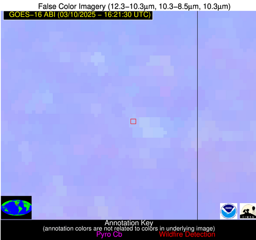
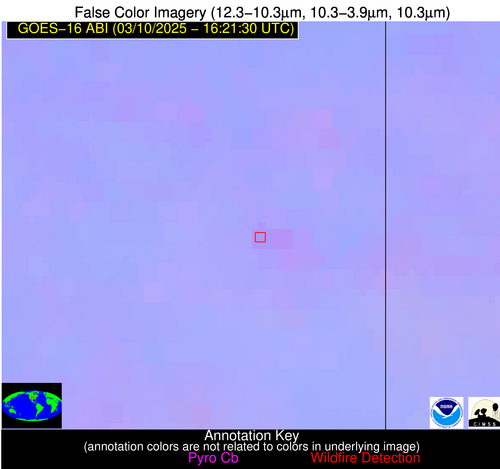
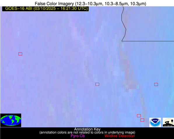
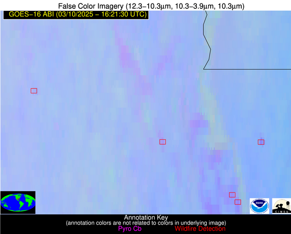
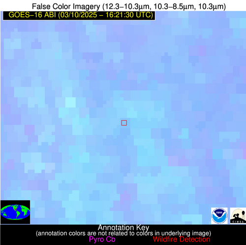
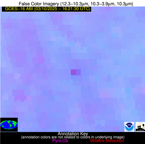
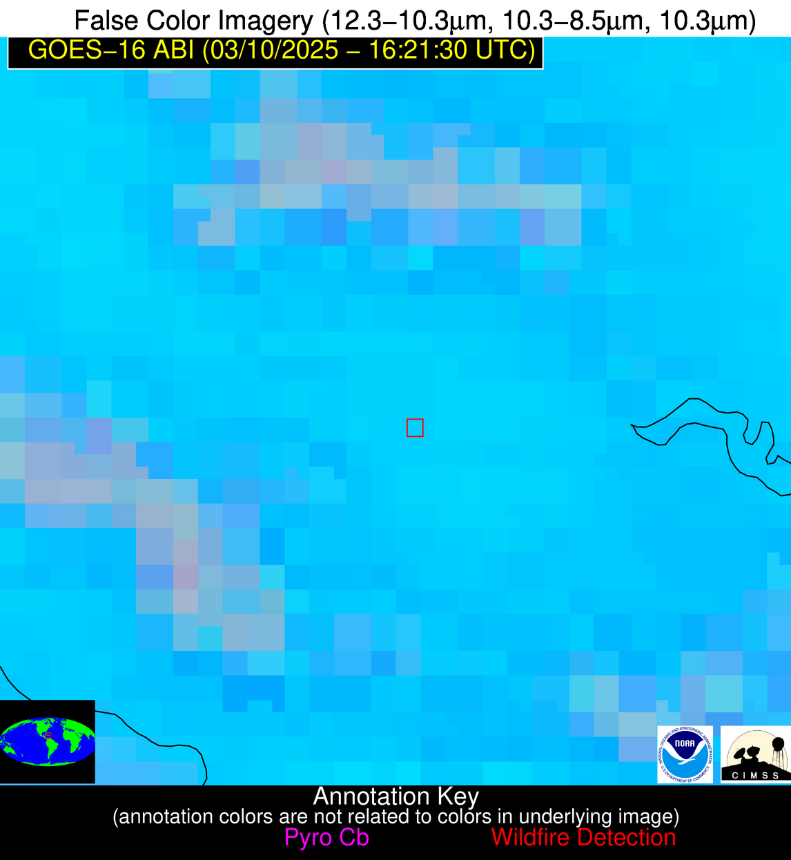
Wildfire Alert Report
| Date: | 2025-03-10 |
|---|---|
| Time: | 16:21:17 |
| Production Date and Time: | 2025-03-10 16:26:10 UTC |
| Primary Instrument: | GOES-16 ABI |
| Wmo Spacecraft Id: | 152 |
| Location/orbit: | GEO |
| L1 File: | OR_ABI-L1b-RadC-M6C14_G16_s20250691621173_e20250691623546_c20250691624038.nc |
| L1 File(s) - Temporal | OR_ABI-L1b-RadC-M6C14_G16_s20250691616173_e20250691618546_c20250691619031.nc |
| Number Of Thermal Anomaly Alerts: | 10 |
Possible Wildfire
| Basic Information | |
|---|---|
| State/Province(s) | IL |
| Country/Countries | United States |
| County/Locality(s) | DeKalb County, IL |
| NWS WFO | Chicago IL |
| Identification Method | Enhanced Contextual (Clear) |
| Mean Object Date/Time | 2025-03-10 16:21:51UTC |
| Radiative Center (Lat, Lon): | 42.001110°, -88.684448° |
| Nearby Counties (meeting alert criteria): |
|
| Total Radiative Power Anomaly | n/a |
| Total Radiative Power | 60.41 MW |
| Map: | |
| Additional Information | |
| Alert Status | New Feature |
| Type of Event | Nominal Risk |
| Event Priority Ranking | 4 |
| Maximum Observed BT (3.9 um) | 303.20 K |
| Observed - Background BT (3.9 um) | 7.15 K |
| BT Anomaly (3.9 um) | 11.22 K |
| Maximum Observed - Clear RTM BT (3.9 um) | 18.94 K |
| Maximum Observed BTD (3.9-10/11/12 um) | 14.49 K |
| Observed - Background BTD (3.9-10/11/12 um) | 5.30 K |
| BTD Anomaly (3.9-10/11/12 um) | 18.09 K |
| Similar Pixel Count | 7 |
| BT Time Tendency (3.9 um) | 5.30 K |
| Image Interval | 5.00 minutes |
| Fraction of Surrounding LWIR Pixels that are Colder | 1.00 |
| Fraction of Surrounding Red Channel Pixels that are Brighter | 0.92 |
| Maximum Radiative Power | 20.91 MW |
| Maximum Radiative Power Uncertainty | 0.00 MW |
| Total Radiative Power Uncertainty | 0.00 MW |
| Mean Viewing Angle | 50.60° |
| Mean Solar Zenith Angle | 52.20° |
| Mean Glint Angle | 101.80° |
| Water Fraction | 0.00 |
| Total Pixel Area | 25.20 km2 |
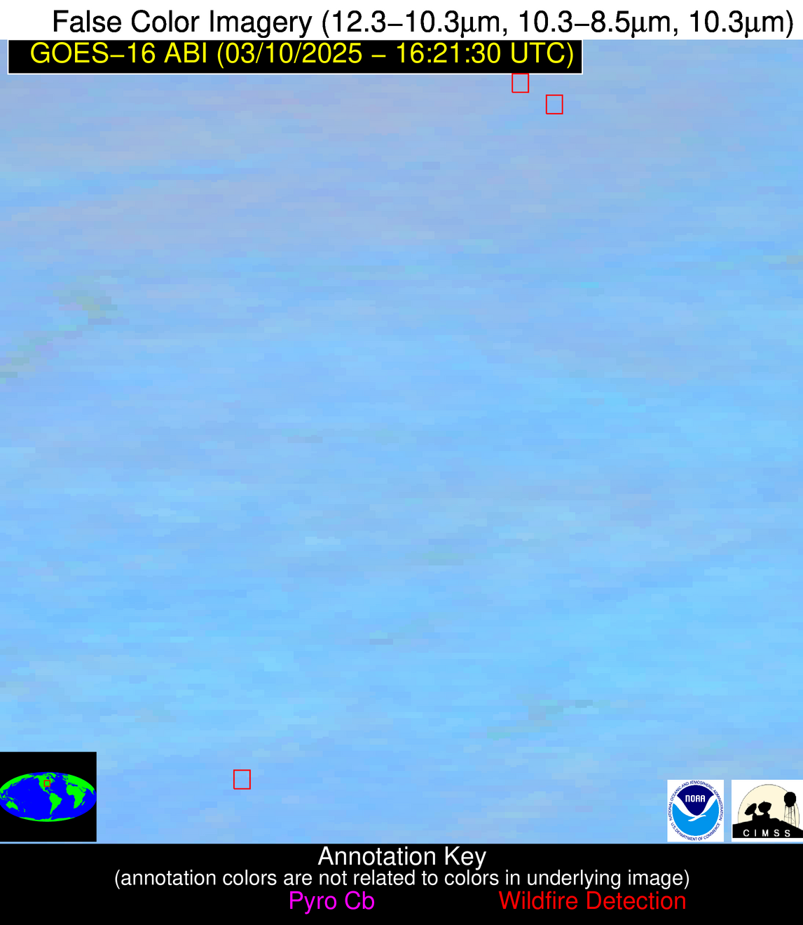
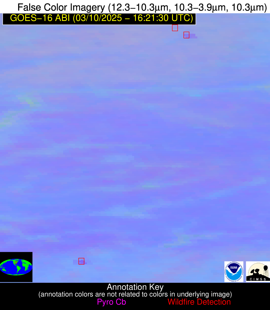
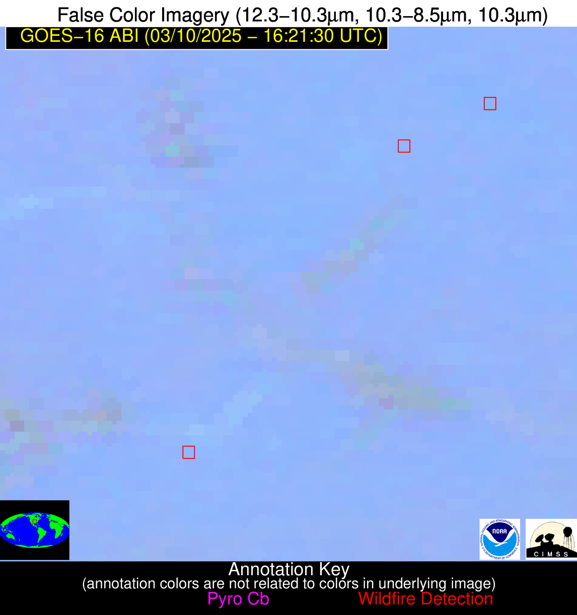
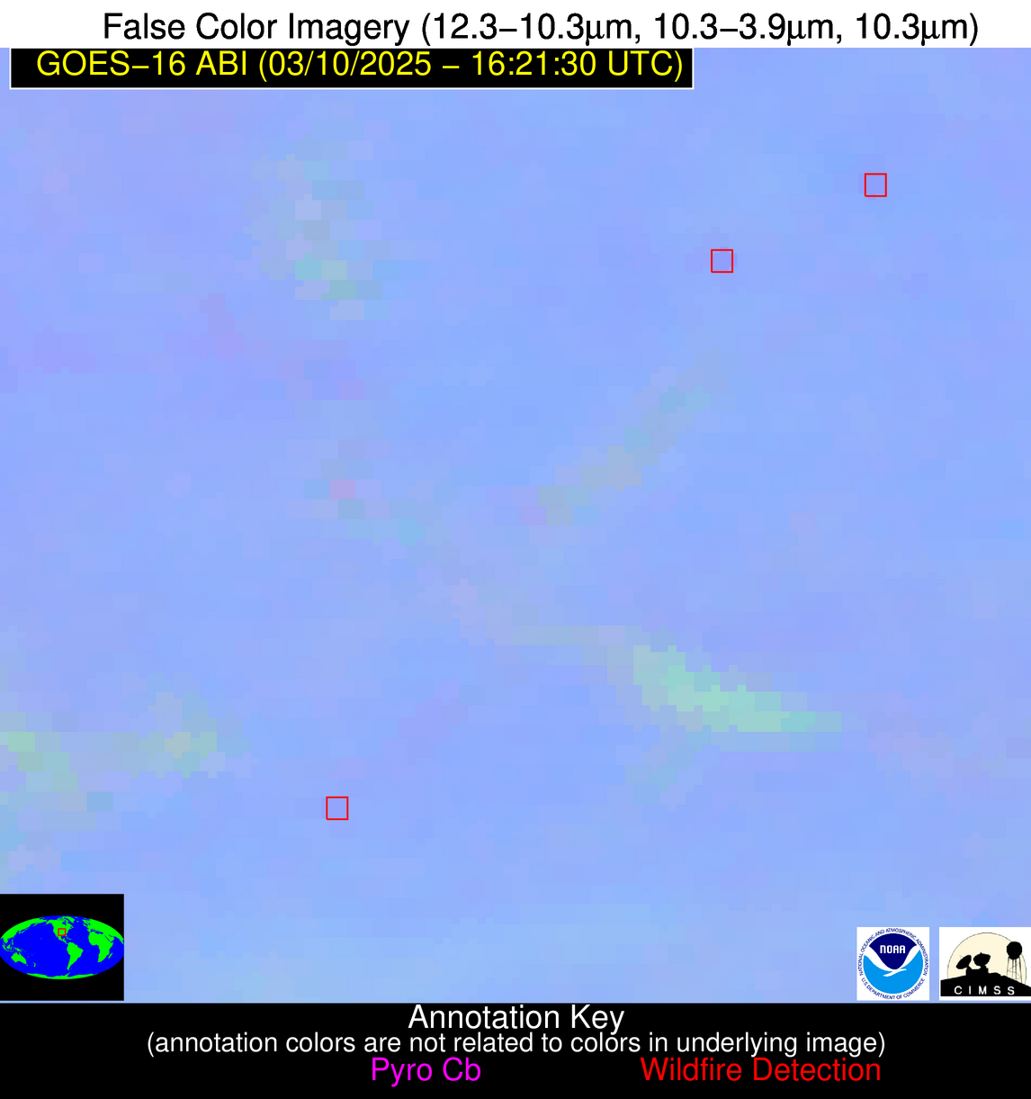
| Latest Satellite Imagery: | |
| View all event imagery » | |
Possible Wildfire
| Basic Information | |
|---|---|
| State/Province(s) | IL |
| Country/Countries | United States |
| County/Locality(s) | Shelby County, IL |
| NWS WFO | Lincoln IL |
| Identification Method | Enhanced Contextual (Cloud) |
| Mean Object Date/Time | 2025-03-10 16:21:51UTC |
| Radiative Center (Lat, Lon): | 39.240833°, -89.128052° |
| Nearby Counties (meeting alert criteria): |
|
| Total Radiative Power Anomaly | n/a |
| Total Radiative Power | 50.60 MW |
| Map: | |
| Additional Information | |
| Alert Status | New Feature |
| Type of Event | Nominal Risk |
| Event Priority Ranking | 4 |
| Maximum Observed BT (3.9 um) | 308.32 K |
| Observed - Background BT (3.9 um) | 7.08 K |
| BT Anomaly (3.9 um) | 4.16 K |
| Maximum Observed - Clear RTM BT (3.9 um) | 22.83 K |
| Maximum Observed BTD (3.9-10/11/12 um) | 17.79 K |
| Observed - Background BTD (3.9-10/11/12 um) | 7.12 K |
| BTD Anomaly (3.9-10/11/12 um) | 4.43 K |
| Similar Pixel Count | 0 |
| BT Time Tendency (3.9 um) | 7.90 K |
| Image Interval | 5.00 minutes |
| Fraction of Surrounding LWIR Pixels that are Colder | 0.38 |
| Fraction of Surrounding Red Channel Pixels that are Brighter | 1.00 |
| Maximum Radiative Power | 27.15 MW |
| Maximum Radiative Power Uncertainty | 0.00 MW |
| Total Radiative Power Uncertainty | 0.00 MW |
| Mean Viewing Angle | 47.90° |
| Mean Solar Zenith Angle | 50.10° |
| Mean Glint Angle | 97.00° |
| Water Fraction | 0.00 |
| Total Pixel Area | 11.90 km2 |
| Latest Satellite Imagery: | |
| View all event imagery » | |
Possible Wildfire
| Basic Information | |
|---|---|
| State/Province(s) | OK |
| Country/Countries | United States |
| County/Locality(s) | Cherokee County, OK |
| NWS WFO | Tulsa OK |
| Identification Method | Enhanced Contextual (Clear) |
| Mean Object Date/Time | 2025-03-10 16:22:20UTC |
| Radiative Center (Lat, Lon): | 35.918888°, -94.889725° |
| Nearby Counties (meeting alert criteria): |
|
| Total Radiative Power Anomaly | n/a |
| Total Radiative Power | 7.12 MW |
| Map: | |
| Additional Information | |
| Alert Status | New Feature |
| Type of Event | Nominal Risk |
| Event Priority Ranking | 4 |
| Maximum Observed BT (3.9 um) | 301.16 K |
| Observed - Background BT (3.9 um) | 2.04 K |
| BT Anomaly (3.9 um) | 2.55 K |
| Maximum Observed - Clear RTM BT (3.9 um) | 15.20 K |
| Maximum Observed BTD (3.9-10/11/12 um) | 9.70 K |
| Observed - Background BTD (3.9-10/11/12 um) | 2.33 K |
| BTD Anomaly (3.9-10/11/12 um) | 6.30 K |
| Similar Pixel Count | 25 |
| BT Time Tendency (3.9 um) | 1.50 K |
| Image Interval | 5.00 minutes |
| Fraction of Surrounding LWIR Pixels that are Colder | 0.28 |
| Fraction of Surrounding Red Channel Pixels that are Brighter | 1.00 |
| Maximum Radiative Power | 7.12 MW |
| Maximum Radiative Power Uncertainty | 0.00 MW |
| Total Radiative Power Uncertainty | 0.00 MW |
| Mean Viewing Angle | 46.80° |
| Mean Solar Zenith Angle | 50.50° |
| Mean Glint Angle | 96.60° |
| Water Fraction | 0.00 |
| Total Pixel Area | 5.80 km2 |
| Latest Satellite Imagery: | |
| View all event imagery » | |
Possible Wildfire
| Basic Information | |
|---|---|
| State/Province(s) | OK |
| Country/Countries | United States |
| County/Locality(s) | Haskell County, OK |
| NWS WFO | Tulsa OK |
| Identification Method | Enhanced Contextual (Clear) |
| Mean Object Date/Time | 2025-03-10 16:22:20UTC |
| Radiative Center (Lat, Lon): | 35.232224°, -95.259445° |
| Nearby Counties (meeting alert criteria): |
|
| Total Radiative Power Anomaly | n/a |
| Total Radiative Power | 4.42 MW |
| Map: | |
| Additional Information | |
| Alert Status | New Feature |
| Type of Event | Nominal Risk |
| Event Priority Ranking | 4 |
| Maximum Observed BT (3.9 um) | 300.42 K |
| Observed - Background BT (3.9 um) | 2.28 K |
| BT Anomaly (3.9 um) | 2.26 K |
| Maximum Observed - Clear RTM BT (3.9 um) | 14.52 K |
| Maximum Observed BTD (3.9-10/11/12 um) | 8.71 K |
| Observed - Background BTD (3.9-10/11/12 um) | 1.85 K |
| BTD Anomaly (3.9-10/11/12 um) | 2.93 K |
| Similar Pixel Count | 25 |
| BT Time Tendency (3.9 um) | 2.20 K |
| Image Interval | 5.00 minutes |
| Fraction of Surrounding LWIR Pixels that are Colder | 0.80 |
| Fraction of Surrounding Red Channel Pixels that are Brighter | 0.99 |
| Maximum Radiative Power | 4.42 MW |
| Maximum Radiative Power Uncertainty | 0.00 MW |
| Total Radiative Power Uncertainty | 0.00 MW |
| Mean Viewing Angle | 46.30° |
| Mean Solar Zenith Angle | 50.20° |
| Mean Glint Angle | 95.80° |
| Water Fraction | 0.00 |
| Total Pixel Area | 5.80 km2 |
| Latest Satellite Imagery: | |
| View all event imagery » | |
Possible Wildfire
| Basic Information | |
|---|---|
| State/Province(s) | TX |
| Country/Countries | United States |
| County/Locality(s) | Wheeler County, TX |
| NWS WFO | Amarillo TX |
| Identification Method | Enhanced Contextual (Clear) |
| Mean Object Date/Time | 2025-03-10 16:22:20UTC |
| Radiative Center (Lat, Lon): | 35.278057°, -100.154442° |
| Nearby Counties (meeting alert criteria): |
|
| Total Radiative Power Anomaly | n/a |
| Total Radiative Power | 8.11 MW |
| Map: | |
| Additional Information | |
| Alert Status | New Feature |
| Type of Event | Nominal Risk |
| Event Priority Ranking | 4 |
| Maximum Observed BT (3.9 um) | 302.71 K |
| Observed - Background BT (3.9 um) | 2.08 K |
| BT Anomaly (3.9 um) | 1.44 K |
| Maximum Observed - Clear RTM BT (3.9 um) | 14.62 K |
| Maximum Observed BTD (3.9-10/11/12 um) | 10.39 K |
| Observed - Background BTD (3.9-10/11/12 um) | 2.72 K |
| BTD Anomaly (3.9-10/11/12 um) | 4.52 K |
| Similar Pixel Count | 25 |
| BT Time Tendency (3.9 um) | 0.90 K |
| Image Interval | 5.00 minutes |
| Fraction of Surrounding LWIR Pixels that are Colder | 0.41 |
| Fraction of Surrounding Red Channel Pixels that are Brighter | 0.97 |
| Maximum Radiative Power | 8.11 MW |
| Maximum Radiative Power Uncertainty | 0.00 MW |
| Total Radiative Power Uncertainty | 0.00 MW |
| Mean Viewing Angle | 49.00° |
| Mean Solar Zenith Angle | 53.10° |
| Mean Glint Angle | 101.50° |
| Water Fraction | 0.00 |
| Total Pixel Area | 6.10 km2 |
| Latest Satellite Imagery: | |
| View all event imagery » | |
Possible Wildfire
| Basic Information | |
|---|---|
| State/Province(s) | LA |
| Country/Countries | United States |
| County/Locality(s) | Vernon Parish, LA |
| NWS WFO | Lake Charles LA |
| Identification Method | Enhanced Contextual (Clear) |
| Mean Object Date/Time | 2025-03-10 16:22:20UTC |
| Radiative Center (Lat, Lon): | 30.928055°, -93.175552° |
| Nearby Counties (meeting alert criteria): |
|
| Total Radiative Power Anomaly | n/a |
| Total Radiative Power | 4.47 MW |
| Map: | |
| Additional Information | |
| Alert Status | New Feature |
| Type of Event | Nominal Risk |
| Event Priority Ranking | 4 |
| Maximum Observed BT (3.9 um) | 297.72 K |
| Observed - Background BT (3.9 um) | 2.26 K |
| BT Anomaly (3.9 um) | 2.19 K |
| Maximum Observed - Clear RTM BT (3.9 um) | 11.17 K |
| Maximum Observed BTD (3.9-10/11/12 um) | 6.90 K |
| Observed - Background BTD (3.9-10/11/12 um) | 2.04 K |
| BTD Anomaly (3.9-10/11/12 um) | 4.06 K |
| Similar Pixel Count | 20 |
| BT Time Tendency (3.9 um) | 1.20 K |
| Image Interval | 5.00 minutes |
| Fraction of Surrounding LWIR Pixels that are Colder | 0.65 |
| Fraction of Surrounding Red Channel Pixels that are Brighter | 1.00 |
| Maximum Radiative Power | 4.47 MW |
| Maximum Radiative Power Uncertainty | 0.00 MW |
| Total Radiative Power Uncertainty | 0.00 MW |
| Mean Viewing Angle | 41.20° |
| Mean Solar Zenith Angle | 45.90° |
| Mean Glint Angle | 86.40° |
| Water Fraction | 0.00 |
| Total Pixel Area | 5.30 km2 |
| Latest Satellite Imagery: | |
| View all event imagery » | |
Possible Wildfire
| Basic Information | |
|---|---|
| State/Province(s) | LA |
| Country/Countries | United States |
| County/Locality(s) | East Feliciana Parish, LA |
| NWS WFO | New Orleans LA |
| Identification Method | Enhanced Contextual (Clear) |
| Mean Object Date/Time | 2025-03-10 16:22:20UTC |
| Radiative Center (Lat, Lon): | 30.756111°, -91.108887° |
| Nearby Counties (meeting alert criteria): |
|
| Total Radiative Power Anomaly | n/a |
| Total Radiative Power | 17.18 MW |
| Map: | |
| Additional Information | |
| Alert Status | New Feature |
| Type of Event | Nominal Risk |
| Event Priority Ranking | 4 |
| Maximum Observed BT (3.9 um) | 303.80 K |
| Observed - Background BT (3.9 um) | 6.91 K |
| BT Anomaly (3.9 um) | 4.69 K |
| Maximum Observed - Clear RTM BT (3.9 um) | 17.46 K |
| Maximum Observed BTD (3.9-10/11/12 um) | 13.11 K |
| Observed - Background BTD (3.9-10/11/12 um) | 6.43 K |
| BTD Anomaly (3.9-10/11/12 um) | 10.32 K |
| Similar Pixel Count | 2 |
| BT Time Tendency (3.9 um) | 5.10 K |
| Image Interval | 5.00 minutes |
| Fraction of Surrounding LWIR Pixels that are Colder | 0.70 |
| Fraction of Surrounding Red Channel Pixels that are Brighter | 1.00 |
| Maximum Radiative Power | 17.18 MW |
| Maximum Radiative Power Uncertainty | 0.00 MW |
| Total Radiative Power Uncertainty | 0.00 MW |
| Mean Viewing Angle | 40.00° |
| Mean Solar Zenith Angle | 44.50° |
| Mean Glint Angle | 83.80° |
| Water Fraction | 0.00 |
| Total Pixel Area | 5.20 km2 |
| Latest Satellite Imagery: | |
| View all event imagery » | |
Possible Wildfire
| Basic Information | |
|---|---|
| State/Province(s) | LA |
| Country/Countries | United States |
| County/Locality(s) | St. Landry Parish, LA |
| NWS WFO | Lake Charles LA |
| Identification Method | Enhanced Contextual (Clear) |
| Mean Object Date/Time | 2025-03-10 16:22:20UTC |
| Radiative Center (Lat, Lon): | 30.756945°, -92.003609° |
| Nearby Counties (meeting alert criteria): |
|
| Total Radiative Power Anomaly | n/a |
| Total Radiative Power | 10.65 MW |
| Map: | |
| Additional Information | |
| Alert Status | New Feature |
| Type of Event | Nominal Risk |
| Event Priority Ranking | 4 |
| Maximum Observed BT (3.9 um) | 300.46 K |
| Observed - Background BT (3.9 um) | 4.25 K |
| BT Anomaly (3.9 um) | 3.27 K |
| Maximum Observed - Clear RTM BT (3.9 um) | 13.82 K |
| Maximum Observed BTD (3.9-10/11/12 um) | 10.03 K |
| Observed - Background BTD (3.9-10/11/12 um) | 3.97 K |
| BTD Anomaly (3.9-10/11/12 um) | 5.98 K |
| Similar Pixel Count | 6 |
| BT Time Tendency (3.9 um) | 0.70 K |
| Image Interval | 5.00 minutes |
| Fraction of Surrounding LWIR Pixels that are Colder | 0.67 |
| Fraction of Surrounding Red Channel Pixels that are Brighter | 0.71 |
| Maximum Radiative Power | 10.65 MW |
| Maximum Radiative Power Uncertainty | 0.00 MW |
| Total Radiative Power Uncertainty | 0.00 MW |
| Mean Viewing Angle | 40.40° |
| Mean Solar Zenith Angle | 45.10° |
| Mean Glint Angle | 84.80° |
| Water Fraction | 0.00 |
| Total Pixel Area | 5.30 km2 |
| Latest Satellite Imagery: | |
| View all event imagery » | |
Possible Wildfire
| Basic Information | |
|---|---|
| State/Province(s) | TX |
| Country/Countries | United States |
| County/Locality(s) | Wharton County, TX |
| NWS WFO | Houston/Galveston TX |
| Identification Method | Enhanced Contextual (Clear) |
| Mean Object Date/Time | 2025-03-10 16:22:50UTC |
| Radiative Center (Lat, Lon): | 29.266388°, -96.276947° |
| Nearby Counties (meeting alert criteria): |
|
| Total Radiative Power Anomaly | n/a |
| Total Radiative Power | 59.05 MW |
| Map: | |
| Additional Information | |
| Alert Status | New Feature |
| Type of Event | Nominal Risk |
| Event Priority Ranking | 4 |
| Maximum Observed BT (3.9 um) | 314.91 K |
| Observed - Background BT (3.9 um) | 8.25 K |
| BT Anomaly (3.9 um) | 3.65 K |
| Maximum Observed - Clear RTM BT (3.9 um) | 26.03 K |
| Maximum Observed BTD (3.9-10/11/12 um) | 17.87 K |
| Observed - Background BTD (3.9-10/11/12 um) | 8.23 K |
| BTD Anomaly (3.9-10/11/12 um) | 6.57 K |
| Similar Pixel Count | 3 |
| BT Time Tendency (3.9 um) | 6.00 K |
| Image Interval | 5.00 minutes |
| Fraction of Surrounding LWIR Pixels that are Colder | 0.49 |
| Fraction of Surrounding Red Channel Pixels that are Brighter | 0.98 |
| Maximum Radiative Power | 35.33 MW |
| Maximum Radiative Power Uncertainty | 0.00 MW |
| Total Radiative Power Uncertainty | 0.00 MW |
| Mean Viewing Angle | 41.40° |
| Mean Solar Zenith Angle | 46.70° |
| Mean Glint Angle | 87.60° |
| Water Fraction | 0.00 |
| Total Pixel Area | 10.70 km2 |
| Latest Satellite Imagery: | |
| View all event imagery » | |
Possible Wildfire
| Basic Information | |
|---|---|
| State/Province(s) | Unknown |
| Country/Countries | Haiti |
| County/Locality(s) | Unknown, Unknown |
| NWS WFO | N/A |
| Identification Method | Enhanced Contextual (Clear) |
| Mean Object Date/Time | 2025-03-10 16:23:53UTC |
| Radiative Center (Lat, Lon): | 18.901388°, -72.180557° |
| Nearby Counties (meeting alert criteria): |
|
| Total Radiative Power Anomaly | n/a |
| Total Radiative Power | 8.07 MW |
| Map: | |
| Additional Information | |
| Alert Status | New Feature |
| Type of Event | Nominal Risk |
| Event Priority Ranking | 4 |
| Maximum Observed BT (3.9 um) | 318.62 K |
| Observed - Background BT (3.9 um) | 2.89 K |
| BT Anomaly (3.9 um) | 2.13 K |
| Maximum Observed - Clear RTM BT (3.9 um) | 13.16 K |
| Maximum Observed BTD (3.9-10/11/12 um) | 17.19 K |
| Observed - Background BTD (3.9-10/11/12 um) | 2.19 K |
| BTD Anomaly (3.9-10/11/12 um) | 2.81 K |
| Similar Pixel Count | 25 |
| BT Time Tendency (3.9 um) | 0.70 K |
| Image Interval | 5.00 minutes |
| Fraction of Surrounding LWIR Pixels that are Colder | 0.83 |
| Fraction of Surrounding Red Channel Pixels that are Brighter | 1.00 |
| Maximum Radiative Power | 8.07 MW |
| Maximum Radiative Power Uncertainty | 0.00 MW |
| Total Radiative Power Uncertainty | 0.00 MW |
| Mean Viewing Angle | 22.50° |
| Mean Solar Zenith Angle | 25.30° |
| Mean Glint Angle | 45.80° |
| Water Fraction | 0.00 |
| Total Pixel Area | 4.30 km2 |
| Latest Satellite Imagery: | |
| View all event imagery » | |
