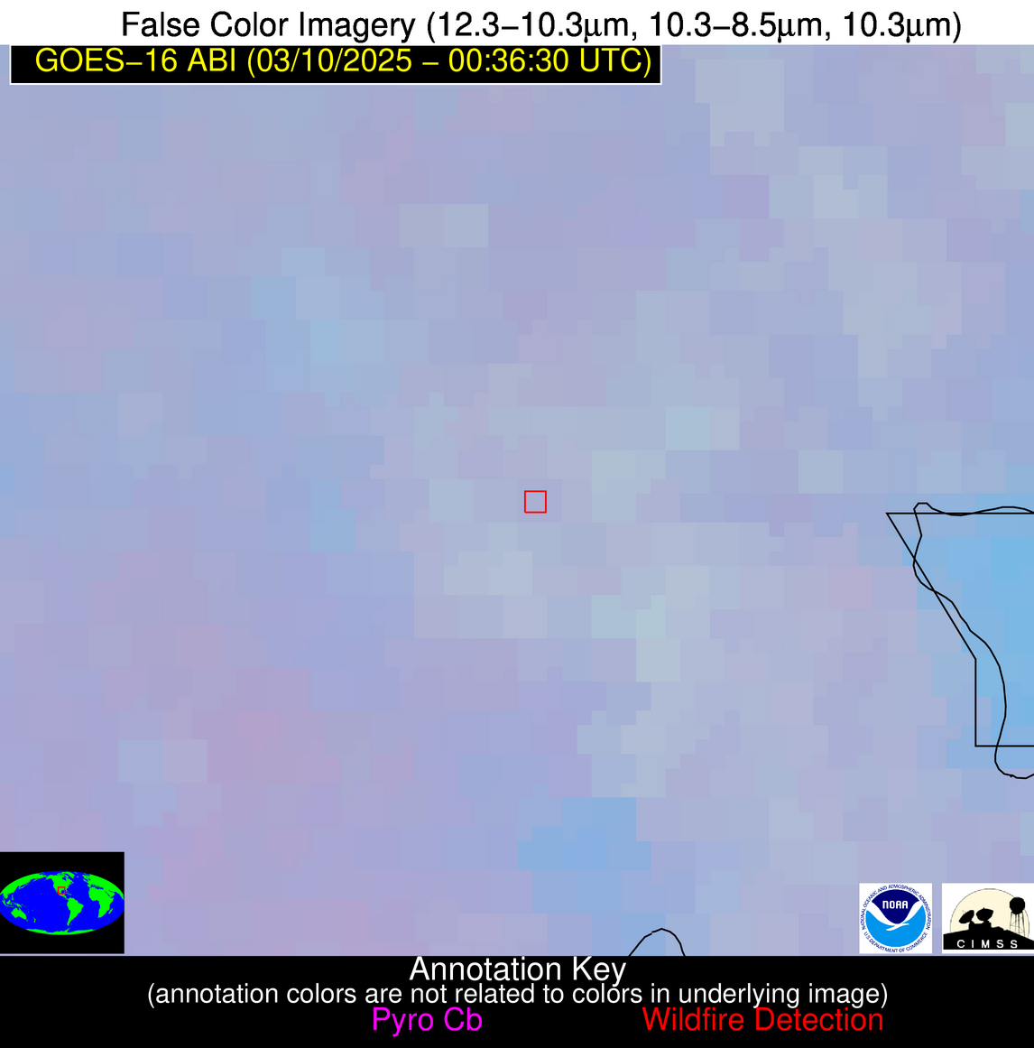
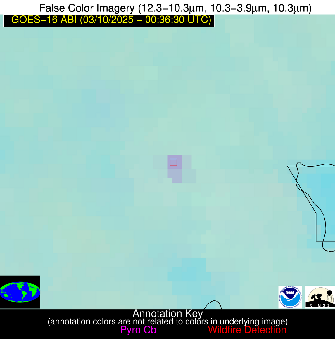
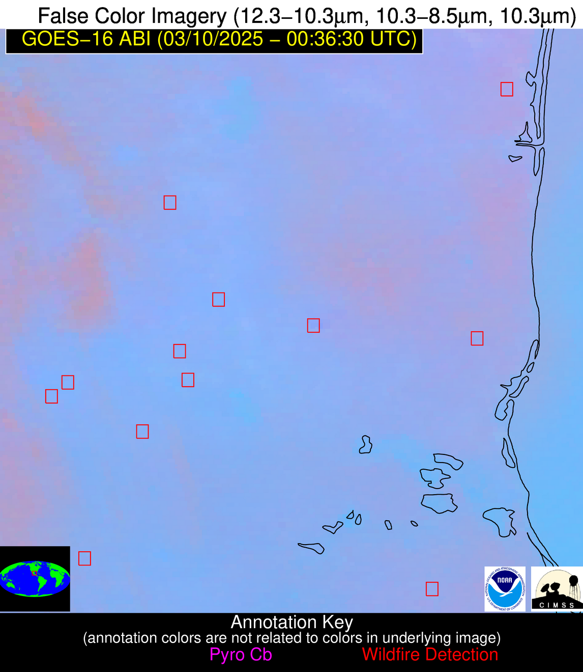
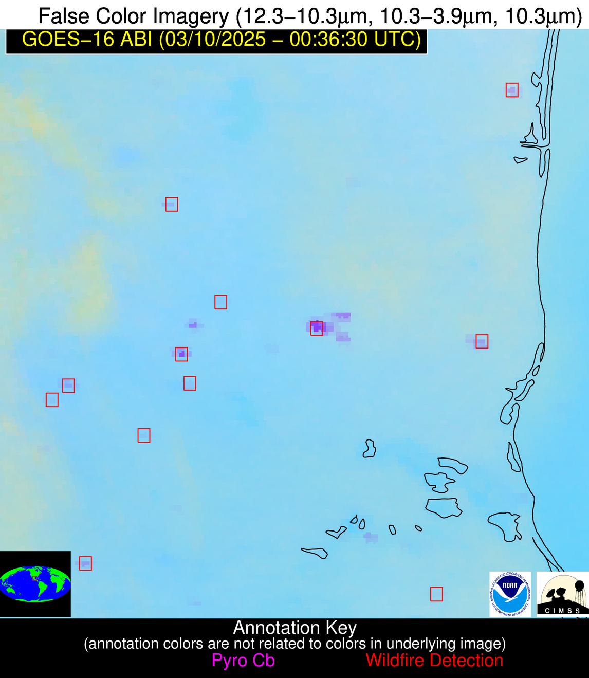
Jan 2026: Due to an ongoing data center cooling system construction project, NGFS data outages may occur with little or no notice. Bitterly cold air in Madison Jan 22-24 increases risk of outages.
Wildfire Alert Report
| Date: | 2025-03-10 |
|---|---|
| Time: | 00:36:17 |
| Production Date and Time: | 2025-03-10 00:41:18 UTC |
| Primary Instrument: | GOES-16 ABI |
| Wmo Spacecraft Id: | 152 |
| Location/orbit: | GEO |
| L1 File: | OR_ABI-L1b-RadC-M6C14_G16_s20250690036173_e20250690038546_c20250690039037.nc |
| L1 File(s) - Temporal | OR_ABI-L1b-RadC-M6C14_G16_s20250690031173_e20250690033546_c20250690034044.nc |
| Number Of Thermal Anomaly Alerts: | 6 |
Possible Wildfire
| Basic Information | |
|---|---|
| State/Province(s) | KS |
| Country/Countries | United States |
| County/Locality(s) | Cowley County, KS |
| NWS WFO | Wichita KS |
| Identification Method | Enhanced Contextual (Clear) |
| Mean Object Date/Time | 2025-03-10 00:36:50UTC |
| Radiative Center (Lat, Lon): | 37.453335°, -96.888611° |
| Nearby Counties (meeting alert criteria): |
|
| Total Radiative Power Anomaly | n/a |
| Total Radiative Power | 34.25 MW |
| Map: | |
| Additional Information | |
| Alert Status | New Feature |
| Type of Event | Elevated SPC Risk |
| Event Priority Ranking | 3 |
| Maximum Observed BT (3.9 um) | 283.11 K |
| Observed - Background BT (3.9 um) | 6.78 K |
| BT Anomaly (3.9 um) | 7.97 K |
| Maximum Observed - Clear RTM BT (3.9 um) | 2.83 K |
| Maximum Observed BTD (3.9-10/11/12 um) | 6.92 K |
| Observed - Background BTD (3.9-10/11/12 um) | 6.96 K |
| BTD Anomaly (3.9-10/11/12 um) | 9.09 K |
| Similar Pixel Count | 3 |
| BT Time Tendency (3.9 um) | 6.30 K |
| Image Interval | 5.00 minutes |
| Fraction of Surrounding LWIR Pixels that are Colder | 0.37 |
| Fraction of Surrounding Red Channel Pixels that are Brighter | 1.00 |
| Maximum Radiative Power | 13.26 MW |
| Maximum Radiative Power Uncertainty | 0.00 MW |
| Total Radiative Power Uncertainty | 0.00 MW |
| Mean Viewing Angle | 49.30° |
| Mean Solar Zenith Angle | 92.40° |
| Mean Glint Angle | 70.00° |
| Water Fraction | 0.00 |
| Total Pixel Area | 18.40 km2 |
| Latest Satellite Imagery: | |
| View all event imagery » | |
Possible Wildfire
| Basic Information | |
|---|---|
| State/Province(s) | OK |
| Country/Countries | United States |
| County/Locality(s) | Caddo County, OK |
| NWS WFO | Norman OK |
| Identification Method | Enhanced Contextual (Clear) |
| Mean Object Date/Time | 2025-03-10 00:37:20UTC |
| Radiative Center (Lat, Lon): | 34.877224°, -98.288330° |
| Nearby Counties (meeting alert criteria): |
|
| Total Radiative Power Anomaly | n/a |
| Total Radiative Power | 6.60 MW |
| Map: | |
| Additional Information | |
| Alert Status | New Feature |
| Type of Event | Elevated SPC Risk |
| Event Priority Ranking | 3 |
| Maximum Observed BT (3.9 um) | 282.40 K |
| Observed - Background BT (3.9 um) | 4.17 K |
| BT Anomaly (3.9 um) | 10.75 K |
| Maximum Observed - Clear RTM BT (3.9 um) | 3.50 K |
| Maximum Observed BTD (3.9-10/11/12 um) | 4.16 K |
| Observed - Background BTD (3.9-10/11/12 um) | 4.48 K |
| BTD Anomaly (3.9-10/11/12 um) | 30.30 K |
| Similar Pixel Count | 1 |
| BT Time Tendency (3.9 um) | 3.10 K |
| Image Interval | 5.00 minutes |
| Fraction of Surrounding LWIR Pixels that are Colder | 0.24 |
| Fraction of Surrounding Red Channel Pixels that are Brighter | 1.00 |
| Maximum Radiative Power | 6.60 MW |
| Maximum Radiative Power Uncertainty | 0.00 MW |
| Total Radiative Power Uncertainty | 0.00 MW |
| Mean Viewing Angle | 47.60° |
| Mean Solar Zenith Angle | 91.10° |
| Mean Glint Angle | 67.90° |
| Water Fraction | 0.00 |
| Total Pixel Area | 5.90 km2 |
| Latest Satellite Imagery: | |
| View all event imagery » | |
Possible Wildfire
| Basic Information | |
|---|---|
| State/Province(s) | OK |
| Country/Countries | United States |
| County/Locality(s) | Pontotoc County, OK |
| NWS WFO | Norman OK |
| Identification Method | Enhanced Contextual (Clear) |
| Mean Object Date/Time | 2025-03-10 00:37:20UTC |
| Radiative Center (Lat, Lon): | 34.661945°, -96.563332° |
| Nearby Counties (meeting alert criteria): |
|
| Total Radiative Power Anomaly | n/a |
| Total Radiative Power | 3.25 MW |
| Map: | |
| Additional Information | |
| Alert Status | New Feature |
| Type of Event | Elevated SPC Risk |
| Event Priority Ranking | 3 |
| Maximum Observed BT (3.9 um) | 280.99 K |
| Observed - Background BT (3.9 um) | 2.18 K |
| BT Anomaly (3.9 um) | 5.62 K |
| Maximum Observed - Clear RTM BT (3.9 um) | 1.83 K |
| Maximum Observed BTD (3.9-10/11/12 um) | 2.15 K |
| Observed - Background BTD (3.9-10/11/12 um) | 2.26 K |
| BTD Anomaly (3.9-10/11/12 um) | 15.09 K |
| Similar Pixel Count | 1 |
| BT Time Tendency (3.9 um) | 0.30 K |
| Image Interval | 5.00 minutes |
| Fraction of Surrounding LWIR Pixels that are Colder | 0.34 |
| Fraction of Surrounding Red Channel Pixels that are Brighter | 1.00 |
| Maximum Radiative Power | 3.25 MW |
| Maximum Radiative Power Uncertainty | 0.00 MW |
| Total Radiative Power Uncertainty | 0.00 MW |
| Mean Viewing Angle | 46.50° |
| Mean Solar Zenith Angle | 92.50° |
| Mean Glint Angle | 70.20° |
| Water Fraction | 0.00 |
| Total Pixel Area | 5.80 km2 |
| Latest Satellite Imagery: | |
| View all event imagery » | |
Possible Wildfire
| Basic Information | |
|---|---|
| State/Province(s) | TX |
| Country/Countries | United States |
| County/Locality(s) | Victoria County, TX |
| NWS WFO | Corpus Christi TX |
| Identification Method | Enhanced Contextual (Clear) |
| Mean Object Date/Time | 2025-03-10 00:37:50UTC |
| Radiative Center (Lat, Lon): | 28.723612°, -96.864998° |
| Nearby Counties (meeting alert criteria): |
|
| Total Radiative Power Anomaly | n/a |
| Total Radiative Power | 21.81 MW |
| Map: | |
| Additional Information | |
| Alert Status | New Feature |
| Type of Event | Nominal Risk |
| Event Priority Ranking | 4 |
| Maximum Observed BT (3.9 um) | 291.50 K |
| Observed - Background BT (3.9 um) | 7.13 K |
| BT Anomaly (3.9 um) | 13.09 K |
| Maximum Observed - Clear RTM BT (3.9 um) | 7.54 K |
| Maximum Observed BTD (3.9-10/11/12 um) | 7.91 K |
| Observed - Background BTD (3.9-10/11/12 um) | 7.25 K |
| BTD Anomaly (3.9-10/11/12 um) | 18.82 K |
| Similar Pixel Count | 1 |
| BT Time Tendency (3.9 um) | 2.40 K |
| Image Interval | 5.00 minutes |
| Fraction of Surrounding LWIR Pixels that are Colder | 0.37 |
| Fraction of Surrounding Red Channel Pixels that are Brighter | 1.00 |
| Maximum Radiative Power | 21.81 MW |
| Maximum Radiative Power Uncertainty | 0.00 MW |
| Total Radiative Power Uncertainty | 0.00 MW |
| Mean Viewing Angle | 41.30° |
| Mean Solar Zenith Angle | 91.80° |
| Mean Glint Angle | 69.10° |
| Water Fraction | 0.00 |
| Total Pixel Area | 10.60 km2 |
| Latest Satellite Imagery: | |
| View all event imagery » | |
Possible Wildfire
| Basic Information | |
|---|---|
| State/Province(s) | Tamaulipas |
| Country/Countries | Mexico |
| County/Locality(s) | Soto la Marina, Tamaulipas |
| NWS WFO | N/A |
| Identification Method | Enhanced Contextual (Clear) |
| Mean Object Date/Time | 2025-03-10 00:38:19UTC |
| Radiative Center (Lat, Lon): | 24.024445°, -97.850281° |
| Nearby Counties (meeting alert criteria): |
|
| Total Radiative Power Anomaly | n/a |
| Total Radiative Power | 15.13 MW |
| Map: | |
| Additional Information | |
| Alert Status | New Feature |
| Type of Event | Nominal Risk |
| Event Priority Ranking | 4 |
| Maximum Observed BT (3.9 um) | 296.50 K |
| Observed - Background BT (3.9 um) | 6.80 K |
| BT Anomaly (3.9 um) | 8.91 K |
| Maximum Observed - Clear RTM BT (3.9 um) | 4.50 K |
| Maximum Observed BTD (3.9-10/11/12 um) | 8.12 K |
| Observed - Background BTD (3.9-10/11/12 um) | 7.12 K |
| BTD Anomaly (3.9-10/11/12 um) | 24.06 K |
| Similar Pixel Count | 1 |
| BT Time Tendency (3.9 um) | 2.20 K |
| Image Interval | 5.00 minutes |
| Fraction of Surrounding LWIR Pixels that are Colder | 0.25 |
| Fraction of Surrounding Red Channel Pixels that are Brighter | 1.00 |
| Maximum Radiative Power | 15.13 MW |
| Maximum Radiative Power Uncertainty | 0.00 MW |
| Total Radiative Power Uncertainty | 0.00 MW |
| Mean Viewing Angle | 38.00° |
| Mean Solar Zenith Angle | 90.60° |
| Mean Glint Angle | 66.70° |
| Water Fraction | 0.00 |
| Total Pixel Area | 5.10 km2 |
| Latest Satellite Imagery: | |
| View all event imagery » | |
Possible Wildfire
| Basic Information | |
|---|---|
| State/Province(s) | San Luis Potosí |
| Country/Countries | Mexico |
| County/Locality(s) | Ciudad Valles, San Luis Potosí |
| NWS WFO | N/A |
| Identification Method | Enhanced Contextual (Clear) |
| Mean Object Date/Time | 2025-03-10 00:38:19UTC |
| Radiative Center (Lat, Lon): | 21.978333°, -99.278610° |
| Nearby Counties (meeting alert criteria): |
|
| Total Radiative Power Anomaly | n/a |
| Total Radiative Power | 15.26 MW |
| Map: | |
| Additional Information | |
| Alert Status | New Feature |
| Type of Event | Nominal Risk |
| Event Priority Ranking | 4 |
| Maximum Observed BT (3.9 um) | 298.22 K |
| Observed - Background BT (3.9 um) | 7.46 K |
| BT Anomaly (3.9 um) | 7.94 K |
| Maximum Observed - Clear RTM BT (3.9 um) | 6.52 K |
| Maximum Observed BTD (3.9-10/11/12 um) | 9.47 K |
| Observed - Background BTD (3.9-10/11/12 um) | 6.87 K |
| BTD Anomaly (3.9-10/11/12 um) | 32.88 K |
| Similar Pixel Count | 1 |
| BT Time Tendency (3.9 um) | 6.50 K |
| Image Interval | 5.00 minutes |
| Fraction of Surrounding LWIR Pixels that are Colder | 0.81 |
| Fraction of Surrounding Red Channel Pixels that are Brighter | 1.00 |
| Maximum Radiative Power | 15.26 MW |
| Maximum Radiative Power Uncertainty | 0.00 MW |
| Total Radiative Power Uncertainty | 0.00 MW |
| Mean Viewing Angle | 37.60° |
| Mean Solar Zenith Angle | 89.10° |
| Mean Glint Angle | 63.80° |
| Water Fraction | 0.00 |
| Total Pixel Area | 5.00 km2 |
| Latest Satellite Imagery: | |
| View all event imagery » | |
