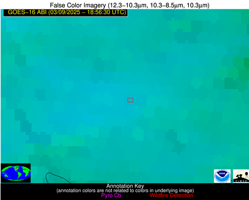
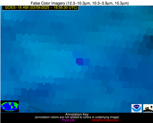
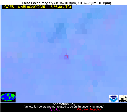
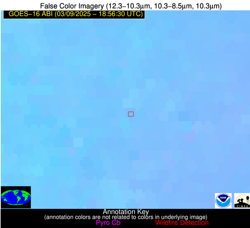
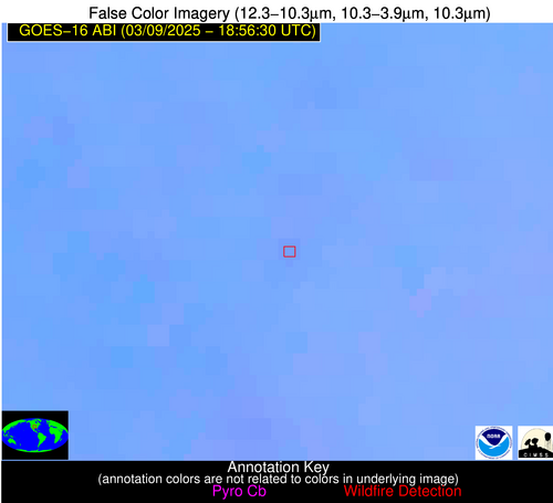
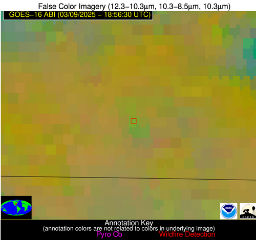
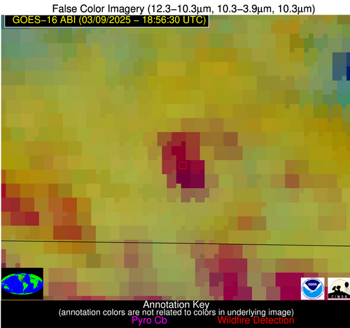
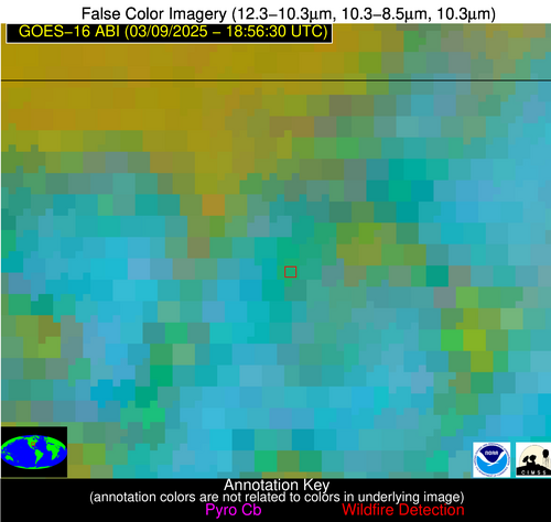
Wildfire Alert Report
| Date: | 2025-03-09 |
|---|---|
| Time: | 18:56:17 |
| Production Date and Time: | 2025-03-09 19:01:52 UTC |
| Primary Instrument: | GOES-16 ABI |
| Wmo Spacecraft Id: | 152 |
| Location/orbit: | GEO |
| L1 File: | OR_ABI-L1b-RadC-M6C14_G16_s20250681856173_e20250681858546_c20250681859050.nc |
| L1 File(s) - Temporal | OR_ABI-L1b-RadC-M6C14_G16_s20250681851173_e20250681853546_c20250681854032.nc |
| Number Of Thermal Anomaly Alerts: | 9 |
Possible Wildfire
| Basic Information | |
|---|---|
| State/Province(s) | ND |
| Country/Countries | United States |
| County/Locality(s) | Burleigh County, ND |
| NWS WFO | Bismarck ND |
| Identification Method | Enhanced Contextual (Cloud) |
| Mean Object Date/Time | 2025-03-09 18:56:20UTC |
| Radiative Center (Lat, Lon): | 46.931110°, -100.563889° |
| Nearby Counties (meeting alert criteria): |
|
| Total Radiative Power Anomaly | n/a |
| Total Radiative Power | 45.89 MW |
| Map: | |
| Additional Information | |
| Alert Status | New Feature |
| Type of Event | Nominal Risk |
| Event Priority Ranking | 4 |
| Maximum Observed BT (3.9 um) | 304.61 K |
| Observed - Background BT (3.9 um) | 11.11 K |
| BT Anomaly (3.9 um) | 16.13 K |
| Maximum Observed - Clear RTM BT (3.9 um) | 20.78 K |
| Maximum Observed BTD (3.9-10/11/12 um) | 29.36 K |
| Observed - Background BTD (3.9-10/11/12 um) | 10.54 K |
| BTD Anomaly (3.9-10/11/12 um) | 11.25 K |
| Similar Pixel Count | 0 |
| BT Time Tendency (3.9 um) | 10.00 K |
| Image Interval | 5.00 minutes |
| Fraction of Surrounding LWIR Pixels that are Colder | 0.95 |
| Fraction of Surrounding Red Channel Pixels that are Brighter | 1.00 |
| Maximum Radiative Power | 45.89 MW |
| Maximum Radiative Power Uncertainty | 0.00 MW |
| Total Radiative Power Uncertainty | 0.00 MW |
| Mean Viewing Angle | 59.70° |
| Mean Solar Zenith Angle | 51.90° |
| Mean Glint Angle | 104.60° |
| Water Fraction | 0.00 |
| Total Pixel Area | 7.90 km2 |
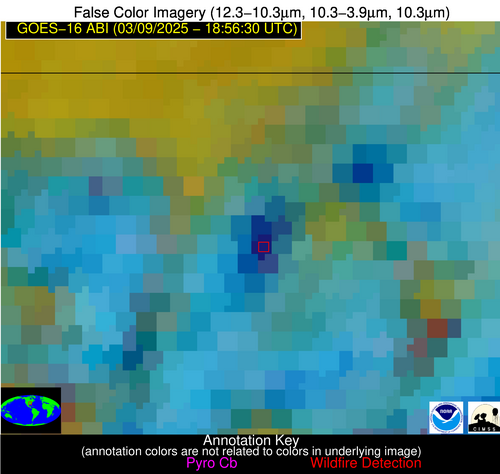
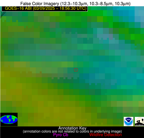
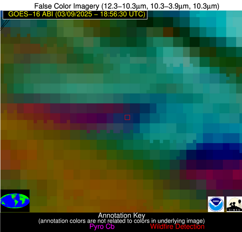
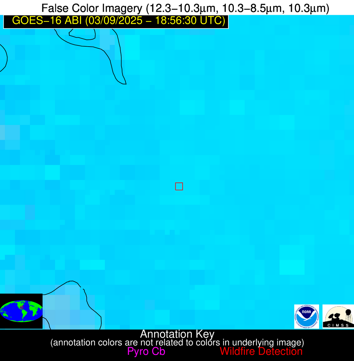
| Latest Satellite Imagery: | |
| View all event imagery » | |
Possible Wildfire
| Basic Information | |
|---|---|
| State/Province(s) | MO |
| Country/Countries | United States |
| County/Locality(s) | Saline County, MO |
| NWS WFO | Kansas City/Pleasant Hill MO |
| Identification Method | Enhanced Contextual (Clear) |
| Mean Object Date/Time | 2025-03-09 18:56:50UTC |
| Radiative Center (Lat, Lon): | 39.287498°, -93.049721° |
| Nearby Counties (meeting alert criteria): |
|
| Total Radiative Power Anomaly | n/a |
| Total Radiative Power | 19.79 MW |
| Map: | |
| Additional Information | |
| Alert Status | New Feature |
| Type of Event | Elevated SPC Risk |
| Event Priority Ranking | 3 |
| Maximum Observed BT (3.9 um) | 307.24 K |
| Observed - Background BT (3.9 um) | 6.31 K |
| BT Anomaly (3.9 um) | 6.04 K |
| Maximum Observed - Clear RTM BT (3.9 um) | 22.23 K |
| Maximum Observed BTD (3.9-10/11/12 um) | 14.03 K |
| Observed - Background BTD (3.9-10/11/12 um) | 5.64 K |
| BTD Anomaly (3.9-10/11/12 um) | 10.75 K |
| Similar Pixel Count | 5 |
| BT Time Tendency (3.9 um) | 5.60 K |
| Image Interval | 5.00 minutes |
| Fraction of Surrounding LWIR Pixels that are Colder | 0.84 |
| Fraction of Surrounding Red Channel Pixels that are Brighter | 1.00 |
| Maximum Radiative Power | 19.79 MW |
| Maximum Radiative Power Uncertainty | 0.00 MW |
| Total Radiative Power Uncertainty | 0.00 MW |
| Mean Viewing Angle | 49.30° |
| Mean Solar Zenith Angle | 44.90° |
| Mean Glint Angle | 87.50° |
| Water Fraction | 0.00 |
| Total Pixel Area | 6.10 km2 |
| Latest Satellite Imagery: | |
| View all event imagery » | |
Possible Wildfire
| Basic Information | |
|---|---|
| State/Province(s) | KS |
| Country/Countries | United States |
| County/Locality(s) | Cowley County, KS |
| NWS WFO | Wichita KS |
| Identification Method | Enhanced Contextual (Clear) |
| Mean Object Date/Time | 2025-03-09 18:56:50UTC |
| Radiative Center (Lat, Lon): | 37.381390°, -97.020554° |
| Nearby Counties (meeting alert criteria): |
|
| Total Radiative Power Anomaly | n/a |
| Total Radiative Power | 3.29 MW |
| Map: | |
| Additional Information | |
| Alert Status | New Feature |
| Type of Event | Elevated SPC Risk |
| Event Priority Ranking | 3 |
| Maximum Observed BT (3.9 um) | 307.57 K |
| Observed - Background BT (3.9 um) | 2.68 K |
| BT Anomaly (3.9 um) | 2.07 K |
| Maximum Observed - Clear RTM BT (3.9 um) | 17.89 K |
| Maximum Observed BTD (3.9-10/11/12 um) | 10.04 K |
| Observed - Background BTD (3.9-10/11/12 um) | 1.36 K |
| BTD Anomaly (3.9-10/11/12 um) | 2.70 K |
| Similar Pixel Count | 25 |
| BT Time Tendency (3.9 um) | 0.70 K |
| Image Interval | 5.00 minutes |
| Fraction of Surrounding LWIR Pixels that are Colder | 0.94 |
| Fraction of Surrounding Red Channel Pixels that are Brighter | 0.77 |
| Maximum Radiative Power | 3.29 MW |
| Maximum Radiative Power Uncertainty | 0.00 MW |
| Total Radiative Power Uncertainty | 0.00 MW |
| Mean Viewing Angle | 49.20° |
| Mean Solar Zenith Angle | 42.50° |
| Mean Glint Angle | 85.00° |
| Water Fraction | 0.00 |
| Total Pixel Area | 6.10 km2 |
| Latest Satellite Imagery: | |
| View all event imagery » | |
Possible Wildfire
| Basic Information | |
|---|---|
| State/Province(s) | TN |
| Country/Countries | United States |
| County/Locality(s) | Giles County, TN |
| NWS WFO | Nashville TN |
| Identification Method | Enhanced Contextual (Cloud) |
| Mean Object Date/Time | 2025-03-09 18:57:21UTC |
| Radiative Center (Lat, Lon): | 35.139168°, -87.023613° |
| Nearby Counties (meeting alert criteria): |
|
| Total Radiative Power Anomaly | n/a |
| Total Radiative Power | 369.53 MW |
| Map: | |
| Additional Information | |
| Alert Status | New Feature |
| Type of Event | Elevated SPC Risk |
| Event Priority Ranking | 3 |
| Maximum Observed BT (3.9 um) | 292.51 K |
| Observed - Background BT (3.9 um) | 31.56 K |
| BT Anomaly (3.9 um) | 10.56 K |
| Maximum Observed - Clear RTM BT (3.9 um) | 10.68 K |
| Maximum Observed BTD (3.9-10/11/12 um) | 42.13 K |
| Observed - Background BTD (3.9-10/11/12 um) | 31.76 K |
| BTD Anomaly (3.9-10/11/12 um) | 11.97 K |
| Similar Pixel Count | 0 |
| BT Time Tendency (3.9 um) | 34.30 K |
| Image Interval | 5.00 minutes |
| Fraction of Surrounding LWIR Pixels that are Colder | 0.27 |
| Fraction of Surrounding Red Channel Pixels that are Brighter | 1.00 |
| Maximum Radiative Power | 369.53 MW |
| Maximum Radiative Power Uncertainty | 0.00 MW |
| Total Radiative Power Uncertainty | 0.00 MW |
| Mean Viewing Angle | 42.90° |
| Mean Solar Zenith Angle | 42.30° |
| Mean Glint Angle | 78.60° |
| Water Fraction | 0.00 |
| Total Pixel Area | 5.50 km2 |
| Latest Satellite Imagery: | |
| View all event imagery » | |
Possible Wildfire
| Basic Information | |
|---|---|
| State/Province(s) | MS |
| Country/Countries | United States |
| County/Locality(s) | Marshall County, MS |
| NWS WFO | Memphis TN |
| Identification Method | Enhanced Contextual (Clear) |
| Mean Object Date/Time | 2025-03-09 18:57:21UTC |
| Radiative Center (Lat, Lon): | 34.775833°, -89.368057° |
| Nearby Counties (meeting alert criteria): |
|
| Total Radiative Power Anomaly | n/a |
| Total Radiative Power | 82.91 MW |
| Map: | |
| Additional Information | |
| Alert Status | New Feature |
| Type of Event | Elevated SPC Risk |
| Event Priority Ranking | 3 |
| Maximum Observed BT (3.9 um) | 292.34 K |
| Observed - Background BT (3.9 um) | 15.37 K |
| BT Anomaly (3.9 um) | 5.98 K |
| Maximum Observed - Clear RTM BT (3.9 um) | 10.40 K |
| Maximum Observed BTD (3.9-10/11/12 um) | 30.64 K |
| Observed - Background BTD (3.9-10/11/12 um) | 14.97 K |
| BTD Anomaly (3.9-10/11/12 um) | 6.13 K |
| Similar Pixel Count | 5 |
| BT Time Tendency (3.9 um) | 13.10 K |
| Image Interval | 5.00 minutes |
| Fraction of Surrounding LWIR Pixels that are Colder | 0.34 |
| Fraction of Surrounding Red Channel Pixels that are Brighter | 1.00 |
| Maximum Radiative Power | 52.40 MW |
| Maximum Radiative Power Uncertainty | 0.00 MW |
| Total Radiative Power Uncertainty | 0.00 MW |
| Mean Viewing Angle | 43.30° |
| Mean Solar Zenith Angle | 41.30° |
| Mean Glint Angle | 77.90° |
| Water Fraction | 0.00 |
| Total Pixel Area | 11.00 km2 |
| Latest Satellite Imagery: | |
| View all event imagery » | |
Possible Wildfire
| Basic Information | |
|---|---|
| State/Province(s) | Unknown |
| Country/Countries | Unknown |
| County/Locality(s) | Unknown, Unknown |
| NWS WFO | N/A |
| Identification Method | Enhanced Contextual (Cloud) |
| Mean Object Date/Time | 2025-03-09 18:57:22UTC |
| Radiative Center (Lat, Lon): | 33.318054°, -78.708054° |
| Nearby Counties (meeting alert criteria): |
|
| Total Radiative Power Anomaly | n/a |
| Total Radiative Power | 41.91 MW |
| Map: | |
| Additional Information | |
| Alert Status | New Feature |
| Type of Event | Nominal Risk |
| Event Priority Ranking | 4 |
| Maximum Observed BT (3.9 um) | 285.36 K |
| Observed - Background BT (3.9 um) | 11.02 K |
| BT Anomaly (3.9 um) | 9.92 K |
| Maximum Observed - Clear RTM BT (3.9 um) | -0.21 K |
| Maximum Observed BTD (3.9-10/11/12 um) | 28.91 K |
| Observed - Background BTD (3.9-10/11/12 um) | 11.19 K |
| BTD Anomaly (3.9-10/11/12 um) | 10.09 K |
| Similar Pixel Count | 0 |
| BT Time Tendency (3.9 um) | 9.50 K |
| Image Interval | 5.00 minutes |
| Fraction of Surrounding LWIR Pixels that are Colder | 0.60 |
| Fraction of Surrounding Red Channel Pixels that are Brighter | 1.00 |
| Maximum Radiative Power | 41.91 MW |
| Maximum Radiative Power Uncertainty | 0.00 MW |
| Total Radiative Power Uncertainty | 0.00 MW |
| Mean Viewing Angle | 39.10° |
| Mean Solar Zenith Angle | 43.90° |
| Mean Glint Angle | 77.00° |
| Water Fraction | 1.00 |
| Total Pixel Area | 5.20 km2 |
| Latest Satellite Imagery: | |
| View all event imagery » | |
Possible Wildfire
| Basic Information | |
|---|---|
| State/Province(s) | FL |
| Country/Countries | United States |
| County/Locality(s) | Okeechobee County, FL |
| NWS WFO | Melbourne FL |
| Identification Method | Enhanced Contextual (Clear) |
| Mean Object Date/Time | 2025-03-09 18:57:52UTC |
| Radiative Center (Lat, Lon): | 27.602501°, -81.094444° |
| Nearby Counties (meeting alert criteria): |
|
| Total Radiative Power Anomaly | n/a |
| Total Radiative Power | 99.99 MW |
| Map: | |
| Additional Information | |
| Alert Status | New Feature |
| Type of Event | Nominal Risk |
| Event Priority Ranking | 4 |
| Maximum Observed BT (3.9 um) | 317.60 K |
| Observed - Background BT (3.9 um) | 8.54 K |
| BT Anomaly (3.9 um) | 10.10 K |
| Maximum Observed - Clear RTM BT (3.9 um) | 16.92 K |
| Maximum Observed BTD (3.9-10/11/12 um) | 17.02 K |
| Observed - Background BTD (3.9-10/11/12 um) | 4.53 K |
| BTD Anomaly (3.9-10/11/12 um) | 6.40 K |
| Similar Pixel Count | 25 |
| BT Time Tendency (3.9 um) | -0.70 K |
| Image Interval | 5.00 minutes |
| Fraction of Surrounding LWIR Pixels that are Colder | 1.00 |
| Fraction of Surrounding Red Channel Pixels that are Brighter | 1.00 |
| Maximum Radiative Power | 37.27 MW |
| Maximum Radiative Power Uncertainty | 0.00 MW |
| Total Radiative Power Uncertainty | 0.00 MW |
| Mean Viewing Angle | 33.00° |
| Mean Solar Zenith Angle | 38.00° |
| Mean Glint Angle | 64.50° |
| Water Fraction | 0.00 |
| Total Pixel Area | 14.30 km2 |
| Latest Satellite Imagery: | |
| View all event imagery » | |
Possible Wildfire
| Basic Information | |
|---|---|
| State/Province(s) | Nuevo León |
| Country/Countries | Mexico |
| County/Locality(s) | Linares, Nuevo León |
| NWS WFO | N/A |
| Identification Method | Enhanced Contextual (Clear) |
| Mean Object Date/Time | 2025-03-09 18:58:19UTC |
| Radiative Center (Lat, Lon): | 24.796944°, -99.689720° |
| Nearby Counties (meeting alert criteria): |
|
| Total Radiative Power Anomaly | n/a |
| Total Radiative Power | 21.92 MW |
| Map: | |
| Additional Information | |
| Alert Status | New Feature |
| Type of Event | Nominal Risk |
| Event Priority Ranking | 4 |
| Maximum Observed BT (3.9 um) | 312.79 K |
| Observed - Background BT (3.9 um) | 5.62 K |
| BT Anomaly (3.9 um) | 2.73 K |
| Maximum Observed - Clear RTM BT (3.9 um) | 10.26 K |
| Maximum Observed BTD (3.9-10/11/12 um) | 14.37 K |
| Observed - Background BTD (3.9-10/11/12 um) | 5.84 K |
| BTD Anomaly (3.9-10/11/12 um) | 8.33 K |
| Similar Pixel Count | 2 |
| BT Time Tendency (3.9 um) | 4.80 K |
| Image Interval | 5.00 minutes |
| Fraction of Surrounding LWIR Pixels that are Colder | 0.58 |
| Fraction of Surrounding Red Channel Pixels that are Brighter | 1.00 |
| Maximum Radiative Power | 21.92 MW |
| Maximum Radiative Power Uncertainty | 0.00 MW |
| Total Radiative Power Uncertainty | 0.00 MW |
| Mean Viewing Angle | 40.00° |
| Mean Solar Zenith Angle | 29.80° |
| Mean Glint Angle | 62.50° |
| Water Fraction | 0.00 |
| Total Pixel Area | 5.20 km2 |
| Latest Satellite Imagery: | |
| View all event imagery » | |
Possible Wildfire
| Basic Information | |
|---|---|
| State/Province(s) | Tamaulipas |
| Country/Countries | Mexico |
| County/Locality(s) | Padilla, Tamaulipas |
| NWS WFO | N/A |
| Identification Method | Enhanced Contextual (Clear) |
| Mean Object Date/Time | 2025-03-09 18:58:19UTC |
| Radiative Center (Lat, Lon): | 24.122499°, -99.084167° |
| Nearby Counties (meeting alert criteria): |
|
| Total Radiative Power Anomaly | n/a |
| Total Radiative Power | 18.26 MW |
| Map: | |
| Additional Information | |
| Alert Status | New Feature |
| Type of Event | Nominal Risk |
| Event Priority Ranking | 4 |
| Maximum Observed BT (3.9 um) | 315.91 K |
| Observed - Background BT (3.9 um) | 4.43 K |
| BT Anomaly (3.9 um) | 2.82 K |
| Maximum Observed - Clear RTM BT (3.9 um) | 13.64 K |
| Maximum Observed BTD (3.9-10/11/12 um) | 13.50 K |
| Observed - Background BTD (3.9-10/11/12 um) | 4.27 K |
| BTD Anomaly (3.9-10/11/12 um) | 10.00 K |
| Similar Pixel Count | 9 |
| BT Time Tendency (3.9 um) | 2.60 K |
| Image Interval | 5.00 minutes |
| Fraction of Surrounding LWIR Pixels that are Colder | 0.56 |
| Fraction of Surrounding Red Channel Pixels that are Brighter | 1.00 |
| Maximum Radiative Power | 18.26 MW |
| Maximum Radiative Power Uncertainty | 0.00 MW |
| Total Radiative Power Uncertainty | 0.00 MW |
| Mean Viewing Angle | 39.00° |
| Mean Solar Zenith Angle | 29.20° |
| Mean Glint Angle | 60.70° |
| Water Fraction | 0.00 |
| Total Pixel Area | 5.10 km2 |
| Latest Satellite Imagery: | |
| View all event imagery » | |
