Jan 2026: Due to an ongoing data center cooling system construction project; NGFS data outages may occur with little or no notice.
Wildfire Alert Report
| Date: | 2025-03-09 |
|---|---|
| Time: | 18:45:55 |
| Production Date and Time: | 2025-03-09 18:47:15 UTC |
| Primary Instrument: | GOES-16 ABI |
| Wmo Spacecraft Id: | 152 |
| Location/orbit: | GEO |
| L1 File: | OR_ABI-L1b-RadM2-M6C14_G16_s20250681845552_e20250681846009_c20250681846069.nc |
| L1 File(s) - Temporal | OR_ABI-L1b-RadM2-M6C14_G16_s20250681844552_e20250681845009_c20250681845062.nc |
| Number Of Thermal Anomaly Alerts: | 2 |
Possible Wildfire
| Basic Information | |
|---|---|
| State/Province(s) | KS |
| Country/Countries | United States |
| County/Locality(s) | Jefferson County, KS |
| NWS WFO | Topeka KS |
| Identification Method | Enhanced Contextual (Clear) |
| Mean Object Date/Time | 2025-03-09 18:46:01UTC |
| Radiative Center (Lat, Lon): | 39.181667°, -95.226112° |
| Nearby Counties (meeting alert criteria): |
|
| Total Radiative Power Anomaly | n/a |
| Total Radiative Power | 11.00 MW |
| Map: | |
| Additional Information | |
| Alert Status | New Feature |
| Type of Event | Elevated SPC Risk |
| Event Priority Ranking | 3 |
| Maximum Observed BT (3.9 um) | 303.58 K |
| Observed - Background BT (3.9 um) | 2.89 K |
| BT Anomaly (3.9 um) | 2.79 K |
| Maximum Observed - Clear RTM BT (3.9 um) | 17.35 K |
| Maximum Observed BTD (3.9-10/11/12 um) | 11.16 K |
| Observed - Background BTD (3.9-10/11/12 um) | 3.03 K |
| BTD Anomaly (3.9-10/11/12 um) | 5.24 K |
| Similar Pixel Count | 24 |
| BT Time Tendency (3.9 um) | 2.10 K |
| Image Interval | 1.00 minutes |
| Fraction of Surrounding LWIR Pixels that are Colder | 0.34 |
| Fraction of Surrounding Red Channel Pixels that are Brighter | 1.00 |
| Maximum Radiative Power | 11.00 MW |
| Maximum Radiative Power Uncertainty | 0.00 MW |
| Total Radiative Power Uncertainty | 0.00 MW |
| Mean Viewing Angle | 50.10° |
| Mean Solar Zenith Angle | 44.30° |
| Mean Glint Angle | 88.80° |
| Water Fraction | 0.00 |
| Total Pixel Area | 6.20 km2 |
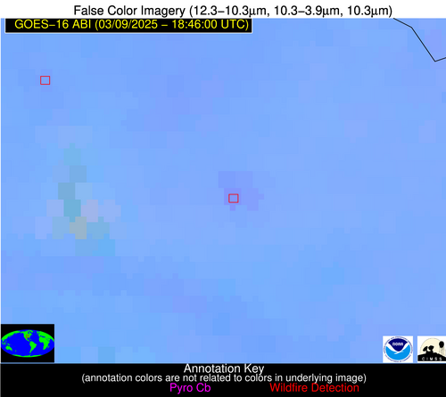
| Latest Satellite Imagery: | |
| View all event imagery » | |
Possible Wildfire
| Basic Information | |
|---|---|
| State/Province(s) | OK |
| Country/Countries | United States |
| County/Locality(s) | Roger Mills County, OK |
| NWS WFO | Norman OK |
| Identification Method | Enhanced Contextual (Clear) |
| Mean Object Date/Time | 2025-03-09 18:45:59UTC |
| Radiative Center (Lat, Lon): | 35.745277°, -99.966393° |
| Nearby Counties (meeting alert criteria): |
|
| Total Radiative Power Anomaly | n/a |
| Total Radiative Power | 9.04 MW |
| Map: | |
| Additional Information | |
| Alert Status | New Feature |
| Type of Event | Elevated SPC Risk |
| Event Priority Ranking | 3 |
| Maximum Observed BT (3.9 um) | 306.64 K |
| Observed - Background BT (3.9 um) | 2.47 K |
| BT Anomaly (3.9 um) | 1.03 K |
| Maximum Observed - Clear RTM BT (3.9 um) | 24.85 K |
| Maximum Observed BTD (3.9-10/11/12 um) | 11.36 K |
| Observed - Background BTD (3.9-10/11/12 um) | 2.36 K |
| BTD Anomaly (3.9-10/11/12 um) | 2.86 K |
| Similar Pixel Count | 25 |
| BT Time Tendency (3.9 um) | 0.90 K |
| Image Interval | 1.00 minutes |
| Fraction of Surrounding LWIR Pixels that are Colder | 0.45 |
| Fraction of Surrounding Red Channel Pixels that are Brighter | 1.00 |
| Maximum Radiative Power | 9.04 MW |
| Maximum Radiative Power Uncertainty | 0.00 MW |
| Total Radiative Power Uncertainty | 0.00 MW |
| Mean Viewing Angle | 49.30° |
| Mean Solar Zenith Angle | 40.70° |
| Mean Glint Angle | 84.50° |
| Water Fraction | 0.00 |
| Total Pixel Area | 6.10 km2 |
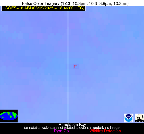
| Latest Satellite Imagery: | |
| View all event imagery » | |


