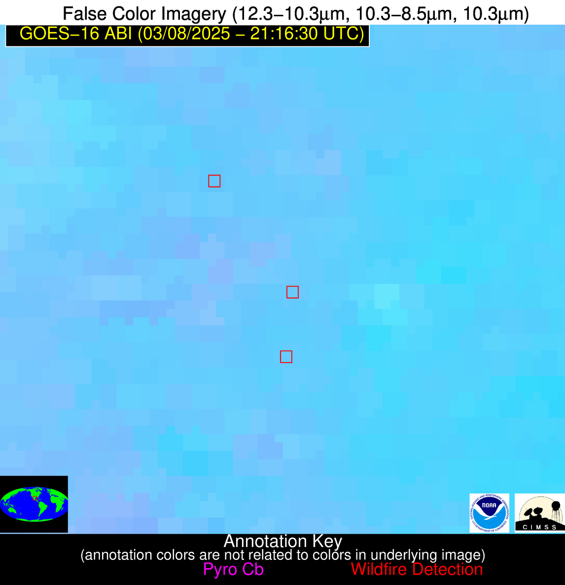
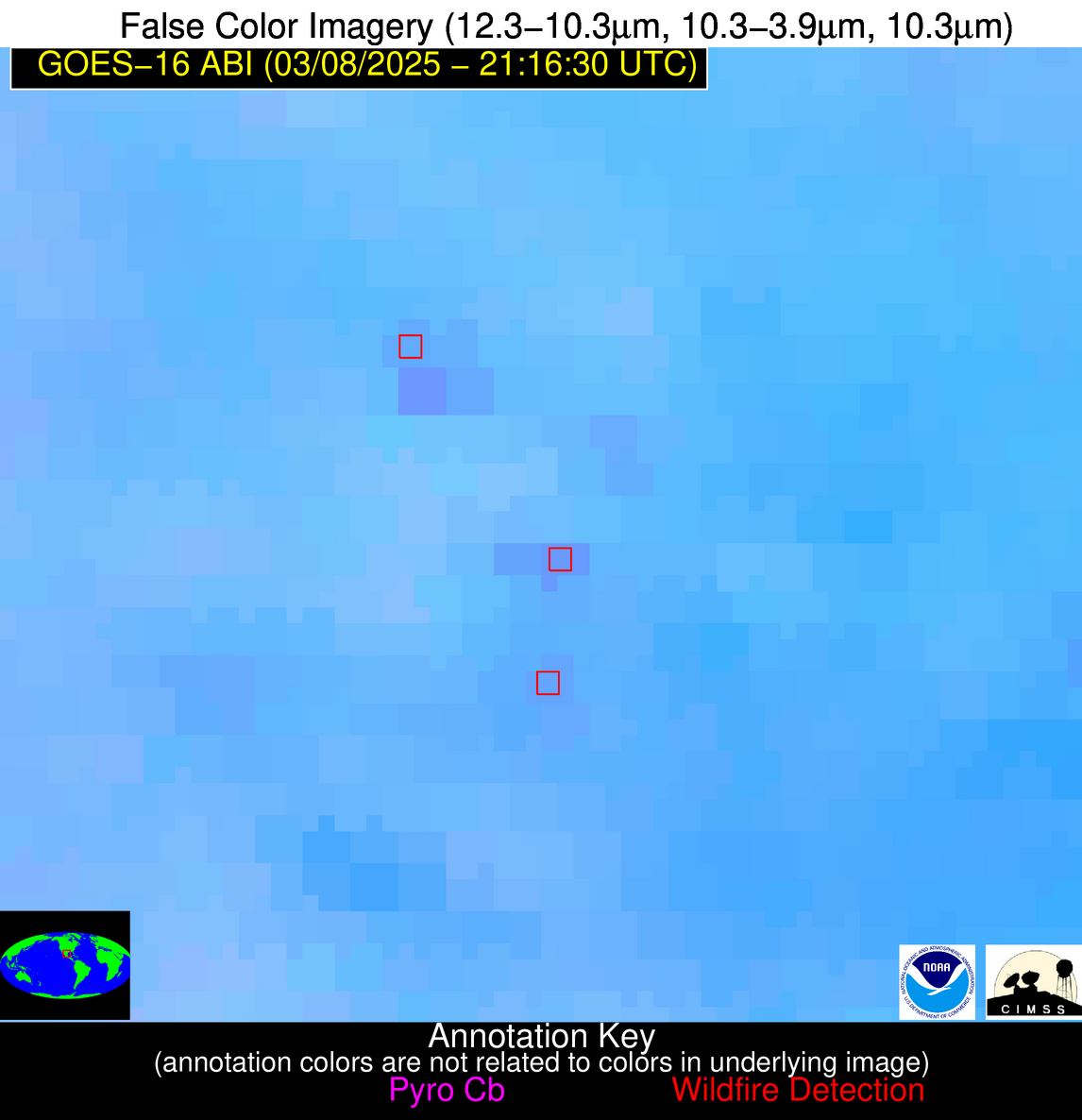
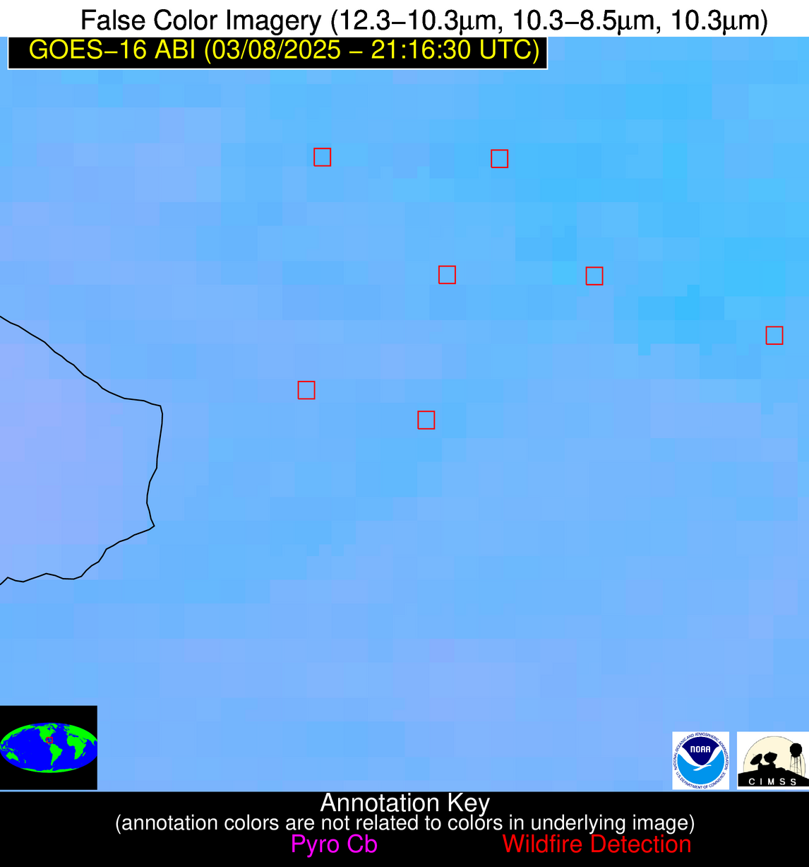
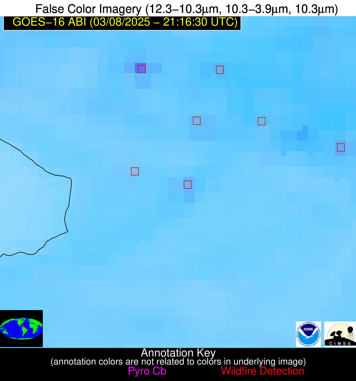
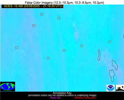
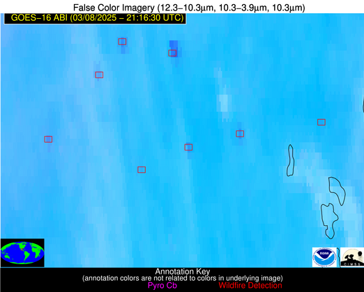
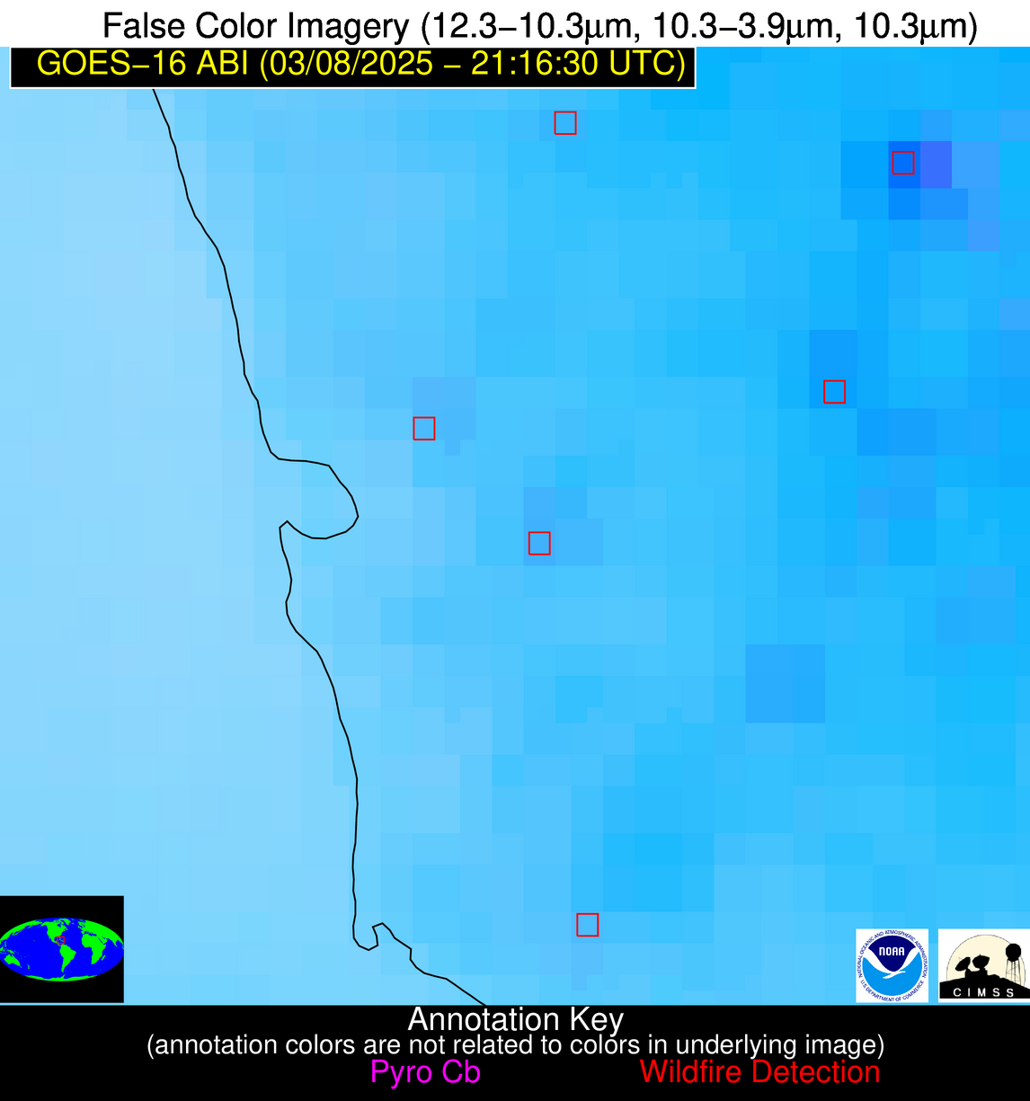
Wildfire Alert Report
| Date: | 2025-03-08 |
|---|---|
| Time: | 21:16:17 |
| Production Date and Time: | 2025-03-08 21:21:10 UTC |
| Primary Instrument: | GOES-16 ABI |
| Wmo Spacecraft Id: | 152 |
| Location/orbit: | GEO |
| L1 File: | OR_ABI-L1b-RadC-M6C14_G16_s20250672116173_e20250672118546_c20250672119033.nc |
| L1 File(s) - Temporal | OR_ABI-L1b-RadC-M6C14_G16_s20250672111173_e20250672113545_c20250672114037.nc |
| Number Of Thermal Anomaly Alerts: | 11 |
Possible Wildfire
| Basic Information | |
|---|---|
| State/Province(s) | KS |
| Country/Countries | United States |
| County/Locality(s) | Doniphan County, KS |
| NWS WFO | Kansas City/Pleasant Hill MO |
| Identification Method | Enhanced Contextual (Clear) |
| Mean Object Date/Time | 2025-03-08 21:16:50UTC |
| Radiative Center (Lat, Lon): | 39.802502°, -95.176666° |
| Nearby Counties (meeting alert criteria): |
|
| Total Radiative Power Anomaly | n/a |
| Total Radiative Power | 4.91 MW |
| Map: | |
| Additional Information | |
| Alert Status | New Feature |
| Type of Event | Nominal Risk |
| Event Priority Ranking | 4 |
| Maximum Observed BT (3.9 um) | 294.37 K |
| Observed - Background BT (3.9 um) | 2.26 K |
| BT Anomaly (3.9 um) | 2.49 K |
| Maximum Observed - Clear RTM BT (3.9 um) | 14.74 K |
| Maximum Observed BTD (3.9-10/11/12 um) | 8.40 K |
| Observed - Background BTD (3.9-10/11/12 um) | 2.13 K |
| BTD Anomaly (3.9-10/11/12 um) | 3.84 K |
| Similar Pixel Count | 23 |
| BT Time Tendency (3.9 um) | 1.40 K |
| Image Interval | 5.00 minutes |
| Fraction of Surrounding LWIR Pixels that are Colder | 0.56 |
| Fraction of Surrounding Red Channel Pixels that are Brighter | 1.00 |
| Maximum Radiative Power | 4.91 MW |
| Maximum Radiative Power Uncertainty | 0.00 MW |
| Total Radiative Power Uncertainty | 0.00 MW |
| Mean Viewing Angle | 50.70° |
| Mean Solar Zenith Angle | 58.90° |
| Mean Glint Angle | 78.10° |
| Water Fraction | 0.00 |
| Total Pixel Area | 6.30 km2 |
| Latest Satellite Imagery: | |
| View all event imagery » | |
Possible Wildfire
| Basic Information | |
|---|---|
| State/Province(s) | KS |
| Country/Countries | United States |
| County/Locality(s) | Shawnee County, KS |
| NWS WFO | Topeka KS |
| Identification Method | Enhanced Contextual (Clear) |
| Mean Object Date/Time | 2025-03-08 21:16:50UTC |
| Radiative Center (Lat, Lon): | 39.198612°, -95.631386° |
| Nearby Counties (meeting alert criteria): |
|
| Total Radiative Power Anomaly | n/a |
| Total Radiative Power | 9.01 MW |
| Map: | |
| Additional Information | |
| Alert Status | New Feature |
| Type of Event | Nominal Risk |
| Event Priority Ranking | 4 |
| Maximum Observed BT (3.9 um) | 294.16 K |
| Observed - Background BT (3.9 um) | 2.98 K |
| BT Anomaly (3.9 um) | 2.89 K |
| Maximum Observed - Clear RTM BT (3.9 um) | 12.92 K |
| Maximum Observed BTD (3.9-10/11/12 um) | 10.44 K |
| Observed - Background BTD (3.9-10/11/12 um) | 3.92 K |
| BTD Anomaly (3.9-10/11/12 um) | 4.84 K |
| Similar Pixel Count | 20 |
| BT Time Tendency (3.9 um) | 1.70 K |
| Image Interval | 5.00 minutes |
| Fraction of Surrounding LWIR Pixels that are Colder | 0.59 |
| Fraction of Surrounding Red Channel Pixels that are Brighter | 1.00 |
| Maximum Radiative Power | 9.01 MW |
| Maximum Radiative Power Uncertainty | 0.00 MW |
| Total Radiative Power Uncertainty | 0.00 MW |
| Mean Viewing Angle | 50.30° |
| Mean Solar Zenith Angle | 58.20° |
| Mean Glint Angle | 77.00° |
| Water Fraction | 0.00 |
| Total Pixel Area | 6.30 km2 |
| Latest Satellite Imagery: | |
| View all event imagery » | |
Possible Wildfire
| Basic Information | |
|---|---|
| State/Province(s) | MD |
| Country/Countries | United States |
| County/Locality(s) | Dorchester County, MD |
| NWS WFO | Wakefield VA |
| Identification Method | Enhanced Contextual (Clear) |
| Mean Object Date/Time | 2025-03-08 21:16:52UTC |
| Radiative Center (Lat, Lon): | 38.506668°, -75.995834° |
| Nearby Counties (meeting alert criteria): |
|
| Total Radiative Power Anomaly | n/a |
| Total Radiative Power | 14.22 MW |
| Map: | |
| Additional Information | |
| Alert Status | New Feature |
| Type of Event | Nominal Risk |
| Event Priority Ranking | 4 |
| Maximum Observed BT (3.9 um) | 287.83 K |
| Observed - Background BT (3.9 um) | 4.85 K |
| BT Anomaly (3.9 um) | 2.33 K |
| Maximum Observed - Clear RTM BT (3.9 um) | 10.30 K |
| Maximum Observed BTD (3.9-10/11/12 um) | 7.38 K |
| Observed - Background BTD (3.9-10/11/12 um) | 4.33 K |
| BTD Anomaly (3.9-10/11/12 um) | 2.17 K |
| Similar Pixel Count | 4 |
| BT Time Tendency (3.9 um) | 3.60 K |
| Image Interval | 5.00 minutes |
| Fraction of Surrounding LWIR Pixels that are Colder | 0.88 |
| Fraction of Surrounding Red Channel Pixels that are Brighter | 1.00 |
| Maximum Radiative Power | 14.22 MW |
| Maximum Radiative Power Uncertainty | 0.00 MW |
| Total Radiative Power Uncertainty | 0.00 MW |
| Mean Viewing Angle | 44.80° |
| Mean Solar Zenith Angle | 70.90° |
| Mean Glint Angle | 91.30° |
| Water Fraction | 0.00 |
| Total Pixel Area | 11.30 km2 |
| Latest Satellite Imagery: | |
| View all event imagery » | |
Possible Wildfire
| Basic Information | |
|---|---|
| State/Province(s) | SC |
| Country/Countries | United States |
| County/Locality(s) | Orangeburg County, SC |
| NWS WFO | Columbia SC |
| Identification Method | Enhanced Contextual (Clear) |
| Mean Object Date/Time | 2025-03-08 21:17:22UTC |
| Radiative Center (Lat, Lon): | 33.336666°, -80.923615° |
| Nearby Counties (meeting alert criteria): |
|
| Total Radiative Power Anomaly | n/a |
| Total Radiative Power | 9.07 MW |
| Map: | |
| Additional Information | |
| Alert Status | New Feature |
| Type of Event | Nominal Risk |
| Event Priority Ranking | 4 |
| Maximum Observed BT (3.9 um) | 299.14 K |
| Observed - Background BT (3.9 um) | 2.08 K |
| BT Anomaly (3.9 um) | 7.33 K |
| Maximum Observed - Clear RTM BT (3.9 um) | 9.07 K |
| Maximum Observed BTD (3.9-10/11/12 um) | 7.33 K |
| Observed - Background BTD (3.9-10/11/12 um) | 2.06 K |
| BTD Anomaly (3.9-10/11/12 um) | 8.28 K |
| Similar Pixel Count | 25 |
| BT Time Tendency (3.9 um) | 1.40 K |
| Image Interval | 5.00 minutes |
| Fraction of Surrounding LWIR Pixels that are Colder | 0.52 |
| Fraction of Surrounding Red Channel Pixels that are Brighter | 1.00 |
| Maximum Radiative Power | 9.07 MW |
| Maximum Radiative Power Uncertainty | 0.00 MW |
| Total Radiative Power Uncertainty | 0.00 MW |
| Mean Viewing Angle | 39.40° |
| Mean Solar Zenith Angle | 65.10° |
| Mean Glint Angle | 79.90° |
| Water Fraction | 0.00 |
| Total Pixel Area | 10.40 km2 |
| Latest Satellite Imagery: | |
| View all event imagery » | |
Possible Wildfire
| Basic Information | |
|---|---|
| State/Province(s) | SC |
| Country/Countries | United States |
| County/Locality(s) | Colleton County, SC |
| NWS WFO | Charleston SC |
| Identification Method | Enhanced Contextual (Clear) |
| Mean Object Date/Time | 2025-03-08 21:17:22UTC |
| Radiative Center (Lat, Lon): | 32.786667°, -80.747223° |
| Nearby Counties (meeting alert criteria): |
|
| Total Radiative Power Anomaly | n/a |
| Total Radiative Power | 20.36 MW |
| Map: | |
| Additional Information | |
| Alert Status | New Feature |
| Type of Event | Nominal Risk |
| Event Priority Ranking | 4 |
| Maximum Observed BT (3.9 um) | 301.77 K |
| Observed - Background BT (3.9 um) | 4.74 K |
| BT Anomaly (3.9 um) | 6.80 K |
| Maximum Observed - Clear RTM BT (3.9 um) | 10.50 K |
| Maximum Observed BTD (3.9-10/11/12 um) | 10.27 K |
| Observed - Background BTD (3.9-10/11/12 um) | 4.13 K |
| BTD Anomaly (3.9-10/11/12 um) | 5.65 K |
| Similar Pixel Count | 4 |
| BT Time Tendency (3.9 um) | 3.50 K |
| Image Interval | 5.00 minutes |
| Fraction of Surrounding LWIR Pixels that are Colder | 0.85 |
| Fraction of Surrounding Red Channel Pixels that are Brighter | 1.00 |
| Maximum Radiative Power | 11.77 MW |
| Maximum Radiative Power Uncertainty | 0.00 MW |
| Total Radiative Power Uncertainty | 0.00 MW |
| Mean Viewing Angle | 38.80° |
| Mean Solar Zenith Angle | 65.00° |
| Mean Glint Angle | 79.40° |
| Water Fraction | 0.00 |
| Total Pixel Area | 10.30 km2 |
| Latest Satellite Imagery: | |
| View all event imagery » | |
Possible Wildfire
| Basic Information | |
|---|---|
| State/Province(s) | Nuevo León |
| Country/Countries | Mexico |
| County/Locality(s) | El Carmen, Nuevo León |
| NWS WFO | N/A |
| Identification Method | Enhanced Contextual (Clear) |
| Mean Object Date/Time | 2025-03-08 21:17:49UTC |
| Radiative Center (Lat, Lon): | 25.870001°, -100.396942° |
| Nearby Counties (meeting alert criteria): |
|
| Total Radiative Power Anomaly | n/a |
| Total Radiative Power | 19.78 MW |
| Map: | |
| Additional Information | |
| Alert Status | New Feature |
| Type of Event | Nominal Risk |
| Event Priority Ranking | 4 |
| Maximum Observed BT (3.9 um) | 318.52 K |
| Observed - Background BT (3.9 um) | 3.21 K |
| BT Anomaly (3.9 um) | 1.75 K |
| Maximum Observed - Clear RTM BT (3.9 um) | 12.14 K |
| Maximum Observed BTD (3.9-10/11/12 um) | 11.06 K |
| Observed - Background BTD (3.9-10/11/12 um) | 3.40 K |
| BTD Anomaly (3.9-10/11/12 um) | 2.65 K |
| Similar Pixel Count | 12 |
| BT Time Tendency (3.9 um) | 1.60 K |
| Image Interval | 5.00 minutes |
| Fraction of Surrounding LWIR Pixels that are Colder | 0.44 |
| Fraction of Surrounding Red Channel Pixels that are Brighter | 0.97 |
| Maximum Radiative Power | 19.78 MW |
| Maximum Radiative Power Uncertainty | 0.00 MW |
| Total Radiative Power Uncertainty | 0.00 MW |
| Mean Viewing Angle | 41.40° |
| Mean Solar Zenith Angle | 46.80° |
| Mean Glint Angle | 53.10° |
| Water Fraction | 0.00 |
| Total Pixel Area | 5.30 km2 |
| Latest Satellite Imagery: | |
| View all event imagery » | |
Possible Wildfire
| Basic Information | |
|---|---|
| State/Province(s) | Unknown |
| Country/Countries | Cuba |
| County/Locality(s) | Unknown, Unknown |
| NWS WFO | N/A |
| Identification Method | Enhanced Contextual (Clear) |
| Mean Object Date/Time | 2025-03-08 21:18:22UTC |
| Radiative Center (Lat, Lon): | 22.566111°, -81.463890° |
| Nearby Counties (meeting alert criteria): |
|
| Total Radiative Power Anomaly | n/a |
| Total Radiative Power | 14.41 MW |
| Map: | |
| Additional Information | |
| Alert Status | New Feature |
| Type of Event | Nominal Risk |
| Event Priority Ranking | 4 |
| Maximum Observed BT (3.9 um) | 305.57 K |
| Observed - Background BT (3.9 um) | 3.03 K |
| BT Anomaly (3.9 um) | 2.54 K |
| Maximum Observed - Clear RTM BT (3.9 um) | 6.89 K |
| Maximum Observed BTD (3.9-10/11/12 um) | 7.52 K |
| Observed - Background BTD (3.9-10/11/12 um) | 3.52 K |
| BTD Anomaly (3.9-10/11/12 um) | 4.82 K |
| Similar Pixel Count | 5 |
| BT Time Tendency (3.9 um) | 1.70 K |
| Image Interval | 5.00 minutes |
| Fraction of Surrounding LWIR Pixels that are Colder | 0.22 |
| Fraction of Surrounding Red Channel Pixels that are Brighter | 1.00 |
| Maximum Radiative Power | 14.41 MW |
| Maximum Radiative Power Uncertainty | 0.00 MW |
| Total Radiative Power Uncertainty | 0.00 MW |
| Mean Viewing Angle | 27.50° |
| Mean Solar Zenith Angle | 60.40° |
| Mean Glint Angle | 66.10° |
| Water Fraction | 0.00 |
| Total Pixel Area | 9.00 km2 |
| Latest Satellite Imagery: | |
| View all event imagery » | |
Possible Wildfire
| Basic Information | |
|---|---|
| State/Province(s) | Tamaulipas |
| Country/Countries | Mexico |
| County/Locality(s) | Altamira, Tamaulipas |
| NWS WFO | N/A |
| Identification Method | Enhanced Contextual (Clear) |
| Mean Object Date/Time | 2025-03-08 21:18:19UTC |
| Radiative Center (Lat, Lon): | 22.569166°, -98.142220° |
| Nearby Counties (meeting alert criteria): |
|
| Total Radiative Power Anomaly | n/a |
| Total Radiative Power | 14.10 MW |
| Map: | |
| Additional Information | |
| Alert Status | New Feature |
| Type of Event | Nominal Risk |
| Event Priority Ranking | 4 |
| Maximum Observed BT (3.9 um) | 320.95 K |
| Observed - Background BT (3.9 um) | 2.50 K |
| BT Anomaly (3.9 um) | 1.36 K |
| Maximum Observed - Clear RTM BT (3.9 um) | 14.83 K |
| Maximum Observed BTD (3.9-10/11/12 um) | 10.62 K |
| Observed - Background BTD (3.9-10/11/12 um) | 2.45 K |
| BTD Anomaly (3.9-10/11/12 um) | 4.57 K |
| Similar Pixel Count | 25 |
| BT Time Tendency (3.9 um) | 0.30 K |
| Image Interval | 5.00 minutes |
| Fraction of Surrounding LWIR Pixels that are Colder | 0.71 |
| Fraction of Surrounding Red Channel Pixels that are Brighter | 1.00 |
| Maximum Radiative Power | 14.10 MW |
| Maximum Radiative Power Uncertainty | 0.00 MW |
| Total Radiative Power Uncertainty | 0.00 MW |
| Mean Viewing Angle | 37.10° |
| Mean Solar Zenith Angle | 46.60° |
| Mean Glint Angle | 48.20° |
| Water Fraction | 0.00 |
| Total Pixel Area | 5.00 km2 |
| Latest Satellite Imagery: | |
| View all event imagery » | |
Possible Wildfire
| Basic Information | |
|---|---|
| State/Province(s) | San Luis Potosí |
| Country/Countries | Mexico |
| County/Locality(s) | Ciudad del Maíz, San Luis Potosí |
| NWS WFO | N/A |
| Identification Method | Enhanced Contextual (Clear) |
| Mean Object Date/Time | 2025-03-08 21:18:19UTC |
| Radiative Center (Lat, Lon): | 22.527222°, -99.785835° |
| Nearby Counties (meeting alert criteria): |
|
| Total Radiative Power Anomaly | n/a |
| Total Radiative Power | 28.12 MW |
| Map: | |
| Additional Information | |
| Alert Status | New Feature |
| Type of Event | Nominal Risk |
| Event Priority Ranking | 4 |
| Maximum Observed BT (3.9 um) | 323.33 K |
| Observed - Background BT (3.9 um) | 5.79 K |
| BT Anomaly (3.9 um) | 3.62 K |
| Maximum Observed - Clear RTM BT (3.9 um) | 20.09 K |
| Maximum Observed BTD (3.9-10/11/12 um) | 13.14 K |
| Observed - Background BTD (3.9-10/11/12 um) | 5.59 K |
| BTD Anomaly (3.9-10/11/12 um) | 11.21 K |
| Similar Pixel Count | 3 |
| BT Time Tendency (3.9 um) | 4.90 K |
| Image Interval | 5.00 minutes |
| Fraction of Surrounding LWIR Pixels that are Colder | 0.63 |
| Fraction of Surrounding Red Channel Pixels that are Brighter | 0.09 |
| Maximum Radiative Power | 28.12 MW |
| Maximum Radiative Power Uncertainty | 0.00 MW |
| Total Radiative Power Uncertainty | 0.00 MW |
| Mean Viewing Angle | 38.40° |
| Mean Solar Zenith Angle | 45.30° |
| Mean Glint Angle | 47.40° |
| Water Fraction | 0.00 |
| Total Pixel Area | 5.10 km2 |
| Latest Satellite Imagery: | |
| View all event imagery » | |
Possible Wildfire
| Basic Information | |
|---|---|
| State/Province(s) | Tamaulipas |
| Country/Countries | Mexico |
| County/Locality(s) | Nuevo Morelos, Tamaulipas |
| NWS WFO | N/A |
| Identification Method | Enhanced Contextual (Clear) |
| Mean Object Date/Time | 2025-03-08 21:18:19UTC |
| Radiative Center (Lat, Lon): | 22.452499°, -99.224167° |
| Nearby Counties (meeting alert criteria): |
|
| Total Radiative Power Anomaly | n/a |
| Total Radiative Power | 11.66 MW |
| Map: | |
| Additional Information | |
| Alert Status | New Feature |
| Type of Event | Nominal Risk |
| Event Priority Ranking | 4 |
| Maximum Observed BT (3.9 um) | 319.38 K |
| Observed - Background BT (3.9 um) | 2.82 K |
| BT Anomaly (3.9 um) | 1.98 K |
| Maximum Observed - Clear RTM BT (3.9 um) | 12.07 K |
| Maximum Observed BTD (3.9-10/11/12 um) | 9.58 K |
| Observed - Background BTD (3.9-10/11/12 um) | 2.38 K |
| BTD Anomaly (3.9-10/11/12 um) | 5.46 K |
| Similar Pixel Count | 25 |
| BT Time Tendency (3.9 um) | 0.60 K |
| Image Interval | 5.00 minutes |
| Fraction of Surrounding LWIR Pixels that are Colder | 0.71 |
| Fraction of Surrounding Red Channel Pixels that are Brighter | 1.00 |
| Maximum Radiative Power | 11.66 MW |
| Maximum Radiative Power Uncertainty | 0.00 MW |
| Total Radiative Power Uncertainty | 0.00 MW |
| Mean Viewing Angle | 37.90° |
| Mean Solar Zenith Angle | 45.70° |
| Mean Glint Angle | 47.50° |
| Water Fraction | 0.00 |
| Total Pixel Area | 5.10 km2 |
| Latest Satellite Imagery: | |
| View all event imagery » | |
Possible Wildfire
| Basic Information | |
|---|---|
| State/Province(s) | Unknown |
| Country/Countries | Cuba |
| County/Locality(s) | Unknown, Unknown |
| NWS WFO | N/A |
| Identification Method | Enhanced Contextual (Clear) |
| Mean Object Date/Time | 2025-03-08 21:18:22UTC |
| Radiative Center (Lat, Lon): | 21.243610°, -78.400002° |
| Nearby Counties (meeting alert criteria): |
|
| Total Radiative Power Anomaly | n/a |
| Total Radiative Power | 5.78 MW |
| Map: | |
| Additional Information | |
| Alert Status | New Feature |
| Type of Event | Nominal Risk |
| Event Priority Ranking | 4 |
| Maximum Observed BT (3.9 um) | 307.34 K |
| Observed - Background BT (3.9 um) | 3.48 K |
| BT Anomaly (3.9 um) | 1.81 K |
| Maximum Observed - Clear RTM BT (3.9 um) | 6.19 K |
| Maximum Observed BTD (3.9-10/11/12 um) | 8.90 K |
| Observed - Background BTD (3.9-10/11/12 um) | 2.82 K |
| BTD Anomaly (3.9-10/11/12 um) | 1.65 K |
| Similar Pixel Count | 15 |
| BT Time Tendency (3.9 um) | 0.80 K |
| Image Interval | 5.00 minutes |
| Fraction of Surrounding LWIR Pixels that are Colder | 0.82 |
| Fraction of Surrounding Red Channel Pixels that are Brighter | 1.00 |
| Maximum Radiative Power | 5.78 MW |
| Maximum Radiative Power Uncertainty | 0.00 MW |
| Total Radiative Power Uncertainty | 0.00 MW |
| Mean Viewing Angle | 25.30° |
| Mean Solar Zenith Angle | 62.70° |
| Mean Glint Angle | 69.40° |
| Water Fraction | 0.00 |
| Total Pixel Area | 4.40 km2 |
| Latest Satellite Imagery: | |
| View all event imagery » | |

