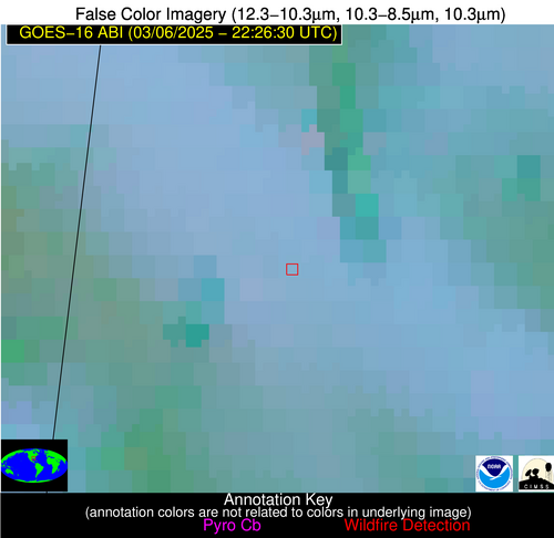
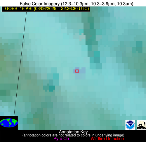
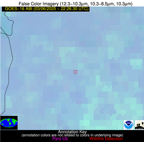
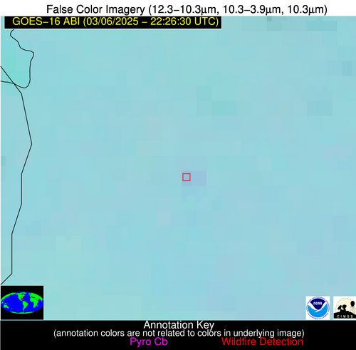
Wildfire Alert Report
| Date: | 2025-03-06 |
|---|---|
| Time: | 22:26:17 |
| Production Date and Time: | 2025-03-06 22:31:10 UTC |
| Primary Instrument: | GOES-16 ABI |
| Wmo Spacecraft Id: | 152 |
| Location/orbit: | GEO |
| L1 File: | OR_ABI-L1b-RadC-M6C14_G16_s20250652226172_e20250652228544_c20250652229032.nc |
| L1 File(s) - Temporal | OR_ABI-L1b-RadC-M6C14_G16_s20250652221172_e20250652223545_c20250652224022.nc |
| Number Of Thermal Anomaly Alerts: | 4 |
Possible Wildfire
| Basic Information | |
|---|---|
| State/Province(s) | AL |
| Country/Countries | United States |
| County/Locality(s) | Choctaw County, AL |
| NWS WFO | Mobile AL |
| Identification Method | Enhanced Contextual (Clear) |
| Mean Object Date/Time | 2025-03-06 22:27:21UTC |
| Radiative Center (Lat, Lon): | 32.151112°, -88.198334° |
| Nearby Counties (meeting alert criteria): |
|
| Total Radiative Power Anomaly | n/a |
| Total Radiative Power | 8.43 MW |
| Map: | |
| Additional Information | |
| Alert Status | New Feature |
| Type of Event | Nominal Risk |
| Event Priority Ranking | 4 |
| Maximum Observed BT (3.9 um) | 290.21 K |
| Observed - Background BT (3.9 um) | 5.11 K |
| BT Anomaly (3.9 um) | 10.17 K |
| Maximum Observed - Clear RTM BT (3.9 um) | 9.76 K |
| Maximum Observed BTD (3.9-10/11/12 um) | 8.30 K |
| Observed - Background BTD (3.9-10/11/12 um) | 5.10 K |
| BTD Anomaly (3.9-10/11/12 um) | 5.97 K |
| Similar Pixel Count | 2 |
| BT Time Tendency (3.9 um) | 4.80 K |
| Image Interval | 5.00 minutes |
| Fraction of Surrounding LWIR Pixels that are Colder | 0.73 |
| Fraction of Surrounding Red Channel Pixels that are Brighter | 1.00 |
| Maximum Radiative Power | 8.43 MW |
| Maximum Radiative Power Uncertainty | 0.00 MW |
| Total Radiative Power Uncertainty | 0.00 MW |
| Mean Viewing Angle | 40.20° |
| Mean Solar Zenith Angle | 73.00° |
| Mean Glint Angle | 74.20° |
| Water Fraction | 0.00 |
| Total Pixel Area | 5.20 km2 |
| Latest Satellite Imagery: | |
| View all event imagery » | |
Possible Wildfire
| Basic Information | |
|---|---|
| State/Province(s) | GA |
| Country/Countries | United States |
| County/Locality(s) | Calhoun County, GA |
| NWS WFO | Tallahassee FL |
| Identification Method | Enhanced Contextual (Clear) |
| Mean Object Date/Time | 2025-03-06 22:27:21UTC |
| Radiative Center (Lat, Lon): | 31.477777°, -84.793335° |
| Nearby Counties (meeting alert criteria): |
|
| Total Radiative Power Anomaly | n/a |
| Total Radiative Power | 4.59 MW |
| Map: | |
| Additional Information | |
| Alert Status | New Feature |
| Type of Event | Nominal Risk |
| Event Priority Ranking | 4 |
| Maximum Observed BT (3.9 um) | 289.85 K |
| Observed - Background BT (3.9 um) | 2.57 K |
| BT Anomaly (3.9 um) | 9.70 K |
| Maximum Observed - Clear RTM BT (3.9 um) | 7.63 K |
| Maximum Observed BTD (3.9-10/11/12 um) | 4.95 K |
| Observed - Background BTD (3.9-10/11/12 um) | 2.60 K |
| BTD Anomaly (3.9-10/11/12 um) | 14.36 K |
| Similar Pixel Count | 2 |
| BT Time Tendency (3.9 um) | 0.60 K |
| Image Interval | 5.00 minutes |
| Fraction of Surrounding LWIR Pixels that are Colder | 0.43 |
| Fraction of Surrounding Red Channel Pixels that are Brighter | 1.00 |
| Maximum Radiative Power | 4.59 MW |
| Maximum Radiative Power Uncertainty | 0.00 MW |
| Total Radiative Power Uncertainty | 0.00 MW |
| Mean Viewing Angle | 38.30° |
| Mean Solar Zenith Angle | 75.50° |
| Mean Glint Angle | 77.90° |
| Water Fraction | 0.00 |
| Total Pixel Area | 5.10 km2 |
| Latest Satellite Imagery: | |
| View all event imagery » | |
Possible Wildfire
| Basic Information | |
|---|---|
| State/Province(s) | LA |
| Country/Countries | United States |
| County/Locality(s) | St. Landry Parish, LA |
| NWS WFO | Lake Charles LA |
| Identification Method | Enhanced Contextual (Clear) |
| Mean Object Date/Time | 2025-03-06 22:27:20UTC |
| Radiative Center (Lat, Lon): | 30.668333°, -92.122780° |
| Nearby Counties (meeting alert criteria): |
|
| Total Radiative Power Anomaly | n/a |
| Total Radiative Power | 6.58 MW |
| Map: | |
| Additional Information | |
| Alert Status | New Feature |
| Type of Event | Nominal Risk |
| Event Priority Ranking | 4 |
| Maximum Observed BT (3.9 um) | 294.53 K |
| Observed - Background BT (3.9 um) | 3.37 K |
| BT Anomaly (3.9 um) | 8.78 K |
| Maximum Observed - Clear RTM BT (3.9 um) | 11.62 K |
| Maximum Observed BTD (3.9-10/11/12 um) | 6.56 K |
| Observed - Background BTD (3.9-10/11/12 um) | 2.88 K |
| BTD Anomaly (3.9-10/11/12 um) | 5.89 K |
| Similar Pixel Count | 3 |
| BT Time Tendency (3.9 um) | 0.80 K |
| Image Interval | 5.00 minutes |
| Fraction of Surrounding LWIR Pixels that are Colder | 0.92 |
| Fraction of Surrounding Red Channel Pixels that are Brighter | 1.00 |
| Maximum Radiative Power | 6.58 MW |
| Maximum Radiative Power Uncertainty | 0.00 MW |
| Total Radiative Power Uncertainty | 0.00 MW |
| Mean Viewing Angle | 40.40° |
| Mean Solar Zenith Angle | 69.30° |
| Mean Glint Angle | 68.10° |
| Water Fraction | 0.00 |
| Total Pixel Area | 5.30 km2 |
| Latest Satellite Imagery: | |
| View all event imagery » | |
Possible Wildfire
| Basic Information | |
|---|---|
| State/Province(s) | Unknown |
| Country/Countries | Dominican Republic |
| County/Locality(s) | Unknown, Unknown |
| NWS WFO | N/A |
| Identification Method | Enhanced Contextual (Clear) |
| Mean Object Date/Time | 2025-03-06 22:28:53UTC |
| Radiative Center (Lat, Lon): | 18.981388°, -71.677498° |
| Nearby Counties (meeting alert criteria): |
|
| Total Radiative Power Anomaly | n/a |
| Total Radiative Power | 76.41 MW |
| Map: | |
| Additional Information | |
| Alert Status | New Feature |
| Type of Event | Nominal Risk |
| Event Priority Ranking | 4 |
| Maximum Observed BT (3.9 um) | 306.33 K |
| Observed - Background BT (3.9 um) | 13.59 K |
| BT Anomaly (3.9 um) | 5.84 K |
| Maximum Observed - Clear RTM BT (3.9 um) | 6.61 K |
| Maximum Observed BTD (3.9-10/11/12 um) | 19.89 K |
| Observed - Background BTD (3.9-10/11/12 um) | 13.46 K |
| BTD Anomaly (3.9-10/11/12 um) | 8.54 K |
| Similar Pixel Count | 1 |
| BT Time Tendency (3.9 um) | -0.90 K |
| Image Interval | 5.00 minutes |
| Fraction of Surrounding LWIR Pixels that are Colder | 0.45 |
| Fraction of Surrounding Red Channel Pixels that are Brighter | 0.80 |
| Maximum Radiative Power | 76.41 MW |
| Maximum Radiative Power Uncertainty | 0.00 MW |
| Total Radiative Power Uncertainty | 0.00 MW |
| Mean Viewing Angle | 22.70° |
| Mean Solar Zenith Angle | 84.50° |
| Mean Glint Angle | 92.10° |
| Water Fraction | 0.00 |
| Total Pixel Area | 4.30 km2 |
| Latest Satellite Imagery: | |
| View all event imagery » | |
