Wildfire Alert Report
| Date: | 2025-03-02 |
|---|---|
| Time: | 20:14:55 |
| Production Date and Time: | 2025-03-02 20:16:35 UTC |
| Primary Instrument: | GOES-16 ABI |
| Wmo Spacecraft Id: | 152 |
| Location/orbit: | GEO |
| L1 File: | OR_ABI-L1b-RadM2-M6C14_G16_s20250612014555_e20250612015012_c20250612015070.nc |
| L1 File(s) - Temporal | OR_ABI-L1b-RadM2-M6C14_G16_s20250612013555_e20250612014012_c20250612014081.nc |
| Number Of Thermal Anomaly Alerts: | 4 |
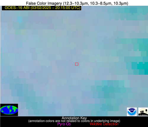
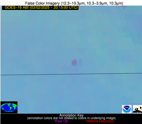
Possible Wildfire
| Basic Information | |
|---|---|
| State/Province(s) | IL |
| Country/Countries | United States |
| County/Locality(s) | Kankakee County, IL |
| NWS WFO | Chicago IL |
| Identification Method | Enhanced Contextual (Clear) |
| Mean Object Date/Time | 2025-03-02 20:14:57UTC |
| Radiative Center (Lat, Lon): | 41.018890°, -87.977219° |
| Nearby Counties (meeting alert criteria): |
|
| Total Radiative Power Anomaly | n/a |
| Total Radiative Power | 9.83 MW |
| Map: | |
| Additional Information | |
| Alert Status | New Feature |
| Type of Event | Nominal Risk |
| Event Priority Ranking | 4 |
| Maximum Observed BT (3.9 um) | 294.32 K |
| Observed - Background BT (3.9 um) | 4.21 K |
| BT Anomaly (3.9 um) | 3.64 K |
| Maximum Observed - Clear RTM BT (3.9 um) | 20.10 K |
| Maximum Observed BTD (3.9-10/11/12 um) | 13.07 K |
| Observed - Background BTD (3.9-10/11/12 um) | 3.95 K |
| BTD Anomaly (3.9-10/11/12 um) | 5.34 K |
| Similar Pixel Count | 24 |
| BT Time Tendency (3.9 um) | 2.10 K |
| Image Interval | 1.00 minutes |
| Fraction of Surrounding LWIR Pixels that are Colder | 0.57 |
| Fraction of Surrounding Red Channel Pixels that are Brighter | 1.00 |
| Maximum Radiative Power | 9.83 MW |
| Maximum Radiative Power Uncertainty | 0.00 MW |
| Total Radiative Power Uncertainty | 0.00 MW |
| Mean Viewing Angle | 49.40° |
| Mean Solar Zenith Angle | 57.10° |
| Mean Glint Angle | 88.80° |
| Water Fraction | 0.00 |
| Total Pixel Area | 6.20 km2 |
| Latest Satellite Imagery: | |
| View all event imagery » | |
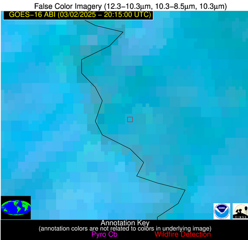
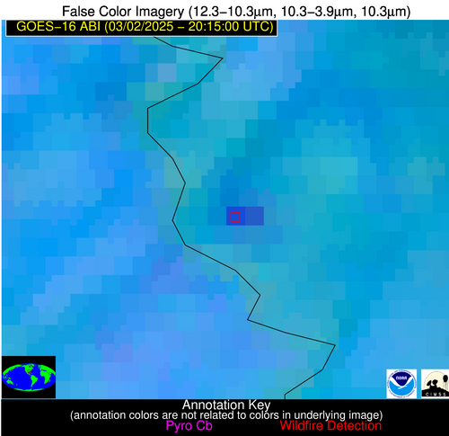
Possible Wildfire
| Basic Information | |
|---|---|
| State/Province(s) | IA |
| Country/Countries | United States |
| County/Locality(s) | Van Buren County, IA |
| NWS WFO | Quad Cities IL |
| Identification Method | Enhanced Contextual (Clear) |
| Mean Object Date/Time | 2025-03-02 20:14:56UTC |
| Radiative Center (Lat, Lon): | 40.648613°, -92.123886° |
| Nearby Counties (meeting alert criteria): |
|
| Total Radiative Power Anomaly | n/a |
| Total Radiative Power | 7.84 MW |
| Map: | |
| Additional Information | |
| Alert Status | New Feature |
| Type of Event | Nominal Risk |
| Event Priority Ranking | 4 |
| Maximum Observed BT (3.9 um) | 292.29 K |
| Observed - Background BT (3.9 um) | 3.22 K |
| BT Anomaly (3.9 um) | 2.71 K |
| Maximum Observed - Clear RTM BT (3.9 um) | 15.69 K |
| Maximum Observed BTD (3.9-10/11/12 um) | 12.18 K |
| Observed - Background BTD (3.9-10/11/12 um) | 3.21 K |
| BTD Anomaly (3.9-10/11/12 um) | 7.04 K |
| Similar Pixel Count | 25 |
| BT Time Tendency (3.9 um) | 2.40 K |
| Image Interval | 1.00 minutes |
| Fraction of Surrounding LWIR Pixels that are Colder | 0.52 |
| Fraction of Surrounding Red Channel Pixels that are Brighter | 1.00 |
| Maximum Radiative Power | 7.84 MW |
| Maximum Radiative Power Uncertainty | 0.00 MW |
| Total Radiative Power Uncertainty | 0.00 MW |
| Mean Viewing Angle | 50.40° |
| Mean Solar Zenith Angle | 54.90° |
| Mean Glint Angle | 86.90° |
| Water Fraction | 0.00 |
| Total Pixel Area | 6.30 km2 |
| Latest Satellite Imagery: | |
| View all event imagery » | |
Possible Wildfire
| Basic Information | |
|---|---|
| State/Province(s) | IL |
| Country/Countries | United States |
| County/Locality(s) | Union County, IL |
| NWS WFO | Paducah KY |
| Identification Method | Enhanced Contextual (Clear) |
| Mean Object Date/Time | 2025-03-02 20:14:56UTC |
| Radiative Center (Lat, Lon): | 37.473057°, -89.172501° |
| Nearby Counties (meeting alert criteria): |
|
| Total Radiative Power Anomaly | n/a |
| Total Radiative Power | 11.42 MW |
| Map: | |
| Additional Information | |
| Alert Status | New Feature |
| Type of Event | Nominal Risk |
| Event Priority Ranking | 4 |
| Maximum Observed BT (3.9 um) | 293.05 K |
| Observed - Background BT (3.9 um) | 3.57 K |
| BT Anomaly (3.9 um) | 3.32 K |
| Maximum Observed - Clear RTM BT (3.9 um) | 13.18 K |
| Maximum Observed BTD (3.9-10/11/12 um) | 9.30 K |
| Observed - Background BTD (3.9-10/11/12 um) | 3.06 K |
| BTD Anomaly (3.9-10/11/12 um) | 8.08 K |
| Similar Pixel Count | 25 |
| BT Time Tendency (3.9 um) | 1.20 K |
| Image Interval | 1.00 minutes |
| Fraction of Surrounding LWIR Pixels that are Colder | 0.73 |
| Fraction of Surrounding Red Channel Pixels that are Brighter | 1.00 |
| Maximum Radiative Power | 11.42 MW |
| Maximum Radiative Power Uncertainty | 0.00 MW |
| Total Radiative Power Uncertainty | 0.00 MW |
| Mean Viewing Angle | 46.10° |
| Mean Solar Zenith Angle | 53.80° |
| Mean Glint Angle | 82.10° |
| Water Fraction | 0.00 |
| Total Pixel Area | 11.50 km2 |
| Latest Satellite Imagery: | |
| View all event imagery » | |
Possible Wildfire
| Basic Information | |
|---|---|
| State/Province(s) | LA |
| Country/Countries | United States |
| County/Locality(s) | Madison Parish, LA |
| NWS WFO | Jackson MS |
| Identification Method | Enhanced Contextual (Cloud) |
| Mean Object Date/Time | 2025-03-02 20:14:59UTC |
| Radiative Center (Lat, Lon): | 32.504444°, -91.033058° |
| Nearby Counties (meeting alert criteria): |
|
| Total Radiative Power Anomaly | n/a |
| Total Radiative Power | 30.85 MW |
| Map: | |
| Additional Information | |
| Alert Status | New Feature |
| Type of Event | Nominal Risk |
| Event Priority Ranking | 4 |
| Maximum Observed BT (3.9 um) | 305.01 K |
| Observed - Background BT (3.9 um) | 13.16 K |
| BT Anomaly (3.9 um) | 5.79 K |
| Maximum Observed - Clear RTM BT (3.9 um) | 19.93 K |
| Maximum Observed BTD (3.9-10/11/12 um) | 23.96 K |
| Observed - Background BTD (3.9-10/11/12 um) | 12.31 K |
| BTD Anomaly (3.9-10/11/12 um) | 6.80 K |
| Similar Pixel Count | 0 |
| BT Time Tendency (3.9 um) | 4.00 K |
| Image Interval | 1.00 minutes |
| Fraction of Surrounding LWIR Pixels that are Colder | 0.60 |
| Fraction of Surrounding Red Channel Pixels that are Brighter | 0.81 |
| Maximum Radiative Power | 30.85 MW |
| Maximum Radiative Power Uncertainty | 0.00 MW |
| Total Radiative Power Uncertainty | 0.00 MW |
| Mean Viewing Angle | 41.70° |
| Mean Solar Zenith Angle | 49.00° |
| Mean Glint Angle | 72.40° |
| Water Fraction | 0.00 |
| Total Pixel Area | 5.40 km2 |
| Latest Satellite Imagery: | |
| View all event imagery » | |


