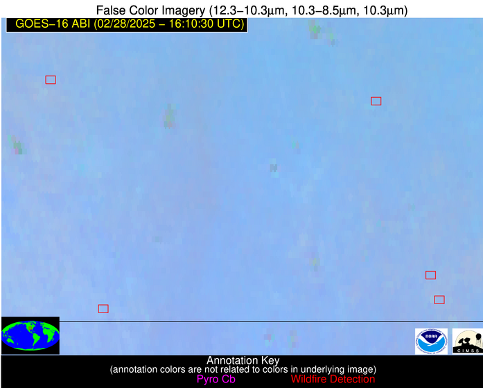
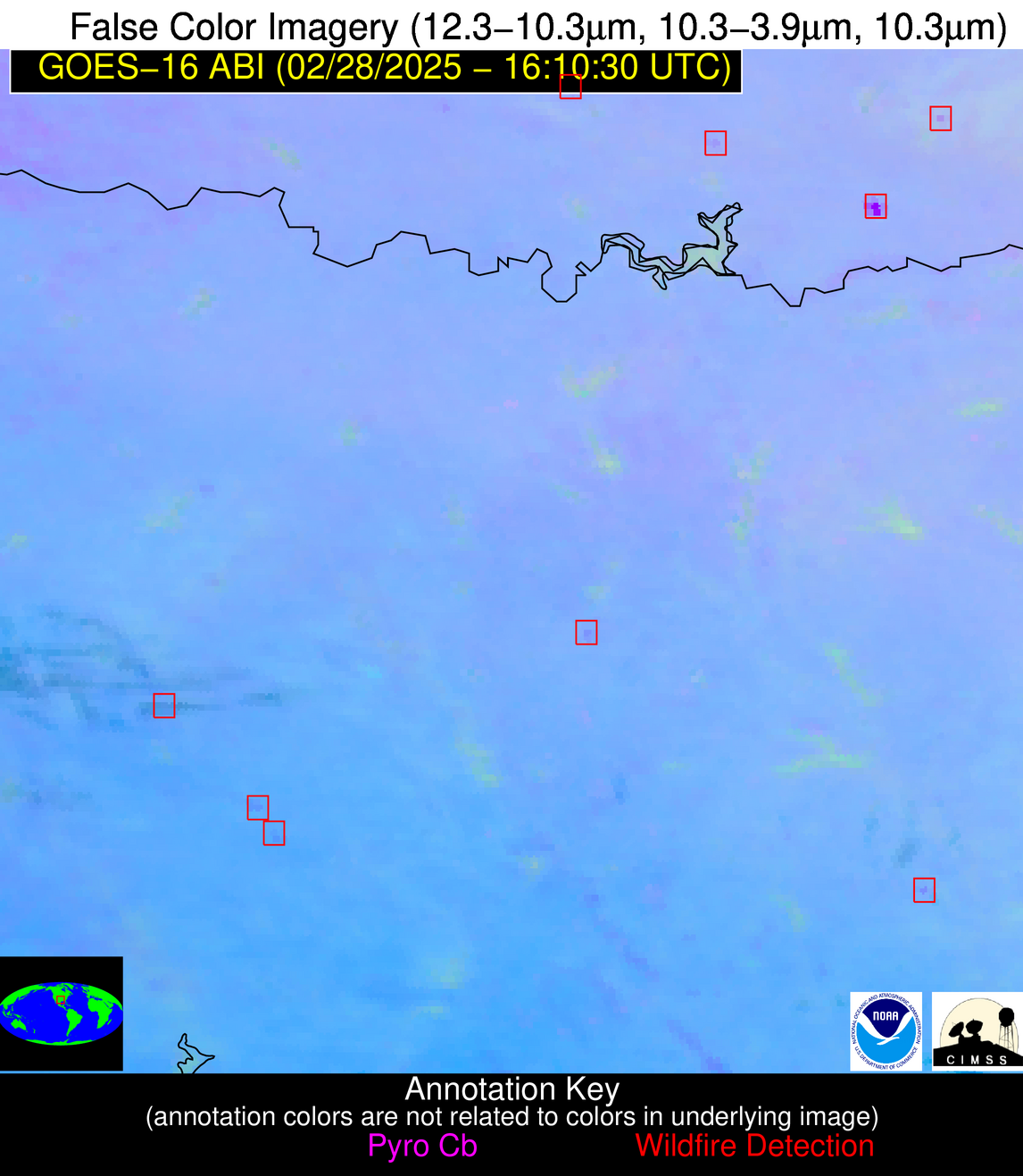
Wildfire Alert Report
| Date: | 2025-02-28 |
|---|---|
| Time: | 16:10:28 |
| Production Date and Time: | 2025-02-28 16:11:12 UTC |
| Primary Instrument: | GOES-16 ABI |
| Wmo Spacecraft Id: | 152 |
| Location/orbit: | GEO |
| L1 File: | OR_ABI-L1b-RadM1-M6C14_G16_s20250591610283_e20250591610340_c20250591610390.nc |
| L1 File(s) - Temporal | OR_ABI-L1b-RadM1-M6C14_G16_s20250591609254_e20250591609311_c20250591609369.nc |
| Number Of Thermal Anomaly Alerts: | 5 |
Possible Wildfire
| Basic Information | |
|---|---|
| State/Province(s) | KS |
| Country/Countries | United States |
| County/Locality(s) | Harvey County, KS |
| NWS WFO | Wichita KS |
| Identification Method | Enhanced Contextual (Clear) |
| Mean Object Date/Time | 2025-02-28 16:10:30UTC |
| Radiative Center (Lat, Lon): | 38.031666°, -97.604164° |
| Nearby Counties (meeting alert criteria): |
|
| Total Radiative Power Anomaly | n/a |
| Total Radiative Power | 5.50 MW |
| Map: | |
| Additional Information | |
| Alert Status | New Feature |
| Type of Event | Nominal Risk |
| Event Priority Ranking | 4 |
| Maximum Observed BT (3.9 um) | 298.75 K |
| Observed - Background BT (3.9 um) | 2.33 K |
| BT Anomaly (3.9 um) | 3.02 K |
| Maximum Observed - Clear RTM BT (3.9 um) | 13.02 K |
| Maximum Observed BTD (3.9-10/11/12 um) | 11.35 K |
| Observed - Background BTD (3.9-10/11/12 um) | 2.11 K |
| BTD Anomaly (3.9-10/11/12 um) | 3.80 K |
| Similar Pixel Count | 25 |
| BT Time Tendency (3.9 um) | 0.70 K |
| Image Interval | 1.00 minutes |
| Fraction of Surrounding LWIR Pixels that are Colder | 0.68 |
| Fraction of Surrounding Red Channel Pixels that are Brighter | 1.00 |
| Maximum Radiative Power | 5.50 MW |
| Maximum Radiative Power Uncertainty | 0.00 MW |
| Total Radiative Power Uncertainty | 0.00 MW |
| Mean Viewing Angle | 50.20° |
| Mean Solar Zenith Angle | 58.50° |
| Mean Glint Angle | 107.80° |
| Water Fraction | 0.00 |
| Total Pixel Area | 6.20 km2 |
| Latest Satellite Imagery: | |
| View all event imagery » | |
Possible Wildfire
| Basic Information | |
|---|---|
| State/Province(s) | KS |
| Country/Countries | United States |
| County/Locality(s) | Cherokee County, KS |
| NWS WFO | Springfield MO |
| Identification Method | Enhanced Contextual (Clear) |
| Mean Object Date/Time | 2025-02-28 16:10:31UTC |
| Radiative Center (Lat, Lon): | 37.093056°, -94.950279° |
| Nearby Counties (meeting alert criteria): |
|
| Total Radiative Power Anomaly | n/a |
| Total Radiative Power | 5.46 MW |
| Map: | |
| Additional Information | |
| Alert Status | New Feature |
| Type of Event | Elevated SPC Risk and Red Flag Warning |
| Event Priority Ranking | 1 |
| Maximum Observed BT (3.9 um) | 297.12 K |
| Observed - Background BT (3.9 um) | 2.01 K |
| BT Anomaly (3.9 um) | 3.25 K |
| Maximum Observed - Clear RTM BT (3.9 um) | 12.03 K |
| Maximum Observed BTD (3.9-10/11/12 um) | 9.84 K |
| Observed - Background BTD (3.9-10/11/12 um) | 2.28 K |
| BTD Anomaly (3.9-10/11/12 um) | 7.63 K |
| Similar Pixel Count | 25 |
| BT Time Tendency (3.9 um) | 0.50 K |
| Image Interval | 1.00 minutes |
| Fraction of Surrounding LWIR Pixels that are Colder | 0.46 |
| Fraction of Surrounding Red Channel Pixels that are Brighter | 1.00 |
| Maximum Radiative Power | 5.46 MW |
| Maximum Radiative Power Uncertainty | 0.00 MW |
| Total Radiative Power Uncertainty | 0.00 MW |
| Mean Viewing Angle | 48.00° |
| Mean Solar Zenith Angle | 56.30° |
| Mean Glint Angle | 103.40° |
| Water Fraction | 0.00 |
| Total Pixel Area | 6.00 km2 |
| Latest Satellite Imagery: | |
| View all event imagery » | |
Possible Wildfire
| Basic Information | |
|---|---|
| State/Province(s) | OK |
| Country/Countries | United States |
| County/Locality(s) | Atoka County, OK |
| NWS WFO | Norman OK |
| Identification Method | Enhanced Contextual (Clear) |
| Mean Object Date/Time | 2025-02-28 16:10:33UTC |
| Radiative Center (Lat, Lon): | 34.413612°, -95.834724° |
| Nearby Counties (meeting alert criteria): |
|
| Total Radiative Power Anomaly | n/a |
| Total Radiative Power | 15.43 MW |
| Map: | |
| Additional Information | |
| Alert Status | New Feature |
| Type of Event | Elevated SPC Risk |
| Event Priority Ranking | 3 |
| Maximum Observed BT (3.9 um) | 299.45 K |
| Observed - Background BT (3.9 um) | 4.29 K |
| BT Anomaly (3.9 um) | 3.36 K |
| Maximum Observed - Clear RTM BT (3.9 um) | 12.85 K |
| Maximum Observed BTD (3.9-10/11/12 um) | 10.60 K |
| Observed - Background BTD (3.9-10/11/12 um) | 5.25 K |
| BTD Anomaly (3.9-10/11/12 um) | 6.69 K |
| Similar Pixel Count | 1 |
| BT Time Tendency (3.9 um) | 2.10 K |
| Image Interval | 1.00 minutes |
| Fraction of Surrounding LWIR Pixels that are Colder | 0.05 |
| Fraction of Surrounding Red Channel Pixels that are Brighter | 1.00 |
| Maximum Radiative Power | 15.43 MW |
| Maximum Radiative Power Uncertainty | 0.00 MW |
| Total Radiative Power Uncertainty | 0.00 MW |
| Mean Viewing Angle | 45.90° |
| Mean Solar Zenith Angle | 54.90° |
| Mean Glint Angle | 100.10° |
| Water Fraction | 0.00 |
| Total Pixel Area | 5.70 km2 |
| Latest Satellite Imagery: | |
| View all event imagery » | |
Possible Wildfire
| Basic Information | |
|---|---|
| State/Province(s) | TX |
| Country/Countries | United States |
| County/Locality(s) | Ellis County, TX |
| NWS WFO | Fort Worth TX |
| Identification Method | Enhanced Contextual (Clear) |
| Mean Object Date/Time | 2025-02-28 16:10:33UTC |
| Radiative Center (Lat, Lon): | 32.458057°, -97.048058° |
| Nearby Counties (meeting alert criteria): |
|
| Total Radiative Power Anomaly | n/a |
| Total Radiative Power | 11.40 MW |
| Map: | |
| Additional Information | |
| Alert Status | New Feature |
| Type of Event | Ferrous-metal |
| Event Priority Ranking | 5 |
| Maximum Observed BT (3.9 um) | 303.16 K |
| Observed - Background BT (3.9 um) | 3.66 K |
| BT Anomaly (3.9 um) | 3.30 K |
| Maximum Observed - Clear RTM BT (3.9 um) | 14.62 K |
| Maximum Observed BTD (3.9-10/11/12 um) | 11.45 K |
| Observed - Background BTD (3.9-10/11/12 um) | 3.88 K |
| BTD Anomaly (3.9-10/11/12 um) | 7.66 K |
| Similar Pixel Count | 14 |
| BT Time Tendency (3.9 um) | 3.10 K |
| Image Interval | 1.00 minutes |
| Fraction of Surrounding LWIR Pixels that are Colder | 0.37 |
| Fraction of Surrounding Red Channel Pixels that are Brighter | 0.73 |
| Maximum Radiative Power | 11.40 MW |
| Maximum Radiative Power Uncertainty | 0.00 MW |
| Total Radiative Power Uncertainty | 0.00 MW |
| Mean Viewing Angle | 44.70° |
| Mean Solar Zenith Angle | 54.40° |
| Mean Glint Angle | 98.50° |
| Water Fraction | 0.00 |
| Total Pixel Area | 5.60 km2 |
| Latest Satellite Imagery: | |
| View all event imagery » | |
Possible Wildfire
| Basic Information | |
|---|---|
| State/Province(s) | TX |
| Country/Countries | United States |
| County/Locality(s) | San Saba County, TX |
| NWS WFO | San Angelo TX |
| Identification Method | Enhanced Contextual (Clear) |
| Mean Object Date/Time | 2025-02-28 16:10:33UTC |
| Radiative Center (Lat, Lon): | 31.018055°, -98.744164° |
| Nearby Counties (meeting alert criteria): |
|
| Total Radiative Power Anomaly | n/a |
| Total Radiative Power | 6.08 MW |
| Map: | |
| Additional Information | |
| Alert Status | New Feature |
| Type of Event | Nominal Risk |
| Event Priority Ranking | 4 |
| Maximum Observed BT (3.9 um) | 301.32 K |
| Observed - Background BT (3.9 um) | 2.54 K |
| BT Anomaly (3.9 um) | 2.56 K |
| Maximum Observed - Clear RTM BT (3.9 um) | 12.02 K |
| Maximum Observed BTD (3.9-10/11/12 um) | 10.86 K |
| Observed - Background BTD (3.9-10/11/12 um) | 1.89 K |
| BTD Anomaly (3.9-10/11/12 um) | 2.84 K |
| Similar Pixel Count | 25 |
| BT Time Tendency (3.9 um) | 0.70 K |
| Image Interval | 1.00 minutes |
| Fraction of Surrounding LWIR Pixels that are Colder | 0.86 |
| Fraction of Surrounding Red Channel Pixels that are Brighter | 1.00 |
| Maximum Radiative Power | 6.08 MW |
| Maximum Radiative Power Uncertainty | 0.00 MW |
| Total Radiative Power Uncertainty | 0.00 MW |
| Mean Viewing Angle | 44.50° |
| Mean Solar Zenith Angle | 54.50° |
| Mean Glint Angle | 98.50° |
| Water Fraction | 0.00 |
| Total Pixel Area | 5.60 km2 |
| Latest Satellite Imagery: | |
| View all event imagery » | |


