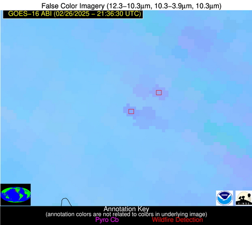
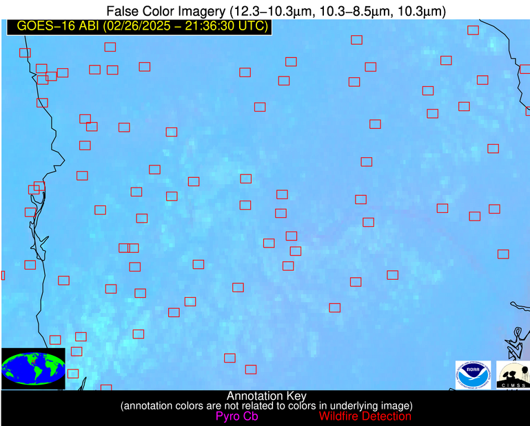
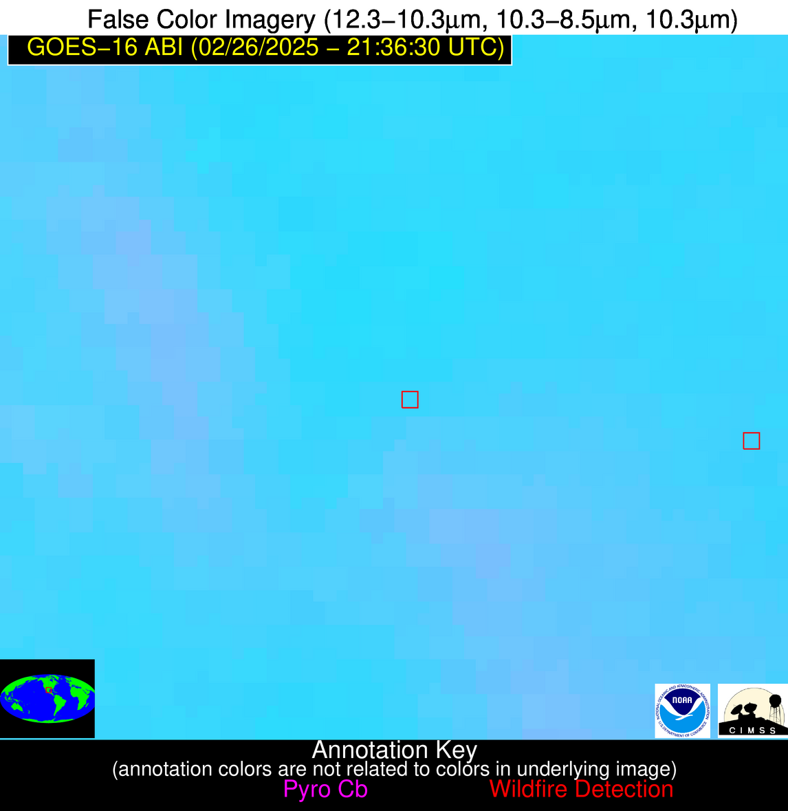
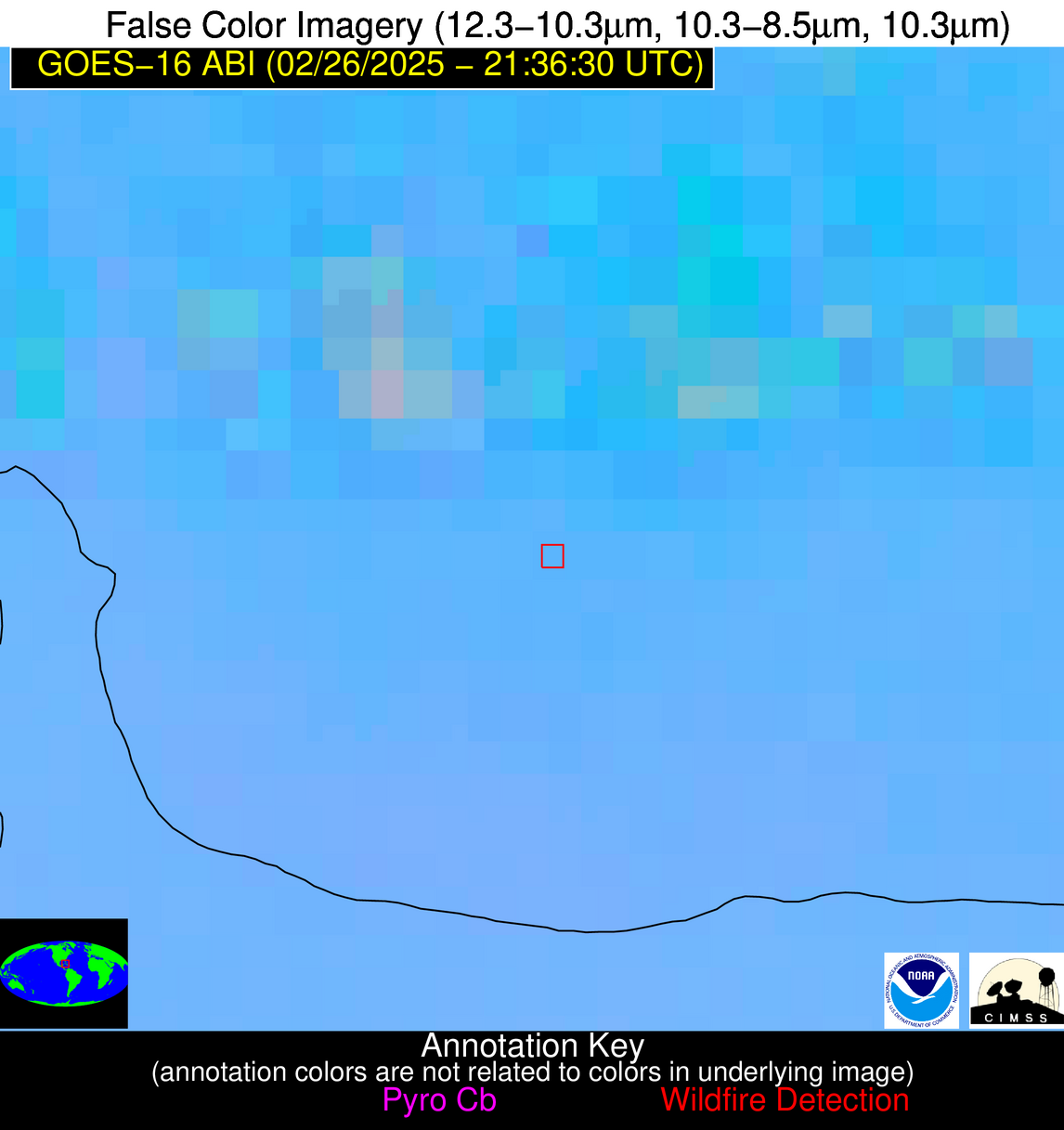
10 Jan 2026: Notice to users: ongoing data center construction may unexpectedly interrupt NGFS product generation.
Wildfire Alert Report
| Date: | 2025-02-26 |
|---|---|
| Time: | 21:36:17 |
| Production Date and Time: | 2025-02-26 21:45:31 UTC |
| Primary Instrument: | GOES-16 ABI |
| Wmo Spacecraft Id: | 152 |
| Location/orbit: | GEO |
| L1 File: | OR_ABI-L1b-RadC-M6C14_G16_s20250572136174_e20250572138547_c20250572139008.nc |
| L1 File(s) - Temporal | OR_ABI-L1b-RadC-M6C14_G16_s20250572131174_e20250572133547_c20250572134042.nc |
| Number Of Thermal Anomaly Alerts: | 14 |
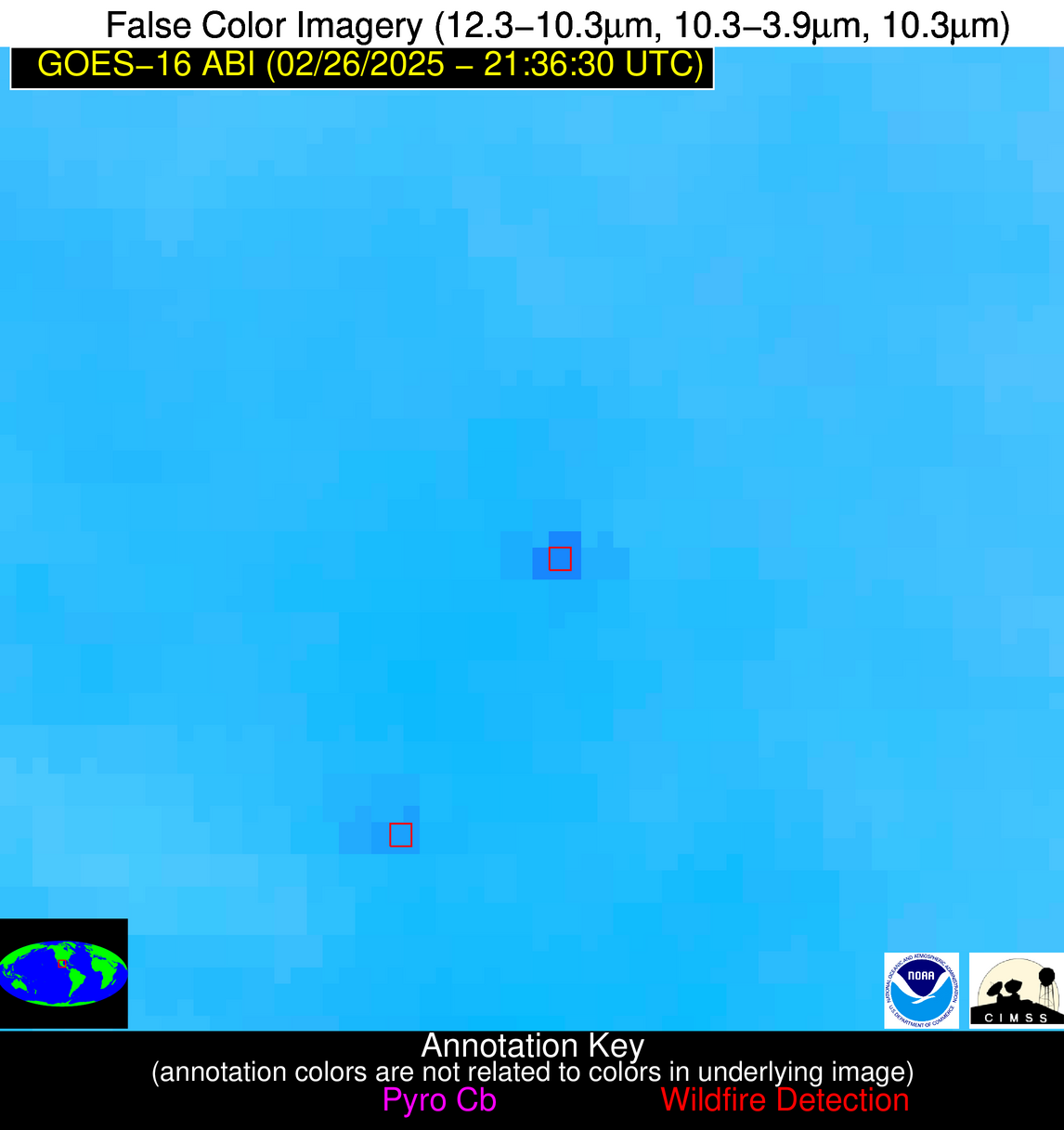
Possible Wildfire
| Basic Information | |
|---|---|
| State/Province(s) | CA |
| Country/Countries | United States |
| County/Locality(s) | Yolo County, CA |
| NWS WFO | Sacramento CA |
| Identification Method | Enhanced Contextual (Clear) |
| Mean Object Date/Time | 2025-02-26 21:36:48UTC |
| Radiative Center (Lat, Lon): | 38.914165°, -122.095833° |
| Nearby Counties (meeting alert criteria): |
|
| Total Radiative Power Anomaly | n/a |
| Total Radiative Power | 22.60 MW |
| Map: | |
| Additional Information | |
| Alert Status | New Feature |
| Type of Event | Nominal Risk |
| Event Priority Ranking | 4 |
| Maximum Observed BT (3.9 um) | 299.49 K |
| Observed - Background BT (3.9 um) | 3.68 K |
| BT Anomaly (3.9 um) | 2.89 K |
| Maximum Observed - Clear RTM BT (3.9 um) | 13.77 K |
| Maximum Observed BTD (3.9-10/11/12 um) | 8.51 K |
| Observed - Background BTD (3.9-10/11/12 um) | 3.86 K |
| BTD Anomaly (3.9-10/11/12 um) | 4.30 K |
| Similar Pixel Count | 5 |
| BT Time Tendency (3.9 um) | 0.90 K |
| Image Interval | 5.00 minutes |
| Fraction of Surrounding LWIR Pixels that are Colder | 0.38 |
| Fraction of Surrounding Red Channel Pixels that are Brighter | 1.00 |
| Maximum Radiative Power | 22.60 MW |
| Maximum Radiative Power Uncertainty | 0.00 MW |
| Total Radiative Power Uncertainty | 0.00 MW |
| Mean Viewing Angle | 66.20° |
| Mean Solar Zenith Angle | 51.10° |
| Mean Glint Angle | 80.00° |
| Water Fraction | 0.00 |
| Total Pixel Area | 9.90 km2 |
| Latest Satellite Imagery: | |
| View all event imagery » | |
Possible Wildfire
| Basic Information | |
|---|---|
| State/Province(s) | AL |
| Country/Countries | United States |
| County/Locality(s) | Marion County, AL |
| NWS WFO | Birmingham AL |
| Identification Method | Enhanced Contextual (Clear) |
| Mean Object Date/Time | 2025-02-26 21:37:21UTC |
| Radiative Center (Lat, Lon): | 34.128887°, -87.946945° |
| Nearby Counties (meeting alert criteria): |
|
| Total Radiative Power Anomaly | n/a |
| Total Radiative Power | 4.44 MW |
| Map: | |
| Additional Information | |
| Alert Status | New Feature |
| Type of Event | Nominal Risk |
| Event Priority Ranking | 4 |
| Maximum Observed BT (3.9 um) | 297.99 K |
| Observed - Background BT (3.9 um) | 1.87 K |
| BT Anomaly (3.9 um) | 7.61 K |
| Maximum Observed - Clear RTM BT (3.9 um) | 10.48 K |
| Maximum Observed BTD (3.9-10/11/12 um) | 5.73 K |
| Observed - Background BTD (3.9-10/11/12 um) | 1.70 K |
| BTD Anomaly (3.9-10/11/12 um) | 8.48 K |
| Similar Pixel Count | 22 |
| BT Time Tendency (3.9 um) | 0.80 K |
| Image Interval | 5.00 minutes |
| Fraction of Surrounding LWIR Pixels that are Colder | 0.70 |
| Fraction of Surrounding Red Channel Pixels that are Brighter | 1.00 |
| Maximum Radiative Power | 4.44 MW |
| Maximum Radiative Power Uncertainty | 0.00 MW |
| Total Radiative Power Uncertainty | 0.00 MW |
| Mean Viewing Angle | 42.20° |
| Mean Solar Zenith Angle | 66.10° |
| Mean Glint Angle | 78.00° |
| Water Fraction | 0.00 |
| Total Pixel Area | 5.40 km2 |
| Latest Satellite Imagery: | |
| View all event imagery » | |
Possible Wildfire
| Basic Information | |
|---|---|
| State/Province(s) | MS |
| Country/Countries | United States |
| County/Locality(s) | Quitman County, MS |
| NWS WFO | Memphis TN |
| Identification Method | Enhanced Contextual (Clear) |
| Mean Object Date/Time | 2025-02-26 21:37:21UTC |
| Radiative Center (Lat, Lon): | 34.161110°, -90.164719° |
| Nearby Counties (meeting alert criteria): |
|
| Total Radiative Power Anomaly | n/a |
| Total Radiative Power | 9.88 MW |
| Map: | |
| Additional Information | |
| Alert Status | New Feature |
| Type of Event | Nominal Risk |
| Event Priority Ranking | 4 |
| Maximum Observed BT (3.9 um) | 298.35 K |
| Observed - Background BT (3.9 um) | 3.24 K |
| BT Anomaly (3.9 um) | 3.89 K |
| Maximum Observed - Clear RTM BT (3.9 um) | 11.82 K |
| Maximum Observed BTD (3.9-10/11/12 um) | 9.12 K |
| Observed - Background BTD (3.9-10/11/12 um) | 3.94 K |
| BTD Anomaly (3.9-10/11/12 um) | 5.16 K |
| Similar Pixel Count | 3 |
| BT Time Tendency (3.9 um) | 1.20 K |
| Image Interval | 5.00 minutes |
| Fraction of Surrounding LWIR Pixels that are Colder | 0.19 |
| Fraction of Surrounding Red Channel Pixels that are Brighter | 1.00 |
| Maximum Radiative Power | 9.88 MW |
| Maximum Radiative Power Uncertainty | 0.00 MW |
| Total Radiative Power Uncertainty | 0.00 MW |
| Mean Viewing Angle | 43.00° |
| Mean Solar Zenith Angle | 64.60° |
| Mean Glint Angle | 76.10° |
| Water Fraction | 0.00 |
| Total Pixel Area | 5.50 km2 |
| Latest Satellite Imagery: | |
| View all event imagery » | |
Possible Wildfire
| Basic Information | |
|---|---|
| State/Province(s) | GA |
| Country/Countries | United States |
| County/Locality(s) | Wilkinson County, GA |
| NWS WFO | Peachtree City GA |
| Identification Method | Enhanced Contextual (Clear) |
| Mean Object Date/Time | 2025-02-26 21:37:22UTC |
| Radiative Center (Lat, Lon): | 32.862778°, -83.167778° |
| Nearby Counties (meeting alert criteria): |
|
| Total Radiative Power Anomaly | n/a |
| Total Radiative Power | 5.69 MW |
| Map: | |
| Additional Information | |
| Alert Status | New Feature |
| Type of Event | Nominal Risk |
| Event Priority Ranking | 4 |
| Maximum Observed BT (3.9 um) | 298.26 K |
| Observed - Background BT (3.9 um) | 2.50 K |
| BT Anomaly (3.9 um) | 7.52 K |
| Maximum Observed - Clear RTM BT (3.9 um) | 8.75 K |
| Maximum Observed BTD (3.9-10/11/12 um) | 5.94 K |
| Observed - Background BTD (3.9-10/11/12 um) | 2.33 K |
| BTD Anomaly (3.9-10/11/12 um) | 9.01 K |
| Similar Pixel Count | 7 |
| BT Time Tendency (3.9 um) | 2.00 K |
| Image Interval | 5.00 minutes |
| Fraction of Surrounding LWIR Pixels that are Colder | 0.72 |
| Fraction of Surrounding Red Channel Pixels that are Brighter | 1.00 |
| Maximum Radiative Power | 5.69 MW |
| Maximum Radiative Power Uncertainty | 0.00 MW |
| Total Radiative Power Uncertainty | 0.00 MW |
| Mean Viewing Angle | 39.40° |
| Mean Solar Zenith Angle | 69.00° |
| Mean Glint Angle | 81.30° |
| Water Fraction | 0.00 |
| Total Pixel Area | 5.20 km2 |
| Latest Satellite Imagery: | |
| View all event imagery » | |
Possible Wildfire
| Basic Information | |
|---|---|
| State/Province(s) | GA |
| Country/Countries | United States |
| County/Locality(s) | Bibb County, GA |
| NWS WFO | Peachtree City GA |
| Identification Method | Enhanced Contextual (Clear) |
| Mean Object Date/Time | 2025-02-26 21:37:21UTC |
| Radiative Center (Lat, Lon): | 32.796665°, -83.519722° |
| Nearby Counties (meeting alert criteria): |
|
| Total Radiative Power Anomaly | n/a |
| Total Radiative Power | 6.30 MW |
| Map: | |
| Additional Information | |
| Alert Status | New Feature |
| Type of Event | Nominal Risk |
| Event Priority Ranking | 4 |
| Maximum Observed BT (3.9 um) | 298.97 K |
| Observed - Background BT (3.9 um) | 2.99 K |
| BT Anomaly (3.9 um) | 3.75 K |
| Maximum Observed - Clear RTM BT (3.9 um) | 9.63 K |
| Maximum Observed BTD (3.9-10/11/12 um) | 6.46 K |
| Observed - Background BTD (3.9-10/11/12 um) | 2.71 K |
| BTD Anomaly (3.9-10/11/12 um) | 6.62 K |
| Similar Pixel Count | 4 |
| BT Time Tendency (3.9 um) | 1.10 K |
| Image Interval | 5.00 minutes |
| Fraction of Surrounding LWIR Pixels that are Colder | 0.80 |
| Fraction of Surrounding Red Channel Pixels that are Brighter | 1.00 |
| Maximum Radiative Power | 6.30 MW |
| Maximum Radiative Power Uncertainty | 0.00 MW |
| Total Radiative Power Uncertainty | 0.00 MW |
| Mean Viewing Angle | 39.40° |
| Mean Solar Zenith Angle | 68.70° |
| Mean Glint Angle | 80.80° |
| Water Fraction | 0.00 |
| Total Pixel Area | 5.20 km2 |
| Latest Satellite Imagery: | |
| View all event imagery » | |
Possible Wildfire
| Basic Information | |
|---|---|
| State/Province(s) | GA |
| Country/Countries | United States |
| County/Locality(s) | Muscogee County, GA |
| NWS WFO | Peachtree City GA |
| Identification Method | Enhanced Contextual (Clear) |
| Mean Object Date/Time | 2025-02-26 21:37:21UTC |
| Radiative Center (Lat, Lon): | 32.607777°, -85.071945° |
| Nearby Counties (meeting alert criteria): |
|
| Total Radiative Power Anomaly | n/a |
| Total Radiative Power | 12.38 MW |
| Map: | |
| Additional Information | |
| Alert Status | New Feature |
| Type of Event | Nominal Risk |
| Event Priority Ranking | 4 |
| Maximum Observed BT (3.9 um) | 300.55 K |
| Observed - Background BT (3.9 um) | 3.96 K |
| BT Anomaly (3.9 um) | 3.36 K |
| Maximum Observed - Clear RTM BT (3.9 um) | 10.00 K |
| Maximum Observed BTD (3.9-10/11/12 um) | 9.12 K |
| Observed - Background BTD (3.9-10/11/12 um) | 4.70 K |
| BTD Anomaly (3.9-10/11/12 um) | 5.77 K |
| Similar Pixel Count | 2 |
| BT Time Tendency (3.9 um) | 3.90 K |
| Image Interval | 5.00 minutes |
| Fraction of Surrounding LWIR Pixels that are Colder | 0.07 |
| Fraction of Surrounding Red Channel Pixels that are Brighter | 1.00 |
| Maximum Radiative Power | 12.38 MW |
| Maximum Radiative Power Uncertainty | 0.00 MW |
| Total Radiative Power Uncertainty | 0.00 MW |
| Mean Viewing Angle | 39.60° |
| Mean Solar Zenith Angle | 67.50° |
| Mean Glint Angle | 78.90° |
| Water Fraction | 0.00 |
| Total Pixel Area | 5.20 km2 |
| Latest Satellite Imagery: | |
| View all event imagery » | |
Possible Wildfire
| Basic Information | |
|---|---|
| State/Province(s) | LA |
| Country/Countries | United States |
| County/Locality(s) | Morehouse Parish, LA |
| NWS WFO | Jackson MS |
| Identification Method | Enhanced Contextual (Clear) |
| Mean Object Date/Time | 2025-02-26 21:37:20UTC |
| Radiative Center (Lat, Lon): | 32.665554°, -91.724167° |
| Nearby Counties (meeting alert criteria): |
|
| Total Radiative Power Anomaly | n/a |
| Total Radiative Power | 11.59 MW |
| Map: | |
| Additional Information | |
| Alert Status | New Feature |
| Type of Event | Nominal Risk |
| Event Priority Ranking | 4 |
| Maximum Observed BT (3.9 um) | 299.62 K |
| Observed - Background BT (3.9 um) | 4.85 K |
| BT Anomaly (3.9 um) | 7.38 K |
| Maximum Observed - Clear RTM BT (3.9 um) | 12.37 K |
| Maximum Observed BTD (3.9-10/11/12 um) | 8.48 K |
| Observed - Background BTD (3.9-10/11/12 um) | 4.49 K |
| BTD Anomaly (3.9-10/11/12 um) | 17.72 K |
| Similar Pixel Count | 3 |
| BT Time Tendency (3.9 um) | 3.30 K |
| Image Interval | 5.00 minutes |
| Fraction of Surrounding LWIR Pixels that are Colder | 0.72 |
| Fraction of Surrounding Red Channel Pixels that are Brighter | 1.00 |
| Maximum Radiative Power | 11.59 MW |
| Maximum Radiative Power Uncertainty | 0.00 MW |
| Total Radiative Power Uncertainty | 0.00 MW |
| Mean Viewing Angle | 42.20° |
| Mean Solar Zenith Angle | 62.70° |
| Mean Glint Angle | 72.70° |
| Water Fraction | 0.00 |
| Total Pixel Area | 5.40 km2 |
| Latest Satellite Imagery: | |
| View all event imagery » | |
Possible Wildfire
| Basic Information | |
|---|---|
| State/Province(s) | GA |
| Country/Countries | United States |
| County/Locality(s) | Liberty County, GA |
| NWS WFO | Charleston SC |
| Identification Method | Enhanced Contextual (Clear) |
| Mean Object Date/Time | 2025-02-26 21:37:22UTC |
| Radiative Center (Lat, Lon): | 31.947500°, -81.611115° |
| Nearby Counties (meeting alert criteria): |
|
| Total Radiative Power Anomaly | n/a |
| Total Radiative Power | 5.84 MW |
| Map: | |
| Additional Information | |
| Alert Status | New Feature |
| Type of Event | Nominal Risk |
| Event Priority Ranking | 4 |
| Maximum Observed BT (3.9 um) | 297.90 K |
| Observed - Background BT (3.9 um) | 2.25 K |
| BT Anomaly (3.9 um) | 3.17 K |
| Maximum Observed - Clear RTM BT (3.9 um) | 7.85 K |
| Maximum Observed BTD (3.9-10/11/12 um) | 5.45 K |
| Observed - Background BTD (3.9-10/11/12 um) | 2.33 K |
| BTD Anomaly (3.9-10/11/12 um) | 6.69 K |
| Similar Pixel Count | 3 |
| BT Time Tendency (3.9 um) | 1.30 K |
| Image Interval | 5.00 minutes |
| Fraction of Surrounding LWIR Pixels that are Colder | 0.42 |
| Fraction of Surrounding Red Channel Pixels that are Brighter | 1.00 |
| Maximum Radiative Power | 5.84 MW |
| Maximum Radiative Power Uncertainty | 0.00 MW |
| Total Radiative Power Uncertainty | 0.00 MW |
| Mean Viewing Angle | 38.00° |
| Mean Solar Zenith Angle | 69.80° |
| Mean Glint Angle | 82.00° |
| Water Fraction | 0.00 |
| Total Pixel Area | 5.10 km2 |
| Latest Satellite Imagery: | |
| View all event imagery » | |
Possible Wildfire
| Basic Information | |
|---|---|
| State/Province(s) | TX |
| Country/Countries | United States |
| County/Locality(s) | Hill County, TX |
| NWS WFO | Fort Worth TX |
| Identification Method | Enhanced Contextual (Clear) |
| Mean Object Date/Time | 2025-02-26 21:37:20UTC |
| Radiative Center (Lat, Lon): | 32.025002°, -97.482224° |
| Nearby Counties (meeting alert criteria): |
|
| Total Radiative Power Anomaly | n/a |
| Total Radiative Power | 28.25 MW |
| Map: | |
| Additional Information | |
| Alert Status | New Feature |
| Type of Event | Nominal Risk |
| Event Priority Ranking | 4 |
| Maximum Observed BT (3.9 um) | 306.23 K |
| Observed - Background BT (3.9 um) | 8.53 K |
| BT Anomaly (3.9 um) | 8.96 K |
| Maximum Observed - Clear RTM BT (3.9 um) | 12.75 K |
| Maximum Observed BTD (3.9-10/11/12 um) | 18.24 K |
| Observed - Background BTD (3.9-10/11/12 um) | 8.88 K |
| BTD Anomaly (3.9-10/11/12 um) | 9.93 K |
| Similar Pixel Count | 2 |
| BT Time Tendency (3.9 um) | 1.30 K |
| Image Interval | 5.00 minutes |
| Fraction of Surrounding LWIR Pixels that are Colder | 0.41 |
| Fraction of Surrounding Red Channel Pixels that are Brighter | 1.00 |
| Maximum Radiative Power | 28.25 MW |
| Maximum Radiative Power Uncertainty | 0.00 MW |
| Total Radiative Power Uncertainty | 0.00 MW |
| Mean Viewing Angle | 44.60° |
| Mean Solar Zenith Angle | 58.30° |
| Mean Glint Angle | 67.80° |
| Water Fraction | 1.00 |
| Total Pixel Area | 5.60 km2 |
| Latest Satellite Imagery: | |
| View all event imagery » | |
Possible Wildfire
| Basic Information | |
|---|---|
| State/Province(s) | GA |
| Country/Countries | United States |
| County/Locality(s) | Atkinson County, GA |
| NWS WFO | Jacksonville FL |
| Identification Method | Enhanced Contextual (Clear) |
| Mean Object Date/Time | 2025-02-26 21:37:22UTC |
| Radiative Center (Lat, Lon): | 31.333334°, -82.833054° |
| Nearby Counties (meeting alert criteria): |
|
| Total Radiative Power Anomaly | n/a |
| Total Radiative Power | 6.65 MW |
| Map: | |
| Additional Information | |
| Alert Status | New Feature |
| Type of Event | Nominal Risk |
| Event Priority Ranking | 4 |
| Maximum Observed BT (3.9 um) | 299.40 K |
| Observed - Background BT (3.9 um) | 2.89 K |
| BT Anomaly (3.9 um) | 5.65 K |
| Maximum Observed - Clear RTM BT (3.9 um) | 8.76 K |
| Maximum Observed BTD (3.9-10/11/12 um) | 6.33 K |
| Observed - Background BTD (3.9-10/11/12 um) | 2.98 K |
| BTD Anomaly (3.9-10/11/12 um) | 9.29 K |
| Similar Pixel Count | 6 |
| BT Time Tendency (3.9 um) | 0.90 K |
| Image Interval | 5.00 minutes |
| Fraction of Surrounding LWIR Pixels that are Colder | 0.69 |
| Fraction of Surrounding Red Channel Pixels that are Brighter | 1.00 |
| Maximum Radiative Power | 6.65 MW |
| Maximum Radiative Power Uncertainty | 0.00 MW |
| Total Radiative Power Uncertainty | 0.00 MW |
| Mean Viewing Angle | 37.60° |
| Mean Solar Zenith Angle | 68.60° |
| Mean Glint Angle | 79.90° |
| Water Fraction | 0.00 |
| Total Pixel Area | 5.00 km2 |
| Latest Satellite Imagery: | |
| View all event imagery » | |
Possible Wildfire
| Basic Information | |
|---|---|
| State/Province(s) | GA |
| Country/Countries | United States |
| County/Locality(s) | Seminole County, GA |
| NWS WFO | Tallahassee FL |
| Identification Method | Enhanced Contextual (Clear) |
| Mean Object Date/Time | 2025-02-26 21:37:21UTC |
| Radiative Center (Lat, Lon): | 31.061666°, -84.809166° |
| Nearby Counties (meeting alert criteria): |
|
| Total Radiative Power Anomaly | n/a |
| Total Radiative Power | 24.60 MW |
| Map: | |
| Additional Information | |
| Alert Status | New Feature |
| Type of Event | Nominal Risk |
| Event Priority Ranking | 4 |
| Maximum Observed BT (3.9 um) | 306.33 K |
| Observed - Background BT (3.9 um) | 8.78 K |
| BT Anomaly (3.9 um) | 10.55 K |
| Maximum Observed - Clear RTM BT (3.9 um) | 15.16 K |
| Maximum Observed BTD (3.9-10/11/12 um) | 13.41 K |
| Observed - Background BTD (3.9-10/11/12 um) | 8.79 K |
| BTD Anomaly (3.9-10/11/12 um) | 17.66 K |
| Similar Pixel Count | 1 |
| BT Time Tendency (3.9 um) | 6.70 K |
| Image Interval | 5.00 minutes |
| Fraction of Surrounding LWIR Pixels that are Colder | 0.48 |
| Fraction of Surrounding Red Channel Pixels that are Brighter | 1.00 |
| Maximum Radiative Power | 24.60 MW |
| Maximum Radiative Power Uncertainty | 0.00 MW |
| Total Radiative Power Uncertainty | 0.00 MW |
| Mean Viewing Angle | 37.80° |
| Mean Solar Zenith Angle | 67.00° |
| Mean Glint Angle | 77.30° |
| Water Fraction | 0.00 |
| Total Pixel Area | 5.10 km2 |
| Latest Satellite Imagery: | |
| View all event imagery » | |
Possible Wildfire
| Basic Information | |
|---|---|
| State/Province(s) | Nuevo León |
| Country/Countries | Mexico |
| County/Locality(s) | Sabinas Hidalgo, Nuevo León |
| NWS WFO | N/A |
| Identification Method | Enhanced Contextual (Clear) |
| Mean Object Date/Time | 2025-02-26 21:37:49UTC |
| Radiative Center (Lat, Lon): | 26.335556°, -100.027222° |
| Nearby Counties (meeting alert criteria): |
|
| Total Radiative Power Anomaly | n/a |
| Total Radiative Power | 6.41 MW |
| Map: | |
| Additional Information | |
| Alert Status | New Feature |
| Type of Event | Nominal Risk |
| Event Priority Ranking | 4 |
| Maximum Observed BT (3.9 um) | 310.27 K |
| Observed - Background BT (3.9 um) | 2.33 K |
| BT Anomaly (3.9 um) | 1.26 K |
| Maximum Observed - Clear RTM BT (3.9 um) | 9.25 K |
| Maximum Observed BTD (3.9-10/11/12 um) | 8.67 K |
| Observed - Background BTD (3.9-10/11/12 um) | 2.06 K |
| BTD Anomaly (3.9-10/11/12 um) | 2.50 K |
| Similar Pixel Count | 19 |
| BT Time Tendency (3.9 um) | 0.60 K |
| Image Interval | 5.00 minutes |
| Fraction of Surrounding LWIR Pixels that are Colder | 0.65 |
| Fraction of Surrounding Red Channel Pixels that are Brighter | 1.00 |
| Maximum Radiative Power | 6.41 MW |
| Maximum Radiative Power Uncertainty | 0.00 MW |
| Total Radiative Power Uncertainty | 0.00 MW |
| Mean Viewing Angle | 41.50° |
| Mean Solar Zenith Angle | 53.10° |
| Mean Glint Angle | 57.30° |
| Water Fraction | 0.00 |
| Total Pixel Area | 5.30 km2 |
| Latest Satellite Imagery: | |
| View all event imagery » | |
Possible Wildfire
| Basic Information | |
|---|---|
| State/Province(s) | Unknown |
| Country/Countries | Cuba |
| County/Locality(s) | Unknown, Unknown |
| NWS WFO | N/A |
| Identification Method | Enhanced Contextual (Clear) |
| Mean Object Date/Time | 2025-02-26 21:38:22UTC |
| Radiative Center (Lat, Lon): | 22.233889°, -80.908058° |
| Nearby Counties (meeting alert criteria): |
|
| Total Radiative Power Anomaly | n/a |
| Total Radiative Power | 8.09 MW |
| Map: | |
| Additional Information | |
| Alert Status | New Feature |
| Type of Event | Nominal Risk |
| Event Priority Ranking | 4 |
| Maximum Observed BT (3.9 um) | 301.92 K |
| Observed - Background BT (3.9 um) | 3.08 K |
| BT Anomaly (3.9 um) | 3.02 K |
| Maximum Observed - Clear RTM BT (3.9 um) | 5.44 K |
| Maximum Observed BTD (3.9-10/11/12 um) | 7.80 K |
| Observed - Background BTD (3.9-10/11/12 um) | 3.36 K |
| BTD Anomaly (3.9-10/11/12 um) | 3.39 K |
| Similar Pixel Count | 10 |
| BT Time Tendency (3.9 um) | 0.80 K |
| Image Interval | 5.00 minutes |
| Fraction of Surrounding LWIR Pixels that are Colder | 0.51 |
| Fraction of Surrounding Red Channel Pixels that are Brighter | 0.97 |
| Maximum Radiative Power | 8.09 MW |
| Maximum Radiative Power Uncertainty | 0.00 MW |
| Total Radiative Power Uncertainty | 0.00 MW |
| Mean Viewing Angle | 26.90° |
| Mean Solar Zenith Angle | 66.50° |
| Mean Glint Angle | 72.10° |
| Water Fraction | 0.00 |
| Total Pixel Area | 4.50 km2 |
| Latest Satellite Imagery: | |
| View all event imagery » | |
Possible Wildfire
| Basic Information | |
|---|---|
| State/Province(s) | San Luis Potosí |
| Country/Countries | Mexico |
| County/Locality(s) | Rioverde, San Luis Potosí |
| NWS WFO | N/A |
| Identification Method | Enhanced Contextual (Cloud) |
| Mean Object Date/Time | 2025-02-26 21:38:19UTC |
| Radiative Center (Lat, Lon): | 22.242500°, -99.972504° |
| Nearby Counties (meeting alert criteria): |
|
| Total Radiative Power Anomaly | n/a |
| Total Radiative Power | 38.60 MW |
| Map: | |
| Additional Information | |
| Alert Status | New Feature |
| Type of Event | Nominal Risk |
| Event Priority Ranking | 4 |
| Maximum Observed BT (3.9 um) | 325.81 K |
| Observed - Background BT (3.9 um) | 8.55 K |
| BT Anomaly (3.9 um) | 7.04 K |
| Maximum Observed - Clear RTM BT (3.9 um) | 22.67 K |
| Maximum Observed BTD (3.9-10/11/12 um) | 15.76 K |
| Observed - Background BTD (3.9-10/11/12 um) | 7.90 K |
| BTD Anomaly (3.9-10/11/12 um) | 14.66 K |
| Similar Pixel Count | 0 |
| BT Time Tendency (3.9 um) | 5.30 K |
| Image Interval | 5.00 minutes |
| Fraction of Surrounding LWIR Pixels that are Colder | 0.80 |
| Fraction of Surrounding Red Channel Pixels that are Brighter | 1.00 |
| Maximum Radiative Power | 38.60 MW |
| Maximum Radiative Power Uncertainty | 0.00 MW |
| Total Radiative Power Uncertainty | 0.00 MW |
| Mean Viewing Angle | 38.40° |
| Mean Solar Zenith Angle | 50.80° |
| Mean Glint Angle | 50.50° |
| Water Fraction | 0.00 |
| Total Pixel Area | 5.10 km2 |
| Latest Satellite Imagery: | |
| View all event imagery » | |

