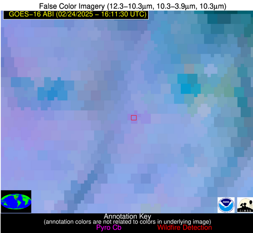
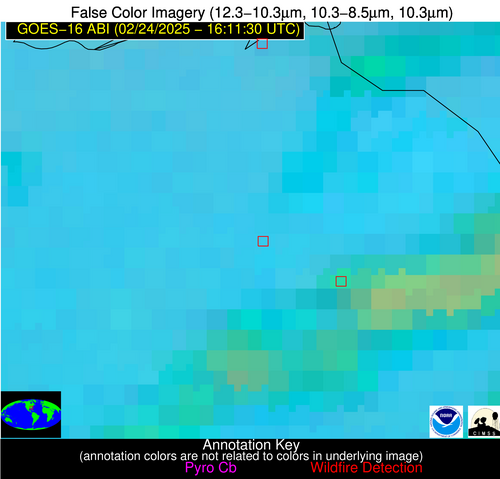
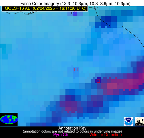
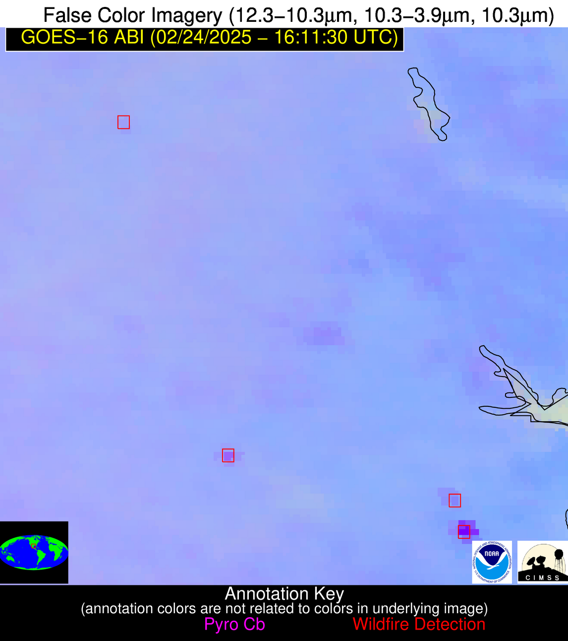
Jan 2026: Due to an ongoing data center cooling system construction project, NGFS data outages may occur with little or no notice. Bitterly cold air in Madison Jan 22-24 increases risk of outages.
Wildfire Alert Report
| Date: | 2025-02-24 |
|---|---|
| Time: | 16:11:17 |
| Production Date and Time: | 2025-02-24 16:16:11 UTC |
| Primary Instrument: | GOES-16 ABI |
| Wmo Spacecraft Id: | 152 |
| Location/orbit: | GEO |
| L1 File: | OR_ABI-L1b-RadC-M6C14_G16_s20250551611173_e20250551613546_c20250551614047.nc |
| L1 File(s) - Temporal | OR_ABI-L1b-RadC-M6C14_G16_s20250551606173_e20250551608546_c20250551609045.nc |
| Number Of Thermal Anomaly Alerts: | 5 |
Possible Wildfire
| Basic Information | |
|---|---|
| State/Province(s) | OK |
| Country/Countries | United States |
| County/Locality(s) | Kay County, OK |
| NWS WFO | Norman OK |
| Identification Method | Enhanced Contextual (Clear) |
| Mean Object Date/Time | 2025-02-24 16:11:50UTC |
| Radiative Center (Lat, Lon): | 36.688332°, -97.062500° |
| Nearby Counties (meeting alert criteria): |
|
| Total Radiative Power Anomaly | n/a |
| Total Radiative Power | 11.08 MW |
| Map: | |
| Additional Information | |
| Alert Status | New Feature |
| Type of Event | Nominal Risk |
| Event Priority Ranking | 4 |
| Maximum Observed BT (3.9 um) | 298.04 K |
| Observed - Background BT (3.9 um) | 3.80 K |
| BT Anomaly (3.9 um) | 3.80 K |
| Maximum Observed - Clear RTM BT (3.9 um) | 14.01 K |
| Maximum Observed BTD (3.9-10/11/12 um) | 12.70 K |
| Observed - Background BTD (3.9-10/11/12 um) | 3.47 K |
| BTD Anomaly (3.9-10/11/12 um) | 3.38 K |
| Similar Pixel Count | 20 |
| BT Time Tendency (3.9 um) | 1.10 K |
| Image Interval | 5.00 minutes |
| Fraction of Surrounding LWIR Pixels that are Colder | 0.76 |
| Fraction of Surrounding Red Channel Pixels that are Brighter | 1.00 |
| Maximum Radiative Power | 11.08 MW |
| Maximum Radiative Power Uncertainty | 0.00 MW |
| Total Radiative Power Uncertainty | 0.00 MW |
| Mean Viewing Angle | 48.60° |
| Mean Solar Zenith Angle | 58.40° |
| Mean Glint Angle | 106.30° |
| Water Fraction | 0.00 |
| Total Pixel Area | 6.10 km2 |
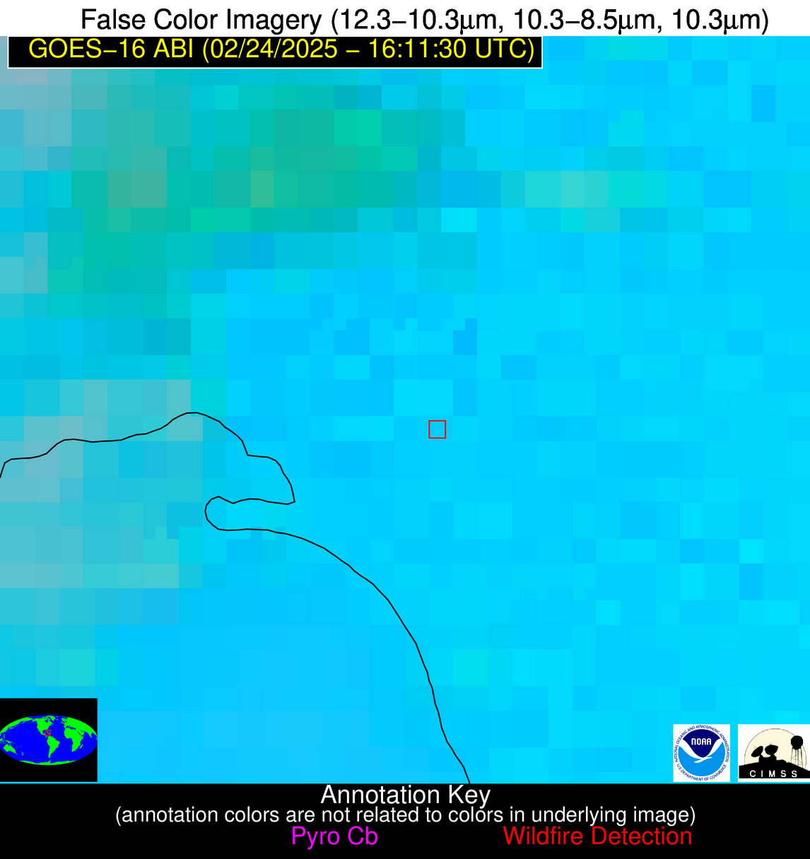
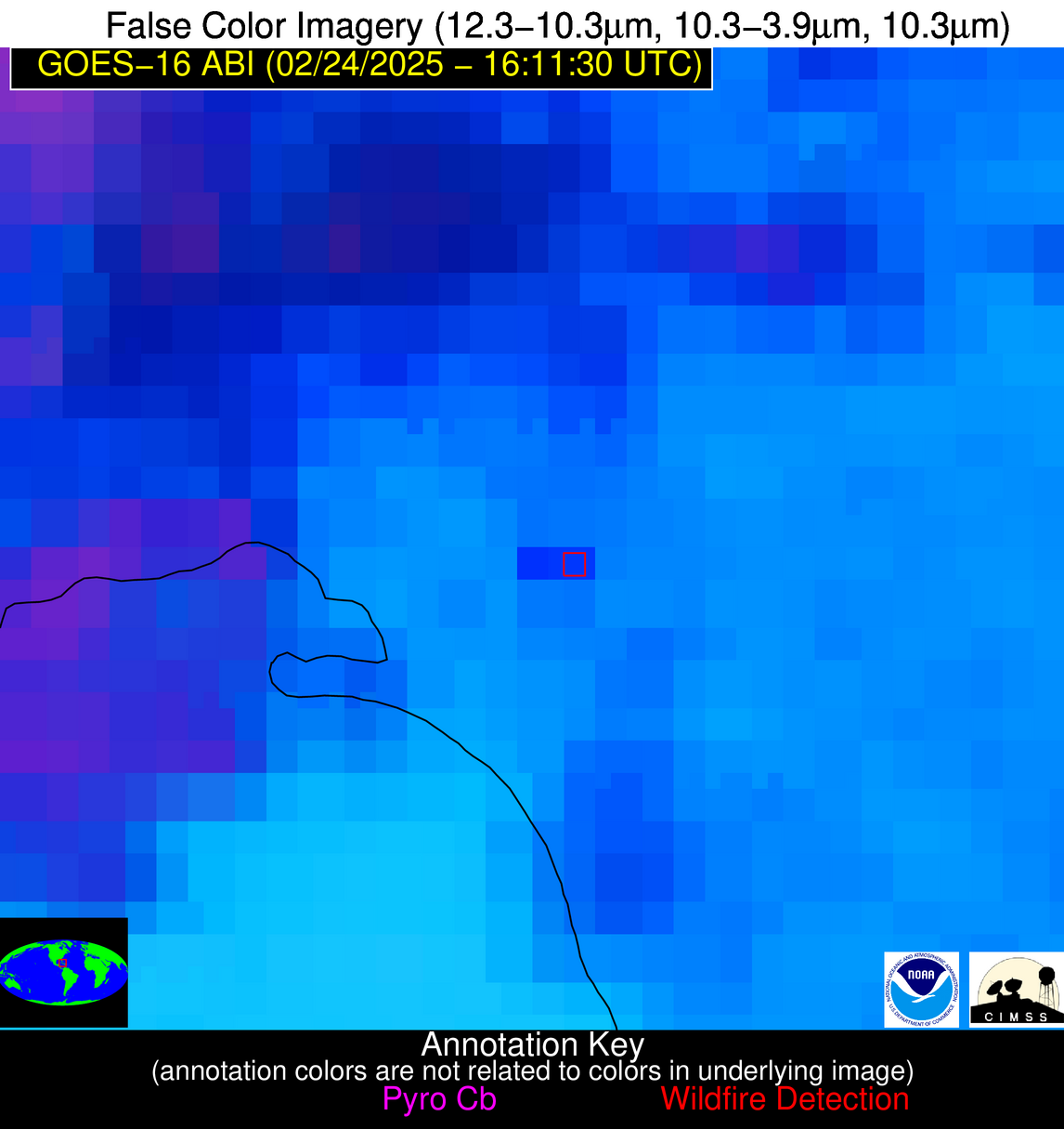
| Latest Satellite Imagery: | |
| View all event imagery » | |
Possible Wildfire
| Basic Information | |
|---|---|
| State/Province(s) | GA |
| Country/Countries | United States |
| County/Locality(s) | Columbia County, GA |
| NWS WFO | Columbia SC |
| Identification Method | Enhanced Contextual (Clear) |
| Mean Object Date/Time | 2025-02-24 16:12:22UTC |
| Radiative Center (Lat, Lon): | 33.399445°, -82.278053° |
| Nearby Counties (meeting alert criteria): |
|
| Total Radiative Power Anomaly | n/a |
| Total Radiative Power | 12.54 MW |
| Map: | |
| Additional Information | |
| Alert Status | New Feature |
| Type of Event | Nominal Risk |
| Event Priority Ranking | 4 |
| Maximum Observed BT (3.9 um) | 300.88 K |
| Observed - Background BT (3.9 um) | 5.08 K |
| BT Anomaly (3.9 um) | 2.55 K |
| Maximum Observed - Clear RTM BT (3.9 um) | 14.75 K |
| Maximum Observed BTD (3.9-10/11/12 um) | 14.67 K |
| Observed - Background BTD (3.9-10/11/12 um) | 4.44 K |
| BTD Anomaly (3.9-10/11/12 um) | 2.64 K |
| Similar Pixel Count | 19 |
| BT Time Tendency (3.9 um) | 2.40 K |
| Image Interval | 5.00 minutes |
| Fraction of Surrounding LWIR Pixels that are Colder | 0.90 |
| Fraction of Surrounding Red Channel Pixels that are Brighter | 1.00 |
| Maximum Radiative Power | 12.54 MW |
| Maximum Radiative Power Uncertainty | 0.00 MW |
| Total Radiative Power Uncertainty | 0.00 MW |
| Mean Viewing Angle | 39.80° |
| Mean Solar Zenith Angle | 48.40° |
| Mean Glint Angle | 86.80° |
| Water Fraction | 0.00 |
| Total Pixel Area | 5.20 km2 |
| Latest Satellite Imagery: | |
| View all event imagery » | |
Possible Wildfire
| Basic Information | |
|---|---|
| State/Province(s) | TX |
| Country/Countries | United States |
| County/Locality(s) | McMullen County, TX |
| NWS WFO | Corpus Christi TX |
| Identification Method | Enhanced Contextual (Clear) |
| Mean Object Date/Time | 2025-02-24 16:12:49UTC |
| Radiative Center (Lat, Lon): | 28.090555°, -98.634445° |
| Nearby Counties (meeting alert criteria): |
|
| Total Radiative Power Anomaly | n/a |
| Total Radiative Power | 5.76 MW |
| Map: | |
| Additional Information | |
| Alert Status | New Feature |
| Type of Event | Nominal Risk |
| Event Priority Ranking | 4 |
| Maximum Observed BT (3.9 um) | 299.96 K |
| Observed - Background BT (3.9 um) | 2.37 K |
| BT Anomaly (3.9 um) | 4.56 K |
| Maximum Observed - Clear RTM BT (3.9 um) | 8.32 K |
| Maximum Observed BTD (3.9-10/11/12 um) | 9.32 K |
| Observed - Background BTD (3.9-10/11/12 um) | 2.12 K |
| BTD Anomaly (3.9-10/11/12 um) | 6.05 K |
| Similar Pixel Count | 25 |
| BT Time Tendency (3.9 um) | 0.90 K |
| Image Interval | 5.00 minutes |
| Fraction of Surrounding LWIR Pixels that are Colder | 0.68 |
| Fraction of Surrounding Red Channel Pixels that are Brighter | 1.00 |
| Maximum Radiative Power | 5.76 MW |
| Maximum Radiative Power Uncertainty | 0.00 MW |
| Total Radiative Power Uncertainty | 0.00 MW |
| Mean Viewing Angle | 41.90° |
| Mean Solar Zenith Angle | 53.60° |
| Mean Glint Angle | 95.20° |
| Water Fraction | 0.00 |
| Total Pixel Area | 5.40 km2 |
| Latest Satellite Imagery: | |
| View all event imagery » | |
Possible Wildfire
| Basic Information | |
|---|---|
| State/Province(s) | TX |
| Country/Countries | United States |
| County/Locality(s) | Kenedy County, TX |
| NWS WFO | Brownsville TX |
| Identification Method | Enhanced Contextual (Clear) |
| Mean Object Date/Time | 2025-02-24 16:12:50UTC |
| Radiative Center (Lat, Lon): | 27.028610°, -97.833611° |
| Nearby Counties (meeting alert criteria): |
|
| Total Radiative Power Anomaly | n/a |
| Total Radiative Power | 15.33 MW |
| Map: | |
| Additional Information | |
| Alert Status | New Feature |
| Type of Event | Nominal Risk |
| Event Priority Ranking | 4 |
| Maximum Observed BT (3.9 um) | 306.84 K |
| Observed - Background BT (3.9 um) | 6.11 K |
| BT Anomaly (3.9 um) | 1.89 K |
| Maximum Observed - Clear RTM BT (3.9 um) | 12.72 K |
| Maximum Observed BTD (3.9-10/11/12 um) | 13.38 K |
| Observed - Background BTD (3.9-10/11/12 um) | 4.91 K |
| BTD Anomaly (3.9-10/11/12 um) | 1.75 K |
| Similar Pixel Count | 7 |
| BT Time Tendency (3.9 um) | 4.10 K |
| Image Interval | 5.00 minutes |
| Fraction of Surrounding LWIR Pixels that are Colder | 0.93 |
| Fraction of Surrounding Red Channel Pixels that are Brighter | 1.00 |
| Maximum Radiative Power | 15.33 MW |
| Maximum Radiative Power Uncertainty | 0.00 MW |
| Total Radiative Power Uncertainty | 0.00 MW |
| Mean Viewing Angle | 40.50° |
| Mean Solar Zenith Angle | 52.40° |
| Mean Glint Angle | 92.50° |
| Water Fraction | 0.00 |
| Total Pixel Area | 5.30 km2 |
| Latest Satellite Imagery: | |
| View all event imagery » | |
Possible Wildfire
| Basic Information | |
|---|---|
| State/Province(s) | Unknown |
| Country/Countries | Cuba |
| County/Locality(s) | Unknown, Unknown |
| NWS WFO | N/A |
| Identification Method | Enhanced Contextual (Cloud) |
| Mean Object Date/Time | 2025-02-24 16:13:22UTC |
| Radiative Center (Lat, Lon): | 21.629444°, -78.587776° |
| Nearby Counties (meeting alert criteria): |
|
| Total Radiative Power Anomaly | n/a |
| Total Radiative Power | 103.20 MW |
| Map: | |
| Additional Information | |
| Alert Status | New Feature |
| Type of Event | Nominal Risk |
| Event Priority Ranking | 4 |
| Maximum Observed BT (3.9 um) | 324.25 K |
| Observed - Background BT (3.9 um) | 14.16 K |
| BT Anomaly (3.9 um) | 7.57 K |
| Maximum Observed - Clear RTM BT (3.9 um) | 21.05 K |
| Maximum Observed BTD (3.9-10/11/12 um) | 30.95 K |
| Observed - Background BTD (3.9-10/11/12 um) | 12.94 K |
| BTD Anomaly (3.9-10/11/12 um) | 7.48 K |
| Similar Pixel Count | 0 |
| BT Time Tendency (3.9 um) | 10.40 K |
| Image Interval | 5.00 minutes |
| Fraction of Surrounding LWIR Pixels that are Colder | 1.00 |
| Fraction of Surrounding Red Channel Pixels that are Brighter | 0.58 |
| Maximum Radiative Power | 53.43 MW |
| Maximum Radiative Power Uncertainty | 0.00 MW |
| Total Radiative Power Uncertainty | 0.00 MW |
| Mean Viewing Angle | 25.70° |
| Mean Solar Zenith Angle | 36.60° |
| Mean Glint Angle | 61.00° |
| Water Fraction | 0.00 |
| Total Pixel Area | 8.90 km2 |
| Latest Satellite Imagery: | |
| View all event imagery » | |

