Jan 2026: Due to an ongoing data center cooling system construction project, NGFS data outages may occur with little or no notice. Bitterly cold air in Madison Jan 22-24 increases risk of outages.
Wildfire Alert Report
| Date: | 2025-02-20 |
|---|---|
| Time: | 20:01:17 |
| Production Date and Time: | 2025-02-20 20:05:57 UTC |
| Primary Instrument: | GOES-18 ABI |
| Wmo Spacecraft Id: | 665 |
| Location/orbit: | GEO |
| L1 File: | OR_ABI-L1b-RadC-M6C14_G18_s20250512001175_e20250512003548_c20250512004045.nc |
| L1 File(s) - Temporal | OR_ABI-L1b-RadC-M6C14_G18_s20250511956175_e20250511958548_c20250511959045.nc |
| Number Of Thermal Anomaly Alerts: | 3 |
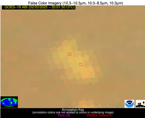
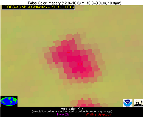
Possible Wildfire
| Basic Information | |
|---|---|
| State/Province(s) | SD |
| Country/Countries | United States |
| County/Locality(s) | Meade County, SD |
| NWS WFO | Rapid City SD |
| Identification Method | Enhanced Contextual (Cloud) |
| Mean Object Date/Time | 2025-02-20 20:01:24UTC |
| Radiative Center (Lat, Lon): | 44.797501°, -102.784721° |
| Nearby Counties (meeting alert criteria): |
|
| Total Radiative Power Anomaly | n/a |
| Total Radiative Power | 8.92 MW |
| Map: | |
| Additional Information | |
| Alert Status | New Feature |
| Type of Event | Nominal Risk |
| Event Priority Ranking | 4 |
| Maximum Observed BT (3.9 um) | 289.21 K |
| Observed - Background BT (3.9 um) | 19.92 K |
| BT Anomaly (3.9 um) | 4.26 K |
| Maximum Observed - Clear RTM BT (3.9 um) | 29.17 K |
| Maximum Observed BTD (3.9-10/11/12 um) | 26.96 K |
| Observed - Background BTD (3.9-10/11/12 um) | 19.39 K |
| BTD Anomaly (3.9-10/11/12 um) | 4.27 K |
| Similar Pixel Count | 0 |
| BT Time Tendency (3.9 um) | 9.20 K |
| Image Interval | 5.00 minutes |
| Fraction of Surrounding LWIR Pixels that are Colder | 0.87 |
| Fraction of Surrounding Red Channel Pixels that are Brighter | 0.89 |
| Maximum Radiative Power | 8.92 MW |
| Maximum Radiative Power Uncertainty | 0.00 MW |
| Total Radiative Power Uncertainty | 0.00 MW |
| Mean Viewing Angle | 62.10° |
| Mean Solar Zenith Angle | 57.50° |
| Mean Glint Angle | 114.20° |
| Water Fraction | 0.00 |
| Total Pixel Area | 8.50 km2 |
| Latest Satellite Imagery: | |
| View all event imagery » | |
Possible Wildfire
| Basic Information | |
|---|---|
| State/Province(s) | SD |
| Country/Countries | United States |
| County/Locality(s) | Meade County, SD |
| NWS WFO | Rapid City SD |
| Identification Method | Enhanced Contextual (Cloud) |
| Mean Object Date/Time | 2025-02-20 20:01:24UTC |
| Radiative Center (Lat, Lon): | 44.740833°, -102.724724° |
| Nearby Counties (meeting alert criteria): |
|
| Total Radiative Power Anomaly | n/a |
| Total Radiative Power | 16.84 MW |
| Map: | |
| Additional Information | |
| Alert Status | New Feature |
| Type of Event | Nominal Risk |
| Event Priority Ranking | 4 |
| Maximum Observed BT (3.9 um) | 290.91 K |
| Observed - Background BT (3.9 um) | 21.59 K |
| BT Anomaly (3.9 um) | 4.85 K |
| Maximum Observed - Clear RTM BT (3.9 um) | 30.87 K |
| Maximum Observed BTD (3.9-10/11/12 um) | 28.65 K |
| Observed - Background BTD (3.9-10/11/12 um) | 21.06 K |
| BTD Anomaly (3.9-10/11/12 um) | 4.89 K |
| Similar Pixel Count | 0 |
| BT Time Tendency (3.9 um) | 8.60 K |
| Image Interval | 5.00 minutes |
| Fraction of Surrounding LWIR Pixels that are Colder | 0.82 |
| Fraction of Surrounding Red Channel Pixels that are Brighter | 0.94 |
| Maximum Radiative Power | 16.84 MW |
| Maximum Radiative Power Uncertainty | 0.00 MW |
| Total Radiative Power Uncertainty | 0.00 MW |
| Mean Viewing Angle | 62.10° |
| Mean Solar Zenith Angle | 57.50° |
| Mean Glint Angle | 114.10° |
| Water Fraction | 0.00 |
| Total Pixel Area | 8.50 km2 |
| Latest Satellite Imagery: | |
| View all event imagery » | |
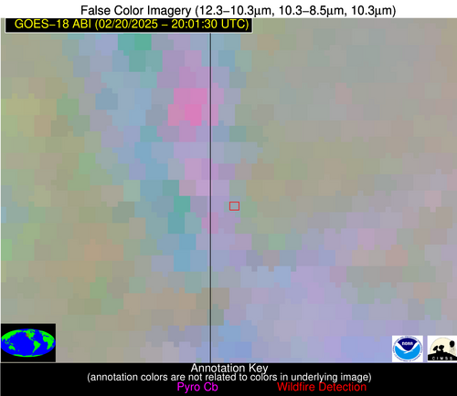
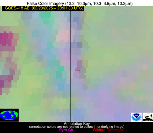
Possible Wildfire
| Basic Information | |
|---|---|
| State/Province(s) | NV |
| Country/Countries | United States |
| County/Locality(s) | Washoe County, NV |
| NWS WFO | Reno NV |
| Identification Method | Enhanced Contextual (Clear) |
| Mean Object Date/Time | 2025-02-20 20:01:53UTC |
| Radiative Center (Lat, Lon): | 41.246113°, -119.964165° |
| Nearby Counties (meeting alert criteria): |
|
| Total Radiative Power Anomaly | n/a |
| Total Radiative Power | 27.05 MW |
| Map: | |
| Additional Information | |
| Alert Status | New Feature |
| Type of Event | Nominal Risk |
| Event Priority Ranking | 4 |
| Maximum Observed BT (3.9 um) | 290.91 K |
| Observed - Background BT (3.9 um) | 6.80 K |
| BT Anomaly (3.9 um) | 3.04 K |
| Maximum Observed - Clear RTM BT (3.9 um) | 17.56 K |
| Maximum Observed BTD (3.9-10/11/12 um) | 13.22 K |
| Observed - Background BTD (3.9-10/11/12 um) | 6.23 K |
| BTD Anomaly (3.9-10/11/12 um) | 4.16 K |
| Similar Pixel Count | 7 |
| BT Time Tendency (3.9 um) | 1.20 K |
| Image Interval | 5.00 minutes |
| Fraction of Surrounding LWIR Pixels that are Colder | 0.62 |
| Fraction of Surrounding Red Channel Pixels that are Brighter | 0.63 |
| Maximum Radiative Power | 13.60 MW |
| Maximum Radiative Power Uncertainty | 0.00 MW |
| Total Radiative Power Uncertainty | 0.00 MW |
| Mean Viewing Angle | 51.00° |
| Mean Solar Zenith Angle | 52.60° |
| Mean Glint Angle | 99.20° |
| Water Fraction | 0.00 |
| Total Pixel Area | 12.70 km2 |
| Latest Satellite Imagery: | |
| View all event imagery » | |


