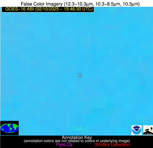
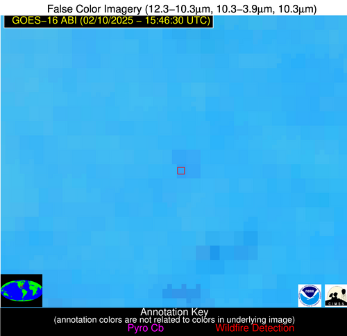
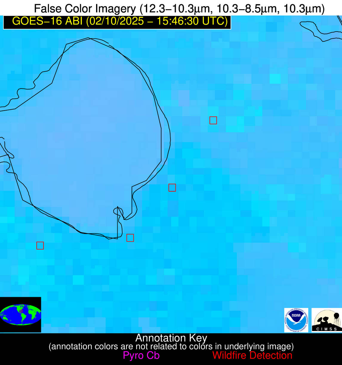
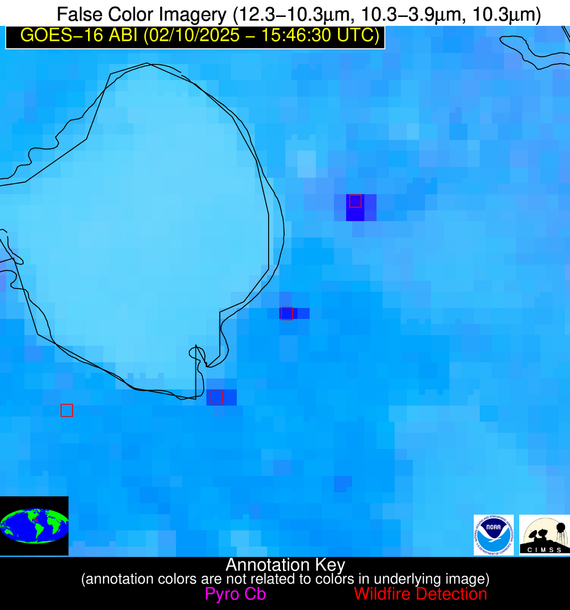
Jan 2026: Due to an ongoing data center cooling system construction project, NGFS data outages may occur with little or no notice. Bitterly cold air in Madison Jan 22-24 increases risk of outages.
Wildfire Alert Report
| Date: | 2025-02-10 |
|---|---|
| Time: | 15:46:17 |
| Production Date and Time: | 2025-02-10 15:51:00 UTC |
| Primary Instrument: | GOES-16 ABI |
| Wmo Spacecraft Id: | 152 |
| Location/orbit: | GEO |
| L1 File: | OR_ABI-L1b-RadC-M6C14_G16_s20250411546173_e20250411548546_c20250411549043.nc |
| L1 File(s) - Temporal | OR_ABI-L1b-RadC-M6C14_G16_s20250411541173_e20250411543546_c20250411543586.nc |
| Number Of Thermal Anomaly Alerts: | 6 |
Possible Wildfire
| Basic Information | |
|---|---|
| State/Province(s) | GA |
| Country/Countries | United States |
| County/Locality(s) | Johnson County, GA |
| NWS WFO | Peachtree City GA |
| Identification Method | Enhanced Contextual (Clear) |
| Mean Object Date/Time | 2025-02-10 15:47:22UTC |
| Radiative Center (Lat, Lon): | 32.736668°, -82.639168° |
| Nearby Counties (meeting alert criteria): |
|
| Total Radiative Power Anomaly | n/a |
| Total Radiative Power | 5.93 MW |
| Map: | |
| Additional Information | |
| Alert Status | New Feature |
| Type of Event | Nominal Risk |
| Event Priority Ranking | 4 |
| Maximum Observed BT (3.9 um) | 299.45 K |
| Observed - Background BT (3.9 um) | 3.40 K |
| BT Anomaly (3.9 um) | 4.73 K |
| Maximum Observed - Clear RTM BT (3.9 um) | 10.49 K |
| Maximum Observed BTD (3.9-10/11/12 um) | 11.09 K |
| Observed - Background BTD (3.9-10/11/12 um) | 2.72 K |
| BTD Anomaly (3.9-10/11/12 um) | 4.33 K |
| Similar Pixel Count | 25 |
| BT Time Tendency (3.9 um) | 2.40 K |
| Image Interval | 5.00 minutes |
| Fraction of Surrounding LWIR Pixels that are Colder | 0.99 |
| Fraction of Surrounding Red Channel Pixels that are Brighter | 1.00 |
| Maximum Radiative Power | 5.93 MW |
| Maximum Radiative Power Uncertainty | 0.00 MW |
| Total Radiative Power Uncertainty | 0.00 MW |
| Mean Viewing Angle | 39.10° |
| Mean Solar Zenith Angle | 55.10° |
| Mean Glint Angle | 92.00° |
| Water Fraction | 0.00 |
| Total Pixel Area | 5.20 km2 |
| Latest Satellite Imagery: | |
| View all event imagery » | |
Possible Wildfire
| Basic Information | |
|---|---|
| State/Province(s) | FL |
| Country/Countries | United States |
| County/Locality(s) | Martin County, FL |
| NWS WFO | Melbourne FL |
| Identification Method | Enhanced Contextual (Cloud) |
| Mean Object Date/Time | 2025-02-10 15:47:52UTC |
| Radiative Center (Lat, Lon): | 26.987499°, -80.513885° |
| Nearby Counties (meeting alert criteria): |
|
| Total Radiative Power Anomaly | n/a |
| Total Radiative Power | 314.21 MW |
| Map: | |
| Additional Information | |
| Alert Status | New Feature |
| Type of Event | Nominal Risk |
| Event Priority Ranking | 4 |
| Maximum Observed BT (3.9 um) | 334.39 K |
| Observed - Background BT (3.9 um) | 31.62 K |
| BT Anomaly (3.9 um) | 10.90 K |
| Maximum Observed - Clear RTM BT (3.9 um) | 34.91 K |
| Maximum Observed BTD (3.9-10/11/12 um) | 40.93 K |
| Observed - Background BTD (3.9-10/11/12 um) | 32.14 K |
| BTD Anomaly (3.9-10/11/12 um) | 14.90 K |
| Similar Pixel Count | 0 |
| BT Time Tendency (3.9 um) | 25.60 K |
| Image Interval | 5.00 minutes |
| Fraction of Surrounding LWIR Pixels that are Colder | 0.26 |
| Fraction of Surrounding Red Channel Pixels that are Brighter | 0.10 |
| Maximum Radiative Power | 206.15 MW |
| Maximum Radiative Power Uncertainty | 0.00 MW |
| Total Radiative Power Uncertainty | 0.00 MW |
| Mean Viewing Angle | 32.20° |
| Mean Solar Zenith Angle | 49.30° |
| Mean Glint Angle | 79.40° |
| Water Fraction | 0.00 |
| Total Pixel Area | 14.20 km2 |
| Latest Satellite Imagery: | |
| View all event imagery » | |
Possible Wildfire
| Basic Information | |
|---|---|
| State/Province(s) | FL |
| Country/Countries | United States |
| County/Locality(s) | Palm Beach County, FL |
| NWS WFO | Miami FL |
| Identification Method | Enhanced Contextual (Cloud) |
| Mean Object Date/Time | 2025-02-10 15:47:52UTC |
| Radiative Center (Lat, Lon): | 26.685833°, -80.703888° |
| Nearby Counties (meeting alert criteria): |
|
| Total Radiative Power Anomaly | n/a |
| Total Radiative Power | 92.73 MW |
| Map: | |
| Additional Information | |
| Alert Status | New Feature |
| Type of Event | Nominal Risk |
| Event Priority Ranking | 4 |
| Maximum Observed BT (3.9 um) | 318.89 K |
| Observed - Background BT (3.9 um) | 10.59 K |
| BT Anomaly (3.9 um) | 3.91 K |
| Maximum Observed - Clear RTM BT (3.9 um) | 18.57 K |
| Maximum Observed BTD (3.9-10/11/12 um) | 24.24 K |
| Observed - Background BTD (3.9-10/11/12 um) | 11.36 K |
| BTD Anomaly (3.9-10/11/12 um) | 4.97 K |
| Similar Pixel Count | 0 |
| BT Time Tendency (3.9 um) | 11.00 K |
| Image Interval | 5.00 minutes |
| Fraction of Surrounding LWIR Pixels that are Colder | 0.38 |
| Fraction of Surrounding Red Channel Pixels that are Brighter | 0.69 |
| Maximum Radiative Power | 48.16 MW |
| Maximum Radiative Power Uncertainty | 0.00 MW |
| Total Radiative Power Uncertainty | 0.00 MW |
| Mean Viewing Angle | 31.90° |
| Mean Solar Zenith Angle | 49.20° |
| Mean Glint Angle | 79.10° |
| Water Fraction | 0.00 |
| Total Pixel Area | 9.40 km2 |
| Latest Satellite Imagery: | |
| View all event imagery » | |
Possible Wildfire
| Basic Information | |
|---|---|
| State/Province(s) | Unknown |
| Country/Countries | Cuba |
| County/Locality(s) | Unknown, Unknown |
| NWS WFO | N/A |
| Identification Method | Enhanced Contextual (Clear) |
| Mean Object Date/Time | 2025-02-10 15:48:22UTC |
| Radiative Center (Lat, Lon): | 21.899445°, -79.761948° |
| Nearby Counties (meeting alert criteria): |
|
| Total Radiative Power Anomaly | n/a |
| Total Radiative Power | 9.77 MW |
| Map: | |
| Additional Information | |
| Alert Status | New Feature |
| Type of Event | Nominal Risk |
| Event Priority Ranking | 4 |
| Maximum Observed BT (3.9 um) | 308.86 K |
| Observed - Background BT (3.9 um) | 4.38 K |
| BT Anomaly (3.9 um) | 2.75 K |
| Maximum Observed - Clear RTM BT (3.9 um) | 11.68 K |
| Maximum Observed BTD (3.9-10/11/12 um) | 13.61 K |
| Observed - Background BTD (3.9-10/11/12 um) | 4.10 K |
| BTD Anomaly (3.9-10/11/12 um) | 2.95 K |
| Similar Pixel Count | 12 |
| BT Time Tendency (3.9 um) | 4.90 K |
| Image Interval | 5.00 minutes |
| Fraction of Surrounding LWIR Pixels that are Colder | 0.81 |
| Fraction of Surrounding Red Channel Pixels that are Brighter | 0.79 |
| Maximum Radiative Power | 9.77 MW |
| Maximum Radiative Power Uncertainty | 0.00 MW |
| Total Radiative Power Uncertainty | 0.00 MW |
| Mean Viewing Angle | 26.30° |
| Mean Solar Zenith Angle | 44.90° |
| Mean Glint Angle | 69.20° |
| Water Fraction | 0.00 |
| Total Pixel Area | 4.50 km2 |
| Latest Satellite Imagery: | |
| View all event imagery » | |
Possible Wildfire
| Basic Information | |
|---|---|
| State/Province(s) | Unknown |
| Country/Countries | Cuba |
| County/Locality(s) | Unknown, Unknown |
| NWS WFO | N/A |
| Identification Method | Enhanced Contextual (Cloud) |
| Mean Object Date/Time | 2025-02-10 15:48:22UTC |
| Radiative Center (Lat, Lon): | 21.283333°, -78.243889° |
| Nearby Counties (meeting alert criteria): |
|
| Total Radiative Power Anomaly | n/a |
| Total Radiative Power | 53.61 MW |
| Map: | |
| Additional Information | |
| Alert Status | New Feature |
| Type of Event | Nominal Risk |
| Event Priority Ranking | 4 |
| Maximum Observed BT (3.9 um) | 321.55 K |
| Observed - Background BT (3.9 um) | 14.80 K |
| BT Anomaly (3.9 um) | 9.89 K |
| Maximum Observed - Clear RTM BT (3.9 um) | 20.96 K |
| Maximum Observed BTD (3.9-10/11/12 um) | 25.31 K |
| Observed - Background BTD (3.9-10/11/12 um) | 14.97 K |
| BTD Anomaly (3.9-10/11/12 um) | 6.69 K |
| Similar Pixel Count | 0 |
| BT Time Tendency (3.9 um) | 11.10 K |
| Image Interval | 5.00 minutes |
| Fraction of Surrounding LWIR Pixels that are Colder | 0.41 |
| Fraction of Surrounding Red Channel Pixels that are Brighter | 0.29 |
| Maximum Radiative Power | 53.61 MW |
| Maximum Radiative Power Uncertainty | 0.00 MW |
| Total Radiative Power Uncertainty | 0.00 MW |
| Mean Viewing Angle | 25.30° |
| Mean Solar Zenith Angle | 43.50° |
| Mean Glint Angle | 66.60° |
| Water Fraction | 0.00 |
| Total Pixel Area | 4.40 km2 |
| Latest Satellite Imagery: | |
| View all event imagery » | |
Possible Wildfire
| Basic Information | |
|---|---|
| State/Province(s) | Unknown |
| Country/Countries | Cuba |
| County/Locality(s) | Unknown, Unknown |
| NWS WFO | N/A |
| Identification Method | Enhanced Contextual (Clear) |
| Mean Object Date/Time | 2025-02-10 15:48:22UTC |
| Radiative Center (Lat, Lon): | 21.161667°, -78.181946° |
| Nearby Counties (meeting alert criteria): |
|
| Total Radiative Power Anomaly | n/a |
| Total Radiative Power | 10.49 MW |
| Map: | |
| Additional Information | |
| Alert Status | New Feature |
| Type of Event | Nominal Risk |
| Event Priority Ranking | 4 |
| Maximum Observed BT (3.9 um) | 311.10 K |
| Observed - Background BT (3.9 um) | 4.40 K |
| BT Anomaly (3.9 um) | 2.53 K |
| Maximum Observed - Clear RTM BT (3.9 um) | 10.27 K |
| Maximum Observed BTD (3.9-10/11/12 um) | 11.12 K |
| Observed - Background BTD (3.9-10/11/12 um) | 3.43 K |
| BTD Anomaly (3.9-10/11/12 um) | 2.46 K |
| Similar Pixel Count | 18 |
| BT Time Tendency (3.9 um) | 3.10 K |
| Image Interval | 5.00 minutes |
| Fraction of Surrounding LWIR Pixels that are Colder | 0.88 |
| Fraction of Surrounding Red Channel Pixels that are Brighter | 0.95 |
| Maximum Radiative Power | 10.49 MW |
| Maximum Radiative Power Uncertainty | 0.00 MW |
| Total Radiative Power Uncertainty | 0.00 MW |
| Mean Viewing Angle | 25.10° |
| Mean Solar Zenith Angle | 43.40° |
| Mean Glint Angle | 66.30° |
| Water Fraction | 0.00 |
| Total Pixel Area | 4.40 km2 |
| Latest Satellite Imagery: | |
| View all event imagery » | |
