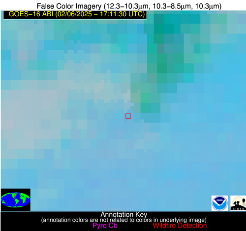
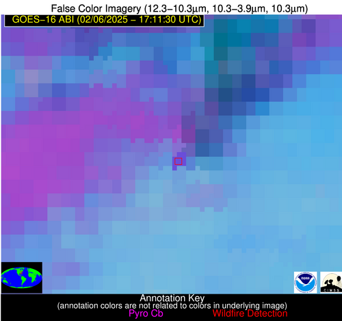
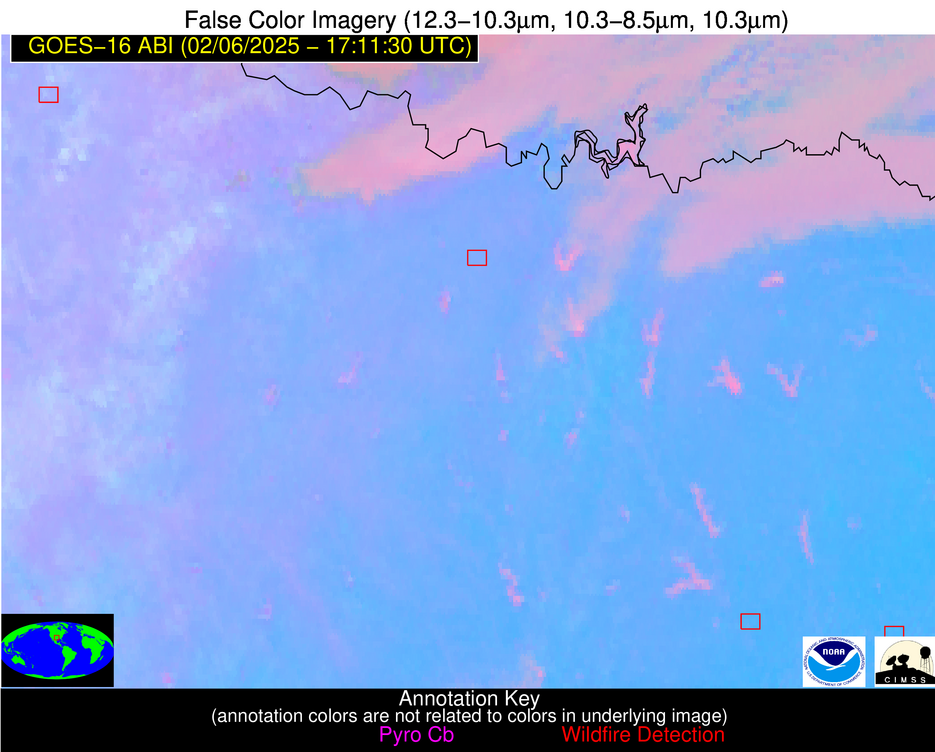
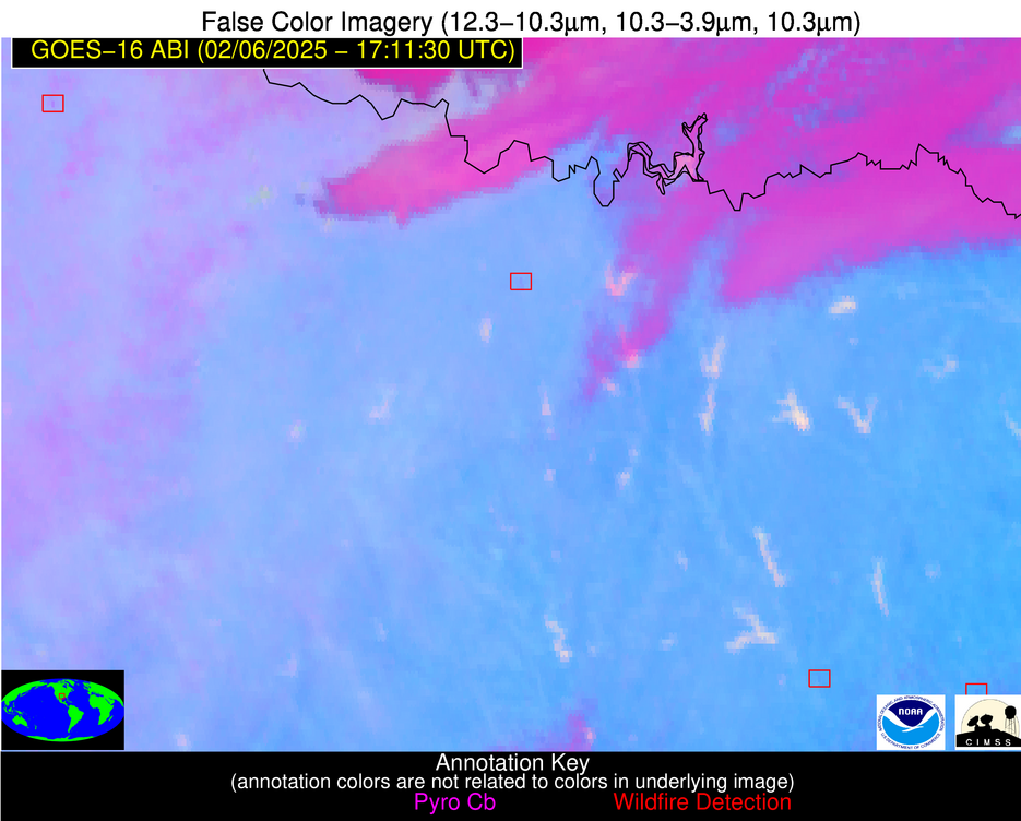
Wildfire Alert Report
| Date: | 2025-02-06 |
|---|---|
| Time: | 17:11:17 |
| Production Date and Time: | 2025-02-06 17:16:05 UTC |
| Primary Instrument: | GOES-16 ABI |
| Wmo Spacecraft Id: | 152 |
| Location/orbit: | GEO |
| L1 File: | OR_ABI-L1b-RadC-M6C14_G16_s20250371711171_e20250371713544_c20250371714038.nc |
| L1 File(s) - Temporal | OR_ABI-L1b-RadC-M6C14_G16_s20250371706171_e20250371708544_c20250371709026.nc |
| Number Of Thermal Anomaly Alerts: | 8 |
Possible Wildfire
| Basic Information | |
|---|---|
| State/Province(s) | NC |
| Country/Countries | United States |
| County/Locality(s) | Montgomery County, NC |
| NWS WFO | Raleigh NC |
| Identification Method | Enhanced Contextual (Clear) |
| Mean Object Date/Time | 2025-02-06 17:12:22UTC |
| Radiative Center (Lat, Lon): | 35.299999°, -79.843887° |
| Nearby Counties (meeting alert criteria): |
|
| Total Radiative Power Anomaly | n/a |
| Total Radiative Power | 31.53 MW |
| Map: | |
| Additional Information | |
| Alert Status | New Feature |
| Type of Event | Nominal Risk |
| Event Priority Ranking | 4 |
| Maximum Observed BT (3.9 um) | 305.15 K |
| Observed - Background BT (3.9 um) | 9.67 K |
| BT Anomaly (3.9 um) | 2.70 K |
| Maximum Observed - Clear RTM BT (3.9 um) | 17.13 K |
| Maximum Observed BTD (3.9-10/11/12 um) | 21.63 K |
| Observed - Background BTD (3.9-10/11/12 um) | 9.73 K |
| BTD Anomaly (3.9-10/11/12 um) | 2.03 K |
| Similar Pixel Count | 11 |
| BT Time Tendency (3.9 um) | 7.20 K |
| Image Interval | 5.00 minutes |
| Fraction of Surrounding LWIR Pixels that are Colder | 0.56 |
| Fraction of Surrounding Red Channel Pixels that are Brighter | 0.98 |
| Maximum Radiative Power | 31.53 MW |
| Maximum Radiative Power Uncertainty | 0.00 MW |
| Total Radiative Power Uncertainty | 0.00 MW |
| Mean Viewing Angle | 41.50° |
| Mean Solar Zenith Angle | 51.30° |
| Mean Glint Angle | 92.80° |
| Water Fraction | 0.00 |
| Total Pixel Area | 5.30 km2 |
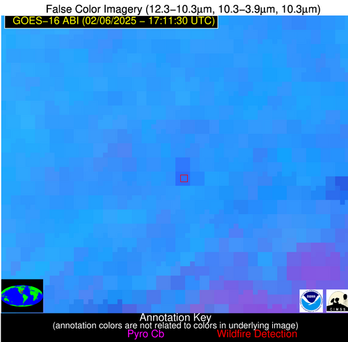
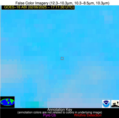
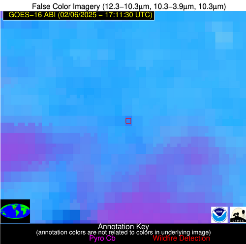
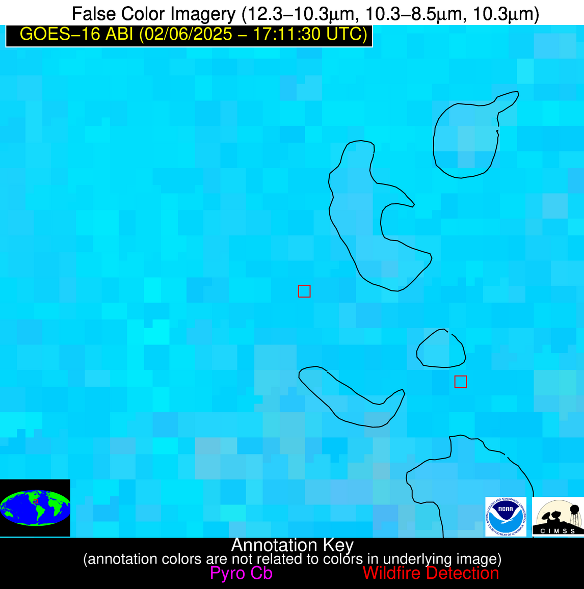
| Latest Satellite Imagery: | |
| View all event imagery » | |
Possible Wildfire
| Basic Information | |
|---|---|
| State/Province(s) | TX |
| Country/Countries | United States |
| County/Locality(s) | Cottle County, TX |
| NWS WFO | Lubbock TX |
| Identification Method | Enhanced Contextual (Clear) |
| Mean Object Date/Time | 2025-02-06 17:12:19UTC |
| Radiative Center (Lat, Lon): | 34.132778°, -100.475830° |
| Nearby Counties (meeting alert criteria): |
|
| Total Radiative Power Anomaly | n/a |
| Total Radiative Power | 16.71 MW |
| Map: | |
| Additional Information | |
| Alert Status | New Feature |
| Type of Event | Nominal Risk |
| Event Priority Ranking | 4 |
| Maximum Observed BT (3.9 um) | 311.16 K |
| Observed - Background BT (3.9 um) | 4.63 K |
| BT Anomaly (3.9 um) | 4.50 K |
| Maximum Observed - Clear RTM BT (3.9 um) | 12.60 K |
| Maximum Observed BTD (3.9-10/11/12 um) | 12.20 K |
| Observed - Background BTD (3.9-10/11/12 um) | 4.31 K |
| BTD Anomaly (3.9-10/11/12 um) | 5.27 K |
| Similar Pixel Count | 10 |
| BT Time Tendency (3.9 um) | 2.90 K |
| Image Interval | 5.00 minutes |
| Fraction of Surrounding LWIR Pixels that are Colder | 0.71 |
| Fraction of Surrounding Red Channel Pixels that are Brighter | 0.98 |
| Maximum Radiative Power | 16.71 MW |
| Maximum Radiative Power Uncertainty | 0.00 MW |
| Total Radiative Power Uncertainty | 0.00 MW |
| Mean Viewing Angle | 48.20° |
| Mean Solar Zenith Angle | 55.80° |
| Mean Glint Angle | 103.50° |
| Water Fraction | 0.00 |
| Total Pixel Area | 6.00 km2 |
| Latest Satellite Imagery: | |
| View all event imagery » | |
Possible Wildfire
| Basic Information | |
|---|---|
| State/Province(s) | TX |
| Country/Countries | United States |
| County/Locality(s) | Wise County, TX |
| NWS WFO | Fort Worth TX |
| Identification Method | Enhanced Contextual (Clear) |
| Mean Object Date/Time | 2025-02-06 17:12:20UTC |
| Radiative Center (Lat, Lon): | 33.411667°, -97.643333° |
| Nearby Counties (meeting alert criteria): |
|
| Total Radiative Power Anomaly | n/a |
| Total Radiative Power | 16.84 MW |
| Map: | |
| Additional Information | |
| Alert Status | New Feature |
| Type of Event | Nominal Risk, Known Incident: LBJ COMP 908 S RX (HIGH, tdiff=0.10021 days, Point) |
| Event Priority Ranking | 4 |
| Maximum Observed BT (3.9 um) | 305.43 K |
| Observed - Background BT (3.9 um) | 2.43 K |
| BT Anomaly (3.9 um) | 6.47 K |
| Maximum Observed - Clear RTM BT (3.9 um) | 8.50 K |
| Maximum Observed BTD (3.9-10/11/12 um) | 10.06 K |
| Observed - Background BTD (3.9-10/11/12 um) | 2.59 K |
| BTD Anomaly (3.9-10/11/12 um) | 10.95 K |
| Similar Pixel Count | 25 |
| BT Time Tendency (3.9 um) | 2.30 K |
| Image Interval | 5.00 minutes |
| Fraction of Surrounding LWIR Pixels that are Colder | 0.26 |
| Fraction of Surrounding Red Channel Pixels that are Brighter | 1.00 |
| Maximum Radiative Power | 9.30 MW |
| Maximum Radiative Power Uncertainty | 0.00 MW |
| Total Radiative Power Uncertainty | 0.00 MW |
| Mean Viewing Angle | 45.90° |
| Mean Solar Zenith Angle | 54.00° |
| Mean Glint Angle | 99.50° |
| Water Fraction | 0.00 |
| Total Pixel Area | 11.50 km2 |
| Latest Satellite Imagery: | |
| View all event imagery » | |
Possible Wildfire
| Basic Information | |
|---|---|
| State/Province(s) | TX |
| Country/Countries | United States |
| County/Locality(s) | Nacogdoches County, TX |
| NWS WFO | Shreveport LA |
| Identification Method | Enhanced Contextual (Clear) |
| Mean Object Date/Time | 2025-02-06 17:12:20UTC |
| Radiative Center (Lat, Lon): | 31.747499°, -94.885834° |
| Nearby Counties (meeting alert criteria): |
|
| Total Radiative Power Anomaly | n/a |
| Total Radiative Power | 9.57 MW |
| Map: | |
| Additional Information | |
| Alert Status | New Feature |
| Type of Event | Nominal Risk |
| Event Priority Ranking | 4 |
| Maximum Observed BT (3.9 um) | 303.91 K |
| Observed - Background BT (3.9 um) | 2.43 K |
| BT Anomaly (3.9 um) | 3.23 K |
| Maximum Observed - Clear RTM BT (3.9 um) | 9.45 K |
| Maximum Observed BTD (3.9-10/11/12 um) | 11.72 K |
| Observed - Background BTD (3.9-10/11/12 um) | 1.99 K |
| BTD Anomaly (3.9-10/11/12 um) | 1.94 K |
| Similar Pixel Count | 25 |
| BT Time Tendency (3.9 um) | 1.00 K |
| Image Interval | 5.00 minutes |
| Fraction of Surrounding LWIR Pixels that are Colder | 0.71 |
| Fraction of Surrounding Red Channel Pixels that are Brighter | 1.00 |
| Maximum Radiative Power | 9.57 MW |
| Maximum Radiative Power Uncertainty | 0.00 MW |
| Total Radiative Power Uncertainty | 0.00 MW |
| Mean Viewing Angle | 42.90° |
| Mean Solar Zenith Angle | 51.40° |
| Mean Glint Angle | 94.00° |
| Water Fraction | 0.00 |
| Total Pixel Area | 5.50 km2 |
| Latest Satellite Imagery: | |
| View all event imagery » | |
Possible Wildfire
| Basic Information | |
|---|---|
| State/Province(s) | MS |
| Country/Countries | United States |
| County/Locality(s) | Jefferson Davis County, MS |
| NWS WFO | Jackson MS |
| Identification Method | Enhanced Contextual (Clear) |
| Mean Object Date/Time | 2025-02-06 17:12:21UTC |
| Radiative Center (Lat, Lon): | 31.579721°, -89.806946° |
| Nearby Counties (meeting alert criteria): |
|
| Total Radiative Power Anomaly | n/a |
| Total Radiative Power | 36.46 MW |
| Map: | |
| Additional Information | |
| Alert Status | New Feature |
| Type of Event | Nominal Risk |
| Event Priority Ranking | 4 |
| Maximum Observed BT (3.9 um) | 308.38 K |
| Observed - Background BT (3.9 um) | 6.15 K |
| BT Anomaly (3.9 um) | 8.53 K |
| Maximum Observed - Clear RTM BT (3.9 um) | 15.29 K |
| Maximum Observed BTD (3.9-10/11/12 um) | 18.69 K |
| Observed - Background BTD (3.9-10/11/12 um) | 5.69 K |
| BTD Anomaly (3.9-10/11/12 um) | 4.81 K |
| Similar Pixel Count | 20 |
| BT Time Tendency (3.9 um) | 3.60 K |
| Image Interval | 5.00 minutes |
| Fraction of Surrounding LWIR Pixels that are Colder | 0.74 |
| Fraction of Surrounding Red Channel Pixels that are Brighter | 0.62 |
| Maximum Radiative Power | 21.28 MW |
| Maximum Radiative Power Uncertainty | 0.00 MW |
| Total Radiative Power Uncertainty | 0.00 MW |
| Mean Viewing Angle | 40.30° |
| Mean Solar Zenith Angle | 49.60° |
| Mean Glint Angle | 89.70° |
| Water Fraction | 0.00 |
| Total Pixel Area | 10.50 km2 |
| Latest Satellite Imagery: | |
| View all event imagery » | |
Possible Wildfire
| Basic Information | |
|---|---|
| State/Province(s) | FL |
| Country/Countries | United States |
| County/Locality(s) | Leon County, FL |
| NWS WFO | Tallahassee FL |
| Identification Method | Enhanced Contextual (Clear) |
| Mean Object Date/Time | 2025-02-06 17:12:21UTC |
| Radiative Center (Lat, Lon): | 30.364166°, -84.200836° |
| Nearby Counties (meeting alert criteria): |
|
| Total Radiative Power Anomaly | n/a |
| Total Radiative Power | 16.55 MW |
| Map: | |
| Additional Information | |
| Alert Status | New Feature |
| Type of Event | Nominal Risk |
| Event Priority Ranking | 4 |
| Maximum Observed BT (3.9 um) | 306.57 K |
| Observed - Background BT (3.9 um) | 5.25 K |
| BT Anomaly (3.9 um) | 3.69 K |
| Maximum Observed - Clear RTM BT (3.9 um) | 11.35 K |
| Maximum Observed BTD (3.9-10/11/12 um) | 15.46 K |
| Observed - Background BTD (3.9-10/11/12 um) | 5.34 K |
| BTD Anomaly (3.9-10/11/12 um) | 3.98 K |
| Similar Pixel Count | 17 |
| BT Time Tendency (3.9 um) | 5.00 K |
| Image Interval | 5.00 minutes |
| Fraction of Surrounding LWIR Pixels that are Colder | 0.60 |
| Fraction of Surrounding Red Channel Pixels that are Brighter | 0.63 |
| Maximum Radiative Power | 16.55 MW |
| Maximum Radiative Power Uncertainty | 0.00 MW |
| Total Radiative Power Uncertainty | 0.00 MW |
| Mean Viewing Angle | 36.90° |
| Mean Solar Zenith Angle | 47.10° |
| Mean Glint Angle | 83.90° |
| Water Fraction | 0.00 |
| Total Pixel Area | 5.00 km2 |
| Latest Satellite Imagery: | |
| View all event imagery » | |
Possible Wildfire
| Basic Information | |
|---|---|
| State/Province(s) | FL |
| Country/Countries | United States |
| County/Locality(s) | Osceola County, FL |
| NWS WFO | Melbourne FL |
| Identification Method | Enhanced Contextual (Clear) |
| Mean Object Date/Time | 2025-02-06 17:12:52UTC |
| Radiative Center (Lat, Lon): | 28.133055°, -81.445831° |
| Nearby Counties (meeting alert criteria): |
|
| Total Radiative Power Anomaly | n/a |
| Total Radiative Power | 21.81 MW |
| Map: | |
| Additional Information | |
| Alert Status | New Feature |
| Type of Event | Nominal Risk |
| Event Priority Ranking | 4 |
| Maximum Observed BT (3.9 um) | 313.47 K |
| Observed - Background BT (3.9 um) | 7.70 K |
| BT Anomaly (3.9 um) | 2.62 K |
| Maximum Observed - Clear RTM BT (3.9 um) | 14.57 K |
| Maximum Observed BTD (3.9-10/11/12 um) | 21.76 K |
| Observed - Background BTD (3.9-10/11/12 um) | 7.94 K |
| BTD Anomaly (3.9-10/11/12 um) | 2.86 K |
| Similar Pixel Count | 15 |
| BT Time Tendency (3.9 um) | 3.80 K |
| Image Interval | 5.00 minutes |
| Fraction of Surrounding LWIR Pixels that are Colder | 0.51 |
| Fraction of Surrounding Red Channel Pixels that are Brighter | 0.48 |
| Maximum Radiative Power | 21.81 MW |
| Maximum Radiative Power Uncertainty | 0.00 MW |
| Total Radiative Power Uncertainty | 0.00 MW |
| Mean Viewing Angle | 33.70° |
| Mean Solar Zenith Angle | 44.40° |
| Mean Glint Angle | 78.10° |
| Water Fraction | 0.00 |
| Total Pixel Area | 4.80 km2 |
| Latest Satellite Imagery: | |
| View all event imagery » | |
Possible Wildfire
| Basic Information | |
|---|---|
| State/Province(s) | TX |
| Country/Countries | United States |
| County/Locality(s) | Jim Wells County, TX |
| NWS WFO | Corpus Christi TX |
| Identification Method | Enhanced Contextual (Clear) |
| Mean Object Date/Time | 2025-02-06 17:12:49UTC |
| Radiative Center (Lat, Lon): | 27.566111°, -98.160835° |
| Nearby Counties (meeting alert criteria): |
|
| Total Radiative Power Anomaly | n/a |
| Total Radiative Power | 14.39 MW |
| Map: | |
| Additional Information | |
| Alert Status | New Feature |
| Type of Event | Nominal Risk |
| Event Priority Ranking | 4 |
| Maximum Observed BT (3.9 um) | 311.39 K |
| Observed - Background BT (3.9 um) | 3.61 K |
| BT Anomaly (3.9 um) | 3.91 K |
| Maximum Observed - Clear RTM BT (3.9 um) | 10.85 K |
| Maximum Observed BTD (3.9-10/11/12 um) | 16.77 K |
| Observed - Background BTD (3.9-10/11/12 um) | 3.61 K |
| BTD Anomaly (3.9-10/11/12 um) | 4.50 K |
| Similar Pixel Count | 25 |
| BT Time Tendency (3.9 um) | 2.30 K |
| Image Interval | 5.00 minutes |
| Fraction of Surrounding LWIR Pixels that are Colder | 0.49 |
| Fraction of Surrounding Red Channel Pixels that are Brighter | 1.00 |
| Maximum Radiative Power | 14.39 MW |
| Maximum Radiative Power Uncertainty | 0.00 MW |
| Total Radiative Power Uncertainty | 0.00 MW |
| Mean Viewing Angle | 41.20° |
| Mean Solar Zenith Angle | 49.10° |
| Mean Glint Angle | 89.70° |
| Water Fraction | 0.00 |
| Total Pixel Area | 5.30 km2 |
| Latest Satellite Imagery: | |
| View all event imagery » | |
