Wildfire Alert Report
| Date: | 2025-02-04 |
|---|---|
| Time: | 16:41:17 |
| Production Date and Time: | 2025-02-04 16:46:03 UTC |
| Primary Instrument: | GOES-16 ABI |
| Wmo Spacecraft Id: | 152 |
| Location/orbit: | GEO |
| L1 File: | OR_ABI-L1b-RadC-M6C14_G16_s20250351641170_e20250351643543_c20250351643585.nc |
| L1 File(s) - Temporal | OR_ABI-L1b-RadC-M6C14_G16_s20250351636170_e20250351638543_c20250351639021.nc,OR_ABI-L1b-RadC-M6C14_G16_s20250351631170_e20250351633543_c20250351634035.nc |
| Number Of Thermal Anomaly Alerts: | 11 |
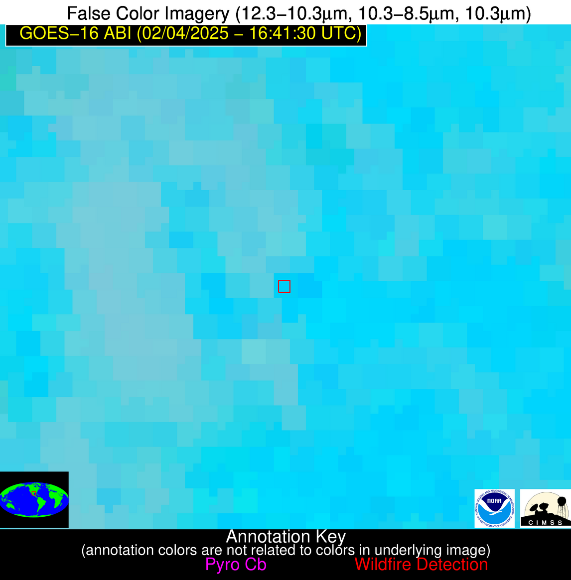
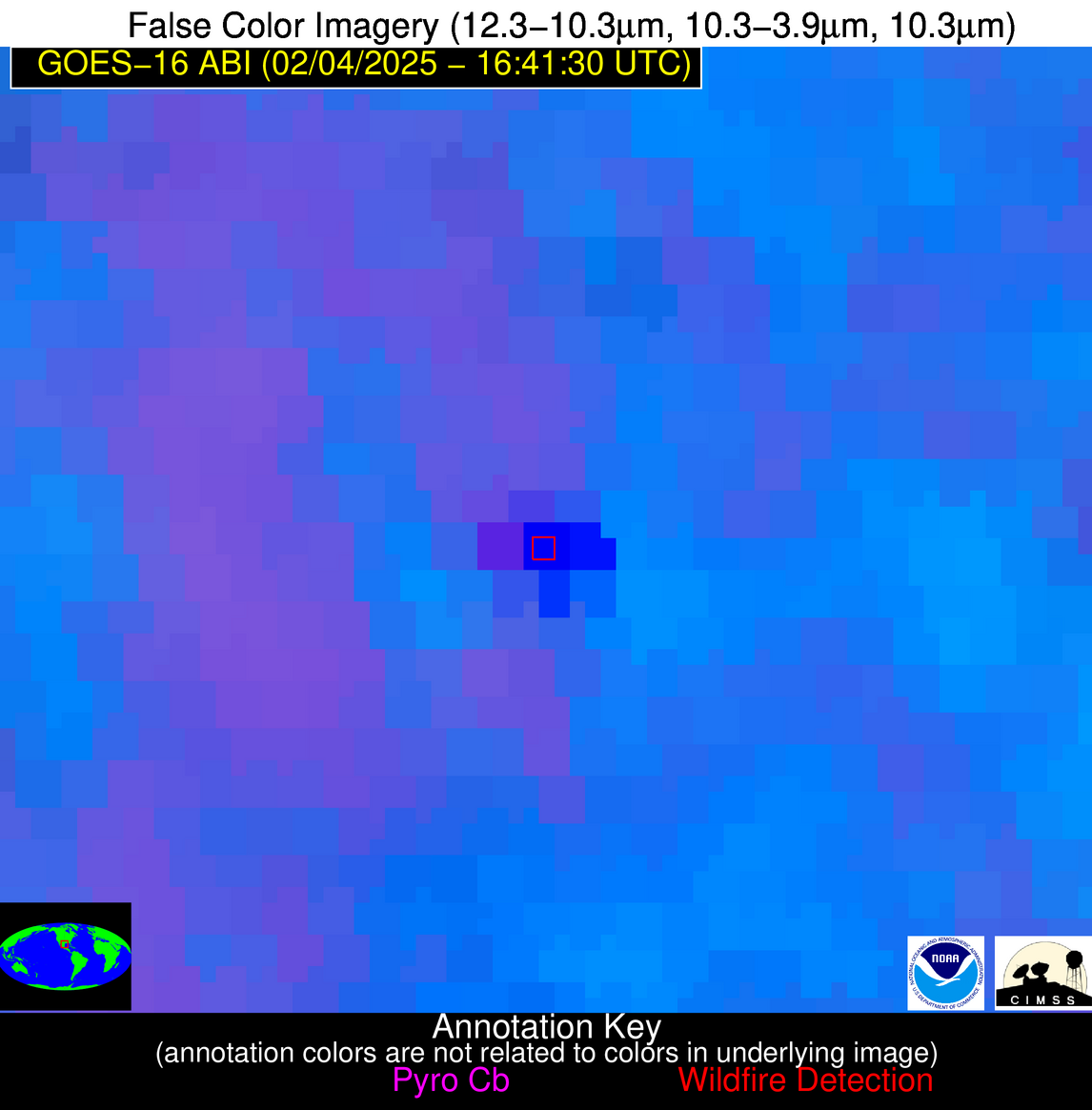
Possible Wildfire
| Basic Information | |
|---|---|
| State/Province(s) | DE |
| Country/Countries | United States |
| County/Locality(s) | Sussex County, DE |
| NWS WFO | Mount Holly NJ |
| Identification Method | Enhanced Contextual (Clear) |
| Mean Object Date/Time | 2025-02-04 16:41:52UTC |
| Radiative Center (Lat, Lon): | 38.744446°, -75.397499° |
| Nearby Counties (meeting alert criteria): |
|
| Total Radiative Power Anomaly | n/a |
| Total Radiative Power | 7.32 MW |
| Map: | |
| Additional Information | |
| Alert Status | New Feature |
| Type of Event | Nominal Risk |
| Event Priority Ranking | 4 |
| Maximum Observed BT (3.9 um) | 295.83 K |
| Observed - Background BT (3.9 um) | 2.25 K |
| BT Anomaly (3.9 um) | 2.15 K |
| Maximum Observed - Clear RTM BT (3.9 um) | 15.15 K |
| Maximum Observed BTD (3.9-10/11/12 um) | 12.68 K |
| Observed - Background BTD (3.9-10/11/12 um) | 3.06 K |
| BTD Anomaly (3.9-10/11/12 um) | 2.96 K |
| Similar Pixel Count | 17 |
| BT Time Tendency (3.9 um) | 4.70 K |
| Image Interval | 10.00 minutes |
| Fraction of Surrounding LWIR Pixels that are Colder | 0.24 |
| Fraction of Surrounding Red Channel Pixels that are Brighter | 0.97 |
| Maximum Radiative Power | 7.32 MW |
| Maximum Radiative Power Uncertainty | 0.00 MW |
| Total Radiative Power Uncertainty | 0.00 MW |
| Mean Viewing Angle | 45.10° |
| Mean Solar Zenith Angle | 55.70° |
| Mean Glint Angle | 100.30° |
| Water Fraction | 0.00 |
| Total Pixel Area | 5.70 km2 |
| Latest Satellite Imagery: | |
| View all event imagery » | |
Possible Wildfire
| Basic Information | |
|---|---|
| State/Province(s) | NC |
| Country/Countries | United States |
| County/Locality(s) | Brunswick County, NC |
| NWS WFO | Wilmington NC |
| Identification Method | Enhanced Contextual (Clear) |
| Mean Object Date/Time | 2025-02-04 16:42:22UTC |
| Radiative Center (Lat, Lon): | 34.086388°, -78.205833° |
| Nearby Counties (meeting alert criteria): |
|
| Total Radiative Power Anomaly | n/a |
| Total Radiative Power | 8.77 MW |
| Map: | |
| Additional Information | |
| Alert Status | New Feature |
| Type of Event | Nominal Risk |
| Event Priority Ranking | 4 |
| Maximum Observed BT (3.9 um) | 301.24 K |
| Observed - Background BT (3.9 um) | 3.55 K |
| BT Anomaly (3.9 um) | 3.82 K |
| Maximum Observed - Clear RTM BT (3.9 um) | 12.68 K |
| Maximum Observed BTD (3.9-10/11/12 um) | 9.82 K |
| Observed - Background BTD (3.9-10/11/12 um) | 3.34 K |
| BTD Anomaly (3.9-10/11/12 um) | 5.07 K |
| Similar Pixel Count | 12 |
| BT Time Tendency (3.9 um) | 2.20 K |
| Image Interval | 10.00 minutes |
| Fraction of Surrounding LWIR Pixels that are Colder | 0.68 |
| Fraction of Surrounding Red Channel Pixels that are Brighter | 1.00 |
| Maximum Radiative Power | 8.77 MW |
| Maximum Radiative Power Uncertainty | 0.00 MW |
| Total Radiative Power Uncertainty | 0.00 MW |
| Mean Viewing Angle | 39.90° |
| Mean Solar Zenith Angle | 51.60° |
| Mean Glint Angle | 91.20° |
| Water Fraction | 0.00 |
| Total Pixel Area | 5.20 km2 |
| Latest Satellite Imagery: | |
| View all event imagery » | |
Possible Wildfire
| Basic Information | |
|---|---|
| State/Province(s) | SC |
| Country/Countries | United States |
| County/Locality(s) | McCormick County, SC |
| NWS WFO | Columbia SC |
| Identification Method | Enhanced Contextual (Clear) |
| Mean Object Date/Time | 2025-02-04 16:42:22UTC |
| Radiative Center (Lat, Lon): | 34.030556°, -82.568054° |
| Nearby Counties (meeting alert criteria): |
|
| Total Radiative Power Anomaly | n/a |
| Total Radiative Power | 21.05 MW |
| Map: | |
| Additional Information | |
| Alert Status | New Feature |
| Type of Event | Nominal Risk |
| Event Priority Ranking | 4 |
| Maximum Observed BT (3.9 um) | 305.11 K |
| Observed - Background BT (3.9 um) | 7.15 K |
| BT Anomaly (3.9 um) | 5.55 K |
| Maximum Observed - Clear RTM BT (3.9 um) | 13.26 K |
| Maximum Observed BTD (3.9-10/11/12 um) | 12.63 K |
| Observed - Background BTD (3.9-10/11/12 um) | 7.05 K |
| BTD Anomaly (3.9-10/11/12 um) | 12.50 K |
| Similar Pixel Count | 1 |
| BT Time Tendency (3.9 um) | 8.30 K |
| Image Interval | 10.00 minutes |
| Fraction of Surrounding LWIR Pixels that are Colder | 0.49 |
| Fraction of Surrounding Red Channel Pixels that are Brighter | 1.00 |
| Maximum Radiative Power | 21.05 MW |
| Maximum Radiative Power Uncertainty | 0.00 MW |
| Total Radiative Power Uncertainty | 0.00 MW |
| Mean Viewing Angle | 40.50° |
| Mean Solar Zenith Angle | 52.50° |
| Mean Glint Angle | 92.90° |
| Water Fraction | 0.00 |
| Total Pixel Area | 5.30 km2 |
| Latest Satellite Imagery: | |
| View all event imagery » | |
Possible Wildfire
| Basic Information | |
|---|---|
| State/Province(s) | SC |
| Country/Countries | United States |
| County/Locality(s) | Sumter County, SC |
| NWS WFO | Columbia SC |
| Identification Method | Enhanced Contextual (Clear) |
| Mean Object Date/Time | 2025-02-04 16:42:22UTC |
| Radiative Center (Lat, Lon): | 33.834721°, -80.219170° |
| Nearby Counties (meeting alert criteria): |
|
| Total Radiative Power Anomaly | n/a |
| Total Radiative Power | 5.46 MW |
| Map: | |
| Additional Information | |
| Alert Status | New Feature |
| Type of Event | Nominal Risk |
| Event Priority Ranking | 4 |
| Maximum Observed BT (3.9 um) | 303.01 K |
| Observed - Background BT (3.9 um) | 2.13 K |
| BT Anomaly (3.9 um) | 2.07 K |
| Maximum Observed - Clear RTM BT (3.9 um) | 11.03 K |
| Maximum Observed BTD (3.9-10/11/12 um) | 9.49 K |
| Observed - Background BTD (3.9-10/11/12 um) | 1.99 K |
| BTD Anomaly (3.9-10/11/12 um) | 3.47 K |
| Similar Pixel Count | 25 |
| BT Time Tendency (3.9 um) | 1.80 K |
| Image Interval | 10.00 minutes |
| Fraction of Surrounding LWIR Pixels that are Colder | 0.61 |
| Fraction of Surrounding Red Channel Pixels that are Brighter | 1.00 |
| Maximum Radiative Power | 5.46 MW |
| Maximum Radiative Power Uncertainty | 0.00 MW |
| Total Radiative Power Uncertainty | 0.00 MW |
| Mean Viewing Angle | 39.90° |
| Mean Solar Zenith Angle | 51.80° |
| Mean Glint Angle | 91.40° |
| Water Fraction | 0.00 |
| Total Pixel Area | 5.20 km2 |
| Latest Satellite Imagery: | |
| View all event imagery » | |
Possible Wildfire
| Basic Information | |
|---|---|
| State/Province(s) | GA |
| Country/Countries | United States |
| County/Locality(s) | Bulloch County, GA |
| NWS WFO | Charleston SC |
| Identification Method | Enhanced Contextual (Clear) |
| Mean Object Date/Time | 2025-02-04 16:42:22UTC |
| Radiative Center (Lat, Lon): | 32.323055°, -81.620834° |
| Nearby Counties (meeting alert criteria): |
|
| Total Radiative Power Anomaly | n/a |
| Total Radiative Power | 6.53 MW |
| Map: | |
| Additional Information | |
| Alert Status | New Feature |
| Type of Event | Nominal Risk |
| Event Priority Ranking | 4 |
| Maximum Observed BT (3.9 um) | 304.06 K |
| Observed - Background BT (3.9 um) | 3.16 K |
| BT Anomaly (3.9 um) | 2.15 K |
| Maximum Observed - Clear RTM BT (3.9 um) | 11.03 K |
| Maximum Observed BTD (3.9-10/11/12 um) | 10.89 K |
| Observed - Background BTD (3.9-10/11/12 um) | 2.92 K |
| BTD Anomaly (3.9-10/11/12 um) | 2.84 K |
| Similar Pixel Count | 22 |
| BT Time Tendency (3.9 um) | 2.10 K |
| Image Interval | 10.00 minutes |
| Fraction of Surrounding LWIR Pixels that are Colder | 0.69 |
| Fraction of Surrounding Red Channel Pixels that are Brighter | 1.00 |
| Maximum Radiative Power | 6.53 MW |
| Maximum Radiative Power Uncertainty | 0.00 MW |
| Total Radiative Power Uncertainty | 0.00 MW |
| Mean Viewing Angle | 38.40° |
| Mean Solar Zenith Angle | 50.70° |
| Mean Glint Angle | 88.90° |
| Water Fraction | 0.00 |
| Total Pixel Area | 5.10 km2 |
| Latest Satellite Imagery: | |
| View all event imagery » | |
Possible Wildfire
| Basic Information | |
|---|---|
| State/Province(s) | GA |
| Country/Countries | United States |
| County/Locality(s) | Wilcox County, GA |
| NWS WFO | Peachtree City GA |
| Identification Method | Enhanced Contextual (Clear) |
| Mean Object Date/Time | 2025-02-04 16:42:21UTC |
| Radiative Center (Lat, Lon): | 32.063610°, -83.394447° |
| Nearby Counties (meeting alert criteria): |
|
| Total Radiative Power Anomaly | n/a |
| Total Radiative Power | 7.05 MW |
| Map: | |
| Additional Information | |
| Alert Status | New Feature |
| Type of Event | Nominal Risk |
| Event Priority Ranking | 4 |
| Maximum Observed BT (3.9 um) | 302.00 K |
| Observed - Background BT (3.9 um) | 2.97 K |
| BT Anomaly (3.9 um) | 2.72 K |
| Maximum Observed - Clear RTM BT (3.9 um) | 9.04 K |
| Maximum Observed BTD (3.9-10/11/12 um) | 10.54 K |
| Observed - Background BTD (3.9-10/11/12 um) | 2.81 K |
| BTD Anomaly (3.9-10/11/12 um) | 3.30 K |
| Similar Pixel Count | 16 |
| BT Time Tendency (3.9 um) | 1.70 K |
| Image Interval | 10.00 minutes |
| Fraction of Surrounding LWIR Pixels that are Colder | 0.67 |
| Fraction of Surrounding Red Channel Pixels that are Brighter | 0.87 |
| Maximum Radiative Power | 7.05 MW |
| Maximum Radiative Power Uncertainty | 0.00 MW |
| Total Radiative Power Uncertainty | 0.00 MW |
| Mean Viewing Angle | 38.50° |
| Mean Solar Zenith Angle | 50.90° |
| Mean Glint Angle | 89.30° |
| Water Fraction | 0.00 |
| Total Pixel Area | 5.10 km2 |
| Latest Satellite Imagery: | |
| View all event imagery » | |
Possible Wildfire
| Basic Information | |
|---|---|
| State/Province(s) | GA |
| Country/Countries | United States |
| County/Locality(s) | Jeff Davis County, GA |
| NWS WFO | Jacksonville FL |
| Identification Method | Enhanced Contextual (Clear) |
| Mean Object Date/Time | 2025-02-04 16:42:22UTC |
| Radiative Center (Lat, Lon): | 31.935278°, -82.538330° |
| Nearby Counties (meeting alert criteria): |
|
| Total Radiative Power Anomaly | n/a |
| Total Radiative Power | 33.06 MW |
| Map: | |
| Additional Information | |
| Alert Status | New Feature |
| Type of Event | Nominal Risk |
| Event Priority Ranking | 4 |
| Maximum Observed BT (3.9 um) | 305.11 K |
| Observed - Background BT (3.9 um) | 4.79 K |
| BT Anomaly (3.9 um) | 3.44 K |
| Maximum Observed - Clear RTM BT (3.9 um) | 11.58 K |
| Maximum Observed BTD (3.9-10/11/12 um) | 13.36 K |
| Observed - Background BTD (3.9-10/11/12 um) | 5.16 K |
| BTD Anomaly (3.9-10/11/12 um) | 4.53 K |
| Similar Pixel Count | 3 |
| BT Time Tendency (3.9 um) | 5.00 K |
| Image Interval | 10.00 minutes |
| Fraction of Surrounding LWIR Pixels that are Colder | 0.17 |
| Fraction of Surrounding Red Channel Pixels that are Brighter | 1.00 |
| Maximum Radiative Power | 17.69 MW |
| Maximum Radiative Power Uncertainty | 0.00 MW |
| Total Radiative Power Uncertainty | 0.00 MW |
| Mean Viewing Angle | 38.20° |
| Mean Solar Zenith Angle | 50.60° |
| Mean Glint Angle | 88.60° |
| Water Fraction | 0.00 |
| Total Pixel Area | 10.20 km2 |
| Latest Satellite Imagery: | |
| View all event imagery » | |
Possible Wildfire
| Basic Information | |
|---|---|
| State/Province(s) | AL |
| Country/Countries | United States |
| County/Locality(s) | Covington County, AL |
| NWS WFO | Mobile AL |
| Identification Method | Enhanced Contextual (Clear) |
| Mean Object Date/Time | 2025-02-04 16:42:21UTC |
| Radiative Center (Lat, Lon): | 31.251112°, -86.410553° |
| Nearby Counties (meeting alert criteria): |
|
| Total Radiative Power Anomaly | n/a |
| Total Radiative Power | 8.19 MW |
| Map: | |
| Additional Information | |
| Alert Status | New Feature |
| Type of Event | Nominal Risk |
| Event Priority Ranking | 4 |
| Maximum Observed BT (3.9 um) | 300.92 K |
| Observed - Background BT (3.9 um) | 2.11 K |
| BT Anomaly (3.9 um) | 1.95 K |
| Maximum Observed - Clear RTM BT (3.9 um) | 7.59 K |
| Maximum Observed BTD (3.9-10/11/12 um) | 10.16 K |
| Observed - Background BTD (3.9-10/11/12 um) | 2.27 K |
| BTD Anomaly (3.9-10/11/12 um) | 2.18 K |
| Similar Pixel Count | 25 |
| BT Time Tendency (3.9 um) | 1.60 K |
| Image Interval | 10.00 minutes |
| Fraction of Surrounding LWIR Pixels that are Colder | 0.34 |
| Fraction of Surrounding Red Channel Pixels that are Brighter | 1.00 |
| Maximum Radiative Power | 8.19 MW |
| Maximum Radiative Power Uncertainty | 0.00 MW |
| Total Radiative Power Uncertainty | 0.00 MW |
| Mean Viewing Angle | 38.60° |
| Mean Solar Zenith Angle | 51.10° |
| Mean Glint Angle | 89.70° |
| Water Fraction | 0.00 |
| Total Pixel Area | 5.10 km2 |
| Latest Satellite Imagery: | |
| View all event imagery » | |
Possible Wildfire
| Basic Information | |
|---|---|
| State/Province(s) | TX |
| Country/Countries | United States |
| County/Locality(s) | Kenedy County, TX |
| NWS WFO | Brownsville TX |
| Identification Method | Enhanced Contextual (Cloud) |
| Mean Object Date/Time | 2025-02-04 16:42:50UTC |
| Radiative Center (Lat, Lon): | 26.964722°, -97.887497° |
| Nearby Counties (meeting alert criteria): |
|
| Total Radiative Power Anomaly | n/a |
| Total Radiative Power | 345.97 MW |
| Map: | |
| Additional Information | |
| Alert Status | New Feature |
| Type of Event | Nominal Risk |
| Event Priority Ranking | 4 |
| Maximum Observed BT (3.9 um) | 331.89 K |
| Observed - Background BT (3.9 um) | 26.71 K |
| BT Anomaly (3.9 um) | 47.07 K |
| Maximum Observed - Clear RTM BT (3.9 um) | 33.17 K |
| Maximum Observed BTD (3.9-10/11/12 um) | 45.12 K |
| Observed - Background BTD (3.9-10/11/12 um) | 26.48 K |
| BTD Anomaly (3.9-10/11/12 um) | 26.31 K |
| Similar Pixel Count | 0 |
| BT Time Tendency (3.9 um) | 26.70 K |
| Image Interval | 10.00 minutes |
| Fraction of Surrounding LWIR Pixels that are Colder | 0.74 |
| Fraction of Surrounding Red Channel Pixels that are Brighter | 0.75 |
| Maximum Radiative Power | 345.97 MW |
| Maximum Radiative Power Uncertainty | 0.00 MW |
| Total Radiative Power Uncertainty | 0.00 MW |
| Mean Viewing Angle | 40.50° |
| Mean Solar Zenith Angle | 52.70° |
| Mean Glint Angle | 93.10° |
| Water Fraction | 0.00 |
| Total Pixel Area | 10.50 km2 |
| Latest Satellite Imagery: | |
| View all event imagery » | |
Possible Wildfire
| Basic Information | |
|---|---|
| State/Province(s) | Tamaulipas |
| Country/Countries | Mexico |
| County/Locality(s) | Victoria, Tamaulipas |
| NWS WFO | N/A |
| Identification Method | Enhanced Contextual (Clear) |
| Mean Object Date/Time | 2025-02-04 16:43:19UTC |
| Radiative Center (Lat, Lon): | 23.892778°, -99.167221° |
| Nearby Counties (meeting alert criteria): |
|
| Total Radiative Power Anomaly | n/a |
| Total Radiative Power | 10.94 MW |
| Map: | |
| Additional Information | |
| Alert Status | New Feature |
| Type of Event | Nominal Risk |
| Event Priority Ranking | 4 |
| Maximum Observed BT (3.9 um) | 307.67 K |
| Observed - Background BT (3.9 um) | 4.57 K |
| BT Anomaly (3.9 um) | 2.32 K |
| Maximum Observed - Clear RTM BT (3.9 um) | 9.11 K |
| Maximum Observed BTD (3.9-10/11/12 um) | 15.48 K |
| Observed - Background BTD (3.9-10/11/12 um) | 4.02 K |
| BTD Anomaly (3.9-10/11/12 um) | 2.95 K |
| Similar Pixel Count | 24 |
| BT Time Tendency (3.9 um) | 3.70 K |
| Image Interval | 10.00 minutes |
| Fraction of Surrounding LWIR Pixels that are Colder | 0.84 |
| Fraction of Surrounding Red Channel Pixels that are Brighter | 0.92 |
| Maximum Radiative Power | 10.94 MW |
| Maximum Radiative Power Uncertainty | 0.00 MW |
| Total Radiative Power Uncertainty | 0.00 MW |
| Mean Viewing Angle | 38.90° |
| Mean Solar Zenith Angle | 51.10° |
| Mean Glint Angle | 89.80° |
| Water Fraction | 0.00 |
| Total Pixel Area | 5.10 km2 |
| Latest Satellite Imagery: | |
| View all event imagery » | |
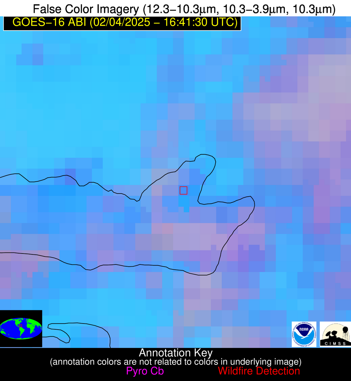
Possible Wildfire
| Basic Information | |
|---|---|
| State/Province(s) | Unknown |
| Country/Countries | Dominican Republic |
| County/Locality(s) | Unknown, Unknown |
| NWS WFO | N/A |
| Identification Method | Enhanced Contextual (Clear) |
| Mean Object Date/Time | 2025-02-04 16:43:53UTC |
| Radiative Center (Lat, Lon): | 19.309999°, -69.265556° |
| Nearby Counties (meeting alert criteria): |
|
| Total Radiative Power Anomaly | n/a |
| Total Radiative Power | 8.45 MW |
| Map: | |
| Additional Information | |
| Alert Status | New Feature |
| Type of Event | Nominal Risk |
| Event Priority Ranking | 4 |
| Maximum Observed BT (3.9 um) | 302.94 K |
| Observed - Background BT (3.9 um) | 4.39 K |
| BT Anomaly (3.9 um) | 3.42 K |
| Maximum Observed - Clear RTM BT (3.9 um) | 9.47 K |
| Maximum Observed BTD (3.9-10/11/12 um) | 13.38 K |
| Observed - Background BTD (3.9-10/11/12 um) | 4.28 K |
| BTD Anomaly (3.9-10/11/12 um) | 2.06 K |
| Similar Pixel Count | 19 |
| BT Time Tendency (3.9 um) | 6.00 K |
| Image Interval | 10.00 minutes |
| Fraction of Surrounding LWIR Pixels that are Colder | 0.72 |
| Fraction of Surrounding Red Channel Pixels that are Brighter | 0.64 |
| Maximum Radiative Power | 8.45 MW |
| Maximum Radiative Power Uncertainty | 0.00 MW |
| Total Radiative Power Uncertainty | 0.00 MW |
| Mean Viewing Angle | 23.70° |
| Mean Solar Zenith Angle | 35.70° |
| Mean Glint Angle | 58.40° |
| Water Fraction | 0.00 |
| Total Pixel Area | 4.40 km2 |
| Latest Satellite Imagery: | |
| View all event imagery » | |
