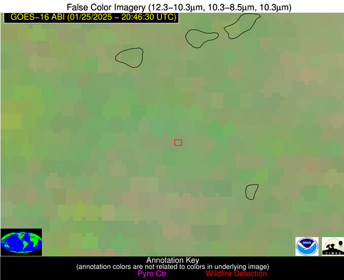
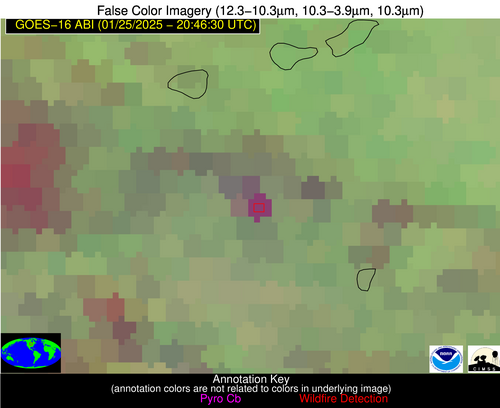
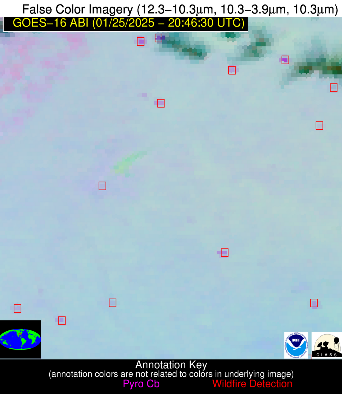
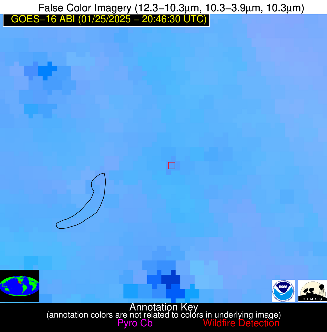
Jan 2026: Due to an ongoing data center cooling system construction project, NGFS data outages may occur with little or no notice. Bitterly cold air in Madison Jan 22-24 increases risk of outages.
Wildfire Alert Report
| Date: | 2025-01-25 |
|---|---|
| Time: | 20:46:17 |
| Production Date and Time: | 2025-01-25 20:50:51 UTC |
| Primary Instrument: | GOES-16 ABI |
| Wmo Spacecraft Id: | 152 |
| Location/orbit: | GEO |
| L1 File: | OR_ABI-L1b-RadC-M6C14_G16_s20250252046172_e20250252048545_c20250252049039.nc |
| L1 File(s) - Temporal | OR_ABI-L1b-RadC-M6C14_G16_s20250252041172_e20250252043545_c20250252044044.nc |
| Number Of Thermal Anomaly Alerts: | 6 |
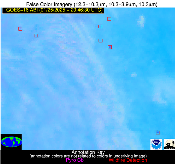
Possible Wildfire
| Basic Information | |
|---|---|
| State/Province(s) | MN |
| Country/Countries | USA |
| County/Locality(s) | Carver County, MN |
| NWS WFO | Twin Cities/Chanhassen MN |
| Identification Method | Enhanced Contextual (Cloud) |
| Mean Object Date/Time | 2025-01-25 20:46:21UTC |
| Radiative Center (Lat, Lon): | 44.700000°, -93.690000° |
| Nearby Counties (meeting alert criteria): |
|
| Total Radiative Power Anomaly | n/a |
| Total Radiative Power | 25.43 MW |
| Map: | |
| Additional Information | |
| Alert Status | New Feature |
| Type of Event | Nominal Risk |
| Event Priority Ranking | 4 |
| Maximum Observed BT (3.9 um) | 287.04 K |
| Observed - Background BT (3.9 um) | 14.68 K |
| BT Anomaly (3.9 um) | 8.40 K |
| Maximum Observed - Clear RTM BT (3.9 um) | 23.12 K |
| Maximum Observed BTD (3.9-10/11/12 um) | 23.29 K |
| Observed - Background BTD (3.9-10/11/12 um) | 14.04 K |
| BTD Anomaly (3.9-10/11/12 um) | 7.76 K |
| Similar Pixel Count | 0 |
| BT Time Tendency (3.9 um) | 10.50 K |
| Image Interval | 5.00 minutes |
| Fraction of Surrounding LWIR Pixels that are Colder | 0.79 |
| Fraction of Surrounding Red Channel Pixels that are Brighter | 0.95 |
| Maximum Radiative Power | 25.43 MW |
| Maximum Radiative Power Uncertainty | 0.00 MW |
| Total Radiative Power Uncertainty | 0.00 MW |
| Mean Viewing Angle | 55.00° |
| Mean Solar Zenith Angle | 71.20° |
| Mean Glint Angle | 101.40° |
| Water Fraction | 0.00 |
| Total Pixel Area | 8.30 km2 |
| Latest Satellite Imagery: | |
| View all event imagery » | |
Possible Wildfire
| Basic Information | |
|---|---|
| State/Province(s) | MS |
| Country/Countries | USA |
| County/Locality(s) | Winston County, MS |
| NWS WFO | Jackson MS |
| Identification Method | Enhanced Contextual (Cloud) |
| Mean Object Date/Time | 2025-01-25 20:47:21UTC |
| Radiative Center (Lat, Lon): | 33.100000°, -89.220000° |
| Nearby Counties (meeting alert criteria): |
|
| Total Radiative Power Anomaly | n/a |
| Total Radiative Power | 46.23 MW |
| Map: | |
| Additional Information | |
| Alert Status | New Feature |
| Type of Event | Nominal Risk |
| Event Priority Ranking | 4 |
| Maximum Observed BT (3.9 um) | 305.25 K |
| Observed - Background BT (3.9 um) | 19.77 K |
| BT Anomaly (3.9 um) | 17.80 K |
| Maximum Observed - Clear RTM BT (3.9 um) | 27.55 K |
| Maximum Observed BTD (3.9-10/11/12 um) | 22.01 K |
| Observed - Background BTD (3.9-10/11/12 um) | 19.33 K |
| BTD Anomaly (3.9-10/11/12 um) | 23.77 K |
| Similar Pixel Count | 0 |
| BT Time Tendency (3.9 um) | 16.30 K |
| Image Interval | 5.00 minutes |
| Fraction of Surrounding LWIR Pixels that are Colder | 0.77 |
| Fraction of Surrounding Red Channel Pixels that are Brighter | 1.00 |
| Maximum Radiative Power | 46.23 MW |
| Maximum Radiative Power Uncertainty | 0.00 MW |
| Total Radiative Power Uncertainty | 0.00 MW |
| Mean Viewing Angle | 41.60° |
| Mean Solar Zenith Angle | 64.20° |
| Mean Glint Angle | 85.10° |
| Water Fraction | 0.00 |
| Total Pixel Area | 5.90 km2 |
| Latest Satellite Imagery: | |
| View all event imagery » | |
Possible Wildfire
| Basic Information | |
|---|---|
| State/Province(s) | MS |
| Country/Countries | USA |
| County/Locality(s) | Lincoln County, MS |
| NWS WFO | Jackson MS |
| Identification Method | Enhanced Contextual (Clear) |
| Mean Object Date/Time | 2025-01-25 20:47:21UTC |
| Radiative Center (Lat, Lon): | 31.480000°, -90.340000° |
| Nearby Counties (meeting alert criteria): |
|
| Total Radiative Power Anomaly | n/a |
| Total Radiative Power | 15.26 MW |
| Map: | |
| Additional Information | |
| Alert Status | New Feature |
| Type of Event | Nominal Risk |
| Event Priority Ranking | 4 |
| Maximum Observed BT (3.9 um) | 296.41 K |
| Observed - Background BT (3.9 um) | 8.19 K |
| BT Anomaly (3.9 um) | 12.68 K |
| Maximum Observed - Clear RTM BT (3.9 um) | 17.62 K |
| Maximum Observed BTD (3.9-10/11/12 um) | 10.50 K |
| Observed - Background BTD (3.9-10/11/12 um) | 7.76 K |
| BTD Anomaly (3.9-10/11/12 um) | 19.88 K |
| Similar Pixel Count | 2 |
| BT Time Tendency (3.9 um) | 6.60 K |
| Image Interval | 5.00 minutes |
| Fraction of Surrounding LWIR Pixels that are Colder | 0.90 |
| Fraction of Surrounding Red Channel Pixels that are Brighter | 1.00 |
| Maximum Radiative Power | 15.26 MW |
| Maximum Radiative Power Uncertainty | 0.00 MW |
| Total Radiative Power Uncertainty | 0.00 MW |
| Mean Viewing Angle | 40.40° |
| Mean Solar Zenith Angle | 62.40° |
| Mean Glint Angle | 81.60° |
| Water Fraction | 0.00 |
| Total Pixel Area | 5.80 km2 |
| Latest Satellite Imagery: | |
| View all event imagery » | |
Possible Wildfire
| Basic Information | |
|---|---|
| State/Province(s) | Chihuahua |
| Country/Countries | Mexico |
| County/Locality(s) | Rosales, Chihuahua |
| NWS WFO | N/A |
| Identification Method | Enhanced Contextual (Clear) |
| Mean Object Date/Time | 2025-01-25 20:47:49UTC |
| Radiative Center (Lat, Lon): | 28.170000°, -105.540000° |
| Nearby Counties (meeting alert criteria): |
|
| Total Radiative Power Anomaly | n/a |
| Total Radiative Power | 11.38 MW |
| Map: | |
| Additional Information | |
| Alert Status | New Feature |
| Type of Event | Nominal Risk |
| Event Priority Ranking | 4 |
| Maximum Observed BT (3.9 um) | 310.63 K |
| Observed - Background BT (3.9 um) | 2.18 K |
| BT Anomaly (3.9 um) | 1.62 K |
| Maximum Observed - Clear RTM BT (3.9 um) | 16.35 K |
| Maximum Observed BTD (3.9-10/11/12 um) | 10.91 K |
| Observed - Background BTD (3.9-10/11/12 um) | 2.59 K |
| BTD Anomaly (3.9-10/11/12 um) | 3.56 K |
| Similar Pixel Count | 25 |
| BT Time Tendency (3.9 um) | 0.70 K |
| Image Interval | 5.00 minutes |
| Fraction of Surrounding LWIR Pixels that are Colder | 0.31 |
| Fraction of Surrounding Red Channel Pixels that are Brighter | 0.98 |
| Maximum Radiative Power | 11.38 MW |
| Maximum Radiative Power Uncertainty | 0.00 MW |
| Total Radiative Power Uncertainty | 0.00 MW |
| Mean Viewing Angle | 47.00° |
| Mean Solar Zenith Angle | 52.10° |
| Mean Glint Angle | 72.00° |
| Water Fraction | 0.00 |
| Total Pixel Area | 6.90 km2 |
| Latest Satellite Imagery: | |
| View all event imagery » | |
Possible Wildfire
| Basic Information | |
|---|---|
| State/Province(s) | Coahuila de Zaragoza |
| Country/Countries | Mexico |
| County/Locality(s) | Ramos Arizpe, Coahuila de Zaragoza |
| NWS WFO | N/A |
| Identification Method | Enhanced Contextual (Clear) |
| Mean Object Date/Time | 2025-01-25 20:47:49UTC |
| Radiative Center (Lat, Lon): | 25.540000°, -101.160000° |
| Nearby Counties (meeting alert criteria): |
|
| Total Radiative Power Anomaly | n/a |
| Total Radiative Power | 20.00 MW |
| Map: | |
| Additional Information | |
| Alert Status | New Feature |
| Type of Event | Nominal Risk |
| Event Priority Ranking | 4 |
| Maximum Observed BT (3.9 um) | 310.48 K |
| Observed - Background BT (3.9 um) | 2.24 K |
| BT Anomaly (3.9 um) | 1.58 K |
| Maximum Observed - Clear RTM BT (3.9 um) | 20.60 K |
| Maximum Observed BTD (3.9-10/11/12 um) | 9.15 K |
| Observed - Background BTD (3.9-10/11/12 um) | 2.81 K |
| BTD Anomaly (3.9-10/11/12 um) | 4.27 K |
| Similar Pixel Count | 12 |
| BT Time Tendency (3.9 um) | 2.90 K |
| Image Interval | 5.00 minutes |
| Fraction of Surrounding LWIR Pixels that are Colder | 0.25 |
| Fraction of Surrounding Red Channel Pixels that are Brighter | 1.00 |
| Maximum Radiative Power | 11.28 MW |
| Maximum Radiative Power Uncertainty | 0.00 MW |
| Total Radiative Power Uncertainty | 0.00 MW |
| Mean Viewing Angle | 41.80° |
| Mean Solar Zenith Angle | 51.90° |
| Mean Glint Angle | 67.20° |
| Water Fraction | 0.00 |
| Total Pixel Area | 12.10 km2 |
| Latest Satellite Imagery: | |
| View all event imagery » | |
Possible Wildfire
| Basic Information | |
|---|---|
| State/Province(s) | Tamaulipas |
| Country/Countries | Mexico |
| County/Locality(s) | Padilla, Tamaulipas |
| NWS WFO | N/A |
| Identification Method | Enhanced Contextual (Cloud) |
| Mean Object Date/Time | 2025-01-25 20:48:19UTC |
| Radiative Center (Lat, Lon): | 24.120000°, -99.060000° |
| Nearby Counties (meeting alert criteria): |
|
| Total Radiative Power Anomaly | n/a |
| Total Radiative Power | 41.01 MW |
| Map: | |
| Additional Information | |
| Alert Status | New Feature |
| Type of Event | Nominal Risk |
| Event Priority Ranking | 4 |
| Maximum Observed BT (3.9 um) | 314.38 K |
| Observed - Background BT (3.9 um) | 11.20 K |
| BT Anomaly (3.9 um) | 12.27 K |
| Maximum Observed - Clear RTM BT (3.9 um) | 18.59 K |
| Maximum Observed BTD (3.9-10/11/12 um) | 18.24 K |
| Observed - Background BTD (3.9-10/11/12 um) | 11.05 K |
| BTD Anomaly (3.9-10/11/12 um) | 20.29 K |
| Similar Pixel Count | 0 |
| BT Time Tendency (3.9 um) | 11.40 K |
| Image Interval | 5.00 minutes |
| Fraction of Surrounding LWIR Pixels that are Colder | 0.56 |
| Fraction of Surrounding Red Channel Pixels that are Brighter | 1.00 |
| Maximum Radiative Power | 41.01 MW |
| Maximum Radiative Power Uncertainty | 0.00 MW |
| Total Radiative Power Uncertainty | 0.00 MW |
| Mean Viewing Angle | 39.00° |
| Mean Solar Zenith Angle | 51.80° |
| Mean Glint Angle | 64.80° |
| Water Fraction | 0.00 |
| Total Pixel Area | 5.70 km2 |
| Latest Satellite Imagery: | |
| View all event imagery » | |
