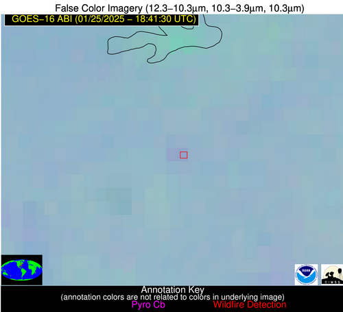
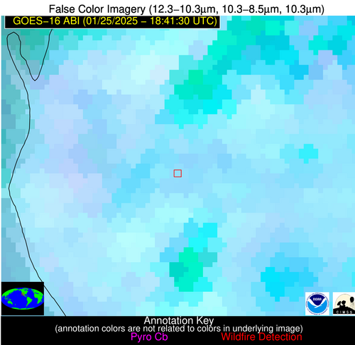
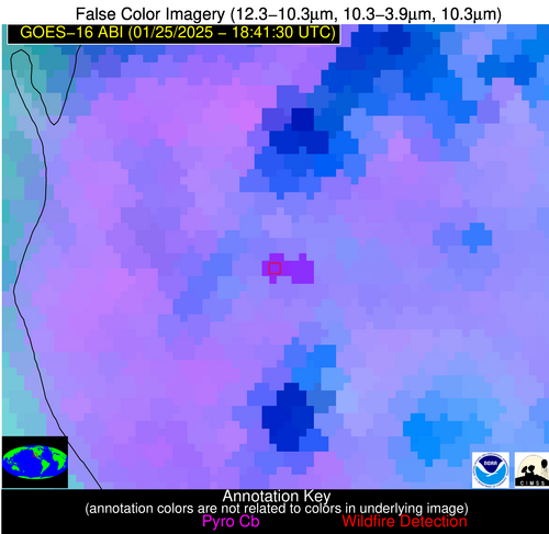
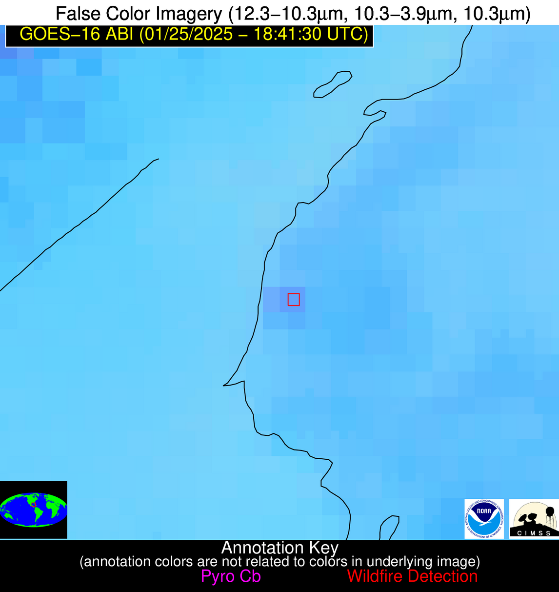
Jan 2026: Due to an ongoing data center cooling system construction project, NGFS data outages may occur with little or no notice. Bitterly cold air in Madison Jan 22-24 increases risk of outages.
Wildfire Alert Report
| Date: | 2025-01-25 |
|---|---|
| Time: | 18:41:17 |
| Production Date and Time: | 2025-01-25 18:46:02 UTC |
| Primary Instrument: | GOES-16 ABI |
| Wmo Spacecraft Id: | 152 |
| Location/orbit: | GEO |
| L1 File: | OR_ABI-L1b-RadC-M6C14_G16_s20250251841172_e20250251843545_c20250251844048.nc |
| L1 File(s) - Temporal | OR_ABI-L1b-RadC-M6C14_G16_s20250251836172_e20250251838545_c20250251839039.nc |
| Number Of Thermal Anomaly Alerts: | 7 |
Possible Wildfire
| Basic Information | |
|---|---|
| State/Province(s) | VA |
| Country/Countries | USA |
| County/Locality(s) | Pittsylvania County, VA |
| NWS WFO | Blacksburg VA |
| Identification Method | Enhanced Contextual (Clear) |
| Mean Object Date/Time | 2025-01-25 18:41:52UTC |
| Radiative Center (Lat, Lon): | 36.830000°, -79.580000° |
| Nearby Counties (meeting alert criteria): |
|
| Total Radiative Power Anomaly | n/a |
| Total Radiative Power | 8.24 MW |
| Map: | |
| Additional Information | |
| Alert Status | New Feature |
| Type of Event | Nominal Risk |
| Event Priority Ranking | 4 |
| Maximum Observed BT (3.9 um) | 289.73 K |
| Observed - Background BT (3.9 um) | 2.72 K |
| BT Anomaly (3.9 um) | 3.56 K |
| Maximum Observed - Clear RTM BT (3.9 um) | 12.33 K |
| Maximum Observed BTD (3.9-10/11/12 um) | 8.72 K |
| Observed - Background BTD (3.9-10/11/12 um) | 2.45 K |
| BTD Anomaly (3.9-10/11/12 um) | 5.71 K |
| Similar Pixel Count | 23 |
| BT Time Tendency (3.9 um) | 0.60 K |
| Image Interval | 5.00 minutes |
| Fraction of Surrounding LWIR Pixels that are Colder | 0.67 |
| Fraction of Surrounding Red Channel Pixels that are Brighter | 1.00 |
| Maximum Radiative Power | 4.41 MW |
| Maximum Radiative Power Uncertainty | 0.00 MW |
| Total Radiative Power Uncertainty | 0.00 MW |
| Mean Viewing Angle | 43.20° |
| Mean Solar Zenith Angle | 58.30° |
| Mean Glint Angle | 97.70° |
| Water Fraction | 0.00 |
| Total Pixel Area | 11.90 km2 |
| Latest Satellite Imagery: | |
| View all event imagery » | |
Possible Wildfire
| Basic Information | |
|---|---|
| State/Province(s) | MS |
| Country/Countries | USA |
| County/Locality(s) | Prentiss County, MS |
| NWS WFO | Memphis TN |
| Identification Method | Enhanced Contextual (Clear) |
| Mean Object Date/Time | 2025-01-25 18:42:21UTC |
| Radiative Center (Lat, Lon): | 34.480000°, -88.410000° |
| Nearby Counties (meeting alert criteria): |
|
| Total Radiative Power Anomaly | n/a |
| Total Radiative Power | 6.35 MW |
| Map: | |
| Additional Information | |
| Alert Status | New Feature |
| Type of Event | Nominal Risk |
| Event Priority Ranking | 4 |
| Maximum Observed BT (3.9 um) | 290.45 K |
| Observed - Background BT (3.9 um) | 3.46 K |
| BT Anomaly (3.9 um) | 2.85 K |
| Maximum Observed - Clear RTM BT (3.9 um) | 10.99 K |
| Maximum Observed BTD (3.9-10/11/12 um) | 8.82 K |
| Observed - Background BTD (3.9-10/11/12 um) | 3.08 K |
| BTD Anomaly (3.9-10/11/12 um) | 4.28 K |
| Similar Pixel Count | 14 |
| BT Time Tendency (3.9 um) | 2.40 K |
| Image Interval | 5.00 minutes |
| Fraction of Surrounding LWIR Pixels that are Colder | 0.77 |
| Fraction of Surrounding Red Channel Pixels that are Brighter | 1.00 |
| Maximum Radiative Power | 6.35 MW |
| Maximum Radiative Power Uncertainty | 0.00 MW |
| Total Radiative Power Uncertainty | 0.00 MW |
| Mean Viewing Angle | 42.70° |
| Mean Solar Zenith Angle | 54.10° |
| Mean Glint Angle | 91.70° |
| Water Fraction | 0.00 |
| Total Pixel Area | 6.00 km2 |
| Latest Satellite Imagery: | |
| View all event imagery » | |
Possible Wildfire
| Basic Information | |
|---|---|
| State/Province(s) | GA |
| Country/Countries | USA |
| County/Locality(s) | Jenkins County, GA |
| NWS WFO | Charleston SC |
| Identification Method | Enhanced Contextual (Cloud) |
| Mean Object Date/Time | 2025-01-25 18:42:22UTC |
| Radiative Center (Lat, Lon): | 32.780000°, -82.130000° |
| Nearby Counties (meeting alert criteria): |
|
| Total Radiative Power Anomaly | n/a |
| Total Radiative Power | 34.77 MW |
| Map: | |
| Additional Information | |
| Alert Status | New Feature |
| Type of Event | Nominal Risk |
| Event Priority Ranking | 4 |
| Maximum Observed BT (3.9 um) | 305.01 K |
| Observed - Background BT (3.9 um) | 14.03 K |
| BT Anomaly (3.9 um) | 12.67 K |
| Maximum Observed - Clear RTM BT (3.9 um) | 23.09 K |
| Maximum Observed BTD (3.9-10/11/12 um) | 19.13 K |
| Observed - Background BTD (3.9-10/11/12 um) | 13.96 K |
| BTD Anomaly (3.9-10/11/12 um) | 19.99 K |
| Similar Pixel Count | 0 |
| BT Time Tendency (3.9 um) | 14.50 K |
| Image Interval | 5.00 minutes |
| Fraction of Surrounding LWIR Pixels that are Colder | 0.47 |
| Fraction of Surrounding Red Channel Pixels that are Brighter | 1.00 |
| Maximum Radiative Power | 34.77 MW |
| Maximum Radiative Power Uncertainty | 0.00 MW |
| Total Radiative Power Uncertainty | 0.00 MW |
| Mean Viewing Angle | 39.00° |
| Mean Solar Zenith Angle | 53.70° |
| Mean Glint Angle | 88.70° |
| Water Fraction | 0.00 |
| Total Pixel Area | 5.60 km2 |
| Latest Satellite Imagery: | |
| View all event imagery » | |
Possible Wildfire
| Basic Information | |
|---|---|
| State/Province(s) | AL |
| Country/Countries | USA |
| County/Locality(s) | Chilton County, AL |
| NWS WFO | Birmingham AL |
| Identification Method | Enhanced Contextual (Clear) |
| Mean Object Date/Time | 2025-01-25 18:42:21UTC |
| Radiative Center (Lat, Lon): | 32.730000°, -86.740000° |
| Nearby Counties (meeting alert criteria): |
|
| Total Radiative Power Anomaly | n/a |
| Total Radiative Power | 15.60 MW |
| Map: | |
| Additional Information | |
| Alert Status | New Feature |
| Type of Event | Nominal Risk |
| Event Priority Ranking | 4 |
| Maximum Observed BT (3.9 um) | 298.31 K |
| Observed - Background BT (3.9 um) | 7.78 K |
| BT Anomaly (3.9 um) | 5.46 K |
| Maximum Observed - Clear RTM BT (3.9 um) | 17.26 K |
| Maximum Observed BTD (3.9-10/11/12 um) | 12.33 K |
| Observed - Background BTD (3.9-10/11/12 um) | 7.39 K |
| BTD Anomaly (3.9-10/11/12 um) | 11.12 K |
| Similar Pixel Count | 1 |
| BT Time Tendency (3.9 um) | 5.50 K |
| Image Interval | 5.00 minutes |
| Fraction of Surrounding LWIR Pixels that are Colder | 0.69 |
| Fraction of Surrounding Red Channel Pixels that are Brighter | 1.00 |
| Maximum Radiative Power | 15.60 MW |
| Maximum Radiative Power Uncertainty | 0.00 MW |
| Total Radiative Power Uncertainty | 0.00 MW |
| Mean Viewing Angle | 40.30° |
| Mean Solar Zenith Angle | 52.70° |
| Mean Glint Angle | 88.10° |
| Water Fraction | 0.00 |
| Total Pixel Area | 5.70 km2 |
| Latest Satellite Imagery: | |
| View all event imagery » | |
Possible Wildfire
| Basic Information | |
|---|---|
| State/Province(s) | GA |
| Country/Countries | USA |
| County/Locality(s) | Toombs County, GA |
| NWS WFO | Peachtree City GA |
| Identification Method | Enhanced Contextual (Clear) |
| Mean Object Date/Time | 2025-01-25 18:42:22UTC |
| Radiative Center (Lat, Lon): | 32.120000°, -82.380000° |
| Nearby Counties (meeting alert criteria): |
|
| Total Radiative Power Anomaly | n/a |
| Total Radiative Power | 3.50 MW |
| Map: | |
| Additional Information | |
| Alert Status | New Feature |
| Type of Event | Nominal Risk |
| Event Priority Ranking | 4 |
| Maximum Observed BT (3.9 um) | 295.08 K |
| Observed - Background BT (3.9 um) | 2.75 K |
| BT Anomaly (3.9 um) | 2.25 K |
| Maximum Observed - Clear RTM BT (3.9 um) | 12.19 K |
| Maximum Observed BTD (3.9-10/11/12 um) | 7.54 K |
| Observed - Background BTD (3.9-10/11/12 um) | 2.13 K |
| BTD Anomaly (3.9-10/11/12 um) | 3.96 K |
| Similar Pixel Count | 22 |
| BT Time Tendency (3.9 um) | 0.80 K |
| Image Interval | 5.00 minutes |
| Fraction of Surrounding LWIR Pixels that are Colder | 0.80 |
| Fraction of Surrounding Red Channel Pixels that are Brighter | 1.00 |
| Maximum Radiative Power | 3.50 MW |
| Maximum Radiative Power Uncertainty | 0.00 MW |
| Total Radiative Power Uncertainty | 0.00 MW |
| Mean Viewing Angle | 38.40° |
| Mean Solar Zenith Angle | 53.10° |
| Mean Glint Angle | 87.30° |
| Water Fraction | 0.00 |
| Total Pixel Area | 5.50 km2 |
| Latest Satellite Imagery: | |
| View all event imagery » | |
Possible Wildfire
| Basic Information | |
|---|---|
| State/Province(s) | Sonora |
| Country/Countries | Mexico |
| County/Locality(s) | Caborca, Sonora |
| NWS WFO | N/A |
| Identification Method | Enhanced Contextual (Cloud) |
| Mean Object Date/Time | 2025-01-25 18:42:48UTC |
| Radiative Center (Lat, Lon): | 30.840000°, -112.820000° |
| Nearby Counties (meeting alert criteria): |
|
| Total Radiative Power Anomaly | n/a |
| Total Radiative Power | 175.78 MW |
| Map: | |
| Additional Information | |
| Alert Status | New Feature |
| Type of Event | Nominal Risk |
| Event Priority Ranking | 4 |
| Maximum Observed BT (3.9 um) | 324.33 K |
| Observed - Background BT (3.9 um) | 15.12 K |
| BT Anomaly (3.9 um) | 7.48 K |
| Maximum Observed - Clear RTM BT (3.9 um) | 33.37 K |
| Maximum Observed BTD (3.9-10/11/12 um) | 25.88 K |
| Observed - Background BTD (3.9-10/11/12 um) | 14.13 K |
| BTD Anomaly (3.9-10/11/12 um) | 7.96 K |
| Similar Pixel Count | 0 |
| BT Time Tendency (3.9 um) | 14.70 K |
| Image Interval | 5.00 minutes |
| Fraction of Surrounding LWIR Pixels that are Colder | 0.96 |
| Fraction of Surrounding Red Channel Pixels that are Brighter | 0.81 |
| Maximum Radiative Power | 90.33 MW |
| Maximum Radiative Power Uncertainty | 0.00 MW |
| Total Radiative Power Uncertainty | 0.00 MW |
| Mean Viewing Angle | 54.50° |
| Mean Solar Zenith Angle | 52.00° |
| Mean Glint Angle | 98.60° |
| Water Fraction | 0.00 |
| Total Pixel Area | 17.90 km2 |
| Latest Satellite Imagery: | |
| View all event imagery » | |
Possible Wildfire
| Basic Information | |
|---|---|
| State/Province(s) | Unknown |
| Country/Countries | Cuba |
| County/Locality(s) | Cuba |
| NWS WFO | N/A |
| Identification Method | Enhanced Contextual (Clear) |
| Mean Object Date/Time | 2025-01-25 18:43:21UTC |
| Radiative Center (Lat, Lon): | 22.290000°, -84.370000° |
| Nearby Counties (meeting alert criteria): |
|
| Total Radiative Power Anomaly | n/a |
| Total Radiative Power | 11.37 MW |
| Map: | |
| Additional Information | |
| Alert Status | New Feature |
| Type of Event | Nominal Risk |
| Event Priority Ranking | 4 |
| Maximum Observed BT (3.9 um) | 304.57 K |
| Observed - Background BT (3.9 um) | 5.04 K |
| BT Anomaly (3.9 um) | 2.77 K |
| Maximum Observed - Clear RTM BT (3.9 um) | 10.16 K |
| Maximum Observed BTD (3.9-10/11/12 um) | 10.48 K |
| Observed - Background BTD (3.9-10/11/12 um) | 4.75 K |
| BTD Anomaly (3.9-10/11/12 um) | 5.49 K |
| Similar Pixel Count | 5 |
| BT Time Tendency (3.9 um) | 1.40 K |
| Image Interval | 5.00 minutes |
| Fraction of Surrounding LWIR Pixels that are Colder | 0.79 |
| Fraction of Surrounding Red Channel Pixels that are Brighter | 0.65 |
| Maximum Radiative Power | 11.37 MW |
| Maximum Radiative Power Uncertainty | 0.00 MW |
| Total Radiative Power Uncertainty | 0.00 MW |
| Mean Viewing Angle | 28.20° |
| Mean Solar Zenith Angle | 43.10° |
| Mean Glint Angle | 66.40° |
| Water Fraction | 0.00 |
| Total Pixel Area | 4.80 km2 |
| Latest Satellite Imagery: | |
| View all event imagery » | |


