10 Jan 2026: Notice to users: ongoing data center construction may unexpectedly interrupt NGFS product generation.
Wildfire Alert Report
| Date: | 2025-01-25 |
|---|---|
| Time: | 00:26:17 |
| Production Date and Time: | 2025-01-25 00:30:49 UTC |
| Primary Instrument: | GOES-16 ABI |
| Wmo Spacecraft Id: | 152 |
| Location/orbit: | GEO |
| L1 File: | OR_ABI-L1b-RadC-M6C14_G16_s20250250026172_e20250250028545_c20250250029008.nc |
| L1 File(s) - Temporal | OR_ABI-L1b-RadC-M6C14_G16_s20250250021172_e20250250023545_c20250250024018.nc |
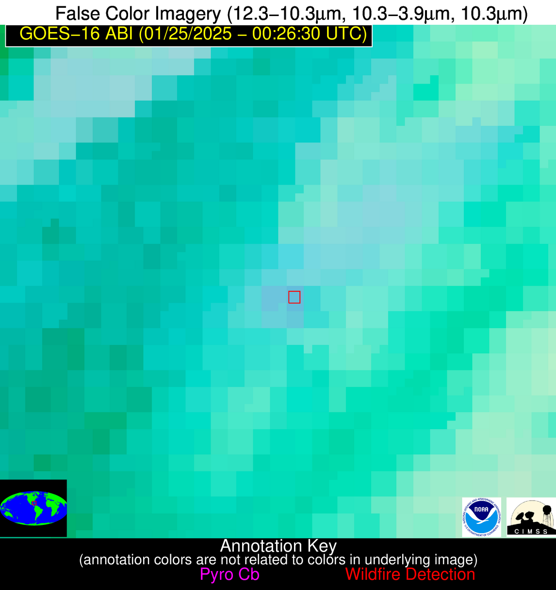
| Number Of Thermal Anomaly Alerts: | 4 |
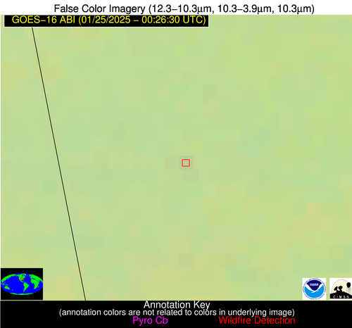
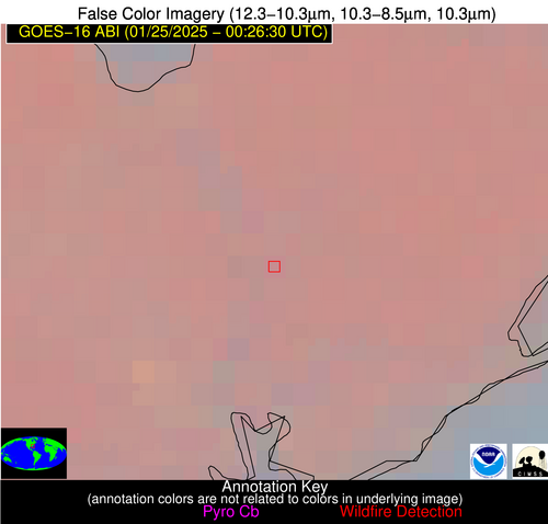
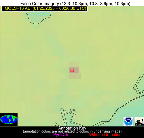
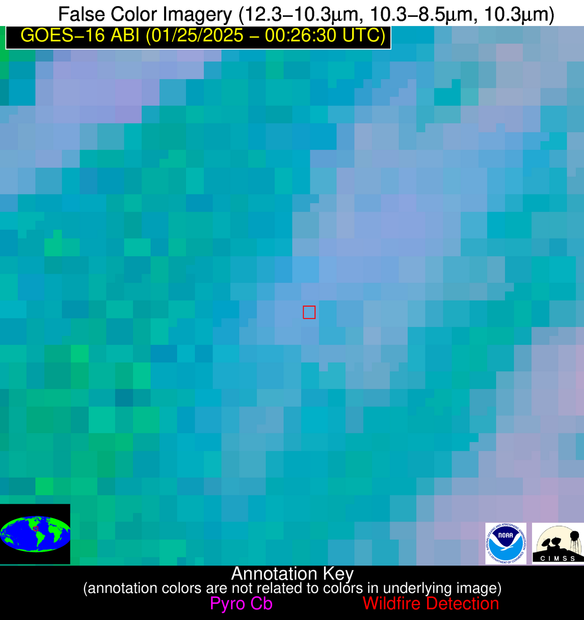
Possible Wildfire
| Basic Information | |
|---|---|
| State/Province(s) | AR |
| Country/Countries | USA |
| County/Locality(s) | Crawford County, AR |
| NWS WFO | Tulsa OK |
| Identification Method | Enhanced Contextual (Clear) |
| Mean Object Date/Time | 2025-01-25 00:27:20UTC |
| Radiative Center (Lat, Lon): | 35.640000°, -94.250000° |
| Nearby Counties (meeting alert criteria): |
|
| Total Radiative Power Anomaly | n/a |
| Total Radiative Power | 2.00 MW |
| Map: | |
| Additional Information | |
| Alert Status | New Feature |
| Type of Event | Nominal Risk |
| Event Priority Ranking | 4 |
| Maximum Observed BT (3.9 um) | 273.94 K |
| Observed - Background BT (3.9 um) | 1.87 K |
| BT Anomaly (3.9 um) | 3.55 K |
| Maximum Observed - Clear RTM BT (3.9 um) | 3.65 K |
| Maximum Observed BTD (3.9-10/11/12 um) | 2.01 K |
| Observed - Background BTD (3.9-10/11/12 um) | 1.91 K |
| BTD Anomaly (3.9-10/11/12 um) | 11.37 K |
| Similar Pixel Count | 1 |
| BT Time Tendency (3.9 um) | 0.30 K |
| Image Interval | 5.00 minutes |
| Fraction of Surrounding LWIR Pixels that are Colder | 0.44 |
| Fraction of Surrounding Red Channel Pixels that are Brighter | 1.00 |
| Maximum Radiative Power | 2.00 MW |
| Maximum Radiative Power Uncertainty | 0.00 MW |
| Total Radiative Power Uncertainty | 0.00 MW |
| Mean Viewing Angle | 46.30° |
| Mean Solar Zenith Angle | 100.40° |
| Mean Glint Angle | 86.80° |
| Water Fraction | 0.00 |
| Total Pixel Area | 6.60 km2 |
| Latest Satellite Imagery: | |
| View all event imagery » | |
Possible Wildfire
| Basic Information | |
|---|---|
| State/Province(s) | SC |
| Country/Countries | USA |
| County/Locality(s) | Berkeley County, SC |
| NWS WFO | Charleston SC |
| Identification Method | Enhanced Contextual (Clear) |
| Mean Object Date/Time | 2025-01-25 00:27:22UTC |
| Radiative Center (Lat, Lon): | 33.020000°, -79.890000° |
| Nearby Counties (meeting alert criteria): |
|
| Total Radiative Power Anomaly | n/a |
| Total Radiative Power | 14.12 MW |
| Map: | |
| Additional Information | |
| Alert Status | New Feature |
| Type of Event | Ferrous-metal |
| Event Priority Ranking | 5 |
| Maximum Observed BT (3.9 um) | 279.04 K |
| Observed - Background BT (3.9 um) | 8.09 K |
| BT Anomaly (3.9 um) | 10.25 K |
| Maximum Observed - Clear RTM BT (3.9 um) | 7.98 K |
| Maximum Observed BTD (3.9-10/11/12 um) | 7.60 K |
| Observed - Background BTD (3.9-10/11/12 um) | 7.64 K |
| BTD Anomaly (3.9-10/11/12 um) | 34.72 K |
| Similar Pixel Count | 2 |
| BT Time Tendency (3.9 um) | 5.00 K |
| Image Interval | 5.00 minutes |
| Fraction of Surrounding LWIR Pixels that are Colder | 0.72 |
| Fraction of Surrounding Red Channel Pixels that are Brighter | 1.00 |
| Maximum Radiative Power | 7.73 MW |
| Maximum Radiative Power Uncertainty | 0.00 MW |
| Total Radiative Power Uncertainty | 0.00 MW |
| Mean Viewing Angle | 38.90° |
| Mean Solar Zenith Angle | 111.40° |
| Mean Glint Angle | 106.90° |
| Water Fraction | 0.00 |
| Total Pixel Area | 11.10 km2 |
| Latest Satellite Imagery: | |
| View all event imagery » | |
Possible Wildfire
| Basic Information | |
|---|---|
| State/Province(s) | TX |
| Country/Countries | USA |
| County/Locality(s) | Panola County, TX |
| NWS WFO | Shreveport LA |
| Identification Method | Enhanced Contextual (Clear) |
| Mean Object Date/Time | 2025-01-25 00:27:20UTC |
| Radiative Center (Lat, Lon): | 32.110000°, -94.380000° |
| Nearby Counties (meeting alert criteria): |
|
| Total Radiative Power Anomaly | n/a |
| Total Radiative Power | 2.05 MW |
| Map: | |
| Additional Information | |
| Alert Status | New Feature |
| Type of Event | Nominal Risk |
| Event Priority Ranking | 4 |
| Maximum Observed BT (3.9 um) | 276.21 K |
| Observed - Background BT (3.9 um) | 1.16 K |
| BT Anomaly (3.9 um) | 1.91 K |
| Maximum Observed - Clear RTM BT (3.9 um) | 2.43 K |
| Maximum Observed BTD (3.9-10/11/12 um) | 2.02 K |
| Observed - Background BTD (3.9-10/11/12 um) | 1.90 K |
| BTD Anomaly (3.9-10/11/12 um) | 10.86 K |
| Similar Pixel Count | 1 |
| BT Time Tendency (3.9 um) | 0.10 K |
| Image Interval | 5.00 minutes |
| Fraction of Surrounding LWIR Pixels that are Colder | 0.17 |
| Fraction of Surrounding Red Channel Pixels that are Brighter | 1.00 |
| Maximum Radiative Power | 2.05 MW |
| Maximum Radiative Power Uncertainty | 0.00 MW |
| Total Radiative Power Uncertainty | 0.00 MW |
| Mean Viewing Angle | 43.00° |
| Mean Solar Zenith Angle | 99.30° |
| Mean Glint Angle | 85.70° |
| Water Fraction | 0.00 |
| Total Pixel Area | 6.10 km2 |
| Latest Satellite Imagery: | |
| View all event imagery » | |
Possible Wildfire
| Basic Information | |
|---|---|
| State/Province(s) | Unknown |
| Country/Countries | Cuba |
| County/Locality(s) | Cuba |
| NWS WFO | N/A |
| Identification Method | Enhanced Contextual (Clear) |
| Mean Object Date/Time | 2025-01-25 00:28:22UTC |
| Radiative Center (Lat, Lon): | 22.500000°, -80.500000° |
| Nearby Counties (meeting alert criteria): |
|
| Total Radiative Power Anomaly | n/a |
| Total Radiative Power | 8.15 MW |
| Map: | |
| Additional Information | |
| Alert Status | New Feature |
| Type of Event | Nominal Risk |
| Event Priority Ranking | 4 |
| Maximum Observed BT (3.9 um) | 290.21 K |
| Observed - Background BT (3.9 um) | 5.62 K |
| BT Anomaly (3.9 um) | 3.71 K |
| Maximum Observed - Clear RTM BT (3.9 um) | 2.37 K |
| Maximum Observed BTD (3.9-10/11/12 um) | 6.39 K |
| Observed - Background BTD (3.9-10/11/12 um) | 5.18 K |
| BTD Anomaly (3.9-10/11/12 um) | 6.96 K |
| Similar Pixel Count | 5 |
| BT Time Tendency (3.9 um) | 4.10 K |
| Image Interval | 5.00 minutes |
| Fraction of Surrounding LWIR Pixels that are Colder | 0.93 |
| Fraction of Surrounding Red Channel Pixels that are Brighter | 1.00 |
| Maximum Radiative Power | 8.15 MW |
| Maximum Radiative Power Uncertainty | 0.00 MW |
| Total Radiative Power Uncertainty | 0.00 MW |
| Mean Viewing Angle | 27.10° |
| Mean Solar Zenith Angle | 108.80° |
| Mean Glint Angle | 106.50° |
| Water Fraction | 0.00 |
| Total Pixel Area | 4.70 km2 |
| Latest Satellite Imagery: | |
| View all event imagery » | |

