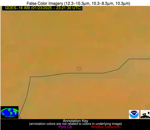
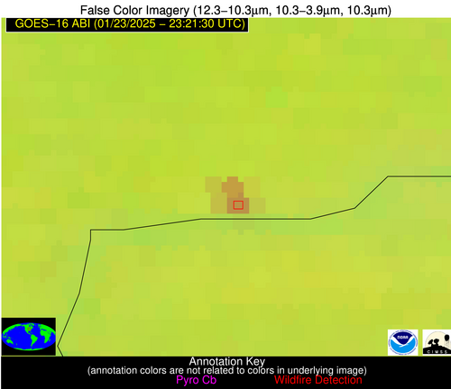
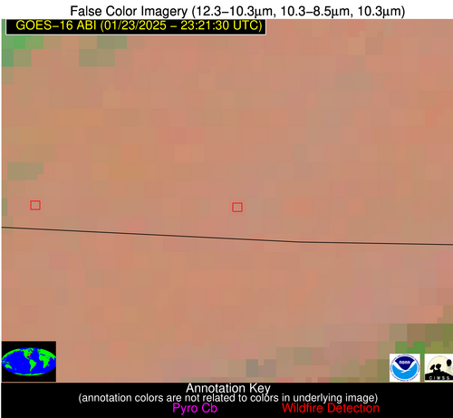
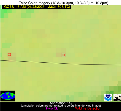
Wildfire Alert Report
| Date: | 2025-01-23 |
|---|---|
| Time: | 23:21:17 |
| Production Date and Time: | 2025-01-23 23:25:51 UTC |
| Primary Instrument: | GOES-16 ABI |
| Wmo Spacecraft Id: | 152 |
| Location/orbit: | GEO |
| L1 File: | OR_ABI-L1b-RadC-M6C14_G16_s20250232321171_e20250232323544_c20250232324037.nc |
| L1 File(s) - Temporal | OR_ABI-L1b-RadC-M6C14_G16_s20250232316171_e20250232318544_c20250232319012.nc |
| Number Of Thermal Anomaly Alerts: | 6 |
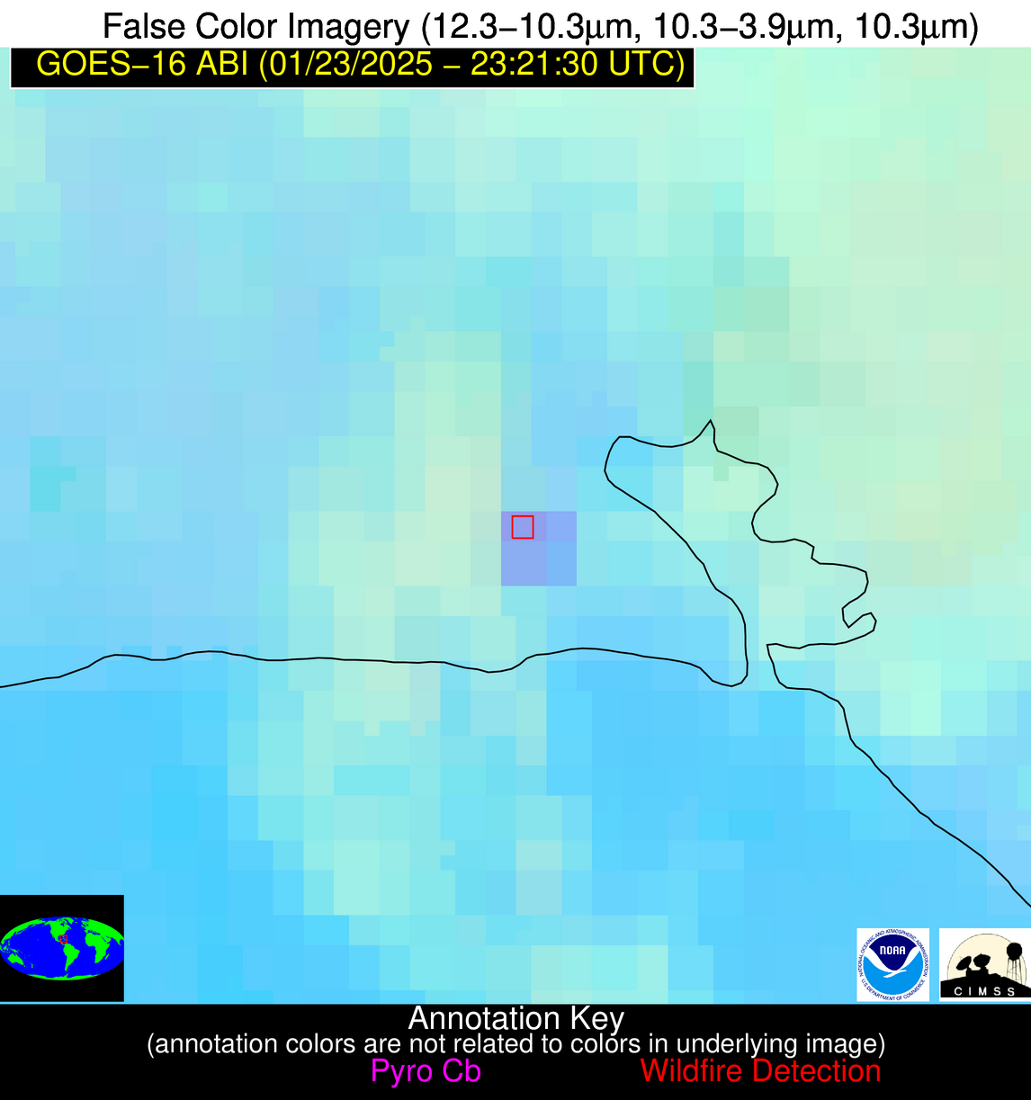
Possible Wildfire
| Basic Information | |
|---|---|
| State/Province(s) | IA |
| Country/Countries | USA |
| County/Locality(s) | Muscatine County, IA |
| NWS WFO | Quad Cities IL |
| Identification Method | Enhanced Contextual (Clear) |
| Mean Object Date/Time | 2025-01-23 23:21:51UTC |
| Radiative Center (Lat, Lon): | 41.470000°, -90.830000° |
| Nearby Counties (meeting alert criteria): |
|
| Total Radiative Power Anomaly | n/a |
| Total Radiative Power | 14.61 MW |
| Map: | |
| Additional Information | |
| Alert Status | New Feature |
| Type of Event | Ferrous-metal |
| Event Priority Ranking | 5 |
| Maximum Observed BT (3.9 um) | 267.28 K |
| Observed - Background BT (3.9 um) | 11.28 K |
| BT Anomaly (3.9 um) | 10.47 K |
| Maximum Observed - Clear RTM BT (3.9 um) | 7.68 K |
| Maximum Observed BTD (3.9-10/11/12 um) | 10.39 K |
| Observed - Background BTD (3.9-10/11/12 um) | 10.18 K |
| BTD Anomaly (3.9-10/11/12 um) | 33.58 K |
| Similar Pixel Count | 2 |
| BT Time Tendency (3.9 um) | 7.90 K |
| Image Interval | 5.00 minutes |
| Fraction of Surrounding LWIR Pixels that are Colder | 0.88 |
| Fraction of Surrounding Red Channel Pixels that are Brighter | 1.00 |
| Maximum Radiative Power | 7.42 MW |
| Maximum Radiative Power Uncertainty | 0.00 MW |
| Total Radiative Power Uncertainty | 0.00 MW |
| Mean Viewing Angle | 50.80° |
| Mean Solar Zenith Angle | 93.30° |
| Mean Glint Angle | 92.30° |
| Water Fraction | 0.00 |
| Total Pixel Area | 14.60 km2 |
| Latest Satellite Imagery: | |
| View all event imagery » | |
Possible Wildfire
| Basic Information | |
|---|---|
| State/Province(s) | VA |
| Country/Countries | USA |
| County/Locality(s) | Grayson County, VA |
| NWS WFO | Blacksburg VA |
| Identification Method | Enhanced Contextual (Clear) |
| Mean Object Date/Time | 2025-01-23 23:21:52UTC |
| Radiative Center (Lat, Lon): | 36.620000°, -81.090000° |
| Nearby Counties (meeting alert criteria): |
|
| Total Radiative Power Anomaly | n/a |
| Total Radiative Power | 2.99 MW |
| Map: | |
| Additional Information | |
| Alert Status | New Feature |
| Type of Event | Nominal Risk |
| Event Priority Ranking | 4 |
| Maximum Observed BT (3.9 um) | 270.39 K |
| Observed - Background BT (3.9 um) | 4.43 K |
| BT Anomaly (3.9 um) | 6.22 K |
| Maximum Observed - Clear RTM BT (3.9 um) | 5.79 K |
| Maximum Observed BTD (3.9-10/11/12 um) | 3.72 K |
| Observed - Background BTD (3.9-10/11/12 um) | 3.69 K |
| BTD Anomaly (3.9-10/11/12 um) | 14.82 K |
| Similar Pixel Count | 1 |
| BT Time Tendency (3.9 um) | 0.40 K |
| Image Interval | 5.00 minutes |
| Fraction of Surrounding LWIR Pixels that are Colder | 0.85 |
| Fraction of Surrounding Red Channel Pixels that are Brighter | 1.00 |
| Maximum Radiative Power | 2.99 MW |
| Maximum Radiative Power Uncertainty | 0.00 MW |
| Total Radiative Power Uncertainty | 0.00 MW |
| Mean Viewing Angle | 43.10° |
| Mean Solar Zenith Angle | 98.70° |
| Mean Glint Angle | 101.70° |
| Water Fraction | 0.00 |
| Total Pixel Area | 6.00 km2 |
| Latest Satellite Imagery: | |
| View all event imagery » | |
Possible Wildfire
| Basic Information | |
|---|---|
| State/Province(s) | AL |
| Country/Countries | USA |
| County/Locality(s) | Madison County, AL |
| NWS WFO | Huntsville AL |
| Identification Method | Enhanced Contextual (Clear) |
| Mean Object Date/Time | 2025-01-23 23:22:21UTC |
| Radiative Center (Lat, Lon): | 34.900000°, -86.510000° |
| Nearby Counties (meeting alert criteria): |
|
| Total Radiative Power Anomaly | n/a |
| Total Radiative Power | 2.12 MW |
| Map: | |
| Additional Information | |
| Alert Status | New Feature |
| Type of Event | Nominal Risk |
| Event Priority Ranking | 4 |
| Maximum Observed BT (3.9 um) | 271.67 K |
| Observed - Background BT (3.9 um) | 1.90 K |
| BT Anomaly (3.9 um) | 2.67 K |
| Maximum Observed - Clear RTM BT (3.9 um) | 3.56 K |
| Maximum Observed BTD (3.9-10/11/12 um) | 2.25 K |
| Observed - Background BTD (3.9-10/11/12 um) | 2.25 K |
| BTD Anomaly (3.9-10/11/12 um) | 8.50 K |
| Similar Pixel Count | 1 |
| BT Time Tendency (3.9 um) | 0.10 K |
| Image Interval | 5.00 minutes |
| Fraction of Surrounding LWIR Pixels that are Colder | 0.37 |
| Fraction of Surrounding Red Channel Pixels that are Brighter | 1.00 |
| Maximum Radiative Power | 2.12 MW |
| Maximum Radiative Power Uncertainty | 0.00 MW |
| Total Radiative Power Uncertainty | 0.00 MW |
| Mean Viewing Angle | 42.50° |
| Mean Solar Zenith Angle | 93.90° |
| Mean Glint Angle | 94.00° |
| Water Fraction | 0.00 |
| Total Pixel Area | 6.00 km2 |
| Latest Satellite Imagery: | |
| View all event imagery » | |
Possible Wildfire
| Basic Information | |
|---|---|
| State/Province(s) | AL |
| Country/Countries | USA |
| County/Locality(s) | Shelby County, AL |
| NWS WFO | Birmingham AL |
| Identification Method | Enhanced Contextual (Clear) |
| Mean Object Date/Time | 2025-01-23 23:22:21UTC |
| Radiative Center (Lat, Lon): | 33.090000°, -86.800000° |
| Nearby Counties (meeting alert criteria): |
|
| Total Radiative Power Anomaly | n/a |
| Total Radiative Power | 2.83 MW |
| Map: | |
| Additional Information | |
| Alert Status | New Feature |
| Type of Event | Nonmetal-mineral |
| Event Priority Ranking | 5 |
| Maximum Observed BT (3.9 um) | 275.48 K |
| Observed - Background BT (3.9 um) | 3.60 K |
| BT Anomaly (3.9 um) | 11.51 K |
| Maximum Observed - Clear RTM BT (3.9 um) | 5.55 K |
| Maximum Observed BTD (3.9-10/11/12 um) | 2.80 K |
| Observed - Background BTD (3.9-10/11/12 um) | 2.63 K |
| BTD Anomaly (3.9-10/11/12 um) | 9.38 K |
| Similar Pixel Count | 1 |
| BT Time Tendency (3.9 um) | 0.10 K |
| Image Interval | 5.00 minutes |
| Fraction of Surrounding LWIR Pixels that are Colder | 1.00 |
| Fraction of Surrounding Red Channel Pixels that are Brighter | 1.00 |
| Maximum Radiative Power | 2.83 MW |
| Maximum Radiative Power Uncertainty | 0.00 MW |
| Total Radiative Power Uncertainty | 0.00 MW |
| Mean Viewing Angle | 40.70° |
| Mean Solar Zenith Angle | 93.10° |
| Mean Glint Angle | 92.70° |
| Water Fraction | 0.00 |
| Total Pixel Area | 5.80 km2 |
| Latest Satellite Imagery: | |
| View all event imagery » | |
Possible Wildfire
| Basic Information | |
|---|---|
| State/Province(s) | TX |
| Country/Countries | USA |
| County/Locality(s) | Robertson County, TX |
| NWS WFO | Fort Worth TX |
| Identification Method | Enhanced Contextual (Cloud) |
| Mean Object Date/Time | 2025-01-23 23:22:20UTC |
| Radiative Center (Lat, Lon): | 30.870000°, -96.440000° |
| Nearby Counties (meeting alert criteria): |
|
| Total Radiative Power Anomaly | n/a |
| Total Radiative Power | 36.91 MW |
| Map: | |
| Additional Information | |
| Alert Status | New Feature |
| Type of Event | Nominal Risk |
| Event Priority Ranking | 4 |
| Maximum Observed BT (3.9 um) | 298.62 K |
| Observed - Background BT (3.9 um) | 19.68 K |
| BT Anomaly (3.9 um) | 113.34 K |
| Maximum Observed - Clear RTM BT (3.9 um) | 23.24 K |
| Maximum Observed BTD (3.9-10/11/12 um) | 19.78 K |
| Observed - Background BTD (3.9-10/11/12 um) | 18.93 K |
| BTD Anomaly (3.9-10/11/12 um) | 114.31 K |
| Similar Pixel Count | 0 |
| BT Time Tendency (3.9 um) | 18.00 K |
| Image Interval | 5.00 minutes |
| Fraction of Surrounding LWIR Pixels that are Colder | 0.95 |
| Fraction of Surrounding Red Channel Pixels that are Brighter | 1.00 |
| Maximum Radiative Power | 36.91 MW |
| Maximum Radiative Power Uncertainty | 0.00 MW |
| Total Radiative Power Uncertainty | 0.00 MW |
| Mean Viewing Angle | 43.00° |
| Mean Solar Zenith Angle | 84.70° |
| Mean Glint Angle | 78.80° |
| Water Fraction | 0.00 |
| Total Pixel Area | 6.20 km2 |
| Latest Satellite Imagery: | |
| View all event imagery » | |
Possible Wildfire
| Basic Information | |
|---|---|
| State/Province(s) | Unknown |
| Country/Countries | Cuba |
| County/Locality(s) | Cuba |
| NWS WFO | N/A |
| Identification Method | Enhanced Contextual (Clear) |
| Mean Object Date/Time | 2025-01-23 23:23:22UTC |
| Radiative Center (Lat, Lon): | 22.130000°, -80.580000° |
| Nearby Counties (meeting alert criteria): |
|
| Total Radiative Power Anomaly | n/a |
| Total Radiative Power | 49.63 MW |
| Map: | |
| Additional Information | |
| Alert Status | New Feature |
| Type of Event | Nominal Risk |
| Event Priority Ranking | 4 |
| Maximum Observed BT (3.9 um) | 297.76 K |
| Observed - Background BT (3.9 um) | 9.56 K |
| BT Anomaly (3.9 um) | 4.01 K |
| Maximum Observed - Clear RTM BT (3.9 um) | 7.45 K |
| Maximum Observed BTD (3.9-10/11/12 um) | 9.61 K |
| Observed - Background BTD (3.9-10/11/12 um) | 9.38 K |
| BTD Anomaly (3.9-10/11/12 um) | 7.01 K |
| Similar Pixel Count | 4 |
| BT Time Tendency (3.9 um) | 9.60 K |
| Image Interval | 5.00 minutes |
| Fraction of Surrounding LWIR Pixels that are Colder | 0.59 |
| Fraction of Surrounding Red Channel Pixels that are Brighter | 1.00 |
| Maximum Radiative Power | 29.87 MW |
| Maximum Radiative Power Uncertainty | 0.00 MW |
| Total Radiative Power Uncertainty | 0.00 MW |
| Mean Viewing Angle | 26.70° |
| Mean Solar Zenith Angle | 94.50° |
| Mean Glint Angle | 96.30° |
| Water Fraction | 0.00 |
| Total Pixel Area | 18.70 km2 |
| Latest Satellite Imagery: | |
| View all event imagery » | |
