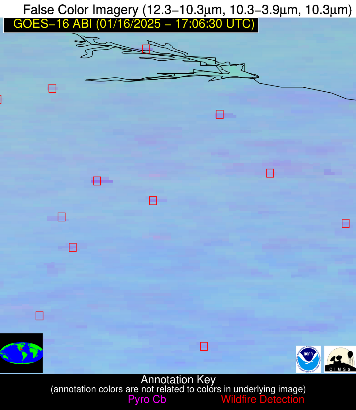
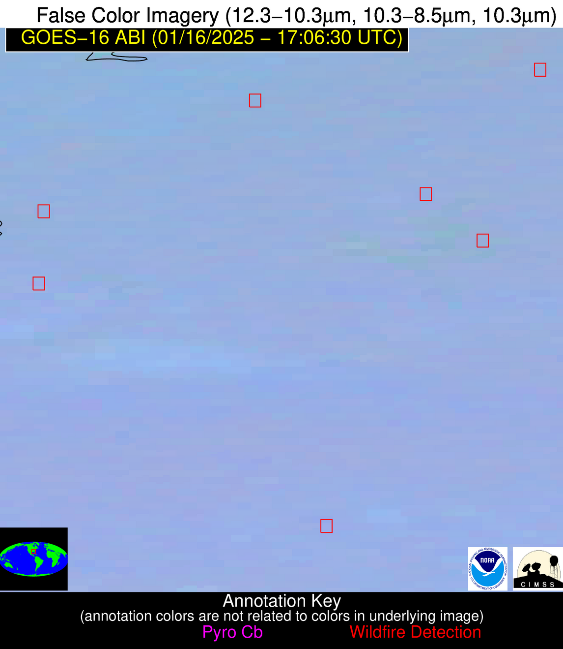
Wildfire Alert Report
| Date: | 2025-01-16 |
|---|---|
| Time: | 17:06:17 |
| Production Date and Time: | 2025-01-16 17:11:04 UTC |
| Primary Instrument: | GOES-16 ABI |
| Wmo Spacecraft Id: | 152 |
| Location/orbit: | GEO |
| L1 File: | OR_ABI-L1b-RadC-M6C14_G16_s20250161706175_e20250161708548_c20250161709028.nc |
| L1 File(s) - Temporal | OR_ABI-L1b-RadC-M6C14_G16_s20250161701175_e20250161703548_c20250161704046.nc |
| Number Of Thermal Anomaly Alerts: | 11 |
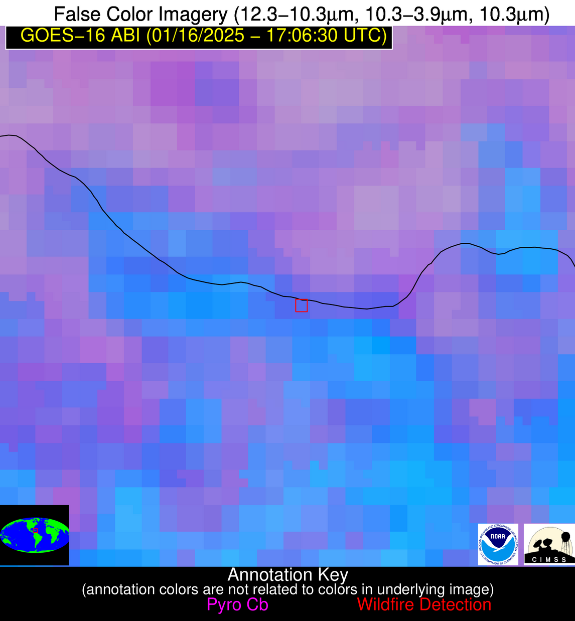
Possible Wildfire
| Basic Information | |
|---|---|
| State/Province(s) | IL |
| Country/Countries | USA |
| County/Locality(s) | Madison County, IL |
| NWS WFO | St Louis MO |
| Identification Method | Enhanced Contextual (Clear) |
| Mean Object Date/Time | 2025-01-16 17:06:51UTC |
| Radiative Center (Lat, Lon): | 38.900000°, -90.140000° |
| Nearby Counties (meeting alert criteria): |
|
| Total Radiative Power Anomaly | n/a |
| Total Radiative Power | 2.36 MW |
| Map: | |
| Additional Information | |
| Alert Status | New Feature |
| Type of Event | Ferrous-metal |
| Event Priority Ranking | 5 |
| Maximum Observed BT (3.9 um) | 282.64 K |
| Observed - Background BT (3.9 um) | 3.84 K |
| BT Anomaly (3.9 um) | 3.64 K |
| Maximum Observed - Clear RTM BT (3.9 um) | 11.45 K |
| Maximum Observed BTD (3.9-10/11/12 um) | 7.28 K |
| Observed - Background BTD (3.9-10/11/12 um) | 2.27 K |
| BTD Anomaly (3.9-10/11/12 um) | 4.89 K |
| Similar Pixel Count | 19 |
| BT Time Tendency (3.9 um) | 0.70 K |
| Image Interval | 5.00 minutes |
| Fraction of Surrounding LWIR Pixels that are Colder | 1.00 |
| Fraction of Surrounding Red Channel Pixels that are Brighter | 1.00 |
| Maximum Radiative Power | 2.36 MW |
| Maximum Radiative Power Uncertainty | 0.00 MW |
| Total Radiative Power Uncertainty | 0.00 MW |
| Mean Viewing Angle | 47.90° |
| Mean Solar Zenith Angle | 61.60° |
| Mean Glint Angle | 109.20° |
| Water Fraction | 0.00 |
| Total Pixel Area | 6.80 km2 |
| Latest Satellite Imagery: | |
| View all event imagery » | |
Possible Wildfire
| Basic Information | |
|---|---|
| State/Province(s) | SC |
| Country/Countries | USA |
| County/Locality(s) | McCormick County, SC |
| NWS WFO | Columbia SC |
| Identification Method | Enhanced Contextual (Clear) |
| Mean Object Date/Time | 2025-01-16 17:07:22UTC |
| Radiative Center (Lat, Lon): | 33.910000°, -82.440000° |
| Nearby Counties (meeting alert criteria): |
|
| Total Radiative Power Anomaly | n/a |
| Total Radiative Power | 20.78 MW |
| Map: | |
| Additional Information | |
| Alert Status | New Feature |
| Type of Event | Nominal Risk |
| Event Priority Ranking | 4 |
| Maximum Observed BT (3.9 um) | 295.28 K |
| Observed - Background BT (3.9 um) | 6.72 K |
| BT Anomaly (3.9 um) | 5.03 K |
| Maximum Observed - Clear RTM BT (3.9 um) | 14.87 K |
| Maximum Observed BTD (3.9-10/11/12 um) | 11.73 K |
| Observed - Background BTD (3.9-10/11/12 um) | 6.70 K |
| BTD Anomaly (3.9-10/11/12 um) | 11.36 K |
| Similar Pixel Count | 2 |
| BT Time Tendency (3.9 um) | 6.40 K |
| Image Interval | 5.00 minutes |
| Fraction of Surrounding LWIR Pixels that are Colder | 0.49 |
| Fraction of Surrounding Red Channel Pixels that are Brighter | 1.00 |
| Maximum Radiative Power | 20.78 MW |
| Maximum Radiative Power Uncertainty | 0.00 MW |
| Total Radiative Power Uncertainty | 0.00 MW |
| Mean Viewing Angle | 40.40° |
| Mean Solar Zenith Angle | 55.30° |
| Mean Glint Angle | 95.60° |
| Water Fraction | 0.00 |
| Total Pixel Area | 11.40 km2 |
| Latest Satellite Imagery: | |
| View all event imagery » | |
Possible Wildfire
| Basic Information | |
|---|---|
| State/Province(s) | AZ |
| Country/Countries | USA |
| County/Locality(s) | Coconino County, AZ |
| NWS WFO | Flagstaff AZ |
| Identification Method | Enhanced Contextual (Clear) |
| Mean Object Date/Time | 2025-01-16 17:07:18UTC |
| Radiative Center (Lat, Lon): | 34.670000°, -111.120000° |
| Nearby Counties (meeting alert criteria): |
|
| Total Radiative Power Anomaly | n/a |
| Total Radiative Power | 45.43 MW |
| Map: | |
| Additional Information | |
| Alert Status | New Feature |
| Type of Event | Nominal Risk, Known Incident: BLY PIT RX (HIGH, tdiff=0.06502 days, POINT) |
| Event Priority Ranking | 4 |
| Maximum Observed BT (3.9 um) | 293.05 K |
| Observed - Background BT (3.9 um) | 11.74 K |
| BT Anomaly (3.9 um) | 4.43 K |
| Maximum Observed - Clear RTM BT (3.9 um) | 12.41 K |
| Maximum Observed BTD (3.9-10/11/12 um) | 17.84 K |
| Observed - Background BTD (3.9-10/11/12 um) | 12.02 K |
| BTD Anomaly (3.9-10/11/12 um) | 7.29 K |
| Similar Pixel Count | 2 |
| BT Time Tendency (3.9 um) | 5.50 K |
| Image Interval | 5.00 minutes |
| Fraction of Surrounding LWIR Pixels that are Colder | 0.35 |
| Fraction of Surrounding Red Channel Pixels that are Brighter | 0.74 |
| Maximum Radiative Power | 45.43 MW |
| Maximum Radiative Power Uncertainty | 0.00 MW |
| Total Radiative Power Uncertainty | 0.00 MW |
| Mean Viewing Angle | 55.70° |
| Mean Solar Zenith Angle | 65.70° |
| Mean Glint Angle | 119.90° |
| Water Fraction | 0.00 |
| Total Pixel Area | 9.40 km2 |
| Latest Satellite Imagery: | |
| View all event imagery » | |
Possible Wildfire
| Basic Information | |
|---|---|
| State/Province(s) | GA |
| Country/Countries | USA |
| County/Locality(s) | Richmond County, GA |
| NWS WFO | Columbia SC |
| Identification Method | Enhanced Contextual (Clear) |
| Mean Object Date/Time | 2025-01-16 17:07:22UTC |
| Radiative Center (Lat, Lon): | 33.350000°, -82.270000° |
| Nearby Counties (meeting alert criteria): |
|
| Total Radiative Power Anomaly | n/a |
| Total Radiative Power | 27.59 MW |
| Map: | |
| Additional Information | |
| Alert Status | New Feature |
| Type of Event | Nominal Risk |
| Event Priority Ranking | 4 |
| Maximum Observed BT (3.9 um) | 298.08 K |
| Observed - Background BT (3.9 um) | 6.12 K |
| BT Anomaly (3.9 um) | 5.75 K |
| Maximum Observed - Clear RTM BT (3.9 um) | 16.22 K |
| Maximum Observed BTD (3.9-10/11/12 um) | 11.67 K |
| Observed - Background BTD (3.9-10/11/12 um) | 5.44 K |
| BTD Anomaly (3.9-10/11/12 um) | 8.43 K |
| Similar Pixel Count | 4 |
| BT Time Tendency (3.9 um) | 4.20 K |
| Image Interval | 5.00 minutes |
| Fraction of Surrounding LWIR Pixels that are Colder | 0.88 |
| Fraction of Surrounding Red Channel Pixels that are Brighter | 1.00 |
| Maximum Radiative Power | 27.59 MW |
| Maximum Radiative Power Uncertainty | 0.00 MW |
| Total Radiative Power Uncertainty | 0.00 MW |
| Mean Viewing Angle | 39.70° |
| Mean Solar Zenith Angle | 54.70° |
| Mean Glint Angle | 94.40° |
| Water Fraction | 0.00 |
| Total Pixel Area | 16.90 km2 |
| Latest Satellite Imagery: | |
| View all event imagery » | |
Possible Wildfire
| Basic Information | |
|---|---|
| State/Province(s) | AL |
| Country/Countries | USA |
| County/Locality(s) | Talladega County, AL |
| NWS WFO | Birmingham AL |
| Identification Method | Enhanced Contextual (Clear) |
| Mean Object Date/Time | 2025-01-16 17:07:21UTC |
| Radiative Center (Lat, Lon): | 33.290000°, -86.120000° |
| Nearby Counties (meeting alert criteria): |
|
| Total Radiative Power Anomaly | n/a |
| Total Radiative Power | 15.22 MW |
| Map: | |
| Additional Information | |
| Alert Status | New Feature |
| Type of Event | Nominal Risk, Known Incident: LOST MOTORWAY RX (HIGH, tdiff=1.79622 days, POINT) |
| Event Priority Ranking | 4 |
| Maximum Observed BT (3.9 um) | 294.53 K |
| Observed - Background BT (3.9 um) | 3.81 K |
| BT Anomaly (3.9 um) | 3.83 K |
| Maximum Observed - Clear RTM BT (3.9 um) | 13.22 K |
| Maximum Observed BTD (3.9-10/11/12 um) | 9.66 K |
| Observed - Background BTD (3.9-10/11/12 um) | 3.91 K |
| BTD Anomaly (3.9-10/11/12 um) | 7.90 K |
| Similar Pixel Count | 4 |
| BT Time Tendency (3.9 um) | 1.70 K |
| Image Interval | 5.00 minutes |
| Fraction of Surrounding LWIR Pixels that are Colder | 0.48 |
| Fraction of Surrounding Red Channel Pixels that are Brighter | 1.00 |
| Maximum Radiative Power | 8.21 MW |
| Maximum Radiative Power Uncertainty | 0.00 MW |
| Total Radiative Power Uncertainty | 0.00 MW |
| Mean Viewing Angle | 40.70° |
| Mean Solar Zenith Angle | 55.30° |
| Mean Glint Angle | 95.80° |
| Water Fraction | 0.00 |
| Total Pixel Area | 11.50 km2 |
| Latest Satellite Imagery: | |
| View all event imagery » | |
Possible Wildfire
| Basic Information | |
|---|---|
| State/Province(s) | AL |
| Country/Countries | USA |
| County/Locality(s) | Pike County, AL |
| NWS WFO | Birmingham AL |
| Identification Method | Enhanced Contextual (Clear) |
| Mean Object Date/Time | 2025-01-16 17:07:21UTC |
| Radiative Center (Lat, Lon): | 31.760000°, -86.030000° |
| Nearby Counties (meeting alert criteria): |
|
| Total Radiative Power Anomaly | n/a |
| Total Radiative Power | 14.00 MW |
| Map: | |
| Additional Information | |
| Alert Status | New Feature |
| Type of Event | Nominal Risk |
| Event Priority Ranking | 4 |
| Maximum Observed BT (3.9 um) | 299.71 K |
| Observed - Background BT (3.9 um) | 7.10 K |
| BT Anomaly (3.9 um) | 7.34 K |
| Maximum Observed - Clear RTM BT (3.9 um) | 15.75 K |
| Maximum Observed BTD (3.9-10/11/12 um) | 11.84 K |
| Observed - Background BTD (3.9-10/11/12 um) | 6.50 K |
| BTD Anomaly (3.9-10/11/12 um) | 11.78 K |
| Similar Pixel Count | 1 |
| BT Time Tendency (3.9 um) | 5.90 K |
| Image Interval | 5.00 minutes |
| Fraction of Surrounding LWIR Pixels that are Colder | 0.90 |
| Fraction of Surrounding Red Channel Pixels that are Brighter | 0.99 |
| Maximum Radiative Power | 14.00 MW |
| Maximum Radiative Power Uncertainty | 0.00 MW |
| Total Radiative Power Uncertainty | 0.00 MW |
| Mean Viewing Angle | 39.00° |
| Mean Solar Zenith Angle | 53.80° |
| Mean Glint Angle | 92.60° |
| Water Fraction | 0.00 |
| Total Pixel Area | 5.60 km2 |
| Latest Satellite Imagery: | |
| View all event imagery » | |
Possible Wildfire
| Basic Information | |
|---|---|
| State/Province(s) | GA |
| Country/Countries | USA |
| County/Locality(s) | Pierce County, GA |
| NWS WFO | Jacksonville FL |
| Identification Method | Enhanced Contextual (Clear) |
| Mean Object Date/Time | 2025-01-16 17:07:22UTC |
| Radiative Center (Lat, Lon): | 31.370000°, -82.310000° |
| Nearby Counties (meeting alert criteria): |
|
| Total Radiative Power Anomaly | n/a |
| Total Radiative Power | 8.16 MW |
| Map: | |
| Additional Information | |
| Alert Status | New Feature |
| Type of Event | Nominal Risk |
| Event Priority Ranking | 4 |
| Maximum Observed BT (3.9 um) | 298.93 K |
| Observed - Background BT (3.9 um) | 3.95 K |
| BT Anomaly (3.9 um) | 3.11 K |
| Maximum Observed - Clear RTM BT (3.9 um) | 14.19 K |
| Maximum Observed BTD (3.9-10/11/12 um) | 10.38 K |
| Observed - Background BTD (3.9-10/11/12 um) | 3.79 K |
| BTD Anomaly (3.9-10/11/12 um) | 4.67 K |
| Similar Pixel Count | 12 |
| BT Time Tendency (3.9 um) | 1.70 K |
| Image Interval | 5.00 minutes |
| Fraction of Surrounding LWIR Pixels that are Colder | 0.62 |
| Fraction of Surrounding Red Channel Pixels that are Brighter | 0.91 |
| Maximum Radiative Power | 8.16 MW |
| Maximum Radiative Power Uncertainty | 0.00 MW |
| Total Radiative Power Uncertainty | 0.00 MW |
| Mean Viewing Angle | 37.50° |
| Mean Solar Zenith Angle | 52.80° |
| Mean Glint Angle | 90.20° |
| Water Fraction | 0.00 |
| Total Pixel Area | 5.40 km2 |
| Latest Satellite Imagery: | |
| View all event imagery » | |
Possible Wildfire
| Basic Information | |
|---|---|
| State/Province(s) | TX |
| Country/Countries | USA |
| County/Locality(s) | Jackson County, TX |
| NWS WFO | Houston/Galveston TX |
| Identification Method | Enhanced Contextual (Clear) |
| Mean Object Date/Time | 2025-01-16 17:07:50UTC |
| Radiative Center (Lat, Lon): | 29.080000°, -96.890000° |
| Nearby Counties (meeting alert criteria): |
|
| Total Radiative Power Anomaly | n/a |
| Total Radiative Power | 23.36 MW |
| Map: | |
| Additional Information | |
| Alert Status | New Feature |
| Type of Event | Nominal Risk |
| Event Priority Ranking | 4 |
| Maximum Observed BT (3.9 um) | 296.79 K |
| Observed - Background BT (3.9 um) | 2.95 K |
| BT Anomaly (3.9 um) | 2.88 K |
| Maximum Observed - Clear RTM BT (3.9 um) | 10.76 K |
| Maximum Observed BTD (3.9-10/11/12 um) | 9.65 K |
| Observed - Background BTD (3.9-10/11/12 um) | 3.25 K |
| BTD Anomaly (3.9-10/11/12 um) | 8.14 K |
| Similar Pixel Count | 11 |
| BT Time Tendency (3.9 um) | -0.20 K |
| Image Interval | 5.00 minutes |
| Fraction of Surrounding LWIR Pixels that are Colder | 0.56 |
| Fraction of Surrounding Red Channel Pixels that are Brighter | 0.83 |
| Maximum Radiative Power | 8.37 MW |
| Maximum Radiative Power Uncertainty | 0.00 MW |
| Total Radiative Power Uncertainty | 0.00 MW |
| Mean Viewing Angle | 41.70° |
| Mean Solar Zenith Angle | 54.50° |
| Mean Glint Angle | 95.40° |
| Water Fraction | 0.00 |
| Total Pixel Area | 18.00 km2 |
| Latest Satellite Imagery: | |
| View all event imagery » | |
Possible Wildfire
| Basic Information | |
|---|---|
| State/Province(s) | TX |
| Country/Countries | USA |
| County/Locality(s) | Karnes County, TX |
| NWS WFO | Austin/San Antonio TX |
| Identification Method | Enhanced Contextual (Clear) |
| Mean Object Date/Time | 2025-01-16 17:07:50UTC |
| Radiative Center (Lat, Lon): | 28.750000°, -97.790000° |
| Nearby Counties (meeting alert criteria): |
|
| Total Radiative Power Anomaly | n/a |
| Total Radiative Power | 13.22 MW |
| Map: | |
| Additional Information | |
| Alert Status | New Feature |
| Type of Event | Nominal Risk |
| Event Priority Ranking | 4 |
| Maximum Observed BT (3.9 um) | 298.62 K |
| Observed - Background BT (3.9 um) | 2.50 K |
| BT Anomaly (3.9 um) | 2.60 K |
| Maximum Observed - Clear RTM BT (3.9 um) | 11.13 K |
| Maximum Observed BTD (3.9-10/11/12 um) | 10.36 K |
| Observed - Background BTD (3.9-10/11/12 um) | 2.49 K |
| BTD Anomaly (3.9-10/11/12 um) | 3.47 K |
| Similar Pixel Count | 25 |
| BT Time Tendency (3.9 um) | 1.30 K |
| Image Interval | 5.00 minutes |
| Fraction of Surrounding LWIR Pixels that are Colder | 0.54 |
| Fraction of Surrounding Red Channel Pixels that are Brighter | 1.00 |
| Maximum Radiative Power | 7.02 MW |
| Maximum Radiative Power Uncertainty | 0.00 MW |
| Total Radiative Power Uncertainty | 0.00 MW |
| Mean Viewing Angle | 41.90° |
| Mean Solar Zenith Angle | 54.50° |
| Mean Glint Angle | 95.60° |
| Water Fraction | 0.00 |
| Total Pixel Area | 12.10 km2 |
| Latest Satellite Imagery: | |
| View all event imagery » | |
Possible Wildfire
| Basic Information | |
|---|---|
| State/Province(s) | FL |
| Country/Countries | USA |
| County/Locality(s) | Hardee County, FL |
| NWS WFO | Tampa Bay Ruskin FL |
| Identification Method | Enhanced Contextual (Cloud) |
| Mean Object Date/Time | 2025-01-16 17:07:52UTC |
| Radiative Center (Lat, Lon): | 27.480000°, -81.630000° |
| Nearby Counties (meeting alert criteria): |
|
| Total Radiative Power Anomaly | n/a |
| Total Radiative Power | 32.80 MW |
| Map: | |
| Additional Information | |
| Alert Status | New Feature |
| Type of Event | Nominal Risk |
| Event Priority Ranking | 4 |
| Maximum Observed BT (3.9 um) | 308.86 K |
| Observed - Background BT (3.9 um) | 10.69 K |
| BT Anomaly (3.9 um) | 5.10 K |
| Maximum Observed - Clear RTM BT (3.9 um) | 22.05 K |
| Maximum Observed BTD (3.9-10/11/12 um) | 30.76 K |
| Observed - Background BTD (3.9-10/11/12 um) | 10.49 K |
| BTD Anomaly (3.9-10/11/12 um) | 3.65 K |
| Similar Pixel Count | 0 |
| BT Time Tendency (3.9 um) | 6.40 K |
| Image Interval | 5.00 minutes |
| Fraction of Surrounding LWIR Pixels that are Colder | 0.95 |
| Fraction of Surrounding Red Channel Pixels that are Brighter | 0.74 |
| Maximum Radiative Power | 32.80 MW |
| Maximum Radiative Power Uncertainty | 0.00 MW |
| Total Radiative Power Uncertainty | 0.00 MW |
| Mean Viewing Angle | 33.00° |
| Mean Solar Zenith Angle | 48.80° |
| Mean Glint Angle | 81.80° |
| Water Fraction | 0.00 |
| Total Pixel Area | 5.10 km2 |
| Latest Satellite Imagery: | |
| View all event imagery » | |
Possible Wildfire
| Basic Information | |
|---|---|
| State/Province(s) | Unknown |
| Country/Countries | Dominican Republic |
| County/Locality(s) | Dominican Republic |
| NWS WFO | N/A |
| Identification Method | Enhanced Contextual (Clear) |
| Mean Object Date/Time | 2025-01-16 17:08:23UTC |
| Radiative Center (Lat, Lon): | 19.620000°, -70.190000° |
| Nearby Counties (meeting alert criteria): |
|
| Total Radiative Power Anomaly | n/a |
| Total Radiative Power | 7.53 MW |
| Map: | |
| Additional Information | |
| Alert Status | New Feature |
| Type of Event | Nominal Risk |
| Event Priority Ranking | 4 |
| Maximum Observed BT (3.9 um) | 305.36 K |
| Observed - Background BT (3.9 um) | 3.00 K |
| BT Anomaly (3.9 um) | 1.65 K |
| Maximum Observed - Clear RTM BT (3.9 um) | 7.26 K |
| Maximum Observed BTD (3.9-10/11/12 um) | 18.32 K |
| Observed - Background BTD (3.9-10/11/12 um) | 2.99 K |
| BTD Anomaly (3.9-10/11/12 um) | 1.86 K |
| Similar Pixel Count | 23 |
| BT Time Tendency (3.9 um) | 1.00 K |
| Image Interval | 5.00 minutes |
| Fraction of Surrounding LWIR Pixels that are Colder | 0.52 |
| Fraction of Surrounding Red Channel Pixels that are Brighter | 0.93 |
| Maximum Radiative Power | 7.53 MW |
| Maximum Radiative Power Uncertainty | 0.00 MW |
| Total Radiative Power Uncertainty | 0.00 MW |
| Mean Viewing Angle | 23.80° |
| Mean Solar Zenith Angle | 40.70° |
| Mean Glint Angle | 64.30° |
| Water Fraction | 0.00 |
| Total Pixel Area | 4.50 km2 |
| Latest Satellite Imagery: | |
| View all event imagery » | |


