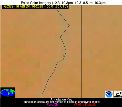
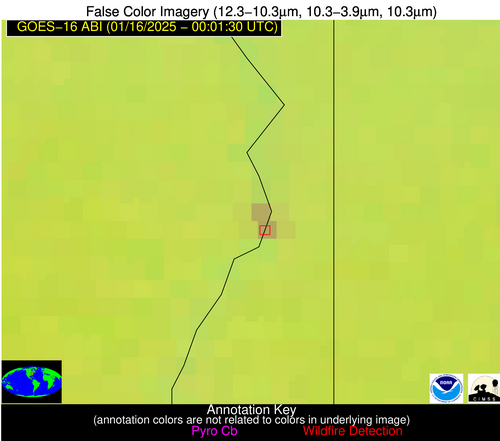
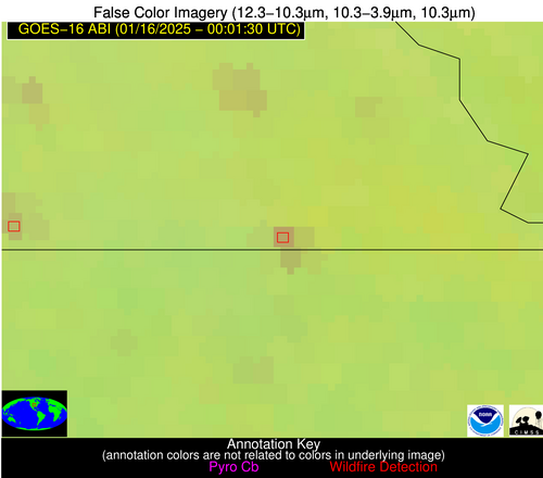
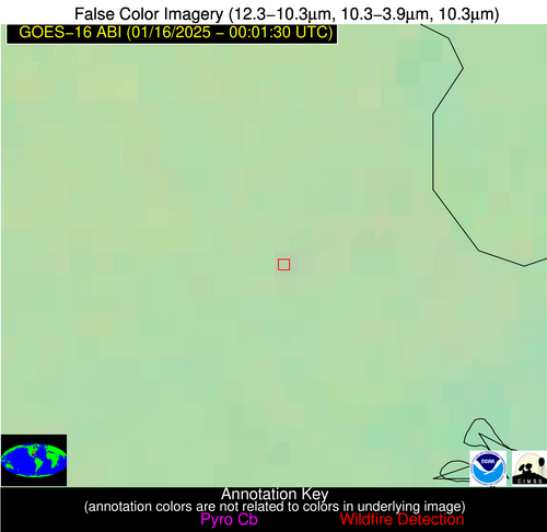
Jan 2026: Due to an ongoing data center cooling system construction project, NGFS data outages may occur with little or no notice. Bitterly cold air in Madison Jan 22-24 increases risk of outages.
Wildfire Alert Report
| Date: | 2025-01-16 |
|---|---|
| Time: | 00:01:17 |
| Production Date and Time: | 2025-01-16 00:05:47 UTC |
| Primary Instrument: | GOES-16 ABI |
| Wmo Spacecraft Id: | 152 |
| Location/orbit: | GEO |
| L1 File: | OR_ABI-L1b-RadC-M6C14_G16_s20250160001174_e20250160003547_c20250160004044.nc |
| L1 File(s) - Temporal | OR_ABI-L1b-RadC-M6C14_G16_s20250152356174_e20250152358547_c20250152359030.nc |
| Number Of Thermal Anomaly Alerts: | 4 |
Possible Wildfire
| Basic Information | |
|---|---|
| State/Province(s) | WV |
| Country/Countries | USA |
| County/Locality(s) | Brooke County, WV |
| NWS WFO | Pittsburgh PA |
| Identification Method | Enhanced Contextual (Clear) |
| Mean Object Date/Time | 2025-01-16 00:01:52UTC |
| Radiative Center (Lat, Lon): | 40.290000°, -80.610000° |
| Nearby Counties (meeting alert criteria): |
|
| Total Radiative Power Anomaly | n/a |
| Total Radiative Power | 10.66 MW |
| Map: | |
| Additional Information | |
| Alert Status | New Feature |
| Type of Event | Nominal Risk |
| Event Priority Ranking | 4 |
| Maximum Observed BT (3.9 um) | 268.89 K |
| Observed - Background BT (3.9 um) | 8.99 K |
| BT Anomaly (3.9 um) | 9.72 K |
| Maximum Observed - Clear RTM BT (3.9 um) | 8.05 K |
| Maximum Observed BTD (3.9-10/11/12 um) | 7.55 K |
| Observed - Background BTD (3.9-10/11/12 um) | 7.52 K |
| BTD Anomaly (3.9-10/11/12 um) | 28.86 K |
| Similar Pixel Count | 2 |
| BT Time Tendency (3.9 um) | 7.70 K |
| Image Interval | 5.00 minutes |
| Fraction of Surrounding LWIR Pixels that are Colder | 0.98 |
| Fraction of Surrounding Red Channel Pixels that are Brighter | 1.00 |
| Maximum Radiative Power | 5.50 MW |
| Maximum Radiative Power Uncertainty | 0.00 MW |
| Total Radiative Power Uncertainty | 0.00 MW |
| Mean Viewing Angle | 47.20° |
| Mean Solar Zenith Angle | 108.80° |
| Mean Glint Angle | 105.10° |
| Water Fraction | 0.00 |
| Total Pixel Area | 13.00 km2 |
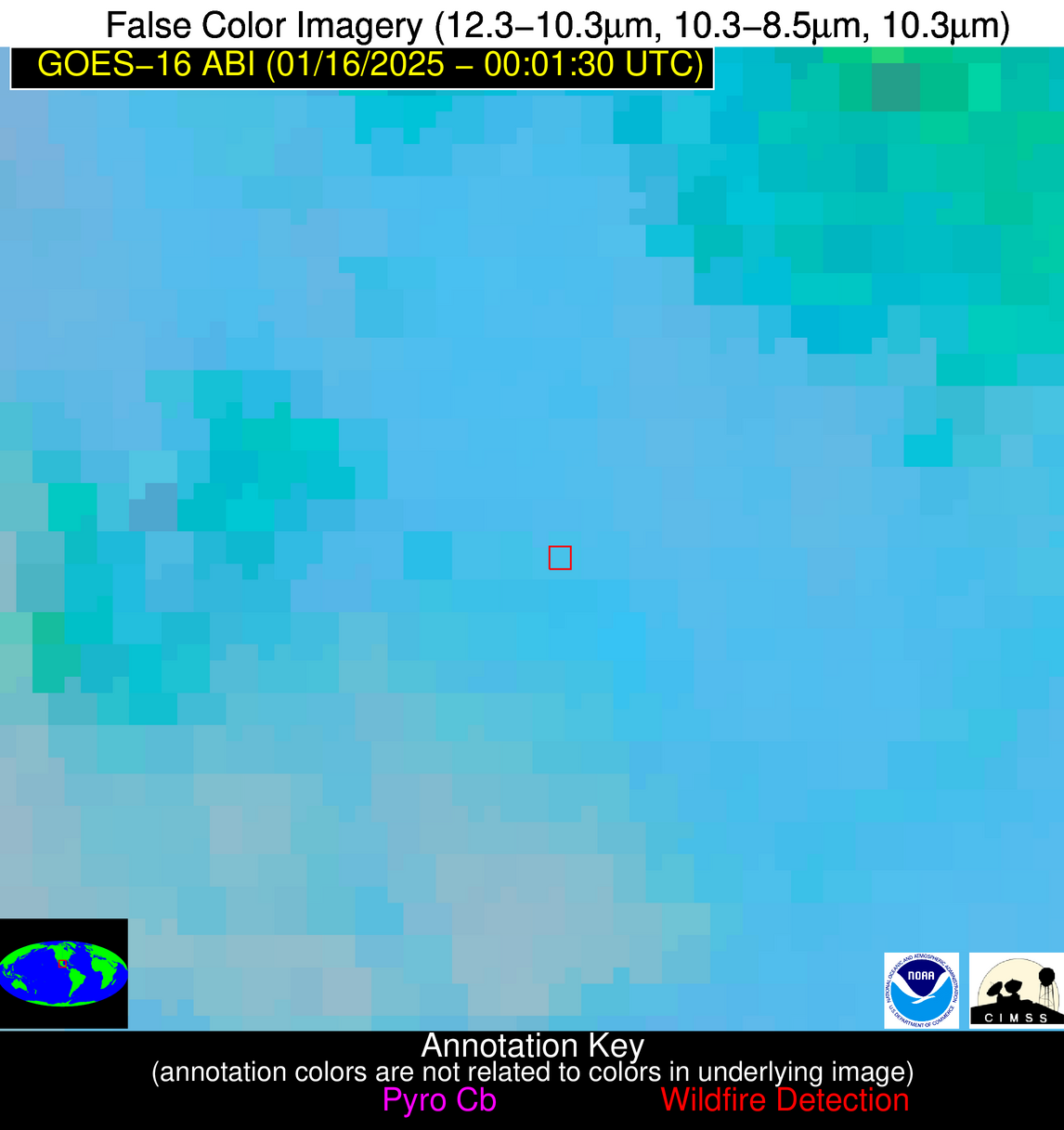
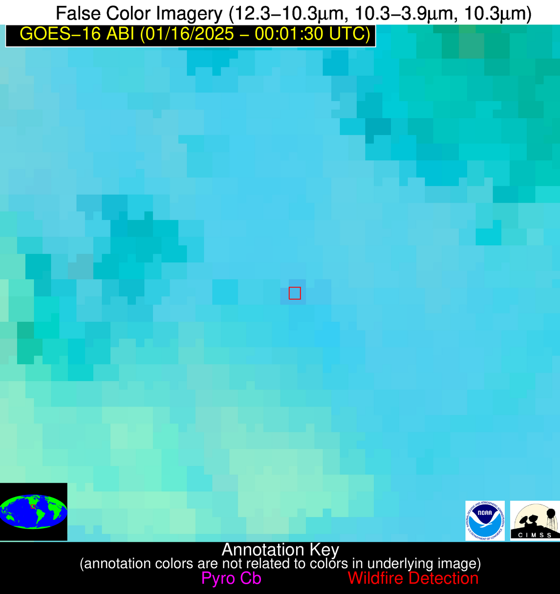
| Latest Satellite Imagery: | |
| View all event imagery » | |
Possible Wildfire
| Basic Information | |
|---|---|
| State/Province(s) | NE |
| Country/Countries | USA |
| County/Locality(s) | Richardson County, NE |
| NWS WFO | Omaha/Valley NE |
| Identification Method | Enhanced Contextual (Clear) |
| Mean Object Date/Time | 2025-01-16 00:01:50UTC |
| Radiative Center (Lat, Lon): | 40.010000°, -95.680000° |
| Nearby Counties (meeting alert criteria): |
|
| Total Radiative Power Anomaly | n/a |
| Total Radiative Power | 6.63 MW |
| Map: | |
| Additional Information | |
| Alert Status | New Feature |
| Type of Event | Nominal Risk |
| Event Priority Ranking | 4 |
| Maximum Observed BT (3.9 um) | 270.52 K |
| Observed - Background BT (3.9 um) | 7.29 K |
| BT Anomaly (3.9 um) | 6.31 K |
| Maximum Observed - Clear RTM BT (3.9 um) | 4.61 K |
| Maximum Observed BTD (3.9-10/11/12 um) | 8.03 K |
| Observed - Background BTD (3.9-10/11/12 um) | 7.41 K |
| BTD Anomaly (3.9-10/11/12 um) | 14.33 K |
| Similar Pixel Count | 1 |
| BT Time Tendency (3.9 um) | 1.90 K |
| Image Interval | 5.00 minutes |
| Fraction of Surrounding LWIR Pixels that are Colder | 0.43 |
| Fraction of Surrounding Red Channel Pixels that are Brighter | 1.00 |
| Maximum Radiative Power | 6.63 MW |
| Maximum Radiative Power Uncertainty | 0.00 MW |
| Total Radiative Power Uncertainty | 0.00 MW |
| Mean Viewing Angle | 51.20° |
| Mean Solar Zenith Angle | 97.60° |
| Mean Glint Angle | 87.60° |
| Water Fraction | 0.00 |
| Total Pixel Area | 7.50 km2 |
| Latest Satellite Imagery: | |
| View all event imagery » | |
Possible Wildfire
| Basic Information | |
|---|---|
| State/Province(s) | GA |
| Country/Countries | USA |
| County/Locality(s) | Chatham County, GA |
| NWS WFO | Charleston SC |
| Identification Method | Enhanced Contextual (Clear) |
| Mean Object Date/Time | 2025-01-16 00:02:22UTC |
| Radiative Center (Lat, Lon): | 32.080000°, -81.310000° |
| Nearby Counties (meeting alert criteria): |
|
| Total Radiative Power Anomaly | n/a |
| Total Radiative Power | 1.70 MW |
| Map: | |
| Additional Information | |
| Alert Status | New Feature |
| Type of Event | Nominal Risk |
| Event Priority Ranking | 4 |
| Maximum Observed BT (3.9 um) | 278.67 K |
| Observed - Background BT (3.9 um) | 2.30 K |
| BT Anomaly (3.9 um) | 4.54 K |
| Maximum Observed - Clear RTM BT (3.9 um) | 1.88 K |
| Maximum Observed BTD (3.9-10/11/12 um) | 2.22 K |
| Observed - Background BTD (3.9-10/11/12 um) | 1.59 K |
| BTD Anomaly (3.9-10/11/12 um) | 7.74 K |
| Similar Pixel Count | 1 |
| BT Time Tendency (3.9 um) | 0.20 K |
| Image Interval | 5.00 minutes |
| Fraction of Surrounding LWIR Pixels that are Colder | 0.90 |
| Fraction of Surrounding Red Channel Pixels that are Brighter | 1.00 |
| Maximum Radiative Power | 1.70 MW |
| Maximum Radiative Power Uncertainty | 0.00 MW |
| Total Radiative Power Uncertainty | 0.00 MW |
| Mean Viewing Angle | 38.10° |
| Mean Solar Zenith Angle | 106.30° |
| Mean Glint Angle | 104.70° |
| Water Fraction | 0.00 |
| Total Pixel Area | 5.50 km2 |
| Latest Satellite Imagery: | |
| View all event imagery » | |
Possible Wildfire
| Basic Information | |
|---|---|
| State/Province(s) | San Luis Potosí |
| Country/Countries | Mexico |
| County/Locality(s) | Ciudad Valles, San Luis Potosí |
| NWS WFO | N/A |
| Identification Method | Enhanced Contextual (Clear) |
| Mean Object Date/Time | 2025-01-16 00:03:19UTC |
| Radiative Center (Lat, Lon): | 22.030000°, -99.040000° |
| Nearby Counties (meeting alert criteria): |
|
| Total Radiative Power Anomaly | n/a |
| Total Radiative Power | 6.74 MW |
| Map: | |
| Additional Information | |
| Alert Status | New Feature |
| Type of Event | Nominal Risk |
| Event Priority Ranking | 4 |
| Maximum Observed BT (3.9 um) | 293.53 K |
| Observed - Background BT (3.9 um) | 3.28 K |
| BT Anomaly (3.9 um) | 2.92 K |
| Maximum Observed - Clear RTM BT (3.9 um) | 3.86 K |
| Maximum Observed BTD (3.9-10/11/12 um) | 7.66 K |
| Observed - Background BTD (3.9-10/11/12 um) | 3.41 K |
| BTD Anomaly (3.9-10/11/12 um) | 6.91 K |
| Similar Pixel Count | 4 |
| BT Time Tendency (3.9 um) | 2.20 K |
| Image Interval | 5.00 minutes |
| Fraction of Surrounding LWIR Pixels that are Colder | 0.50 |
| Fraction of Surrounding Red Channel Pixels that are Brighter | 1.00 |
| Maximum Radiative Power | 6.74 MW |
| Maximum Radiative Power Uncertainty | 0.00 MW |
| Total Radiative Power Uncertainty | 0.00 MW |
| Mean Viewing Angle | 37.50° |
| Mean Solar Zenith Angle | 88.10° |
| Mean Glint Angle | 72.80° |
| Water Fraction | 0.00 |
| Total Pixel Area | 5.50 km2 |
| Latest Satellite Imagery: | |
| View all event imagery » | |
