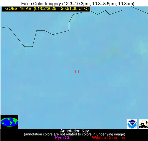
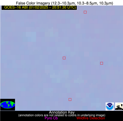
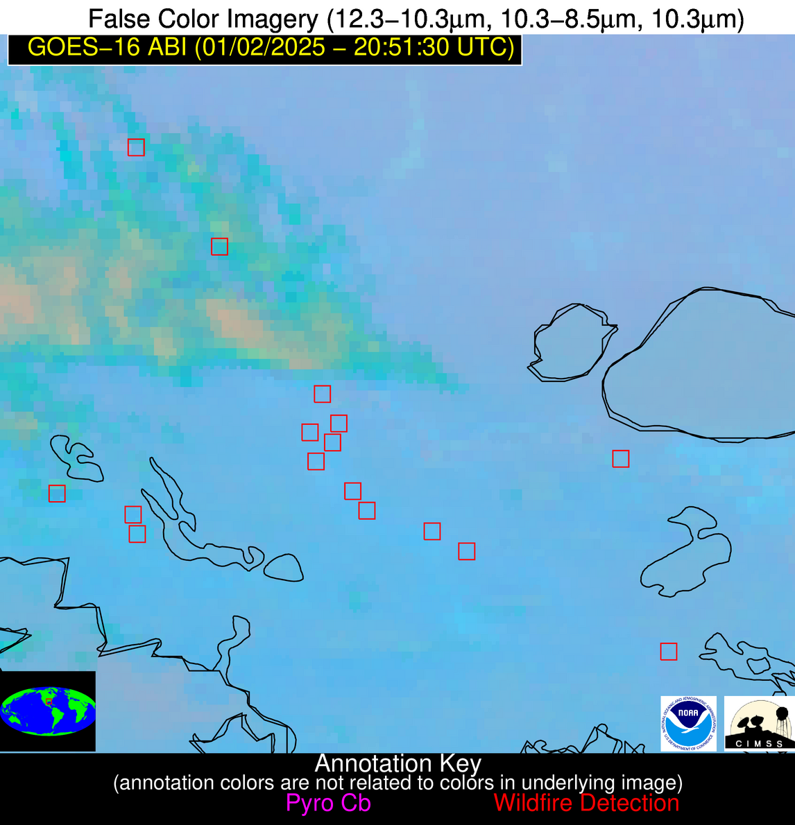
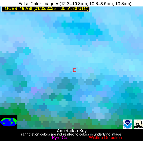
10 Jan 2026: Notice to users: ongoing data center construction may unexpectedly interrupt NGFS product generation.
Wildfire Alert Report
| Date: | 2025-01-02 |
|---|---|
| Time: | 20:51:17 |
| Production Date and Time: | 2025-01-02 20:56:05 UTC |
| Primary Instrument: | GOES-16 ABI |
| Wmo Spacecraft Id: | 152 |
| Location/orbit: | GEO |
| L1 File: | OR_ABI-L1b-RadC-M6C14_G16_s20250022051174_e20250022053547_c20250022054027.nc |
| L1 File(s) - Temporal | OR_ABI-L1b-RadC-M6C14_G16_s20250022046174_e20250022048547_c20250022049035.nc |
| Number Of Thermal Anomaly Alerts: | 7 |
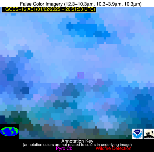
Possible Wildfire
| Basic Information | |
|---|---|
| State/Province(s) | TX |
| Country/Countries | USA |
| County/Locality(s) | Hansford County, TX |
| NWS WFO | Amarillo TX |
| Identification Method | Enhanced Contextual (Clear) |
| Mean Object Date/Time | 2025-01-02 20:52:19UTC |
| Radiative Center (Lat, Lon): | 36.410000°, -101.150000° |
| Nearby Counties (meeting alert criteria): |
|
| Total Radiative Power Anomaly | n/a |
| Total Radiative Power | 7.60 MW |
| Map: | |
| Additional Information | |
| Alert Status | New Feature |
| Type of Event | Nominal Risk |
| Event Priority Ranking | 4 |
| Maximum Observed BT (3.9 um) | 294.32 K |
| Observed - Background BT (3.9 um) | 2.98 K |
| BT Anomaly (3.9 um) | 3.15 K |
| Maximum Observed - Clear RTM BT (3.9 um) | 15.72 K |
| Maximum Observed BTD (3.9-10/11/12 um) | 8.38 K |
| Observed - Background BTD (3.9-10/11/12 um) | 2.67 K |
| BTD Anomaly (3.9-10/11/12 um) | 4.45 K |
| Similar Pixel Count | 15 |
| BT Time Tendency (3.9 um) | 1.50 K |
| Image Interval | 5.00 minutes |
| Fraction of Surrounding LWIR Pixels that are Colder | 0.76 |
| Fraction of Surrounding Red Channel Pixels that are Brighter | 1.00 |
| Maximum Radiative Power | 7.60 MW |
| Maximum Radiative Power Uncertainty | 0.00 MW |
| Total Radiative Power Uncertainty | 0.00 MW |
| Mean Viewing Angle | 50.60° |
| Mean Solar Zenith Angle | 65.90° |
| Mean Glint Angle | 88.70° |
| Water Fraction | 0.00 |
| Total Pixel Area | 7.60 km2 |
| Latest Satellite Imagery: | |
| View all event imagery » | |
Possible Wildfire
| Basic Information | |
|---|---|
| State/Province(s) | NC |
| Country/Countries | USA |
| County/Locality(s) | Harnett County, NC |
| NWS WFO | Raleigh NC |
| Identification Method | Enhanced Contextual (Clear) |
| Mean Object Date/Time | 2025-01-02 20:52:22UTC |
| Radiative Center (Lat, Lon): | 35.470000°, -78.930000° |
| Nearby Counties (meeting alert criteria): |
|
| Total Radiative Power Anomaly | n/a |
| Total Radiative Power | 6.83 MW |
| Map: | |
| Additional Information | |
| Alert Status | New Feature |
| Type of Event | Nominal Risk |
| Event Priority Ranking | 4 |
| Maximum Observed BT (3.9 um) | 284.93 K |
| Observed - Background BT (3.9 um) | 4.75 K |
| BT Anomaly (3.9 um) | 13.39 K |
| Maximum Observed - Clear RTM BT (3.9 um) | 8.43 K |
| Maximum Observed BTD (3.9-10/11/12 um) | 6.66 K |
| Observed - Background BTD (3.9-10/11/12 um) | 4.79 K |
| BTD Anomaly (3.9-10/11/12 um) | 15.21 K |
| Similar Pixel Count | 1 |
| BT Time Tendency (3.9 um) | 1.70 K |
| Image Interval | 5.00 minutes |
| Fraction of Surrounding LWIR Pixels that are Colder | 0.41 |
| Fraction of Surrounding Red Channel Pixels that are Brighter | 1.00 |
| Maximum Radiative Power | 6.83 MW |
| Maximum Radiative Power Uncertainty | 0.00 MW |
| Total Radiative Power Uncertainty | 0.00 MW |
| Mean Viewing Angle | 41.60° |
| Mean Solar Zenith Angle | 76.80° |
| Mean Glint Angle | 101.30° |
| Water Fraction | 0.00 |
| Total Pixel Area | 5.80 km2 |
| Latest Satellite Imagery: | |
| View all event imagery » | |
Possible Wildfire
| Basic Information | |
|---|---|
| State/Province(s) | TX |
| Country/Countries | USA |
| County/Locality(s) | Fannin County, TX |
| NWS WFO | Fort Worth TX |
| Identification Method | Enhanced Contextual (Clear) |
| Mean Object Date/Time | 2025-01-02 20:52:20UTC |
| Radiative Center (Lat, Lon): | 33.600000°, -96.130000° |
| Nearby Counties (meeting alert criteria): |
|
| Total Radiative Power Anomaly | n/a |
| Total Radiative Power | 4.61 MW |
| Map: | |
| Additional Information | |
| Alert Status | New Feature |
| Type of Event | Nominal Risk |
| Event Priority Ranking | 4 |
| Maximum Observed BT (3.9 um) | 292.18 K |
| Observed - Background BT (3.9 um) | 2.62 K |
| BT Anomaly (3.9 um) | 3.94 K |
| Maximum Observed - Clear RTM BT (3.9 um) | 10.49 K |
| Maximum Observed BTD (3.9-10/11/12 um) | 6.94 K |
| Observed - Background BTD (3.9-10/11/12 um) | 2.21 K |
| BTD Anomaly (3.9-10/11/12 um) | 8.08 K |
| Similar Pixel Count | 16 |
| BT Time Tendency (3.9 um) | 1.80 K |
| Image Interval | 5.00 minutes |
| Fraction of Surrounding LWIR Pixels that are Colder | 0.95 |
| Fraction of Surrounding Red Channel Pixels that are Brighter | 1.00 |
| Maximum Radiative Power | 4.61 MW |
| Maximum Radiative Power Uncertainty | 0.00 MW |
| Total Radiative Power Uncertainty | 0.00 MW |
| Mean Viewing Angle | 45.30° |
| Mean Solar Zenith Angle | 65.90° |
| Mean Glint Angle | 85.70° |
| Water Fraction | 0.00 |
| Total Pixel Area | 6.50 km2 |
| Latest Satellite Imagery: | |
| View all event imagery » | |
Possible Wildfire
| Basic Information | |
|---|---|
| State/Province(s) | AL |
| Country/Countries | USA |
| County/Locality(s) | Pike County, AL |
| NWS WFO | Birmingham AL |
| Identification Method | Enhanced Contextual (Clear) |
| Mean Object Date/Time | 2025-01-02 20:52:21UTC |
| Radiative Center (Lat, Lon): | 31.680000°, -85.800000° |
| Nearby Counties (meeting alert criteria): |
|
| Total Radiative Power Anomaly | n/a |
| Total Radiative Power | 31.84 MW |
| Map: | |
| Additional Information | |
| Alert Status | New Feature |
| Type of Event | Nominal Risk |
| Event Priority Ranking | 4 |
| Maximum Observed BT (3.9 um) | 297.35 K |
| Observed - Background BT (3.9 um) | 10.59 K |
| BT Anomaly (3.9 um) | 20.33 K |
| Maximum Observed - Clear RTM BT (3.9 um) | 16.47 K |
| Maximum Observed BTD (3.9-10/11/12 um) | 12.95 K |
| Observed - Background BTD (3.9-10/11/12 um) | 10.45 K |
| BTD Anomaly (3.9-10/11/12 um) | 36.95 K |
| Similar Pixel Count | 1 |
| BT Time Tendency (3.9 um) | 10.10 K |
| Image Interval | 5.00 minutes |
| Fraction of Surrounding LWIR Pixels that are Colder | 0.75 |
| Fraction of Surrounding Red Channel Pixels that are Brighter | 1.00 |
| Maximum Radiative Power | 31.84 MW |
| Maximum Radiative Power Uncertainty | 0.00 MW |
| Total Radiative Power Uncertainty | 0.00 MW |
| Mean Viewing Angle | 38.80° |
| Mean Solar Zenith Angle | 70.10° |
| Mean Glint Angle | 89.30° |
| Water Fraction | 0.00 |
| Total Pixel Area | 11.10 km2 |
| Latest Satellite Imagery: | |
| View all event imagery » | |
Possible Wildfire
| Basic Information | |
|---|---|
| State/Province(s) | LA |
| Country/Countries | USA |
| County/Locality(s) | Pointe Coupee Parish, LA |
| NWS WFO | New Orleans LA |
| Identification Method | Enhanced Contextual (Clear) |
| Mean Object Date/Time | 2025-01-02 20:52:20UTC |
| Radiative Center (Lat, Lon): | 30.720000°, -91.470000° |
| Nearby Counties (meeting alert criteria): |
|
| Total Radiative Power Anomaly | n/a |
| Total Radiative Power | 22.05 MW |
| Map: | |
| Additional Information | |
| Alert Status | New Feature |
| Type of Event | Nominal Risk |
| Event Priority Ranking | 4 |
| Maximum Observed BT (3.9 um) | 300.46 K |
| Observed - Background BT (3.9 um) | 9.70 K |
| BT Anomaly (3.9 um) | 5.81 K |
| Maximum Observed - Clear RTM BT (3.9 um) | 16.08 K |
| Maximum Observed BTD (3.9-10/11/12 um) | 15.90 K |
| Observed - Background BTD (3.9-10/11/12 um) | 9.79 K |
| BTD Anomaly (3.9-10/11/12 um) | 4.03 K |
| Similar Pixel Count | 8 |
| BT Time Tendency (3.9 um) | 3.00 K |
| Image Interval | 5.00 minutes |
| Fraction of Surrounding LWIR Pixels that are Colder | 0.67 |
| Fraction of Surrounding Red Channel Pixels that are Brighter | 0.38 |
| Maximum Radiative Power | 22.05 MW |
| Maximum Radiative Power Uncertainty | 0.00 MW |
| Total Radiative Power Uncertainty | 0.00 MW |
| Mean Viewing Angle | 40.10° |
| Mean Solar Zenith Angle | 66.10° |
| Mean Glint Angle | 83.40° |
| Water Fraction | 0.00 |
| Total Pixel Area | 5.80 km2 |
| Latest Satellite Imagery: | |
| View all event imagery » | |
Possible Wildfire
| Basic Information | |
|---|---|
| State/Province(s) | Sonora |
| Country/Countries | Mexico |
| County/Locality(s) | Pitiquito, Sonora |
| NWS WFO | N/A |
| Identification Method | Enhanced Contextual (Clear) |
| Mean Object Date/Time | 2025-01-02 20:52:48UTC |
| Radiative Center (Lat, Lon): | 30.680000°, -111.980000° |
| Nearby Counties (meeting alert criteria): |
|
| Total Radiative Power Anomaly | n/a |
| Total Radiative Power | 29.05 MW |
| Map: | |
| Additional Information | |
| Alert Status | New Feature |
| Type of Event | Nominal Risk |
| Event Priority Ranking | 4 |
| Maximum Observed BT (3.9 um) | 311.77 K |
| Observed - Background BT (3.9 um) | 6.63 K |
| BT Anomaly (3.9 um) | 4.47 K |
| Maximum Observed - Clear RTM BT (3.9 um) | 18.37 K |
| Maximum Observed BTD (3.9-10/11/12 um) | 14.18 K |
| Observed - Background BTD (3.9-10/11/12 um) | 7.13 K |
| BTD Anomaly (3.9-10/11/12 um) | 5.39 K |
| Similar Pixel Count | 12 |
| BT Time Tendency (3.9 um) | 6.60 K |
| Image Interval | 5.00 minutes |
| Fraction of Surrounding LWIR Pixels that are Colder | 0.71 |
| Fraction of Surrounding Red Channel Pixels that are Brighter | 0.80 |
| Maximum Radiative Power | 29.05 MW |
| Maximum Radiative Power Uncertainty | 0.00 MW |
| Total Radiative Power Uncertainty | 0.00 MW |
| Mean Viewing Angle | 53.70° |
| Mean Solar Zenith Angle | 56.80° |
| Mean Glint Angle | 79.60° |
| Water Fraction | 0.00 |
| Total Pixel Area | 8.70 km2 |
| Latest Satellite Imagery: | |
| View all event imagery » | |
Possible Wildfire
| Basic Information | |
|---|---|
| State/Province(s) | LA |
| Country/Countries | USA |
| County/Locality(s) | Lafourche Parish, LA |
| NWS WFO | New Orleans LA |
| Identification Method | Enhanced Contextual (Clear) |
| Mean Object Date/Time | 2025-01-02 20:52:51UTC |
| Radiative Center (Lat, Lon): | 29.530000°, -90.290000° |
| Nearby Counties (meeting alert criteria): |
|
| Total Radiative Power Anomaly | n/a |
| Total Radiative Power | 4.63 MW |
| Map: | |
| Additional Information | |
| Alert Status | New Feature |
| Type of Event | Nominal Risk |
| Event Priority Ranking | 4 |
| Maximum Observed BT (3.9 um) | 293.43 K |
| Observed - Background BT (3.9 um) | 4.34 K |
| BT Anomaly (3.9 um) | 3.19 K |
| Maximum Observed - Clear RTM BT (3.9 um) | 5.73 K |
| Maximum Observed BTD (3.9-10/11/12 um) | 6.92 K |
| Observed - Background BTD (3.9-10/11/12 um) | 3.36 K |
| BTD Anomaly (3.9-10/11/12 um) | 4.62 K |
| Similar Pixel Count | 8 |
| BT Time Tendency (3.9 um) | 1.60 K |
| Image Interval | 5.00 minutes |
| Fraction of Surrounding LWIR Pixels that are Colder | 0.94 |
| Fraction of Surrounding Red Channel Pixels that are Brighter | 1.00 |
| Maximum Radiative Power | 4.63 MW |
| Maximum Radiative Power Uncertainty | 0.00 MW |
| Total Radiative Power Uncertainty | 0.00 MW |
| Mean Viewing Angle | 38.40° |
| Mean Solar Zenith Angle | 65.90° |
| Mean Glint Angle | 82.30° |
| Water Fraction | 0.00 |
| Total Pixel Area | 5.60 km2 |
| Latest Satellite Imagery: | |
| View all event imagery » | |
