Wildfire Alert Report
| Date: | 2024-12-30 |
|---|---|
| Time: | 20:51:17 |
| Production Date and Time: | 2024-12-30 20:55:51 UTC |
| Primary Instrument: | GOES-16 ABI |
| Wmo Spacecraft Id: | 152 |
| Location/orbit: | GEO |
| L1 File: | OR_ABI-L1b-RadC-M6C14_G16_s20243652051173_e20243652053546_c20243652054046.nc |
| L1 File(s) - Temporal | OR_ABI-L1b-RadC-M6C14_G16_s20243652046173_e20243652048546_c20243652049047.nc |
| Number Of Thermal Anomaly Alerts: | 5 |
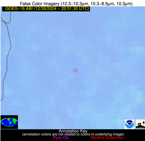
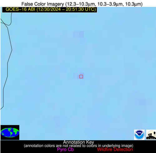
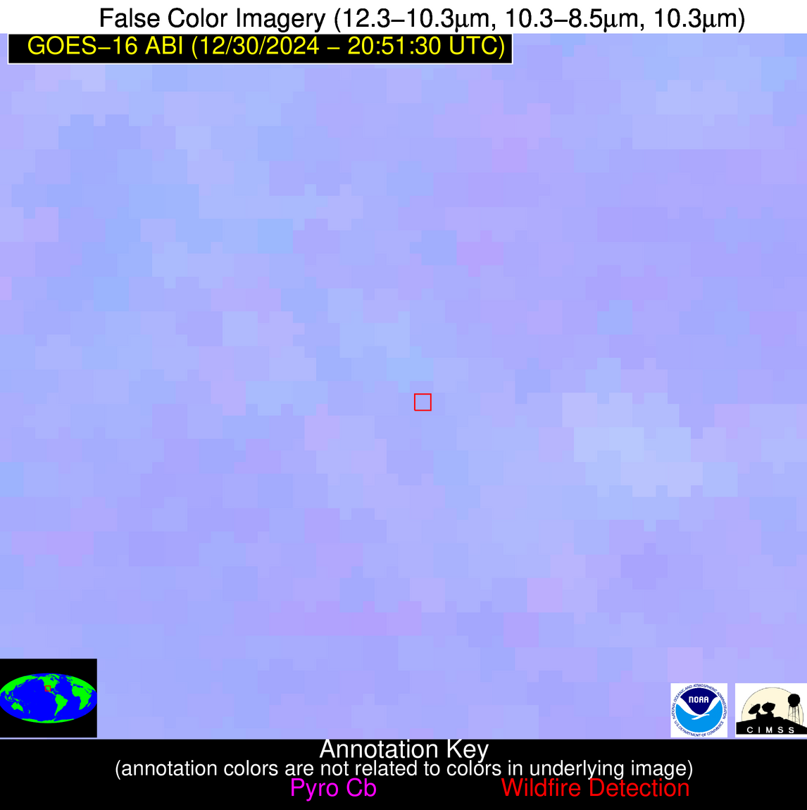
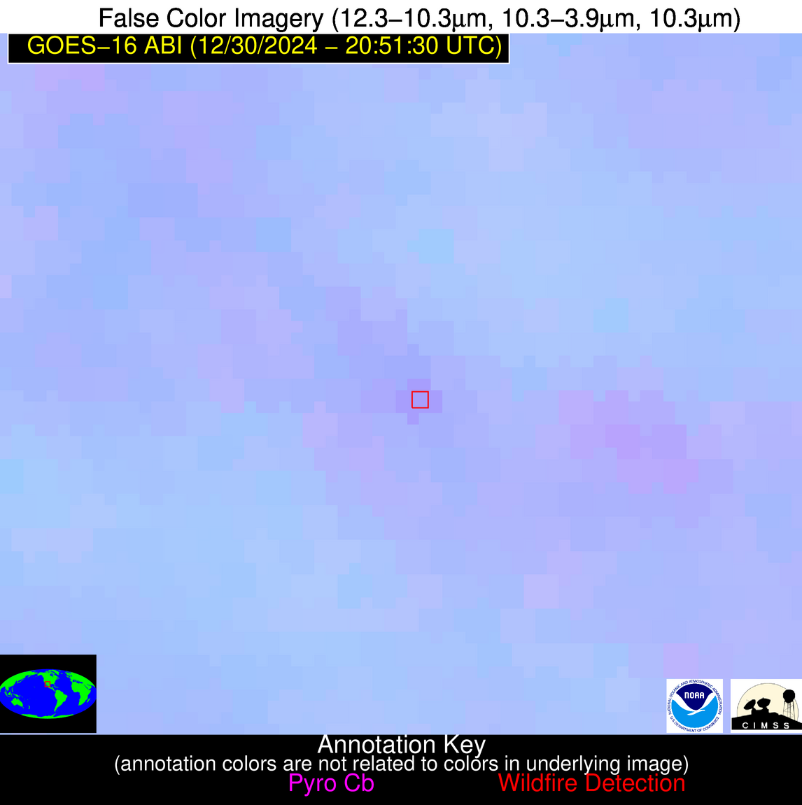
Possible Wildfire
| Basic Information | |
|---|---|
| State/Province(s) | GA |
| Country/Countries | USA |
| County/Locality(s) | Early County, GA |
| NWS WFO | Tallahassee FL |
| Identification Method | Enhanced Contextual (Clear) |
| Mean Object Date/Time | 2024-12-30 20:52:21UTC |
| Radiative Center (Lat, Lon): | 31.430000°, -84.790000° |
| Nearby Counties (meeting alert criteria): |
|
| Total Radiative Power Anomaly | n/a |
| Total Radiative Power | 6.79 MW |
| Map: | |
| Additional Information | |
| Alert Status | New Feature |
| Type of Event | Nominal Risk |
| Event Priority Ranking | 4 |
| Maximum Observed BT (3.9 um) | 295.78 K |
| Observed - Background BT (3.9 um) | 3.00 K |
| BT Anomaly (3.9 um) | 7.73 K |
| Maximum Observed - Clear RTM BT (3.9 um) | 6.37 K |
| Maximum Observed BTD (3.9-10/11/12 um) | 5.80 K |
| Observed - Background BTD (3.9-10/11/12 um) | 3.07 K |
| BTD Anomaly (3.9-10/11/12 um) | 11.79 K |
| Similar Pixel Count | 1 |
| BT Time Tendency (3.9 um) | -0.10 K |
| Image Interval | 5.00 minutes |
| Fraction of Surrounding LWIR Pixels that are Colder | 0.35 |
| Fraction of Surrounding Red Channel Pixels that are Brighter | 1.00 |
| Maximum Radiative Power | 6.79 MW |
| Maximum Radiative Power Uncertainty | 0.00 MW |
| Total Radiative Power Uncertainty | 0.00 MW |
| Mean Viewing Angle | 38.20° |
| Mean Solar Zenith Angle | 71.20° |
| Mean Glint Angle | 90.40° |
| Water Fraction | 0.00 |
| Total Pixel Area | 5.50 km2 |
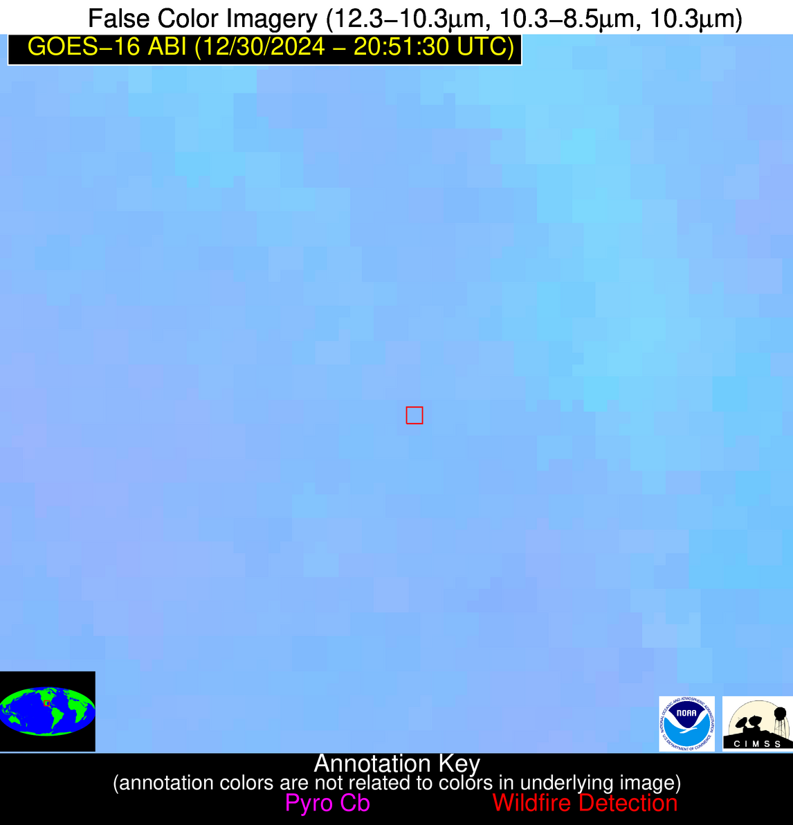
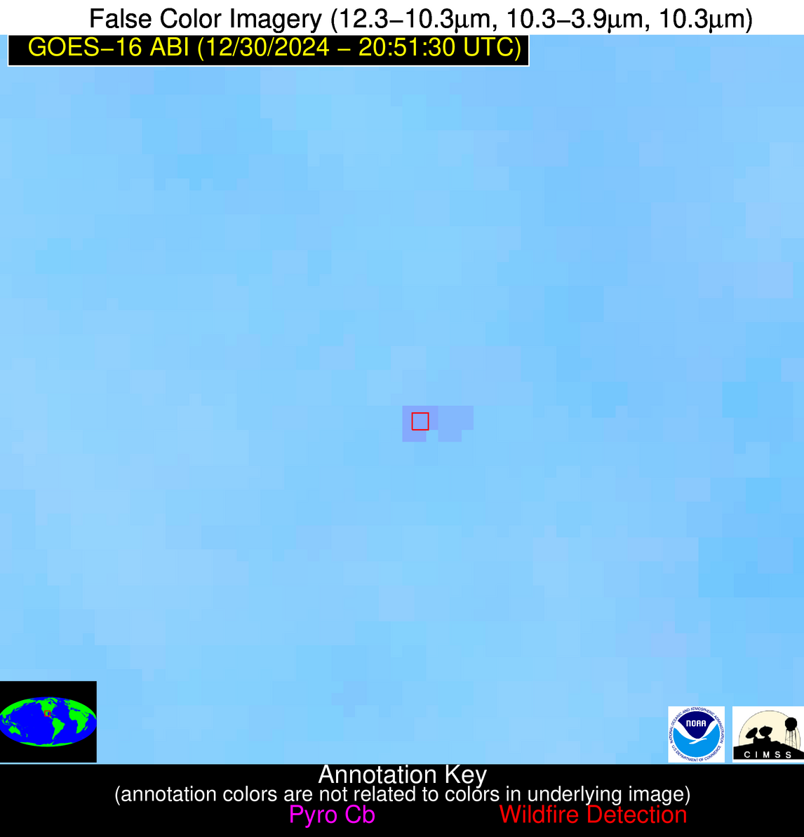
| Latest Satellite Imagery: | |
| View all event imagery » | |
Possible Wildfire
| Basic Information | |
|---|---|
| State/Province(s) | Chihuahua |
| Country/Countries | Mexico |
| County/Locality(s) | Bachíniva, Chihuahua |
| NWS WFO | N/A |
| Identification Method | Enhanced Contextual (Clear) |
| Mean Object Date/Time | 2024-12-30 20:52:49UTC |
| Radiative Center (Lat, Lon): | 28.870000°, -107.280000° |
| Nearby Counties (meeting alert criteria): |
|
| Total Radiative Power Anomaly | n/a |
| Total Radiative Power | 12.39 MW |
| Map: | |
| Additional Information | |
| Alert Status | New Feature |
| Type of Event | Nominal Risk |
| Event Priority Ranking | 4 |
| Maximum Observed BT (3.9 um) | 308.41 K |
| Observed - Background BT (3.9 um) | 3.87 K |
| BT Anomaly (3.9 um) | 2.51 K |
| Maximum Observed - Clear RTM BT (3.9 um) | 17.91 K |
| Maximum Observed BTD (3.9-10/11/12 um) | 9.18 K |
| Observed - Background BTD (3.9-10/11/12 um) | 3.84 K |
| BTD Anomaly (3.9-10/11/12 um) | 4.60 K |
| Similar Pixel Count | 10 |
| BT Time Tendency (3.9 um) | 0.80 K |
| Image Interval | 5.00 minutes |
| Fraction of Surrounding LWIR Pixels that are Colder | 0.66 |
| Fraction of Surrounding Red Channel Pixels that are Brighter | 0.51 |
| Maximum Radiative Power | 12.39 MW |
| Maximum Radiative Power Uncertainty | 0.00 MW |
| Total Radiative Power Uncertainty | 0.00 MW |
| Mean Viewing Angle | 48.90° |
| Mean Solar Zenith Angle | 57.60° |
| Mean Glint Angle | 76.10° |
| Water Fraction | 0.00 |
| Total Pixel Area | 7.30 km2 |
| Latest Satellite Imagery: | |
| View all event imagery » | |
Possible Wildfire
| Basic Information | |
|---|---|
| State/Province(s) | Tamaulipas |
| Country/Countries | Mexico |
| County/Locality(s) | San Fernando, Tamaulipas |
| NWS WFO | N/A |
| Identification Method | Enhanced Contextual (Clear) |
| Mean Object Date/Time | 2024-12-30 20:53:19UTC |
| Radiative Center (Lat, Lon): | 24.820000°, -98.190000° |
| Nearby Counties (meeting alert criteria): |
|
| Total Radiative Power Anomaly | n/a |
| Total Radiative Power | 19.16 MW |
| Map: | |
| Additional Information | |
| Alert Status | New Feature |
| Type of Event | Nominal Risk |
| Event Priority Ranking | 4 |
| Maximum Observed BT (3.9 um) | 312.34 K |
| Observed - Background BT (3.9 um) | 4.61 K |
| BT Anomaly (3.9 um) | 3.82 K |
| Maximum Observed - Clear RTM BT (3.9 um) | 14.24 K |
| Maximum Observed BTD (3.9-10/11/12 um) | 8.43 K |
| Observed - Background BTD (3.9-10/11/12 um) | 5.09 K |
| BTD Anomaly (3.9-10/11/12 um) | 13.59 K |
| Similar Pixel Count | 2 |
| BT Time Tendency (3.9 um) | 3.40 K |
| Image Interval | 5.00 minutes |
| Fraction of Surrounding LWIR Pixels that are Colder | 0.25 |
| Fraction of Surrounding Red Channel Pixels that are Brighter | 1.00 |
| Maximum Radiative Power | 19.16 MW |
| Maximum Radiative Power Uncertainty | 0.00 MW |
| Total Radiative Power Uncertainty | 0.00 MW |
| Mean Viewing Angle | 38.90° |
| Mean Solar Zenith Angle | 58.50° |
| Mean Glint Angle | 70.30° |
| Water Fraction | 0.00 |
| Total Pixel Area | 5.70 km2 |
| Latest Satellite Imagery: | |
| View all event imagery » | |
Possible Wildfire
| Basic Information | |
|---|---|
| State/Province(s) | Unknown |
| Country/Countries | Cuba |
| County/Locality(s) | Cuba |
| NWS WFO | N/A |
| Identification Method | Enhanced Contextual (Clear) |
| Mean Object Date/Time | 2024-12-30 20:53:21UTC |
| Radiative Center (Lat, Lon): | 22.780000°, -82.340000° |
| Nearby Counties (meeting alert criteria): |
|
| Total Radiative Power Anomaly | n/a |
| Total Radiative Power | 47.75 MW |
| Map: | |
| Additional Information | |
| Alert Status | New Feature |
| Type of Event | Nominal Risk |
| Event Priority Ranking | 4 |
| Maximum Observed BT (3.9 um) | 307.96 K |
| Observed - Background BT (3.9 um) | 10.77 K |
| BT Anomaly (3.9 um) | 7.09 K |
| Maximum Observed - Clear RTM BT (3.9 um) | 11.85 K |
| Maximum Observed BTD (3.9-10/11/12 um) | 21.26 K |
| Observed - Background BTD (3.9-10/11/12 um) | 11.05 K |
| BTD Anomaly (3.9-10/11/12 um) | 7.51 K |
| Similar Pixel Count | 4 |
| BT Time Tendency (3.9 um) | 5.90 K |
| Image Interval | 5.00 minutes |
| Fraction of Surrounding LWIR Pixels that are Colder | 0.54 |
| Fraction of Surrounding Red Channel Pixels that are Brighter | 0.51 |
| Maximum Radiative Power | 27.71 MW |
| Maximum Radiative Power Uncertainty | 0.00 MW |
| Total Radiative Power Uncertainty | 0.00 MW |
| Mean Viewing Angle | 28.00° |
| Mean Solar Zenith Angle | 67.00° |
| Mean Glint Angle | 79.60° |
| Water Fraction | 0.00 |
| Total Pixel Area | 9.50 km2 |
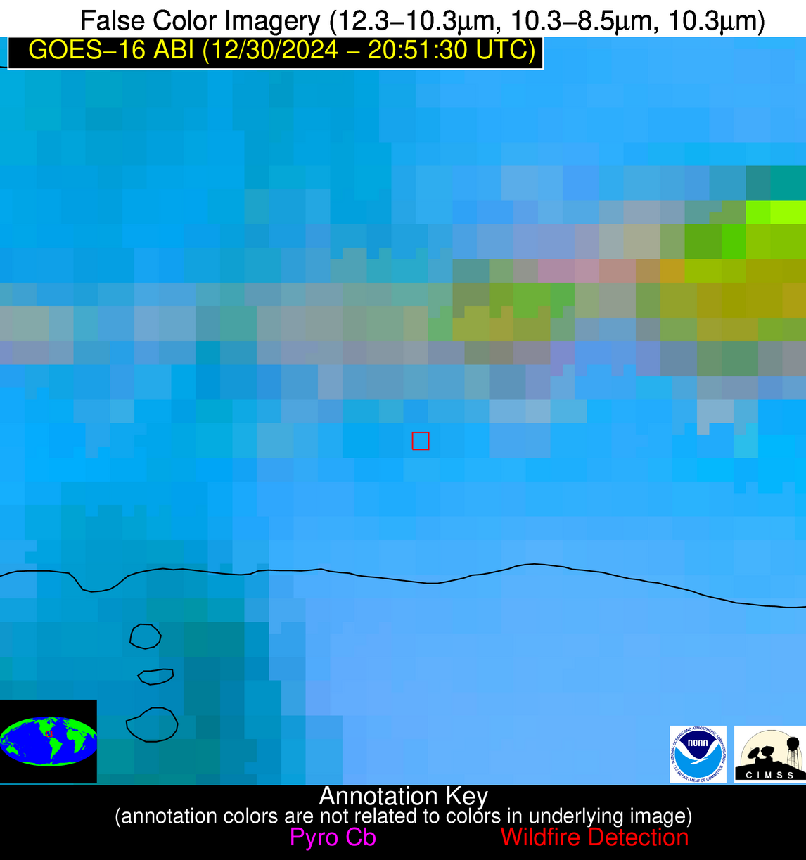
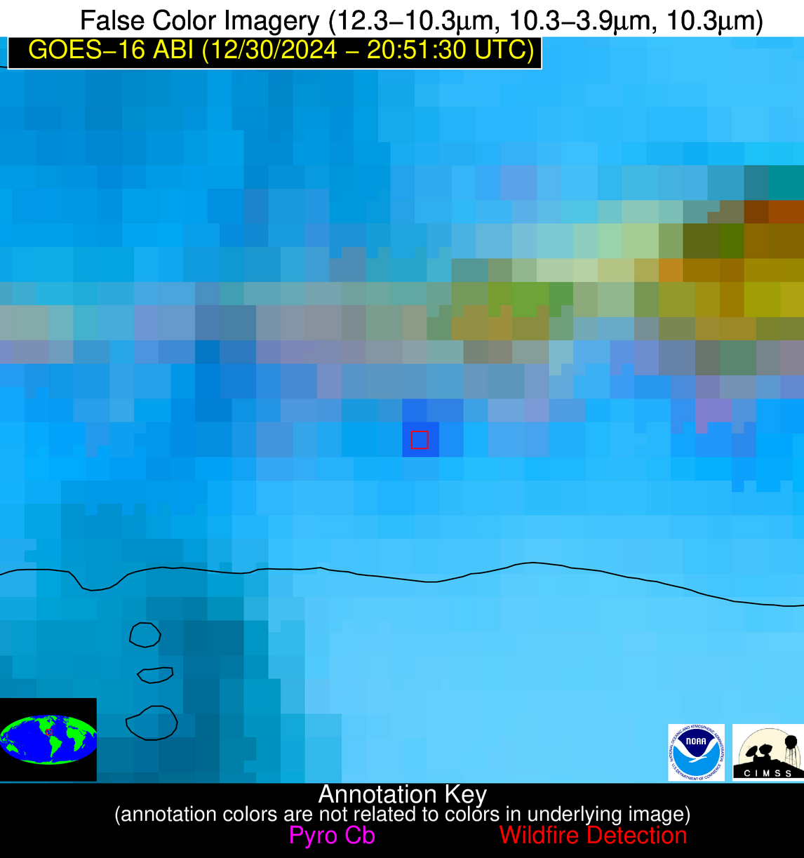
| Latest Satellite Imagery: | |
| View all event imagery » | |
Possible Wildfire
| Basic Information | |
|---|---|
| State/Province(s) | San Luis Potosí |
| Country/Countries | Mexico |
| County/Locality(s) | Guadalcázar, San Luis Potosí |
| NWS WFO | N/A |
| Identification Method | Enhanced Contextual (Clear) |
| Mean Object Date/Time | 2024-12-30 20:53:19UTC |
| Radiative Center (Lat, Lon): | 22.900000°, -100.490000° |
| Nearby Counties (meeting alert criteria): |
|
| Total Radiative Power Anomaly | n/a |
| Total Radiative Power | 12.64 MW |
| Map: | |
| Additional Information | |
| Alert Status | New Feature |
| Type of Event | Nominal Risk |
| Event Priority Ranking | 4 |
| Maximum Observed BT (3.9 um) | 312.23 K |
| Observed - Background BT (3.9 um) | 4.34 K |
| BT Anomaly (3.9 um) | 3.09 K |
| Maximum Observed - Clear RTM BT (3.9 um) | 14.56 K |
| Maximum Observed BTD (3.9-10/11/12 um) | 8.70 K |
| Observed - Background BTD (3.9-10/11/12 um) | 3.84 K |
| BTD Anomaly (3.9-10/11/12 um) | 6.31 K |
| Similar Pixel Count | 4 |
| BT Time Tendency (3.9 um) | 2.30 K |
| Image Interval | 5.00 minutes |
| Fraction of Surrounding LWIR Pixels that are Colder | 0.79 |
| Fraction of Surrounding Red Channel Pixels that are Brighter | 0.63 |
| Maximum Radiative Power | 12.64 MW |
| Maximum Radiative Power Uncertainty | 0.00 MW |
| Total Radiative Power Uncertainty | 0.00 MW |
| Mean Viewing Angle | 39.30° |
| Mean Solar Zenith Angle | 55.70° |
| Mean Glint Angle | 66.20° |
| Water Fraction | 0.00 |
| Total Pixel Area | 5.70 km2 |
| Latest Satellite Imagery: | |
| View all event imagery » | |
