Jan 2026: Due to an ongoing data center cooling system construction project, NGFS data outages may occur with little or no notice. Bitterly cold air in Madison Jan 22-24 increases risk of outages.
Wildfire Alert Report
| Date: | 2024-12-29 |
|---|---|
| Time: | 22:21:17 |
| Production Date and Time: | 2024-12-29 22:25:49 UTC |
| Primary Instrument: | GOES-16 ABI |
| Wmo Spacecraft Id: | 152 |
| Location/orbit: | GEO |
| L1 File: | OR_ABI-L1b-RadC-M6C14_G16_s20243642221172_e20243642223545_c20243642224035.nc |
| L1 File(s) - Temporal | OR_ABI-L1b-RadC-M6C14_G16_s20243642216172_e20243642218545_c20243642219049.nc |
| Number Of Thermal Anomaly Alerts: | 4 |
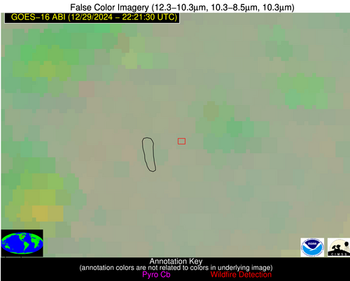
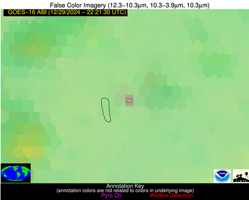
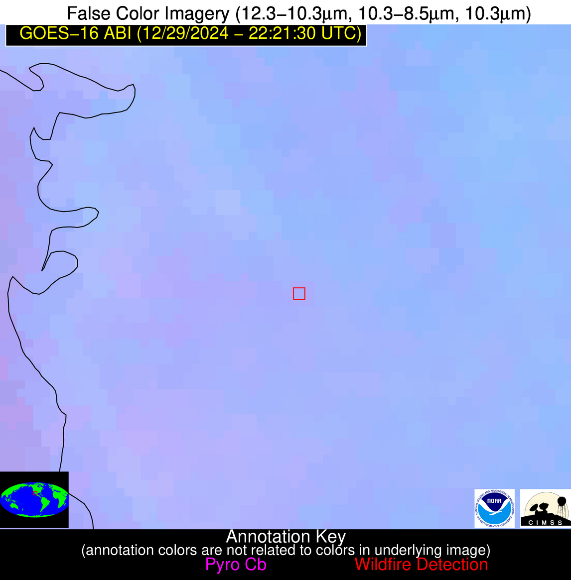
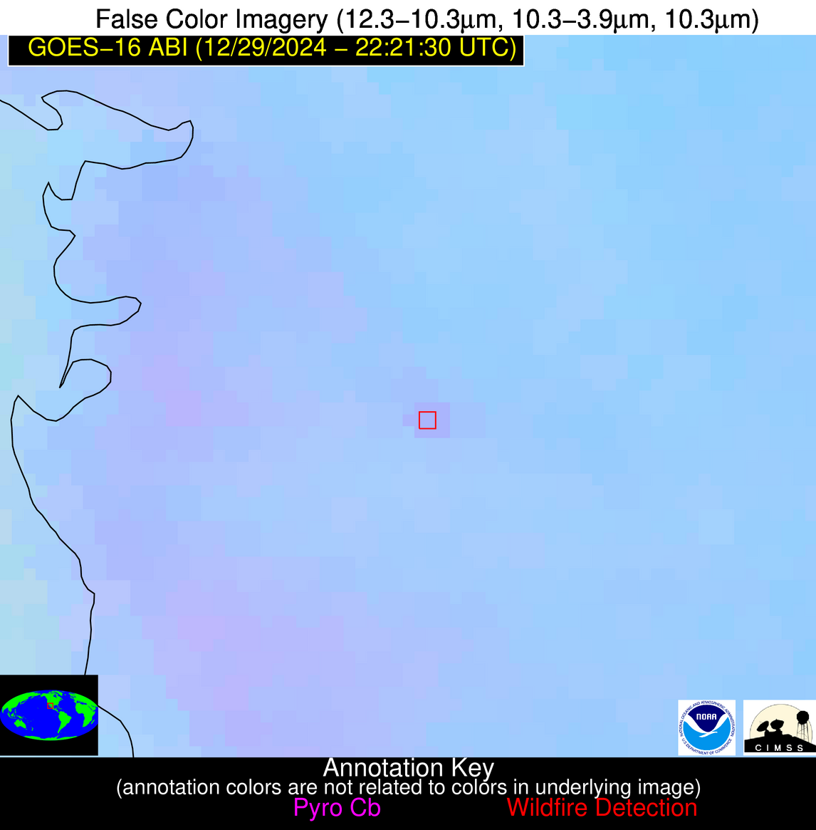
Possible Wildfire
| Basic Information | |
|---|---|
| State/Province(s) | MN |
| Country/Countries | USA |
| County/Locality(s) | Clearwater County, MN |
| NWS WFO | Grand Forks ND |
| Identification Method | Enhanced Contextual (Clear) |
| Mean Object Date/Time | 2024-12-29 22:21:21UTC |
| Radiative Center (Lat, Lon): | 47.370000°, -95.410000° |
| Nearby Counties (meeting alert criteria): |
|
| Total Radiative Power Anomaly | n/a |
| Total Radiative Power | 9.68 MW |
| Map: | |
| Additional Information | |
| Alert Status | New Feature |
| Type of Event | Nominal Risk |
| Event Priority Ranking | 4 |
| Maximum Observed BT (3.9 um) | 277.42 K |
| Observed - Background BT (3.9 um) | 6.27 K |
| BT Anomaly (3.9 um) | 9.79 K |
| Maximum Observed - Clear RTM BT (3.9 um) | 10.15 K |
| Maximum Observed BTD (3.9-10/11/12 um) | 7.12 K |
| Observed - Background BTD (3.9-10/11/12 um) | 6.27 K |
| BTD Anomaly (3.9-10/11/12 um) | 13.28 K |
| Similar Pixel Count | 1 |
| BT Time Tendency (3.9 um) | 1.20 K |
| Image Interval | 5.00 minutes |
| Fraction of Surrounding LWIR Pixels that are Colder | 0.57 |
| Fraction of Surrounding Red Channel Pixels that are Brighter | 1.00 |
| Maximum Radiative Power | 9.68 MW |
| Maximum Radiative Power Uncertainty | 0.00 MW |
| Total Radiative Power Uncertainty | 0.00 MW |
| Mean Viewing Angle | 58.20° |
| Mean Solar Zenith Angle | 88.70° |
| Mean Glint Angle | 98.70° |
| Water Fraction | 0.00 |
| Total Pixel Area | 9.30 km2 |
| Latest Satellite Imagery: | |
| View all event imagery » | |
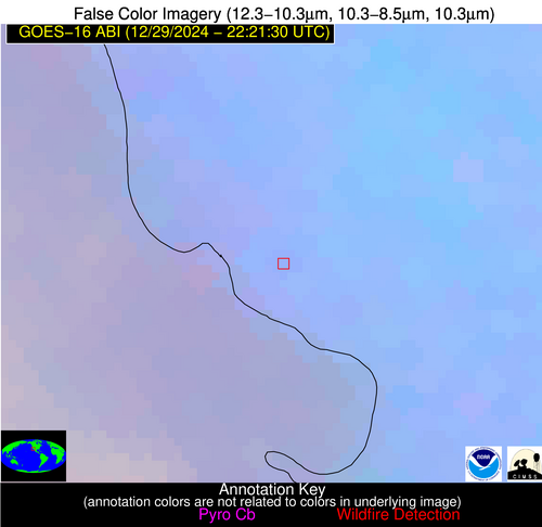
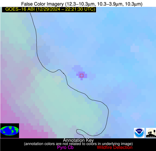
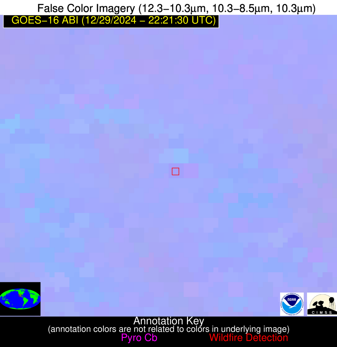
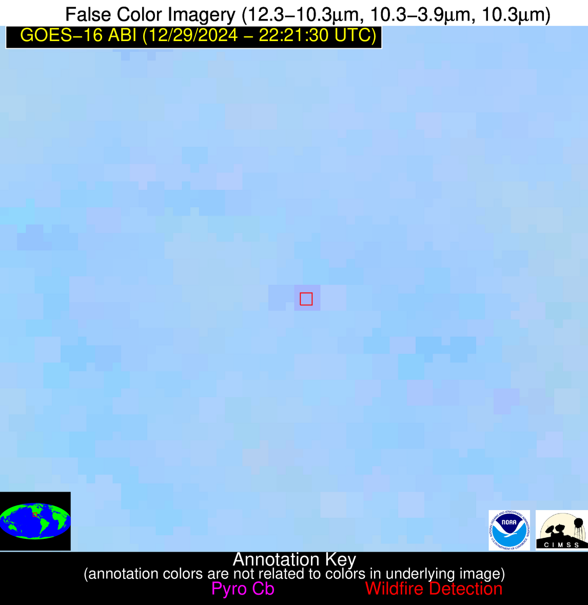
Possible Wildfire
| Basic Information | |
|---|---|
| State/Province(s) | Baja California |
| Country/Countries | Mexico |
| County/Locality(s) | Ensenada, Baja California |
| NWS WFO | N/A |
| Identification Method | Enhanced Contextual (Clear) |
| Mean Object Date/Time | 2024-12-29 22:22:18UTC |
| Radiative Center (Lat, Lon): | 31.960000°, -116.700000° |
| Nearby Counties (meeting alert criteria): |
|
| Total Radiative Power Anomaly | n/a |
| Total Radiative Power | 31.69 MW |
| Map: | |
| Additional Information | |
| Alert Status | New Feature |
| Type of Event | Nominal Risk |
| Event Priority Ranking | 4 |
| Maximum Observed BT (3.9 um) | 303.99 K |
| Observed - Background BT (3.9 um) | 7.51 K |
| BT Anomaly (3.9 um) | 6.50 K |
| Maximum Observed - Clear RTM BT (3.9 um) | 14.17 K |
| Maximum Observed BTD (3.9-10/11/12 um) | 11.79 K |
| Observed - Background BTD (3.9-10/11/12 um) | 7.96 K |
| BTD Anomaly (3.9-10/11/12 um) | 11.70 K |
| Similar Pixel Count | 1 |
| BT Time Tendency (3.9 um) | 5.70 K |
| Image Interval | 5.00 minutes |
| Fraction of Surrounding LWIR Pixels that are Colder | 0.62 |
| Fraction of Surrounding Red Channel Pixels that are Brighter | 0.89 |
| Maximum Radiative Power | 31.69 MW |
| Maximum Radiative Power Uncertainty | 0.00 MW |
| Total Radiative Power Uncertainty | 0.00 MW |
| Mean Viewing Angle | 58.20° |
| Mean Solar Zenith Angle | 66.40° |
| Mean Glint Angle | 71.80° |
| Water Fraction | 0.00 |
| Total Pixel Area | 10.60 km2 |
| Latest Satellite Imagery: | |
| View all event imagery » | |
Possible Wildfire
| Basic Information | |
|---|---|
| State/Province(s) | Sonora |
| Country/Countries | Mexico |
| County/Locality(s) | Guaymas, Sonora |
| NWS WFO | N/A |
| Identification Method | Enhanced Contextual (Clear) |
| Mean Object Date/Time | 2024-12-29 22:22:48UTC |
| Radiative Center (Lat, Lon): | 27.660000°, -110.340000° |
| Nearby Counties (meeting alert criteria): |
|
| Total Radiative Power Anomaly | n/a |
| Total Radiative Power | 6.98 MW |
| Map: | |
| Additional Information | |
| Alert Status | New Feature |
| Type of Event | Nominal Risk |
| Event Priority Ranking | 4 |
| Maximum Observed BT (3.9 um) | 304.03 K |
| Observed - Background BT (3.9 um) | 1.84 K |
| BT Anomaly (3.9 um) | 1.52 K |
| Maximum Observed - Clear RTM BT (3.9 um) | 9.32 K |
| Maximum Observed BTD (3.9-10/11/12 um) | 5.98 K |
| Observed - Background BTD (3.9-10/11/12 um) | 2.63 K |
| BTD Anomaly (3.9-10/11/12 um) | 3.17 K |
| Similar Pixel Count | 2 |
| BT Time Tendency (3.9 um) | 1.10 K |
| Image Interval | 5.00 minutes |
| Fraction of Surrounding LWIR Pixels that are Colder | 0.20 |
| Fraction of Surrounding Red Channel Pixels that are Brighter | 1.00 |
| Maximum Radiative Power | 6.98 MW |
| Maximum Radiative Power Uncertainty | 0.00 MW |
| Total Radiative Power Uncertainty | 0.00 MW |
| Mean Viewing Angle | 50.50° |
| Mean Solar Zenith Angle | 66.80° |
| Mean Glint Angle | 67.20° |
| Water Fraction | 0.00 |
| Total Pixel Area | 7.80 km2 |
| Latest Satellite Imagery: | |
| View all event imagery » | |
Possible Wildfire
| Basic Information | |
|---|---|
| State/Province(s) | Chihuahua |
| Country/Countries | Mexico |
| County/Locality(s) | Guadalupe y Calvo, Chihuahua |
| NWS WFO | N/A |
| Identification Method | Enhanced Contextual (Clear) |
| Mean Object Date/Time | 2024-12-29 22:22:48UTC |
| Radiative Center (Lat, Lon): | 26.560000°, -106.920000° |
| Nearby Counties (meeting alert criteria): |
|
| Total Radiative Power Anomaly | n/a |
| Total Radiative Power | 7.99 MW |
| Map: | |
| Additional Information | |
| Alert Status | New Feature |
| Type of Event | Nominal Risk |
| Event Priority Ranking | 4 |
| Maximum Observed BT (3.9 um) | 299.49 K |
| Observed - Background BT (3.9 um) | 3.90 K |
| BT Anomaly (3.9 um) | 2.73 K |
| Maximum Observed - Clear RTM BT (3.9 um) | 11.87 K |
| Maximum Observed BTD (3.9-10/11/12 um) | 6.00 K |
| Observed - Background BTD (3.9-10/11/12 um) | 3.40 K |
| BTD Anomaly (3.9-10/11/12 um) | 8.49 K |
| Similar Pixel Count | 1 |
| BT Time Tendency (3.9 um) | 2.70 K |
| Image Interval | 5.00 minutes |
| Fraction of Surrounding LWIR Pixels that are Colder | 0.71 |
| Fraction of Surrounding Red Channel Pixels that are Brighter | 0.88 |
| Maximum Radiative Power | 7.99 MW |
| Maximum Radiative Power Uncertainty | 0.00 MW |
| Total Radiative Power Uncertainty | 0.00 MW |
| Mean Viewing Angle | 47.00° |
| Mean Solar Zenith Angle | 68.20° |
| Mean Glint Angle | 67.20° |
| Water Fraction | 0.00 |
| Total Pixel Area | 7.00 km2 |
| Latest Satellite Imagery: | |
| View all event imagery » | |
