Wildfire Alert Report
| Date: | 2024-12-26 |
|---|---|
| Time: | 18:46:17 |
| Production Date and Time: | 2024-12-26 18:50:58 UTC |
| Primary Instrument: | GOES-16 ABI |
| Wmo Spacecraft Id: | 152 |
| Location/orbit: | GEO |
| L1 File: | OR_ABI-L1b-RadC-M6C14_G16_s20243611846171_e20243611848544_c20243611849015.nc |
| L1 File(s) - Temporal | OR_ABI-L1b-RadC-M6C14_G16_s20243611841171_e20243611843544_c20243611844035.nc |
| Number Of Thermal Anomaly Alerts: | 2 |
Possible Wildfire
| Basic Information | |
|---|---|
| State/Province(s) | CA |
| Country/Countries | USA |
| County/Locality(s) | Los Angeles County, CA |
| NWS WFO | Los Angeles/Oxnard CA |
| Identification Method | Enhanced Contextual (Clear) |
| Mean Object Date/Time | 2024-12-26 18:47:18UTC |
| Radiative Center (Lat, Lon): | 34.230000°, -117.670000° |
| Nearby Counties (meeting alert criteria): |
|
| Total Radiative Power Anomaly | n/a |
| Total Radiative Power | 17.23 MW |
| Map: | |
| Additional Information | |
| Alert Status | New Feature |
| Type of Event | Nominal Risk, Known Incident: BRIDGE (HIGH, tdiff=56.94947 days, PERIMETER) |
| Event Priority Ranking | 4 |
| Maximum Observed BT (3.9 um) | 299.66 K |
| Observed - Background BT (3.9 um) | 5.85 K |
| BT Anomaly (3.9 um) | 4.07 K |
| Maximum Observed - Clear RTM BT (3.9 um) | 15.73 K |
| Maximum Observed BTD (3.9-10/11/12 um) | 16.35 K |
| Observed - Background BTD (3.9-10/11/12 um) | 5.69 K |
| BTD Anomaly (3.9-10/11/12 um) | 3.30 K |
| Similar Pixel Count | 19 |
| BT Time Tendency (3.9 um) | 2.90 K |
| Image Interval | 5.00 minutes |
| Fraction of Surrounding LWIR Pixels that are Colder | 0.50 |
| Fraction of Surrounding Red Channel Pixels that are Brighter | 0.81 |
| Maximum Radiative Power | 17.23 MW |
| Maximum Radiative Power Uncertainty | 0.00 MW |
| Total Radiative Power Uncertainty | 0.00 MW |
| Mean Viewing Angle | 60.30° |
| Mean Solar Zenith Angle | 59.70° |
| Mean Glint Angle | 108.30° |
| Water Fraction | 0.00 |
| Total Pixel Area | 11.70 km2 |
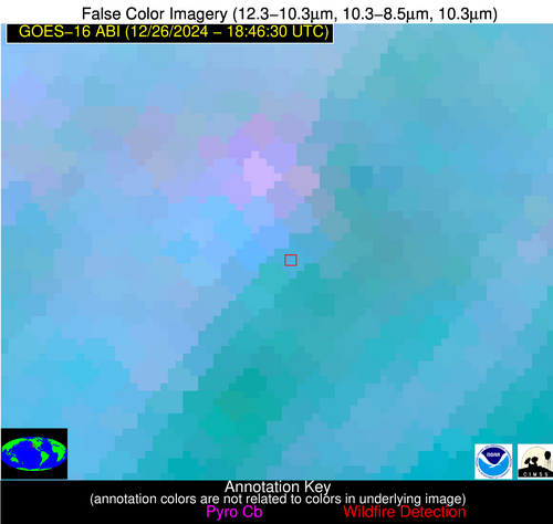
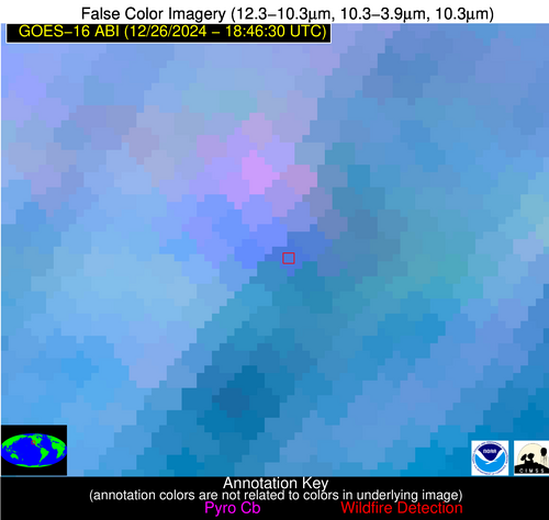
| Latest Satellite Imagery: | |
| View all event imagery » | |
Possible Wildfire
| Basic Information | |
|---|---|
| State/Province(s) | Unknown |
| Country/Countries | Dominican Republic |
| County/Locality(s) | Dominican Republic |
| NWS WFO | N/A |
| Identification Method | Enhanced Contextual (Clear) |
| Mean Object Date/Time | 2024-12-26 18:48:53UTC |
| Radiative Center (Lat, Lon): | 18.890000°, -69.690000° |
| Nearby Counties (meeting alert criteria): |
|
| Total Radiative Power Anomaly | n/a |
| Total Radiative Power | 4.43 MW |
| Map: | |
| Additional Information | |
| Alert Status | New Feature |
| Type of Event | Nominal Risk |
| Event Priority Ranking | 4 |
| Maximum Observed BT (3.9 um) | 302.04 K |
| Observed - Background BT (3.9 um) | 2.42 K |
| BT Anomaly (3.9 um) | 2.27 K |
| Maximum Observed - Clear RTM BT (3.9 um) | 5.19 K |
| Maximum Observed BTD (3.9-10/11/12 um) | 12.19 K |
| Observed - Background BTD (3.9-10/11/12 um) | 1.95 K |
| BTD Anomaly (3.9-10/11/12 um) | 1.95 K |
| Similar Pixel Count | 25 |
| BT Time Tendency (3.9 um) | 0.60 K |
| Image Interval | 5.00 minutes |
| Fraction of Surrounding LWIR Pixels that are Colder | 0.78 |
| Fraction of Surrounding Red Channel Pixels that are Brighter | 0.71 |
| Maximum Radiative Power | 4.43 MW |
| Maximum Radiative Power Uncertainty | 0.00 MW |
| Total Radiative Power Uncertainty | 0.00 MW |
| Mean Viewing Angle | 23.10° |
| Mean Solar Zenith Angle | 52.60° |
| Mean Glint Angle | 74.50° |
| Water Fraction | 0.00 |
| Total Pixel Area | 4.50 km2 |
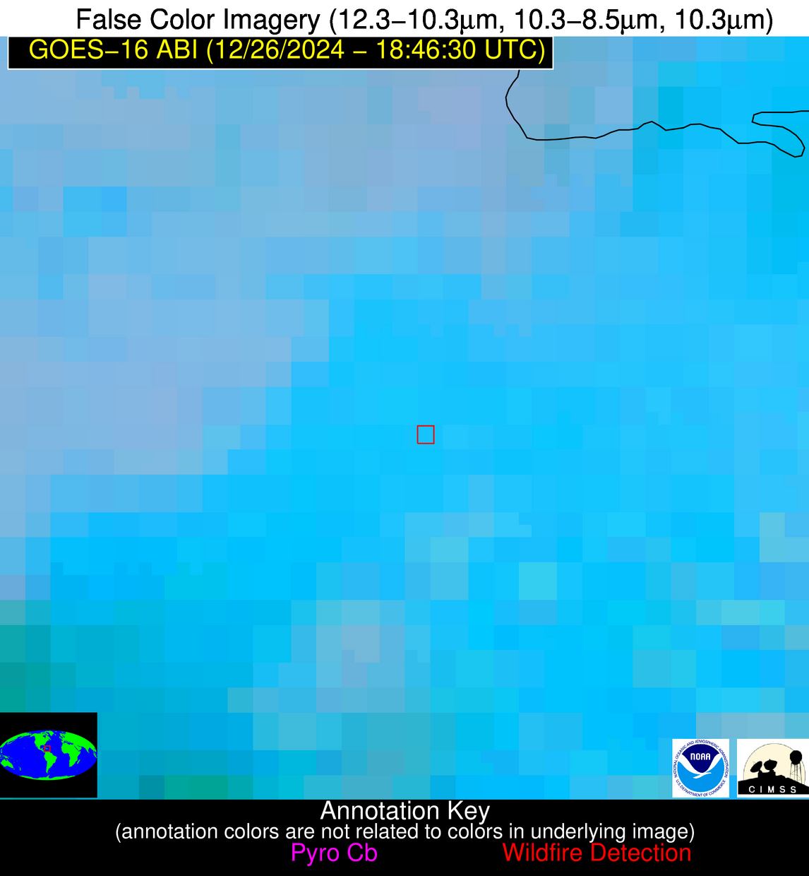
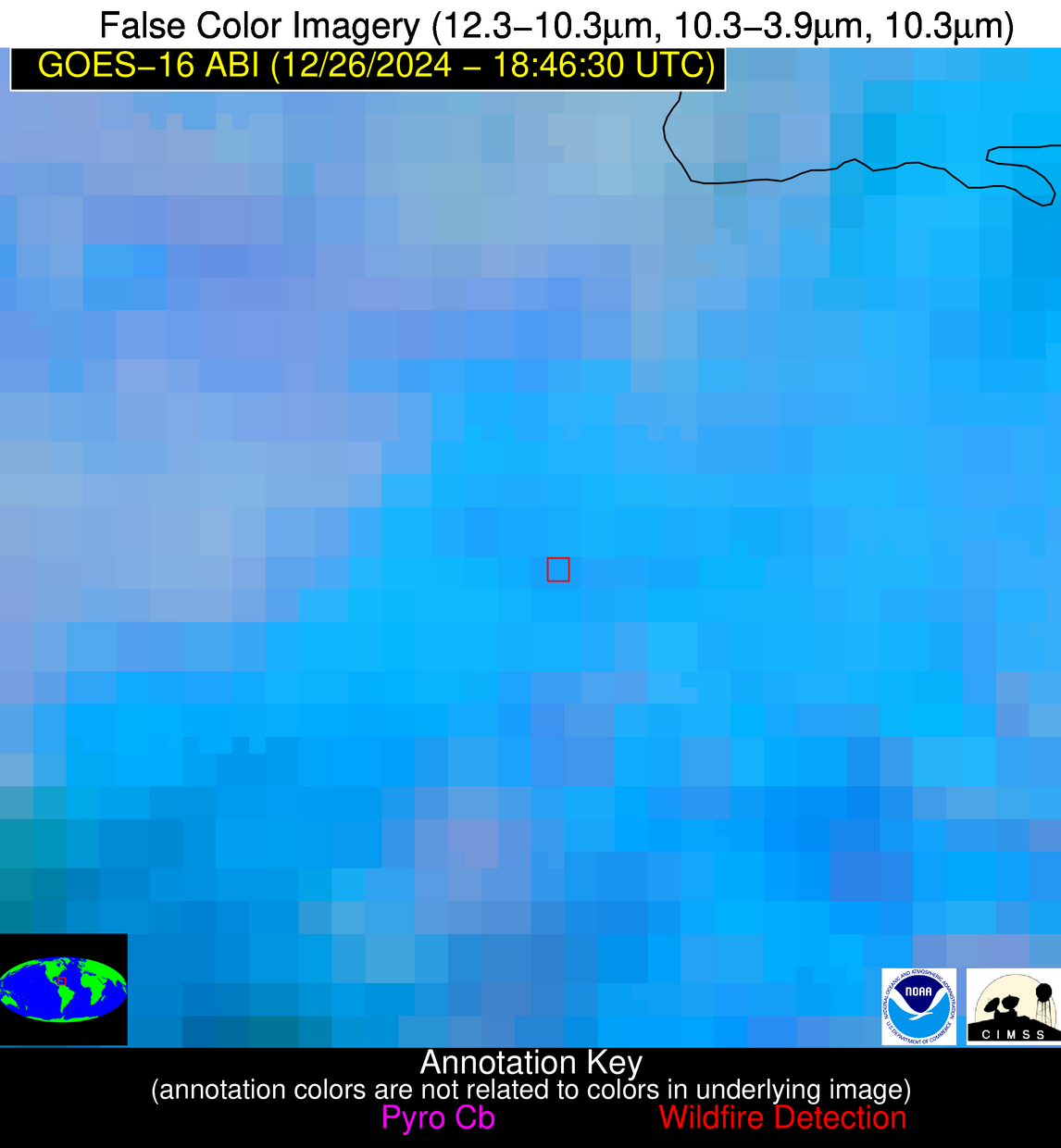
| Latest Satellite Imagery: | |
| View all event imagery » | |


