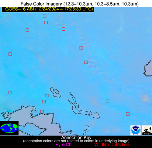
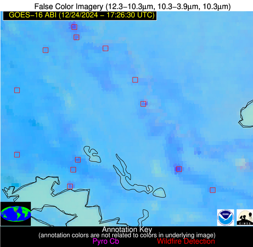
Wildfire Alert Report
| Date: | 2024-12-24 |
|---|---|
| Time: | 17:26:17 |
| Production Date and Time: | 2024-12-24 17:30:56 UTC |
| Primary Instrument: | GOES-16 ABI |
| Wmo Spacecraft Id: | 152 |
| Location/orbit: | GEO |
| L1 File: | OR_ABI-L1b-RadC-M6C14_G16_s20243591726170_e20243591728543_c20243591729031.nc |
| L1 File(s) - Temporal | OR_ABI-L1b-RadC-M6C14_G16_s20243591721170_e20243591723543_c20243591724044.nc |
| Number Of Thermal Anomaly Alerts: | 4 |
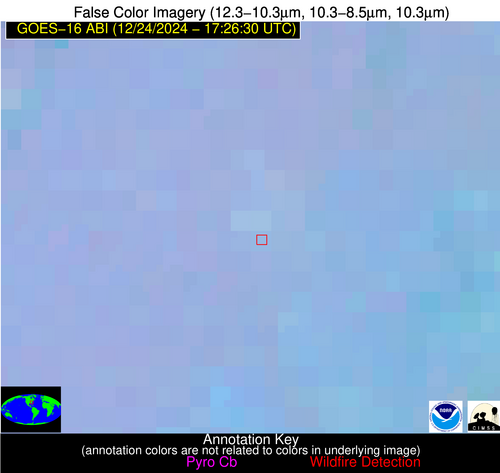
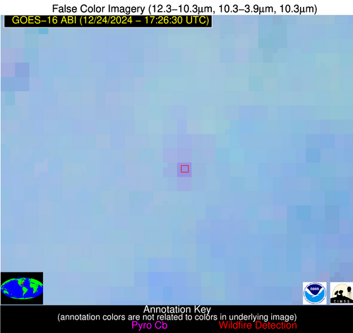
Possible Wildfire
| Basic Information | |
|---|---|
| State/Province(s) | SC |
| Country/Countries | USA |
| County/Locality(s) | Chesterfield County, SC |
| NWS WFO | Columbia SC |
| Identification Method | Enhanced Contextual (Clear) |
| Mean Object Date/Time | 2024-12-24 17:27:22UTC |
| Radiative Center (Lat, Lon): | 34.420000°, -80.240000° |
| Nearby Counties (meeting alert criteria): |
|
| Total Radiative Power Anomaly | n/a |
| Total Radiative Power | 12.98 MW |
| Map: | |
| Additional Information | |
| Alert Status | New Feature |
| Type of Event | Nominal Risk |
| Event Priority Ranking | 4 |
| Maximum Observed BT (3.9 um) | 297.44 K |
| Observed - Background BT (3.9 um) | 6.49 K |
| BT Anomaly (3.9 um) | 4.85 K |
| Maximum Observed - Clear RTM BT (3.9 um) | 16.19 K |
| Maximum Observed BTD (3.9-10/11/12 um) | 11.03 K |
| Observed - Background BTD (3.9-10/11/12 um) | 5.85 K |
| BTD Anomaly (3.9-10/11/12 um) | 6.11 K |
| Similar Pixel Count | 1 |
| BT Time Tendency (3.9 um) | 3.70 K |
| Image Interval | 5.00 minutes |
| Fraction of Surrounding LWIR Pixels that are Colder | 0.86 |
| Fraction of Surrounding Red Channel Pixels that are Brighter | 0.43 |
| Maximum Radiative Power | 12.98 MW |
| Maximum Radiative Power Uncertainty | 0.00 MW |
| Total Radiative Power Uncertainty | 0.00 MW |
| Mean Viewing Angle | 40.50° |
| Mean Solar Zenith Angle | 57.90° |
| Mean Glint Angle | 97.90° |
| Water Fraction | 0.00 |
| Total Pixel Area | 5.70 km2 |
| Latest Satellite Imagery: | |
| View all event imagery » | |
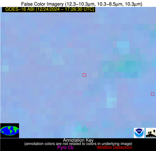
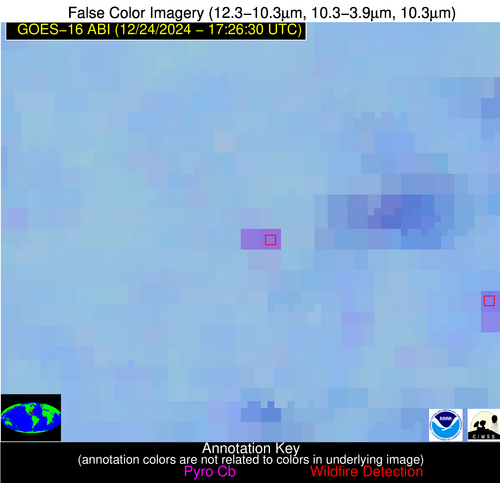
Possible Wildfire
| Basic Information | |
|---|---|
| State/Province(s) | GA |
| Country/Countries | USA |
| County/Locality(s) | Wheeler County, GA |
| NWS WFO | Peachtree City GA |
| Identification Method | Enhanced Contextual (Clear) |
| Mean Object Date/Time | 2024-12-24 17:27:22UTC |
| Radiative Center (Lat, Lon): | 32.120000°, -82.760000° |
| Nearby Counties (meeting alert criteria): |
|
| Total Radiative Power Anomaly | n/a |
| Total Radiative Power | 46.92 MW |
| Map: | |
| Additional Information | |
| Alert Status | New Feature |
| Type of Event | Nominal Risk |
| Event Priority Ranking | 4 |
| Maximum Observed BT (3.9 um) | 301.65 K |
| Observed - Background BT (3.9 um) | 9.54 K |
| BT Anomaly (3.9 um) | 8.92 K |
| Maximum Observed - Clear RTM BT (3.9 um) | 15.74 K |
| Maximum Observed BTD (3.9-10/11/12 um) | 16.01 K |
| Observed - Background BTD (3.9-10/11/12 um) | 10.07 K |
| BTD Anomaly (3.9-10/11/12 um) | 9.43 K |
| Similar Pixel Count | 2 |
| BT Time Tendency (3.9 um) | 2.20 K |
| Image Interval | 5.00 minutes |
| Fraction of Surrounding LWIR Pixels that are Colder | 0.17 |
| Fraction of Surrounding Red Channel Pixels that are Brighter | 1.00 |
| Maximum Radiative Power | 25.18 MW |
| Maximum Radiative Power Uncertainty | 0.00 MW |
| Total Radiative Power Uncertainty | 0.00 MW |
| Mean Viewing Angle | 38.50° |
| Mean Solar Zenith Angle | 55.60° |
| Mean Glint Angle | 93.30° |
| Water Fraction | 0.00 |
| Total Pixel Area | 11.00 km2 |
| Latest Satellite Imagery: | |
| View all event imagery » | |
Possible Wildfire
| Basic Information | |
|---|---|
| State/Province(s) | LA |
| Country/Countries | USA |
| County/Locality(s) | St. Landry Parish, LA |
| NWS WFO | Lake Charles LA |
| Identification Method | Enhanced Contextual (Clear) |
| Mean Object Date/Time | 2024-12-24 17:27:20UTC |
| Radiative Center (Lat, Lon): | 30.690000°, -91.920000° |
| Nearby Counties (meeting alert criteria): |
|
| Total Radiative Power Anomaly | n/a |
| Total Radiative Power | 9.97 MW |
| Map: | |
| Additional Information | |
| Alert Status | New Feature |
| Type of Event | Nominal Risk |
| Event Priority Ranking | 4 |
| Maximum Observed BT (3.9 um) | 300.79 K |
| Observed - Background BT (3.9 um) | 4.59 K |
| BT Anomaly (3.9 um) | 4.83 K |
| Maximum Observed - Clear RTM BT (3.9 um) | 14.18 K |
| Maximum Observed BTD (3.9-10/11/12 um) | 11.76 K |
| Observed - Background BTD (3.9-10/11/12 um) | 4.07 K |
| BTD Anomaly (3.9-10/11/12 um) | 5.82 K |
| Similar Pixel Count | 10 |
| BT Time Tendency (3.9 um) | 1.20 K |
| Image Interval | 5.00 minutes |
| Fraction of Surrounding LWIR Pixels that are Colder | 0.86 |
| Fraction of Surrounding Red Channel Pixels that are Brighter | 0.62 |
| Maximum Radiative Power | 9.97 MW |
| Maximum Radiative Power Uncertainty | 0.00 MW |
| Total Radiative Power Uncertainty | 0.00 MW |
| Mean Viewing Angle | 40.30° |
| Mean Solar Zenith Angle | 55.00° |
| Mean Glint Angle | 93.70° |
| Water Fraction | 0.00 |
| Total Pixel Area | 5.80 km2 |
| Latest Satellite Imagery: | |
| View all event imagery » | |
Possible Wildfire
| Basic Information | |
|---|---|
| State/Province(s) | LA |
| Country/Countries | USA |
| County/Locality(s) | Lafourche Parish, LA |
| NWS WFO | New Orleans LA |
| Identification Method | Enhanced Contextual (Clear) |
| Mean Object Date/Time | 2024-12-24 17:27:50UTC |
| Radiative Center (Lat, Lon): | 29.740000°, -90.780000° |
| Nearby Counties (meeting alert criteria): |
|
| Total Radiative Power Anomaly | n/a |
| Total Radiative Power | 11.53 MW |
| Map: | |
| Additional Information | |
| Alert Status | New Feature |
| Type of Event | Nominal Risk |
| Event Priority Ranking | 4 |
| Maximum Observed BT (3.9 um) | 302.82 K |
| Observed - Background BT (3.9 um) | 5.38 K |
| BT Anomaly (3.9 um) | 2.35 K |
| Maximum Observed - Clear RTM BT (3.9 um) | 10.71 K |
| Maximum Observed BTD (3.9-10/11/12 um) | 12.13 K |
| Observed - Background BTD (3.9-10/11/12 um) | 4.83 K |
| BTD Anomaly (3.9-10/11/12 um) | 3.64 K |
| Similar Pixel Count | 18 |
| BT Time Tendency (3.9 um) | 1.40 K |
| Image Interval | 5.00 minutes |
| Fraction of Surrounding LWIR Pixels that are Colder | 0.71 |
| Fraction of Surrounding Red Channel Pixels that are Brighter | 0.87 |
| Maximum Radiative Power | 11.53 MW |
| Maximum Radiative Power Uncertainty | 0.00 MW |
| Total Radiative Power Uncertainty | 0.00 MW |
| Mean Viewing Angle | 38.80° |
| Mean Solar Zenith Angle | 53.90° |
| Mean Glint Angle | 91.10° |
| Water Fraction | 0.00 |
| Total Pixel Area | 5.60 km2 |
| Latest Satellite Imagery: | |
| View all event imagery » | |
