Jan 2026: Due to an ongoing data center cooling system construction project, NGFS data outages may occur with little or no notice. Bitterly cold air in Madison Jan 22-24 increases risk of outages.
Wildfire Alert Report
| Date: | 2024-12-23 |
|---|---|
| Time: | 16:46:17 |
| Production Date and Time: | 2024-12-23 16:51:01 UTC |
| Primary Instrument: | GOES-16 ABI |
| Wmo Spacecraft Id: | 152 |
| Location/orbit: | GEO |
| L1 File: | OR_ABI-L1b-RadC-M6C14_G16_s20243581646170_e20243581648543_c20243581649036.nc |
| L1 File(s) - Temporal | OR_ABI-L1b-RadC-M6C14_G16_s20243581641170_e20243581643543_c20243581644032.nc |
| Number Of Thermal Anomaly Alerts: | 5 |
Possible Wildfire
| Basic Information | |
|---|---|
| State/Province(s) | SC |
| Country/Countries | USA |
| County/Locality(s) | Orangeburg County, SC |
| NWS WFO | Columbia SC |
| Identification Method | Enhanced Contextual (Clear) |
| Mean Object Date/Time | 2024-12-23 16:47:22UTC |
| Radiative Center (Lat, Lon): | 33.600000°, -81.190000° |
| Nearby Counties (meeting alert criteria): |
|
| Total Radiative Power Anomaly | n/a |
| Total Radiative Power | 18.58 MW |
| Map: | |
| Additional Information | |
| Alert Status | New Feature |
| Type of Event | Nominal Risk |
| Event Priority Ranking | 4 |
| Maximum Observed BT (3.9 um) | 292.23 K |
| Observed - Background BT (3.9 um) | 5.47 K |
| BT Anomaly (3.9 um) | 4.98 K |
| Maximum Observed - Clear RTM BT (3.9 um) | 13.62 K |
| Maximum Observed BTD (3.9-10/11/12 um) | 11.47 K |
| Observed - Background BTD (3.9-10/11/12 um) | 5.48 K |
| BTD Anomaly (3.9-10/11/12 um) | 8.33 K |
| Similar Pixel Count | 3 |
| BT Time Tendency (3.9 um) | 2.50 K |
| Image Interval | 5.00 minutes |
| Fraction of Surrounding LWIR Pixels that are Colder | 0.50 |
| Fraction of Surrounding Red Channel Pixels that are Brighter | 1.00 |
| Maximum Radiative Power | 10.22 MW |
| Maximum Radiative Power Uncertainty | 0.00 MW |
| Total Radiative Power Uncertainty | 0.00 MW |
| Mean Viewing Angle | 39.80° |
| Mean Solar Zenith Angle | 57.80° |
| Mean Glint Angle | 97.50° |
| Water Fraction | 0.00 |
| Total Pixel Area | 11.20 km2 |
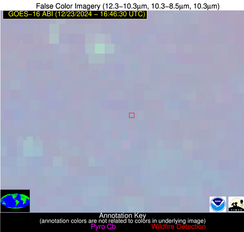
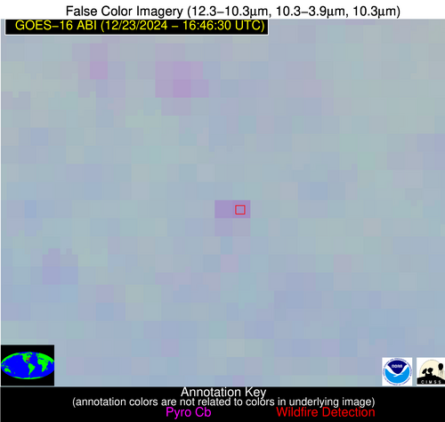
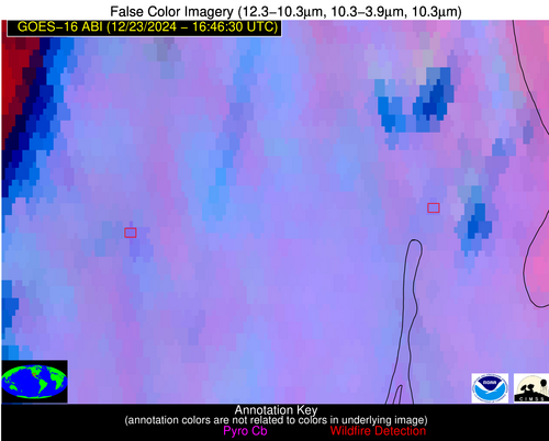
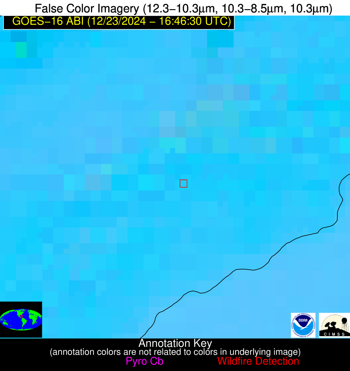
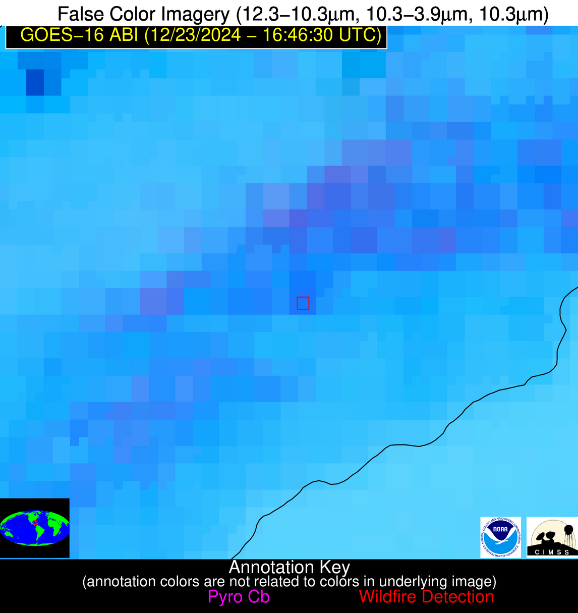
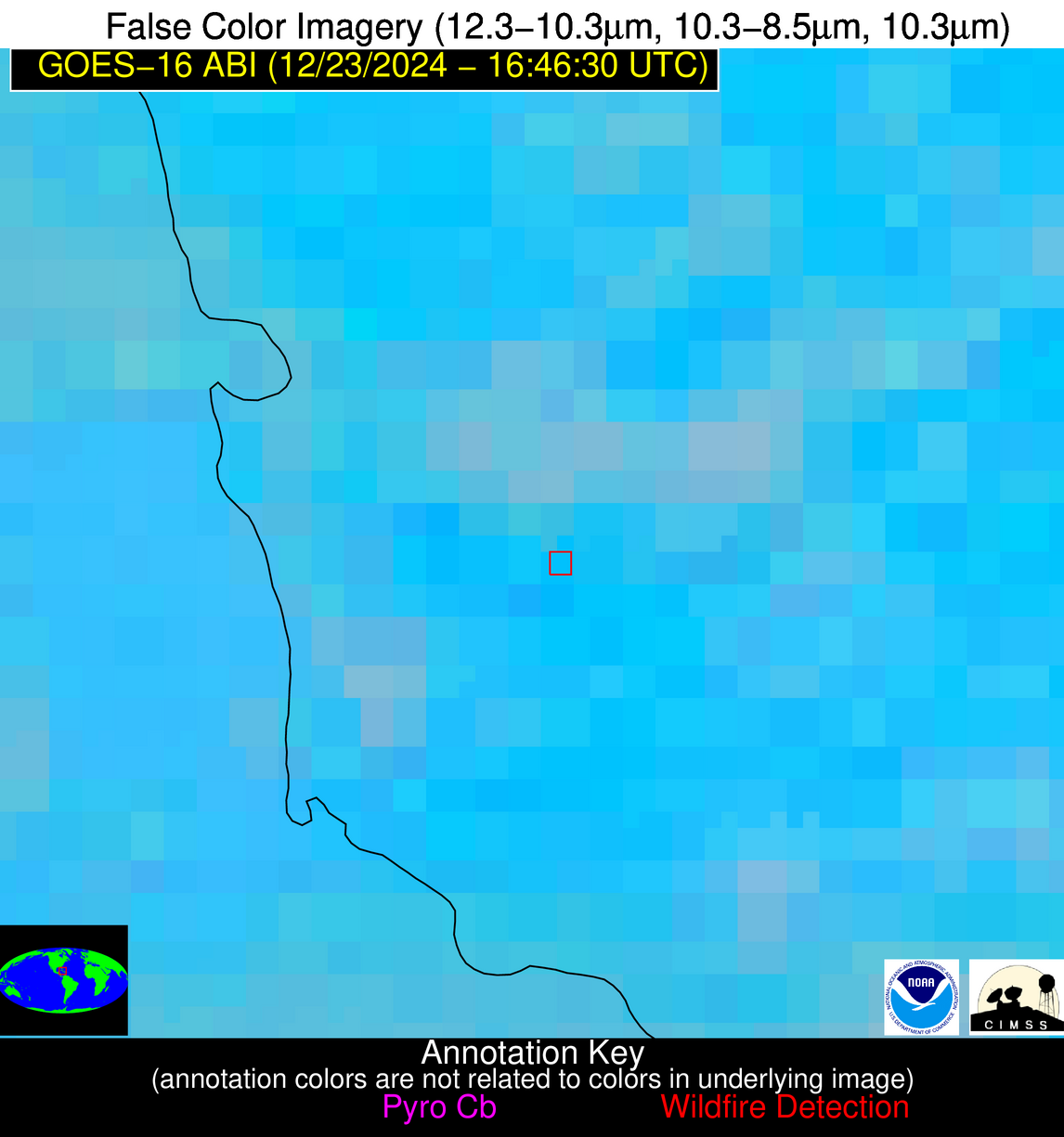
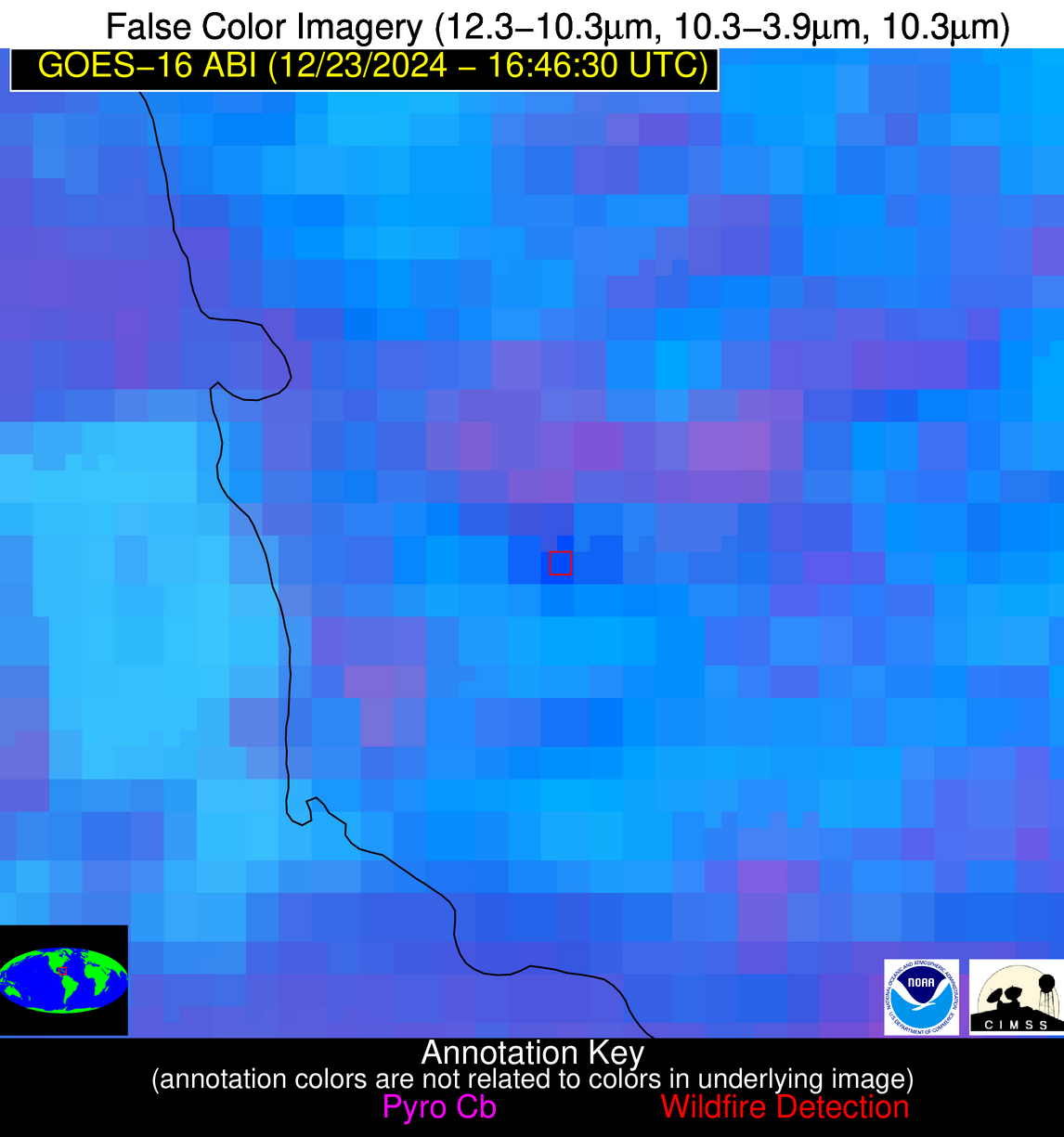
| Latest Satellite Imagery: | |
| View all event imagery » | |
Possible Wildfire
| Basic Information | |
|---|---|
| State/Province(s) | Chihuahua |
| Country/Countries | Mexico |
| County/Locality(s) | Ascensión, Chihuahua |
| NWS WFO | N/A |
| Identification Method | Enhanced Contextual (Clear) |
| Mean Object Date/Time | 2024-12-23 16:47:19UTC |
| Radiative Center (Lat, Lon): | 30.820000°, -107.230000° |
| Nearby Counties (meeting alert criteria): |
|
| Total Radiative Power Anomaly | n/a |
| Total Radiative Power | 8.64 MW |
| Map: | |
| Additional Information | |
| Alert Status | New Feature |
| Type of Event | Nominal Risk |
| Event Priority Ranking | 4 |
| Maximum Observed BT (3.9 um) | 302.94 K |
| Observed - Background BT (3.9 um) | 2.59 K |
| BT Anomaly (3.9 um) | 2.14 K |
| Maximum Observed - Clear RTM BT (3.9 um) | 13.65 K |
| Maximum Observed BTD (3.9-10/11/12 um) | 13.80 K |
| Observed - Background BTD (3.9-10/11/12 um) | 2.18 K |
| BTD Anomaly (3.9-10/11/12 um) | 2.22 K |
| Similar Pixel Count | 25 |
| BT Time Tendency (3.9 um) | 2.20 K |
| Image Interval | 5.00 minutes |
| Fraction of Surrounding LWIR Pixels that are Colder | 0.70 |
| Fraction of Surrounding Red Channel Pixels that are Brighter | 0.99 |
| Maximum Radiative Power | 8.64 MW |
| Maximum Radiative Power Uncertainty | 0.00 MW |
| Total Radiative Power Uncertainty | 0.00 MW |
| Mean Viewing Angle | 50.20° |
| Mean Solar Zenith Angle | 64.00° |
| Mean Glint Angle | 112.80° |
| Water Fraction | 0.00 |
| Total Pixel Area | 7.70 km2 |
| Latest Satellite Imagery: | |
| View all event imagery » | |
Possible Wildfire
| Basic Information | |
|---|---|
| State/Province(s) | Chihuahua |
| Country/Countries | Mexico |
| County/Locality(s) | Nuevo Casas Grandes, Chihuahua |
| NWS WFO | N/A |
| Identification Method | Enhanced Contextual (Clear) |
| Mean Object Date/Time | 2024-12-23 16:47:49UTC |
| Radiative Center (Lat, Lon): | 30.790000°, -107.960000° |
| Nearby Counties (meeting alert criteria): |
|
| Total Radiative Power Anomaly | n/a |
| Total Radiative Power | 14.25 MW |
| Map: | |
| Additional Information | |
| Alert Status | New Feature |
| Type of Event | Nominal Risk |
| Event Priority Ranking | 4 |
| Maximum Observed BT (3.9 um) | 304.25 K |
| Observed - Background BT (3.9 um) | 4.00 K |
| BT Anomaly (3.9 um) | 4.32 K |
| Maximum Observed - Clear RTM BT (3.9 um) | 15.47 K |
| Maximum Observed BTD (3.9-10/11/12 um) | 16.58 K |
| Observed - Background BTD (3.9-10/11/12 um) | 4.43 K |
| BTD Anomaly (3.9-10/11/12 um) | 3.97 K |
| Similar Pixel Count | 25 |
| BT Time Tendency (3.9 um) | 2.00 K |
| Image Interval | 5.00 minutes |
| Fraction of Surrounding LWIR Pixels that are Colder | 0.40 |
| Fraction of Surrounding Red Channel Pixels that are Brighter | 1.00 |
| Maximum Radiative Power | 14.25 MW |
| Maximum Radiative Power Uncertainty | 0.00 MW |
| Total Radiative Power Uncertainty | 0.00 MW |
| Mean Viewing Angle | 50.70° |
| Mean Solar Zenith Angle | 64.30° |
| Mean Glint Angle | 113.60° |
| Water Fraction | 0.00 |
| Total Pixel Area | 7.80 km2 |
| Latest Satellite Imagery: | |
| View all event imagery » | |
Possible Wildfire
| Basic Information | |
|---|---|
| State/Province(s) | Unknown |
| Country/Countries | Cuba |
| County/Locality(s) | Cuba |
| NWS WFO | N/A |
| Identification Method | Enhanced Contextual (Clear) |
| Mean Object Date/Time | 2024-12-23 16:48:21UTC |
| Radiative Center (Lat, Lon): | 22.680000°, -83.040000° |
| Nearby Counties (meeting alert criteria): |
|
| Total Radiative Power Anomaly | n/a |
| Total Radiative Power | 21.92 MW |
| Map: | |
| Additional Information | |
| Alert Status | New Feature |
| Type of Event | Nominal Risk |
| Event Priority Ranking | 4 |
| Maximum Observed BT (3.9 um) | 310.21 K |
| Observed - Background BT (3.9 um) | 9.13 K |
| BT Anomaly (3.9 um) | 3.67 K |
| Maximum Observed - Clear RTM BT (3.9 um) | 14.71 K |
| Maximum Observed BTD (3.9-10/11/12 um) | 17.99 K |
| Observed - Background BTD (3.9-10/11/12 um) | 8.77 K |
| BTD Anomaly (3.9-10/11/12 um) | 3.59 K |
| Similar Pixel Count | 14 |
| BT Time Tendency (3.9 um) | 3.60 K |
| Image Interval | 5.00 minutes |
| Fraction of Surrounding LWIR Pixels that are Colder | 0.67 |
| Fraction of Surrounding Red Channel Pixels that are Brighter | 0.44 |
| Maximum Radiative Power | 21.92 MW |
| Maximum Radiative Power Uncertainty | 0.00 MW |
| Total Radiative Power Uncertainty | 0.00 MW |
| Mean Viewing Angle | 28.10° |
| Mean Solar Zenith Angle | 47.40° |
| Mean Glint Angle | 75.40° |
| Water Fraction | 0.00 |
| Total Pixel Area | 4.70 km2 |
| Latest Satellite Imagery: | |
| View all event imagery » | |
Possible Wildfire
| Basic Information | |
|---|---|
| State/Province(s) | Unknown |
| Country/Countries | Cuba |
| County/Locality(s) | Cuba |
| NWS WFO | N/A |
| Identification Method | Enhanced Contextual (Cloud) |
| Mean Object Date/Time | 2024-12-23 16:48:22UTC |
| Radiative Center (Lat, Lon): | 21.160000°, -78.360000° |
| Nearby Counties (meeting alert criteria): |
|
| Total Radiative Power Anomaly | n/a |
| Total Radiative Power | 30.87 MW |
| Map: | |
| Additional Information | |
| Alert Status | New Feature |
| Type of Event | Nominal Risk |
| Event Priority Ranking | 4 |
| Maximum Observed BT (3.9 um) | 313.72 K |
| Observed - Background BT (3.9 um) | 10.17 K |
| BT Anomaly (3.9 um) | 7.49 K |
| Maximum Observed - Clear RTM BT (3.9 um) | 16.94 K |
| Maximum Observed BTD (3.9-10/11/12 um) | 24.77 K |
| Observed - Background BTD (3.9-10/11/12 um) | 10.01 K |
| BTD Anomaly (3.9-10/11/12 um) | 5.28 K |
| Similar Pixel Count | 0 |
| BT Time Tendency (3.9 um) | 3.10 K |
| Image Interval | 5.00 minutes |
| Fraction of Surrounding LWIR Pixels that are Colder | 0.74 |
| Fraction of Surrounding Red Channel Pixels that are Brighter | 0.75 |
| Maximum Radiative Power | 30.87 MW |
| Maximum Radiative Power Uncertainty | 0.00 MW |
| Total Radiative Power Uncertainty | 0.00 MW |
| Mean Viewing Angle | 25.20° |
| Mean Solar Zenith Angle | 45.10° |
| Mean Glint Angle | 70.20° |
| Water Fraction | 0.00 |
| Total Pixel Area | 4.60 km2 |
| Latest Satellite Imagery: | |
| View all event imagery » | |
