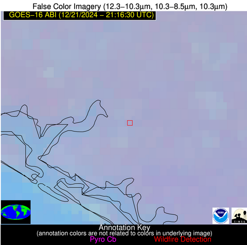
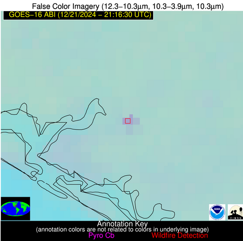
Wildfire Alert Report
| Date: | 2024-12-21 |
|---|---|
| Time: | 21:16:17 |
| Production Date and Time: | 2024-12-21 21:20:52 UTC |
| Primary Instrument: | GOES-16 ABI |
| Wmo Spacecraft Id: | 152 |
| Location/orbit: | GEO |
| L1 File: | OR_ABI-L1b-RadC-M6C14_G16_s20243562116176_e20243562118549_c20243562119052.nc |
| L1 File(s) - Temporal | OR_ABI-L1b-RadC-M6C14_G16_s20243562111176_e20243562113549_c20243562114045.nc |
| Number Of Thermal Anomaly Alerts: | 3 |
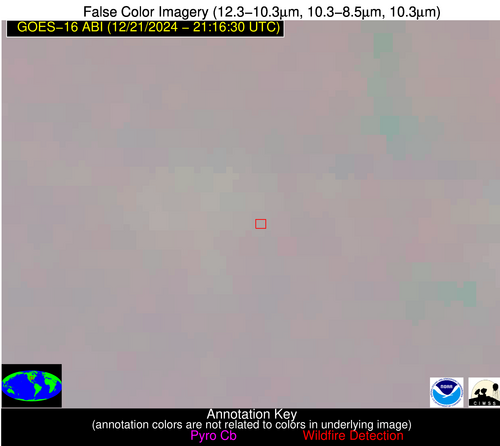
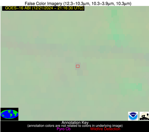
Possible Wildfire
| Basic Information | |
|---|---|
| State/Province(s) | KS |
| Country/Countries | USA |
| County/Locality(s) | Shawnee County, KS |
| NWS WFO | Topeka KS |
| Identification Method | Enhanced Contextual (Clear) |
| Mean Object Date/Time | 2024-12-21 21:16:50UTC |
| Radiative Center (Lat, Lon): | 39.010000°, -95.620000° |
| Nearby Counties (meeting alert criteria): |
|
| Total Radiative Power Anomaly | n/a |
| Total Radiative Power | 2.47 MW |
| Map: | |
| Additional Information | |
| Alert Status | New Feature |
| Type of Event | Likely an Urban Source |
| Event Priority Ranking | 5 |
| Maximum Observed BT (3.9 um) | 280.38 K |
| Observed - Background BT (3.9 um) | 2.12 K |
| BT Anomaly (3.9 um) | 4.57 K |
| Maximum Observed - Clear RTM BT (3.9 um) | 8.45 K |
| Maximum Observed BTD (3.9-10/11/12 um) | 5.28 K |
| Observed - Background BTD (3.9-10/11/12 um) | 1.77 K |
| BTD Anomaly (3.9-10/11/12 um) | 5.12 K |
| Similar Pixel Count | 17 |
| BT Time Tendency (3.9 um) | 1.70 K |
| Image Interval | 5.00 minutes |
| Fraction of Surrounding LWIR Pixels that are Colder | 0.82 |
| Fraction of Surrounding Red Channel Pixels that are Brighter | 1.00 |
| Maximum Radiative Power | 2.47 MW |
| Maximum Radiative Power Uncertainty | 0.00 MW |
| Total Radiative Power Uncertainty | 0.00 MW |
| Mean Viewing Angle | 50.20° |
| Mean Solar Zenith Angle | 74.80° |
| Mean Glint Angle | 93.50° |
| Water Fraction | 0.00 |
| Total Pixel Area | 7.30 km2 |
| Latest Satellite Imagery: | |
| View all event imagery » | |
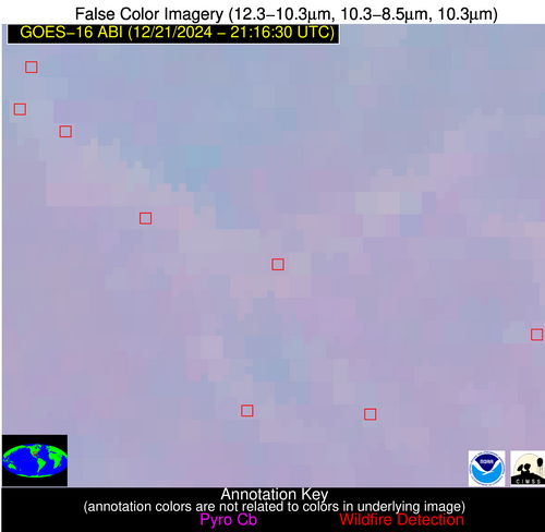
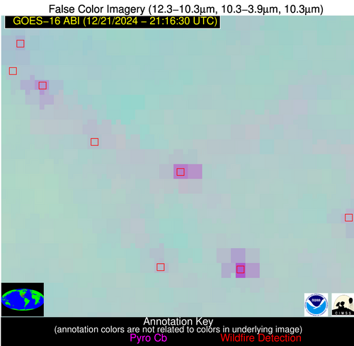
Possible Wildfire
| Basic Information | |
|---|---|
| State/Province(s) | LA |
| Country/Countries | USA |
| County/Locality(s) | Avoyelles Parish, LA |
| NWS WFO | Lake Charles LA |
| Identification Method | Enhanced Contextual (Clear) |
| Mean Object Date/Time | 2024-12-21 21:17:20UTC |
| Radiative Center (Lat, Lon): | 30.940000°, -92.140000° |
| Nearby Counties (meeting alert criteria): |
|
| Total Radiative Power Anomaly | n/a |
| Total Radiative Power | 33.77 MW |
| Map: | |
| Additional Information | |
| Alert Status | New Feature |
| Type of Event | Nominal Risk |
| Event Priority Ranking | 4 |
| Maximum Observed BT (3.9 um) | 295.28 K |
| Observed - Background BT (3.9 um) | 10.47 K |
| BT Anomaly (3.9 um) | 6.71 K |
| Maximum Observed - Clear RTM BT (3.9 um) | 16.11 K |
| Maximum Observed BTD (3.9-10/11/12 um) | 13.20 K |
| Observed - Background BTD (3.9-10/11/12 um) | 10.45 K |
| BTD Anomaly (3.9-10/11/12 um) | 7.26 K |
| Similar Pixel Count | 2 |
| BT Time Tendency (3.9 um) | 5.00 K |
| Image Interval | 5.00 minutes |
| Fraction of Surrounding LWIR Pixels that are Colder | 0.49 |
| Fraction of Surrounding Red Channel Pixels that are Brighter | 0.76 |
| Maximum Radiative Power | 20.05 MW |
| Maximum Radiative Power Uncertainty | 0.00 MW |
| Total Radiative Power Uncertainty | 0.00 MW |
| Mean Viewing Angle | 40.70° |
| Mean Solar Zenith Angle | 70.90° |
| Mean Glint Angle | 84.10° |
| Water Fraction | 0.00 |
| Total Pixel Area | 11.70 km2 |
| Latest Satellite Imagery: | |
| View all event imagery » | |
Possible Wildfire
| Basic Information | |
|---|---|
| State/Province(s) | FL |
| Country/Countries | USA |
| County/Locality(s) | Bay County, FL |
| NWS WFO | Tallahassee FL |
| Identification Method | Enhanced Contextual (Clear) |
| Mean Object Date/Time | 2024-12-21 21:17:21UTC |
| Radiative Center (Lat, Lon): | 30.270000°, -85.500000° |
| Nearby Counties (meeting alert criteria): |
|
| Total Radiative Power Anomaly | n/a |
| Total Radiative Power | 10.73 MW |
| Map: | |
| Additional Information | |
| Alert Status | New Feature |
| Type of Event | Nominal Risk |
| Event Priority Ranking | 4 |
| Maximum Observed BT (3.9 um) | 290.98 K |
| Observed - Background BT (3.9 um) | 6.44 K |
| BT Anomaly (3.9 um) | 6.79 K |
| Maximum Observed - Clear RTM BT (3.9 um) | 11.20 K |
| Maximum Observed BTD (3.9-10/11/12 um) | 8.35 K |
| Observed - Background BTD (3.9-10/11/12 um) | 6.47 K |
| BTD Anomaly (3.9-10/11/12 um) | 15.03 K |
| Similar Pixel Count | 1 |
| BT Time Tendency (3.9 um) | 5.80 K |
| Image Interval | 5.00 minutes |
| Fraction of Surrounding LWIR Pixels that are Colder | 0.51 |
| Fraction of Surrounding Red Channel Pixels that are Brighter | 0.97 |
| Maximum Radiative Power | 10.73 MW |
| Maximum Radiative Power Uncertainty | 0.00 MW |
| Total Radiative Power Uncertainty | 0.00 MW |
| Mean Viewing Angle | 37.20° |
| Mean Solar Zenith Angle | 74.70° |
| Mean Glint Angle | 89.20° |
| Water Fraction | 0.00 |
| Total Pixel Area | 5.40 km2 |
| Latest Satellite Imagery: | |
| View all event imagery » | |
