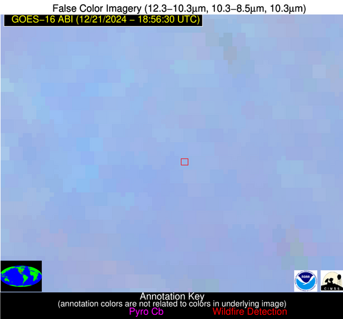
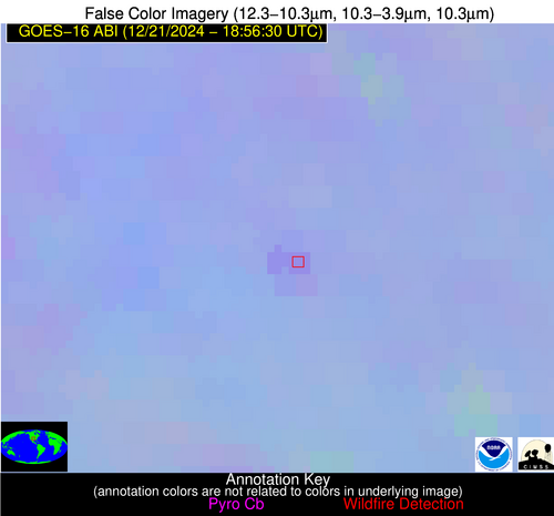
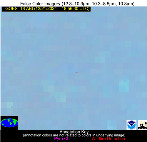
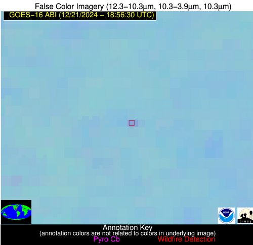
Jan 2026: Due to an ongoing data center cooling system construction project, NGFS data outages may occur with little or no notice.
Wildfire Alert Report
| Date: | 2024-12-21 |
|---|---|
| Time: | 18:56:17 |
| Production Date and Time: | 2024-12-21 19:00:54 UTC |
| Primary Instrument: | GOES-16 ABI |
| Wmo Spacecraft Id: | 152 |
| Location/orbit: | GEO |
| L1 File: | OR_ABI-L1b-RadC-M6C14_G16_s20243561856176_e20243561858549_c20243561859051.nc |
| L1 File(s) - Temporal | OR_ABI-L1b-RadC-M6C14_G16_s20243561851176_e20243561853549_c20243561854055.nc |
| Number Of Thermal Anomaly Alerts: | 4 |
Possible Wildfire
| Basic Information | |
|---|---|
| State/Province(s) | OK |
| Country/Countries | USA |
| County/Locality(s) | Caddo County, OK |
| NWS WFO | Norman OK |
| Identification Method | Enhanced Contextual (Clear) |
| Mean Object Date/Time | 2024-12-21 18:57:20UTC |
| Radiative Center (Lat, Lon): | 34.990000°, -98.560000° |
| Nearby Counties (meeting alert criteria): |
|
| Total Radiative Power Anomaly | n/a |
| Total Radiative Power | 18.84 MW |
| Map: | |
| Additional Information | |
| Alert Status | New Feature |
| Type of Event | Nominal Risk |
| Event Priority Ranking | 4 |
| Maximum Observed BT (3.9 um) | 299.14 K |
| Observed - Background BT (3.9 um) | 4.60 K |
| BT Anomaly (3.9 um) | 3.03 K |
| Maximum Observed - Clear RTM BT (3.9 um) | 18.14 K |
| Maximum Observed BTD (3.9-10/11/12 um) | 11.81 K |
| Observed - Background BTD (3.9-10/11/12 um) | 4.32 K |
| BTD Anomaly (3.9-10/11/12 um) | 5.70 K |
| Similar Pixel Count | 13 |
| BT Time Tendency (3.9 um) | 2.50 K |
| Image Interval | 5.00 minutes |
| Fraction of Surrounding LWIR Pixels that are Colder | 0.64 |
| Fraction of Surrounding Red Channel Pixels that are Brighter | 1.00 |
| Maximum Radiative Power | 9.88 MW |
| Maximum Radiative Power Uncertainty | 0.00 MW |
| Total Radiative Power Uncertainty | 0.00 MW |
| Mean Viewing Angle | 47.90° |
| Mean Solar Zenith Angle | 58.70° |
| Mean Glint Angle | 96.40° |
| Water Fraction | 0.00 |
| Total Pixel Area | 14.00 km2 |
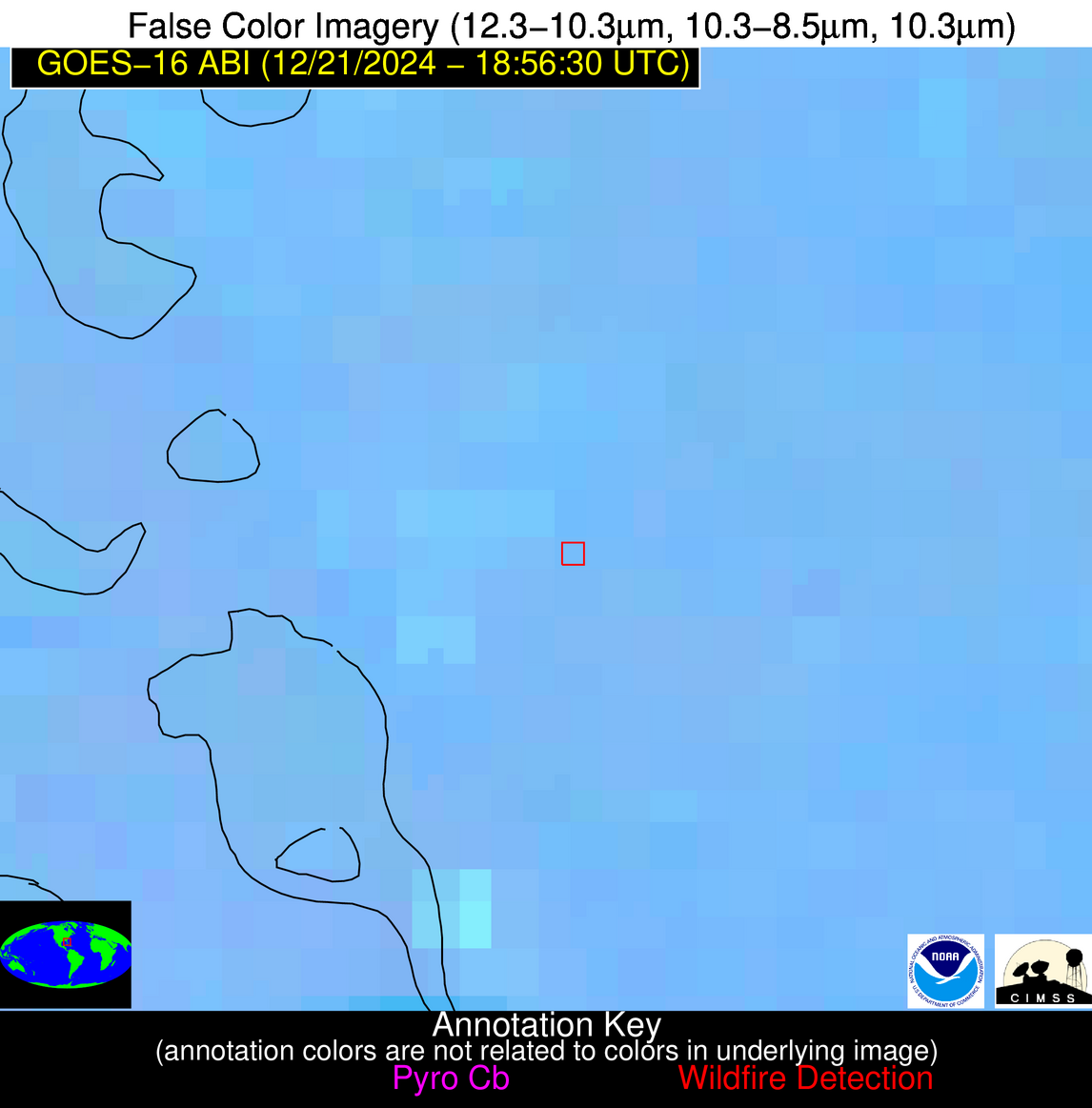
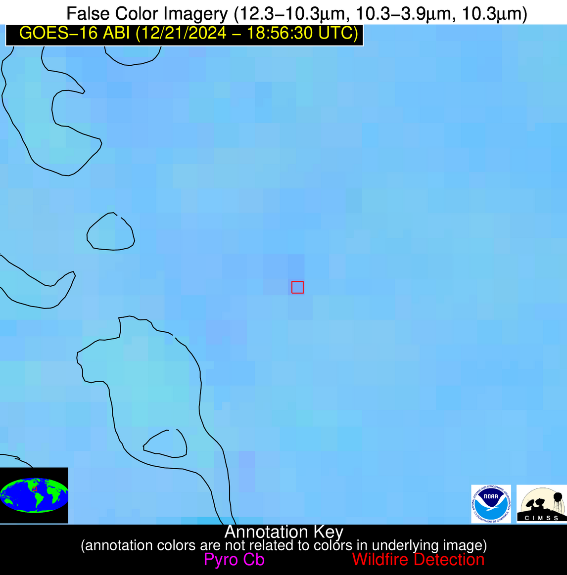
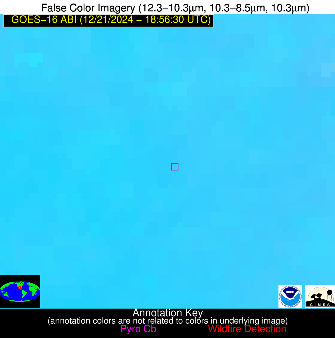
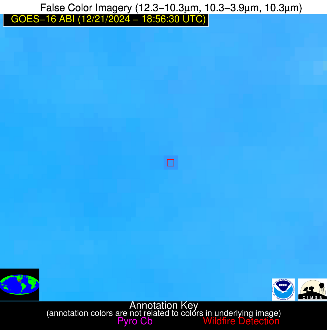
| Latest Satellite Imagery: | |
| View all event imagery » | |
Possible Wildfire
| Basic Information | |
|---|---|
| State/Province(s) | GA |
| Country/Countries | USA |
| County/Locality(s) | Laurens County, GA |
| NWS WFO | Peachtree City GA |
| Identification Method | Enhanced Contextual (Clear) |
| Mean Object Date/Time | 2024-12-21 18:57:22UTC |
| Radiative Center (Lat, Lon): | 32.290000°, -82.800000° |
| Nearby Counties (meeting alert criteria): |
|
| Total Radiative Power Anomaly | n/a |
| Total Radiative Power | 7.68 MW |
| Map: | |
| Additional Information | |
| Alert Status | New Feature |
| Type of Event | Nominal Risk |
| Event Priority Ranking | 4 |
| Maximum Observed BT (3.9 um) | 292.94 K |
| Observed - Background BT (3.9 um) | 4.58 K |
| BT Anomaly (3.9 um) | 5.42 K |
| Maximum Observed - Clear RTM BT (3.9 um) | 10.35 K |
| Maximum Observed BTD (3.9-10/11/12 um) | 8.89 K |
| Observed - Background BTD (3.9-10/11/12 um) | 4.28 K |
| BTD Anomaly (3.9-10/11/12 um) | 10.50 K |
| Similar Pixel Count | 1 |
| BT Time Tendency (3.9 um) | 2.10 K |
| Image Interval | 5.00 minutes |
| Fraction of Surrounding LWIR Pixels that are Colder | 0.75 |
| Fraction of Surrounding Red Channel Pixels that are Brighter | 1.00 |
| Maximum Radiative Power | 7.68 MW |
| Maximum Radiative Power Uncertainty | 0.00 MW |
| Total Radiative Power Uncertainty | 0.00 MW |
| Mean Viewing Angle | 38.60° |
| Mean Solar Zenith Angle | 59.50° |
| Mean Glint Angle | 91.80° |
| Water Fraction | 0.00 |
| Total Pixel Area | 5.50 km2 |
| Latest Satellite Imagery: | |
| View all event imagery » | |
Possible Wildfire
| Basic Information | |
|---|---|
| State/Province(s) | FL |
| Country/Countries | USA |
| County/Locality(s) | Osceola County, FL |
| NWS WFO | Melbourne FL |
| Identification Method | Enhanced Contextual (Clear) |
| Mean Object Date/Time | 2024-12-21 18:57:52UTC |
| Radiative Center (Lat, Lon): | 28.020000°, -81.120000° |
| Nearby Counties (meeting alert criteria): |
|
| Total Radiative Power Anomaly | n/a |
| Total Radiative Power | 7.86 MW |
| Map: | |
| Additional Information | |
| Alert Status | New Feature |
| Type of Event | Nominal Risk |
| Event Priority Ranking | 4 |
| Maximum Observed BT (3.9 um) | 298.62 K |
| Observed - Background BT (3.9 um) | 4.03 K |
| BT Anomaly (3.9 um) | 2.61 K |
| Maximum Observed - Clear RTM BT (3.9 um) | 10.87 K |
| Maximum Observed BTD (3.9-10/11/12 um) | 8.44 K |
| Observed - Background BTD (3.9-10/11/12 um) | 3.82 K |
| BTD Anomaly (3.9-10/11/12 um) | 5.54 K |
| Similar Pixel Count | 5 |
| BT Time Tendency (3.9 um) | 1.50 K |
| Image Interval | 5.00 minutes |
| Fraction of Surrounding LWIR Pixels that are Colder | 0.58 |
| Fraction of Surrounding Red Channel Pixels that are Brighter | 0.96 |
| Maximum Radiative Power | 7.86 MW |
| Maximum Radiative Power Uncertainty | 0.00 MW |
| Total Radiative Power Uncertainty | 0.00 MW |
| Mean Viewing Angle | 33.50° |
| Mean Solar Zenith Angle | 56.30° |
| Mean Glint Angle | 84.00° |
| Water Fraction | 0.00 |
| Total Pixel Area | 5.10 km2 |
| Latest Satellite Imagery: | |
| View all event imagery » | |
Possible Wildfire
| Basic Information | |
|---|---|
| State/Province(s) | TX |
| Country/Countries | USA |
| County/Locality(s) | McMullen County, TX |
| NWS WFO | Corpus Christi TX |
| Identification Method | Enhanced Contextual (Clear) |
| Mean Object Date/Time | 2024-12-21 18:57:49UTC |
| Radiative Center (Lat, Lon): | 28.340000°, -98.630000° |
| Nearby Counties (meeting alert criteria): |
|
| Total Radiative Power Anomaly | n/a |
| Total Radiative Power | 10.49 MW |
| Map: | |
| Additional Information | |
| Alert Status | New Feature |
| Type of Event | Oil/gas |
| Event Priority Ranking | 5 |
| Maximum Observed BT (3.9 um) | 305.82 K |
| Observed - Background BT (3.9 um) | 3.63 K |
| BT Anomaly (3.9 um) | 3.33 K |
| Maximum Observed - Clear RTM BT (3.9 um) | 13.02 K |
| Maximum Observed BTD (3.9-10/11/12 um) | 12.45 K |
| Observed - Background BTD (3.9-10/11/12 um) | 3.35 K |
| BTD Anomaly (3.9-10/11/12 um) | 5.61 K |
| Similar Pixel Count | 25 |
| BT Time Tendency (3.9 um) | 1.60 K |
| Image Interval | 5.00 minutes |
| Fraction of Surrounding LWIR Pixels that are Colder | 0.73 |
| Fraction of Surrounding Red Channel Pixels that are Brighter | 1.00 |
| Maximum Radiative Power | 10.49 MW |
| Maximum Radiative Power Uncertainty | 0.00 MW |
| Total Radiative Power Uncertainty | 0.00 MW |
| Mean Viewing Angle | 42.10° |
| Mean Solar Zenith Angle | 52.10° |
| Mean Glint Angle | 83.60° |
| Water Fraction | 0.00 |
| Total Pixel Area | 6.10 km2 |
| Latest Satellite Imagery: | |
| View all event imagery » | |
