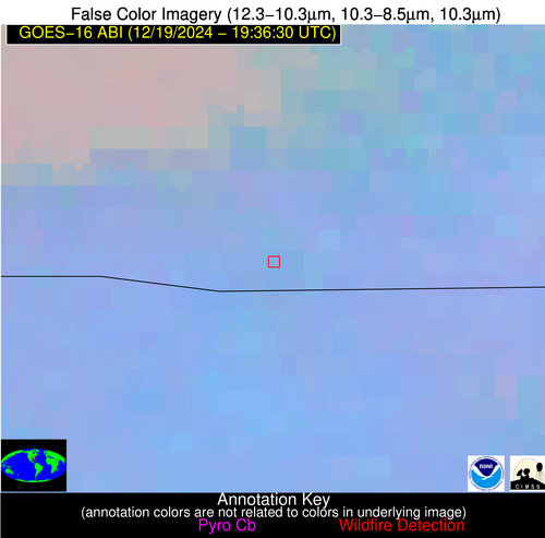
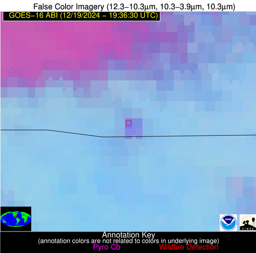
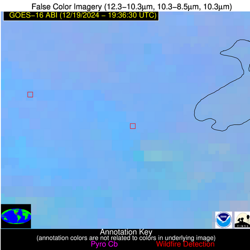
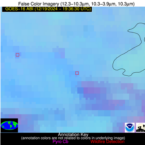
Wildfire Alert Report
| Date: | 2024-12-19 |
|---|---|
| Time: | 19:36:17 |
| Production Date and Time: | 2024-12-19 19:40:49 UTC |
| Primary Instrument: | GOES-16 ABI |
| Wmo Spacecraft Id: | 152 |
| Location/orbit: | GEO |
| L1 File: | OR_ABI-L1b-RadC-M6C14_G16_s20243541936175_e20243541938548_c20243541939035.nc |
| L1 File(s) - Temporal | OR_ABI-L1b-RadC-M6C14_G16_s20243541931175_e20243541933548_c20243541934028.nc |
| Number Of Thermal Anomaly Alerts: | 4 |
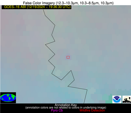
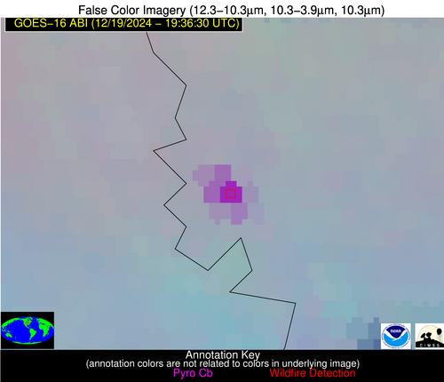
Possible Wildfire
| Basic Information | |
|---|---|
| State/Province(s) | IA |
| Country/Countries | USA |
| County/Locality(s) | Harrison County, IA |
| NWS WFO | Omaha/Valley NE |
| Identification Method | Enhanced Contextual (Cloud) |
| Mean Object Date/Time | 2024-12-19 19:36:50UTC |
| Radiative Center (Lat, Lon): | 41.620000°, -96.020000° |
| Nearby Counties (meeting alert criteria): |
|
| Total Radiative Power Anomaly | n/a |
| Total Radiative Power | 54.76 MW |
| Map: | |
| Additional Information | |
| Alert Status | New Feature |
| Type of Event | Nominal Risk |
| Event Priority Ranking | 4 |
| Maximum Observed BT (3.9 um) | 304.14 K |
| Observed - Background BT (3.9 um) | 18.68 K |
| BT Anomaly (3.9 um) | 20.29 K |
| Maximum Observed - Clear RTM BT (3.9 um) | 27.61 K |
| Maximum Observed BTD (3.9-10/11/12 um) | 25.90 K |
| Observed - Background BTD (3.9-10/11/12 um) | 18.10 K |
| BTD Anomaly (3.9-10/11/12 um) | 32.95 K |
| Similar Pixel Count | 0 |
| BT Time Tendency (3.9 um) | 16.90 K |
| Image Interval | 5.00 minutes |
| Fraction of Surrounding LWIR Pixels that are Colder | 0.72 |
| Fraction of Surrounding Red Channel Pixels that are Brighter | 1.00 |
| Maximum Radiative Power | 54.76 MW |
| Maximum Radiative Power Uncertainty | 0.00 MW |
| Total Radiative Power Uncertainty | 0.00 MW |
| Mean Viewing Angle | 52.80° |
| Mean Solar Zenith Angle | 67.30° |
| Mean Glint Angle | 104.70° |
| Water Fraction | 0.00 |
| Total Pixel Area | 7.90 km2 |
| Latest Satellite Imagery: | |
| View all event imagery » | |
Possible Wildfire
| Basic Information | |
|---|---|
| State/Province(s) | MS |
| Country/Countries | USA |
| County/Locality(s) | Tishomingo County, MS |
| NWS WFO | Memphis TN |
| Identification Method | Enhanced Contextual (Clear) |
| Mean Object Date/Time | 2024-12-19 19:37:21UTC |
| Radiative Center (Lat, Lon): | 34.800000°, -88.330000° |
| Nearby Counties (meeting alert criteria): |
|
| Total Radiative Power Anomaly | n/a |
| Total Radiative Power | 2.61 MW |
| Map: | |
| Additional Information | |
| Alert Status | New Feature |
| Type of Event | VIIRS 375m static sources 2013_2018 |
| Event Priority Ranking | 5 |
| Maximum Observed BT (3.9 um) | 287.17 K |
| Observed - Background BT (3.9 um) | 1.94 K |
| BT Anomaly (3.9 um) | 2.69 K |
| Maximum Observed - Clear RTM BT (3.9 um) | 5.17 K |
| Maximum Observed BTD (3.9-10/11/12 um) | 4.95 K |
| Observed - Background BTD (3.9-10/11/12 um) | 1.61 K |
| BTD Anomaly (3.9-10/11/12 um) | 4.10 K |
| Similar Pixel Count | 13 |
| BT Time Tendency (3.9 um) | 1.00 K |
| Image Interval | 5.00 minutes |
| Fraction of Surrounding LWIR Pixels that are Colder | 0.73 |
| Fraction of Surrounding Red Channel Pixels that are Brighter | 1.00 |
| Maximum Radiative Power | 2.61 MW |
| Maximum Radiative Power Uncertainty | 0.00 MW |
| Total Radiative Power Uncertainty | 0.00 MW |
| Mean Viewing Angle | 43.00° |
| Mean Solar Zenith Angle | 63.40° |
| Mean Glint Angle | 93.90° |
| Water Fraction | 0.00 |
| Total Pixel Area | 6.10 km2 |
| Latest Satellite Imagery: | |
| View all event imagery » | |
Possible Wildfire
| Basic Information | |
|---|---|
| State/Province(s) | AL |
| Country/Countries | USA |
| County/Locality(s) | Covington County, AL |
| NWS WFO | Mobile AL |
| Identification Method | Enhanced Contextual (Clear) |
| Mean Object Date/Time | 2024-12-19 19:37:21UTC |
| Radiative Center (Lat, Lon): | 31.020000°, -86.220000° |
| Nearby Counties (meeting alert criteria): |
|
| Total Radiative Power Anomaly | n/a |
| Total Radiative Power | 49.42 MW |
| Map: | |
| Additional Information | |
| Alert Status | New Feature |
| Type of Event | Nominal Risk |
| Event Priority Ranking | 4 |
| Maximum Observed BT (3.9 um) | 301.65 K |
| Observed - Background BT (3.9 um) | 9.44 K |
| BT Anomaly (3.9 um) | 10.28 K |
| Maximum Observed - Clear RTM BT (3.9 um) | 13.83 K |
| Maximum Observed BTD (3.9-10/11/12 um) | 15.11 K |
| Observed - Background BTD (3.9-10/11/12 um) | 10.34 K |
| BTD Anomaly (3.9-10/11/12 um) | 7.85 K |
| Similar Pixel Count | 4 |
| BT Time Tendency (3.9 um) | 3.10 K |
| Image Interval | 5.00 minutes |
| Fraction of Surrounding LWIR Pixels that are Colder | 0.39 |
| Fraction of Surrounding Red Channel Pixels that are Brighter | 0.38 |
| Maximum Radiative Power | 33.99 MW |
| Maximum Radiative Power Uncertainty | 0.00 MW |
| Total Radiative Power Uncertainty | 0.00 MW |
| Mean Viewing Angle | 38.20° |
| Mean Solar Zenith Angle | 61.00° |
| Mean Glint Angle | 87.70° |
| Water Fraction | 0.00 |
| Total Pixel Area | 16.50 km2 |
| Latest Satellite Imagery: | |
| View all event imagery » | |
Possible Wildfire
| Basic Information | |
|---|---|
| State/Province(s) | LA |
| Country/Countries | USA |
| County/Locality(s) | Lafourche Parish, LA |
| NWS WFO | New Orleans LA |
| Identification Method | Enhanced Contextual (Clear) |
| Mean Object Date/Time | 2024-12-19 19:37:51UTC |
| Radiative Center (Lat, Lon): | 29.670000°, -90.490000° |
| Nearby Counties (meeting alert criteria): |
|
| Total Radiative Power Anomaly | n/a |
| Total Radiative Power | 9.72 MW |
| Map: | |
| Additional Information | |
| Alert Status | New Feature |
| Type of Event | Nominal Risk |
| Event Priority Ranking | 4 |
| Maximum Observed BT (3.9 um) | 299.10 K |
| Observed - Background BT (3.9 um) | 4.85 K |
| BT Anomaly (3.9 um) | 3.41 K |
| Maximum Observed - Clear RTM BT (3.9 um) | 8.54 K |
| Maximum Observed BTD (3.9-10/11/12 um) | 9.38 K |
| Observed - Background BTD (3.9-10/11/12 um) | 4.08 K |
| BTD Anomaly (3.9-10/11/12 um) | 3.56 K |
| Similar Pixel Count | 16 |
| BT Time Tendency (3.9 um) | 1.60 K |
| Image Interval | 5.00 minutes |
| Fraction of Surrounding LWIR Pixels that are Colder | 0.87 |
| Fraction of Surrounding Red Channel Pixels that are Brighter | 0.96 |
| Maximum Radiative Power | 9.72 MW |
| Maximum Radiative Power Uncertainty | 0.00 MW |
| Total Radiative Power Uncertainty | 0.00 MW |
| Mean Viewing Angle | 38.60° |
| Mean Solar Zenith Angle | 58.00° |
| Mean Glint Angle | 83.50° |
| Water Fraction | 0.00 |
| Total Pixel Area | 5.60 km2 |
| Latest Satellite Imagery: | |
| View all event imagery » | |
