Wildfire Alert Report
| Date: | 2024-12-19 |
|---|---|
| Time: | 03:10:21 |
| Production Date and Time: | 2024-12-19 03:21:34 UTC |
| Primary Instrument: | GOES-18 ABI |
| Wmo Spacecraft Id: | 665 |
| Location/orbit: | GEO |
| L1 File: | OR_ABI-L1b-RadF-M6C14_G18_s20243540310217_e20243540319526_c20243540319587.nc |
| L1 File(s) - Temporal | OR_ABI-L1b-RadF-M6C14_G18_s20243540300217_e20243540309526_c20243540309579.nc |
| Number Of Thermal Anomaly Alerts: | 2 |
Possible Wildfire
| Basic Information | |
|---|---|
| State/Province(s) | British Columbia |
| Country/Countries | Canada |
| County/Locality(s) | Bulkley-Nechako, British Columbia |
| NWS WFO | N/A |
| Identification Method | Enhanced Contextual (Bias) |
| Mean Object Date/Time | 2024-12-19 03:10:40UTC |
| Radiative Center (Lat, Lon): | 53.690000°, -125.660000° |
| Nearby Counties (meeting alert criteria): |
|
| Total Radiative Power Anomaly | n/a |
| Total Radiative Power | 62.59 MW |
| Map: | |
| Additional Information | |
| Alert Status | New Feature |
| Type of Event | Nominal Risk |
| Event Priority Ranking | 4 |
| Maximum Observed BT (3.9 um) | 279.47 K |
| Observed - Background BT (3.9 um) | 19.11 K |
| BT Anomaly (3.9 um) | 14.80 K |
| Maximum Observed - Clear RTM BT (3.9 um) | 19.45 K |
| Maximum Observed BTD (3.9-10/11/12 um) | 18.58 K |
| Observed - Background BTD (3.9-10/11/12 um) | 19.22 K |
| BTD Anomaly (3.9-10/11/12 um) | 36.49 K |
| Similar Pixel Count | 0 |
| BT Time Tendency (3.9 um) | 2.80 K |
| Image Interval | 10.00 minutes |
| Fraction of Surrounding LWIR Pixels that are Colder | 0.44 |
| Fraction of Surrounding Red Channel Pixels that are Brighter | 1.00 |
| Maximum Radiative Power | 62.59 MW |
| Maximum Radiative Power Uncertainty | 0.00 MW |
| Total Radiative Power Uncertainty | 0.00 MW |
| Mean Viewing Angle | 62.60° |
| Mean Solar Zenith Angle | 116.10° |
| Mean Glint Angle | 117.10° |
| Water Fraction | 0.00 |
| Total Pixel Area | 41.40 km2 |
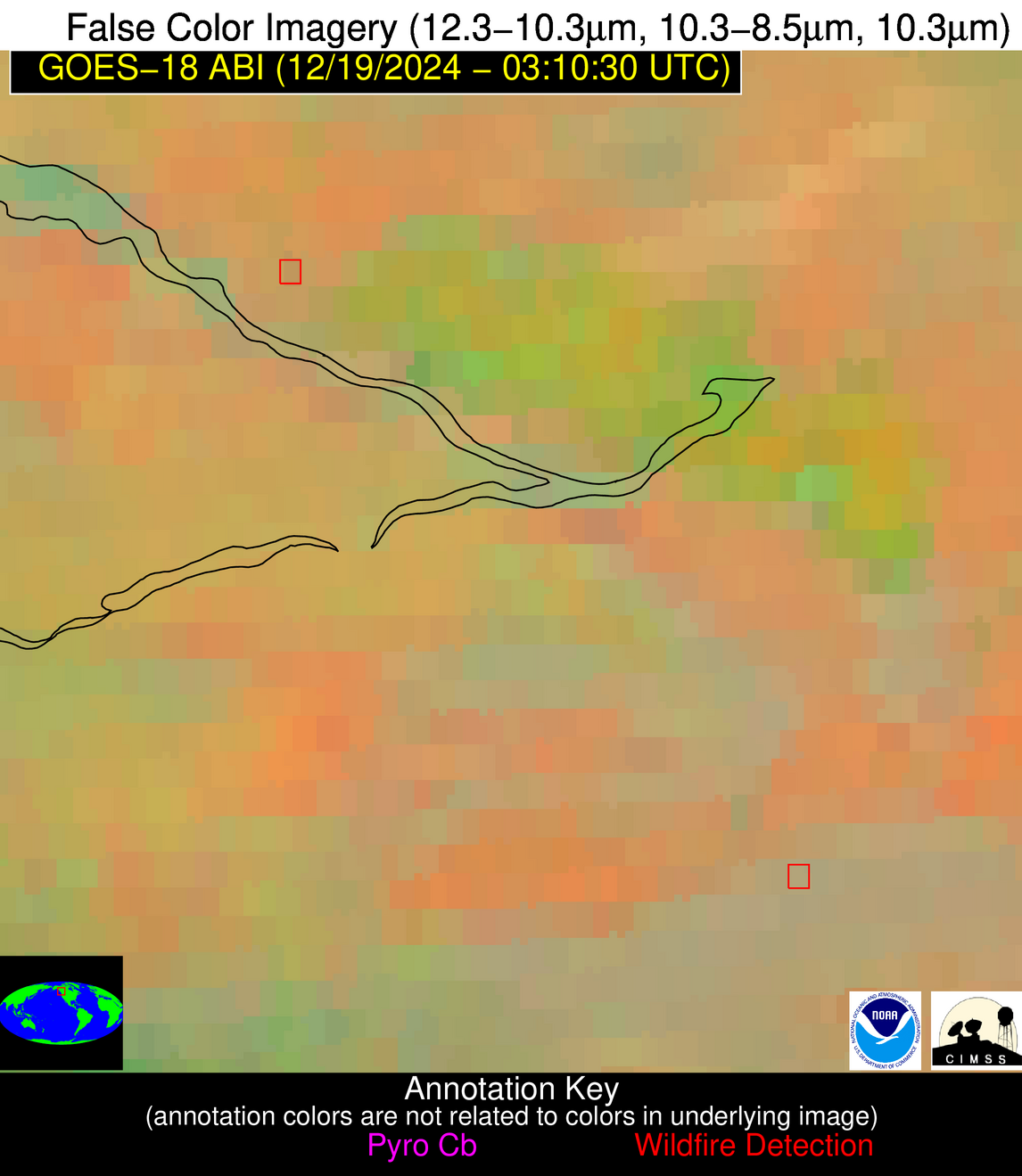
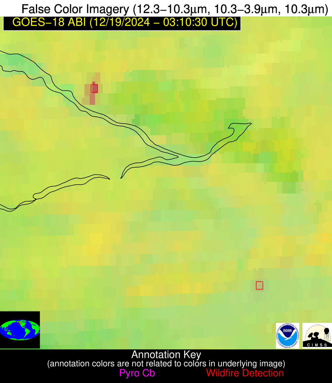
| Latest Satellite Imagery: | |
| View all event imagery » | |
Possible Wildfire
| Basic Information | |
|---|---|
| State/Province(s) | British Columbia |
| Country/Countries | Canada |
| County/Locality(s) | Cariboo, British Columbia |
| NWS WFO | N/A |
| Identification Method | Enhanced Contextual (Cloud) |
| Mean Object Date/Time | 2024-12-19 03:10:40UTC |
| Radiative Center (Lat, Lon): | 52.960000°, -124.760000° |
| Nearby Counties (meeting alert criteria): |
|
| Total Radiative Power Anomaly | n/a |
| Total Radiative Power | 10.38 MW |
| Map: | |
| Additional Information | |
| Alert Status | New Feature |
| Type of Event | Nominal Risk |
| Event Priority Ranking | 4 |
| Maximum Observed BT (3.9 um) | 270.69 K |
| Observed - Background BT (3.9 um) | 5.31 K |
| BT Anomaly (3.9 um) | 5.77 K |
| Maximum Observed - Clear RTM BT (3.9 um) | 8.35 K |
| Maximum Observed BTD (3.9-10/11/12 um) | 4.41 K |
| Observed - Background BTD (3.9-10/11/12 um) | 4.30 K |
| BTD Anomaly (3.9-10/11/12 um) | 12.06 K |
| Similar Pixel Count | 0 |
| BT Time Tendency (3.9 um) | -1.10 K |
| Image Interval | 10.00 minutes |
| Fraction of Surrounding LWIR Pixels that are Colder | 0.92 |
| Fraction of Surrounding Red Channel Pixels that are Brighter | 1.00 |
| Maximum Radiative Power | 10.38 MW |
| Maximum Radiative Power Uncertainty | 0.00 MW |
| Total Radiative Power Uncertainty | 0.00 MW |
| Mean Viewing Angle | 62.00° |
| Mean Solar Zenith Angle | 116.60° |
| Mean Glint Angle | 118.20° |
| Water Fraction | 0.00 |
| Total Pixel Area | 30.50 km2 |
| Latest Satellite Imagery: | |
| View all event imagery » | |


