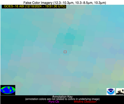
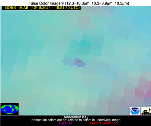
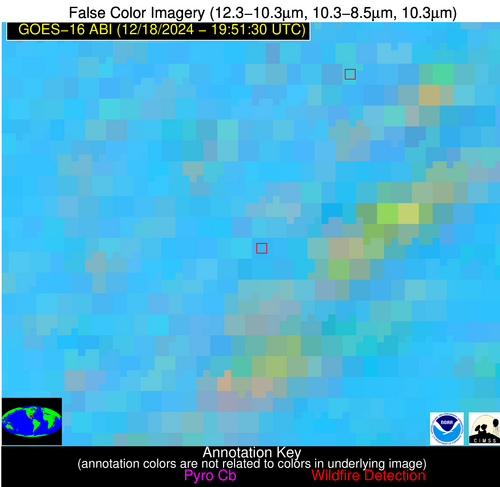
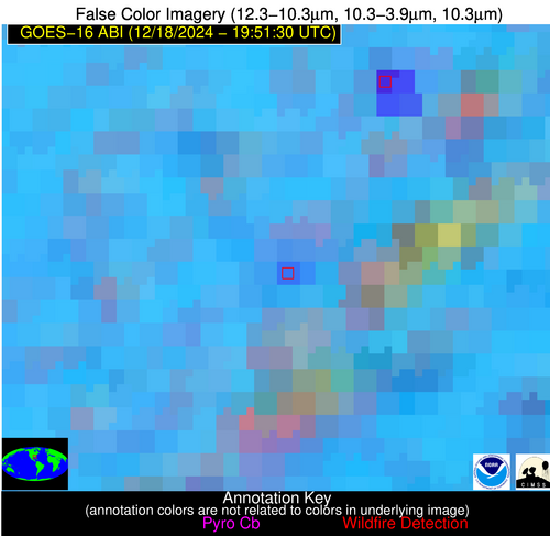
Jan 2026: Due to an ongoing data center cooling system construction project, NGFS data outages may occur with little or no notice. Bitterly cold air in Madison Jan 22-24 increases risk of outages.
Wildfire Alert Report
| Date: | 2024-12-18 |
|---|---|
| Time: | 19:51:17 |
| Production Date and Time: | 2024-12-18 19:55:54 UTC |
| Primary Instrument: | GOES-16 ABI |
| Wmo Spacecraft Id: | 152 |
| Location/orbit: | GEO |
| L1 File: | OR_ABI-L1b-RadC-M6C14_G16_s20243531951174_e20243531953547_c20243531954026.nc |
| L1 File(s) - Temporal | OR_ABI-L1b-RadC-M6C14_G16_s20243531946174_e20243531948547_c20243531949044.nc |
| Number Of Thermal Anomaly Alerts: | 5 |
Possible Wildfire
| Basic Information | |
|---|---|
| State/Province(s) | OR |
| Country/Countries | USA |
| County/Locality(s) | Douglas County, OR |
| NWS WFO | Medford OR |
| Identification Method | Enhanced Contextual (Clear) |
| Mean Object Date/Time | 2024-12-18 19:51:48UTC |
| Radiative Center (Lat, Lon): | 42.940000°, -123.700000° |
| Nearby Counties (meeting alert criteria): |
|
| Total Radiative Power Anomaly | n/a |
| Total Radiative Power | 27.00 MW |
| Map: | |
| Additional Information | |
| Alert Status | New Feature |
| Type of Event | Nominal Risk |
| Event Priority Ranking | 4 |
| Maximum Observed BT (3.9 um) | 290.57 K |
| Observed - Background BT (3.9 um) | 6.22 K |
| BT Anomaly (3.9 um) | 5.02 K |
| Maximum Observed - Clear RTM BT (3.9 um) | 10.94 K |
| Maximum Observed BTD (3.9-10/11/12 um) | 10.12 K |
| Observed - Background BTD (3.9-10/11/12 um) | 5.70 K |
| BTD Anomaly (3.9-10/11/12 um) | 5.03 K |
| Similar Pixel Count | 1 |
| BT Time Tendency (3.9 um) | 1.00 K |
| Image Interval | 5.00 minutes |
| Fraction of Surrounding LWIR Pixels that are Colder | 0.81 |
| Fraction of Surrounding Red Channel Pixels that are Brighter | 1.00 |
| Maximum Radiative Power | 27.00 MW |
| Maximum Radiative Power Uncertainty | 0.00 MW |
| Total Radiative Power Uncertainty | 0.00 MW |
| Mean Viewing Angle | 69.60° |
| Mean Solar Zenith Angle | 66.50° |
| Mean Glint Angle | 111.50° |
| Water Fraction | 0.00 |
| Total Pixel Area | 21.40 km2 |
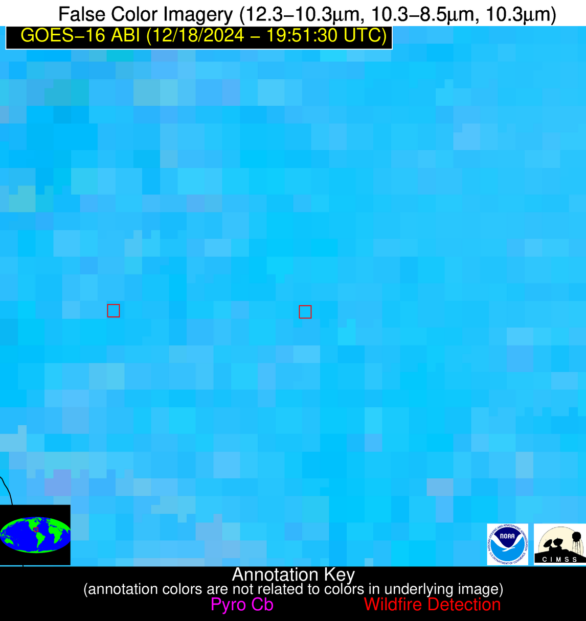
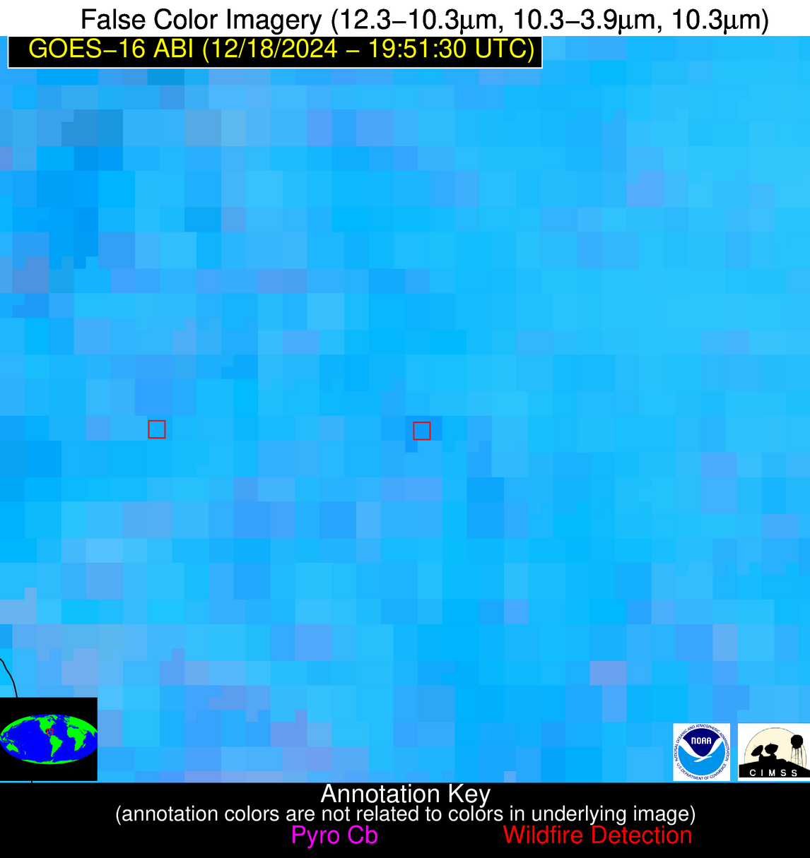
| Latest Satellite Imagery: | |
| View all event imagery » | |
Possible Wildfire
| Basic Information | |
|---|---|
| State/Province(s) | AL |
| Country/Countries | USA |
| County/Locality(s) | Pike County, AL |
| NWS WFO | Birmingham AL |
| Identification Method | Enhanced Contextual (Clear) |
| Mean Object Date/Time | 2024-12-18 19:52:21UTC |
| Radiative Center (Lat, Lon): | 31.800000°, -85.680000° |
| Nearby Counties (meeting alert criteria): |
|
| Total Radiative Power Anomaly | n/a |
| Total Radiative Power | 27.72 MW |
| Map: | |
| Additional Information | |
| Alert Status | New Feature |
| Type of Event | Nominal Risk |
| Event Priority Ranking | 4 |
| Maximum Observed BT (3.9 um) | 305.78 K |
| Observed - Background BT (3.9 um) | 9.71 K |
| BT Anomaly (3.9 um) | 9.25 K |
| Maximum Observed - Clear RTM BT (3.9 um) | 14.13 K |
| Maximum Observed BTD (3.9-10/11/12 um) | 17.49 K |
| Observed - Background BTD (3.9-10/11/12 um) | 9.32 K |
| BTD Anomaly (3.9-10/11/12 um) | 8.04 K |
| Similar Pixel Count | 4 |
| BT Time Tendency (3.9 um) | 4.80 K |
| Image Interval | 5.00 minutes |
| Fraction of Surrounding LWIR Pixels that are Colder | 0.80 |
| Fraction of Surrounding Red Channel Pixels that are Brighter | 0.86 |
| Maximum Radiative Power | 27.72 MW |
| Maximum Radiative Power Uncertainty | 0.00 MW |
| Total Radiative Power Uncertainty | 0.00 MW |
| Mean Viewing Angle | 38.90° |
| Mean Solar Zenith Angle | 63.60° |
| Mean Glint Angle | 89.40° |
| Water Fraction | 0.00 |
| Total Pixel Area | 5.60 km2 |
| Latest Satellite Imagery: | |
| View all event imagery » | |
Possible Wildfire
| Basic Information | |
|---|---|
| State/Province(s) | LA |
| Country/Countries | USA |
| County/Locality(s) | St. Landry Parish, LA |
| NWS WFO | Lake Charles LA |
| Identification Method | Enhanced Contextual (Clear) |
| Mean Object Date/Time | 2024-12-18 19:52:20UTC |
| Radiative Center (Lat, Lon): | 30.460000°, -91.920000° |
| Nearby Counties (meeting alert criteria): |
|
| Total Radiative Power Anomaly | n/a |
| Total Radiative Power | 30.65 MW |
| Map: | |
| Additional Information | |
| Alert Status | New Feature |
| Type of Event | Nominal Risk |
| Event Priority Ranking | 4 |
| Maximum Observed BT (3.9 um) | 303.16 K |
| Observed - Background BT (3.9 um) | 6.40 K |
| BT Anomaly (3.9 um) | 4.84 K |
| Maximum Observed - Clear RTM BT (3.9 um) | 10.22 K |
| Maximum Observed BTD (3.9-10/11/12 um) | 13.88 K |
| Observed - Background BTD (3.9-10/11/12 um) | 5.33 K |
| BTD Anomaly (3.9-10/11/12 um) | 4.69 K |
| Similar Pixel Count | 14 |
| BT Time Tendency (3.9 um) | 5.20 K |
| Image Interval | 5.00 minutes |
| Fraction of Surrounding LWIR Pixels that are Colder | 0.69 |
| Fraction of Surrounding Red Channel Pixels that are Brighter | 0.92 |
| Maximum Radiative Power | 16.06 MW |
| Maximum Radiative Power Uncertainty | 0.00 MW |
| Total Radiative Power Uncertainty | 0.00 MW |
| Mean Viewing Angle | 40.10° |
| Mean Solar Zenith Angle | 59.70° |
| Mean Glint Angle | 84.10° |
| Water Fraction | 0.00 |
| Total Pixel Area | 11.50 km2 |
| Latest Satellite Imagery: | |
| View all event imagery » | |
Possible Wildfire
| Basic Information | |
|---|---|
| State/Province(s) | Chihuahua |
| Country/Countries | Mexico |
| County/Locality(s) | Cusihuiriachi, Chihuahua |
| NWS WFO | N/A |
| Identification Method | Enhanced Contextual (Clear) |
| Mean Object Date/Time | 2024-12-18 19:52:49UTC |
| Radiative Center (Lat, Lon): | 28.300000°, -107.090000° |
| Nearby Counties (meeting alert criteria): |
|
| Total Radiative Power Anomaly | n/a |
| Total Radiative Power | 21.42 MW |
| Map: | |
| Additional Information | |
| Alert Status | New Feature |
| Type of Event | Nominal Risk |
| Event Priority Ranking | 4 |
| Maximum Observed BT (3.9 um) | 310.24 K |
| Observed - Background BT (3.9 um) | 6.06 K |
| BT Anomaly (3.9 um) | 4.32 K |
| Maximum Observed - Clear RTM BT (3.9 um) | 20.89 K |
| Maximum Observed BTD (3.9-10/11/12 um) | 13.08 K |
| Observed - Background BTD (3.9-10/11/12 um) | 5.76 K |
| BTD Anomaly (3.9-10/11/12 um) | 9.40 K |
| Similar Pixel Count | 3 |
| BT Time Tendency (3.9 um) | 4.00 K |
| Image Interval | 5.00 minutes |
| Fraction of Surrounding LWIR Pixels that are Colder | 0.67 |
| Fraction of Surrounding Red Channel Pixels that are Brighter | 0.62 |
| Maximum Radiative Power | 21.42 MW |
| Maximum Radiative Power Uncertainty | 0.00 MW |
| Total Radiative Power Uncertainty | 0.00 MW |
| Mean Viewing Angle | 48.40° |
| Mean Solar Zenith Angle | 52.90° |
| Mean Glint Angle | 80.80° |
| Water Fraction | 0.00 |
| Total Pixel Area | 7.20 km2 |
| Latest Satellite Imagery: | |
| View all event imagery » | |
Possible Wildfire
| Basic Information | |
|---|---|
| State/Province(s) | Unknown |
| Country/Countries | Cuba |
| County/Locality(s) | Cuba |
| NWS WFO | N/A |
| Identification Method | Enhanced Contextual (Clear) |
| Mean Object Date/Time | 2024-12-18 19:53:22UTC |
| Radiative Center (Lat, Lon): | 22.420000°, -80.880000° |
| Nearby Counties (meeting alert criteria): |
|
| Total Radiative Power Anomaly | n/a |
| Total Radiative Power | 12.59 MW |
| Map: | |
| Additional Information | |
| Alert Status | New Feature |
| Type of Event | Nominal Risk |
| Event Priority Ranking | 4 |
| Maximum Observed BT (3.9 um) | 306.47 K |
| Observed - Background BT (3.9 um) | 5.18 K |
| BT Anomaly (3.9 um) | 5.25 K |
| Maximum Observed - Clear RTM BT (3.9 um) | 7.00 K |
| Maximum Observed BTD (3.9-10/11/12 um) | 12.98 K |
| Observed - Background BTD (3.9-10/11/12 um) | 4.34 K |
| BTD Anomaly (3.9-10/11/12 um) | 5.34 K |
| Similar Pixel Count | 20 |
| BT Time Tendency (3.9 um) | 2.50 K |
| Image Interval | 5.00 minutes |
| Fraction of Surrounding LWIR Pixels that are Colder | 0.89 |
| Fraction of Surrounding Red Channel Pixels that are Brighter | 1.00 |
| Maximum Radiative Power | 12.59 MW |
| Maximum Radiative Power Uncertainty | 0.00 MW |
| Total Radiative Power Uncertainty | 0.00 MW |
| Mean Viewing Angle | 27.10° |
| Mean Solar Zenith Angle | 58.80° |
| Mean Glint Angle | 75.90° |
| Water Fraction | 0.00 |
| Total Pixel Area | 4.70 km2 |
| Latest Satellite Imagery: | |
| View all event imagery » | |
