Wildfire Alert Report
| Date: | 2024-12-10 |
|---|---|
| Time: | 00:01:17 |
| Production Date and Time: | 2024-12-10 00:05:50 UTC |
| Primary Instrument: | GOES-18 ABI |
| Wmo Spacecraft Id: | 665 |
| Location/orbit: | GEO |
| L1 File: | OR_ABI-L1b-RadC-M6C14_G18_s20243450001170_e20243450003543_c20243450004028.nc |
| L1 File(s) - Temporal | OR_ABI-L1b-RadC-M6C14_G18_s20243442356170_e20243442358543_c20243442359011.nc |
| Number Of Thermal Anomaly Alerts: | 2 |
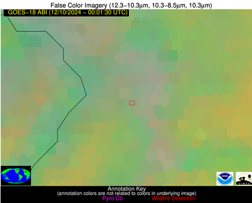
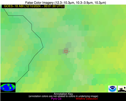
Possible Wildfire
| Basic Information | |
|---|---|
| State/Province(s) | ID |
| Country/Countries | USA |
| County/Locality(s) | Idaho County, ID |
| NWS WFO | Missoula MT |
| Identification Method | Enhanced Contextual (Clear) |
| Mean Object Date/Time | 2024-12-10 00:01:23UTC |
| Radiative Center (Lat, Lon): | 45.580000°, -116.340000° |
| Nearby Counties (meeting alert criteria): |
|
| Total Radiative Power Anomaly | n/a |
| Total Radiative Power | 7.50 MW |
| Map: | |
| Additional Information | |
| Alert Status | New Feature |
| Type of Event | Nominal Risk |
| Event Priority Ranking | 4 |
| Maximum Observed BT (3.9 um) | 274.53 K |
| Observed - Background BT (3.9 um) | 6.43 K |
| BT Anomaly (3.9 um) | 5.19 K |
| Maximum Observed - Clear RTM BT (3.9 um) | 10.72 K |
| Maximum Observed BTD (3.9-10/11/12 um) | 7.58 K |
| Observed - Background BTD (3.9-10/11/12 um) | 5.91 K |
| BTD Anomaly (3.9-10/11/12 um) | 8.27 K |
| Similar Pixel Count | 1 |
| BT Time Tendency (3.9 um) | 1.80 K |
| Image Interval | 5.00 minutes |
| Fraction of Surrounding LWIR Pixels that are Colder | 0.89 |
| Fraction of Surrounding Red Channel Pixels that are Brighter | 1.00 |
| Maximum Radiative Power | 7.50 MW |
| Maximum Radiative Power Uncertainty | 0.00 MW |
| Total Radiative Power Uncertainty | 0.00 MW |
| Mean Viewing Angle | 56.60° |
| Mean Solar Zenith Angle | 90.70° |
| Mean Glint Angle | 137.30° |
| Water Fraction | 0.00 |
| Total Pixel Area | 8.90 km2 |
| Latest Satellite Imagery: | |
| View all event imagery » | |
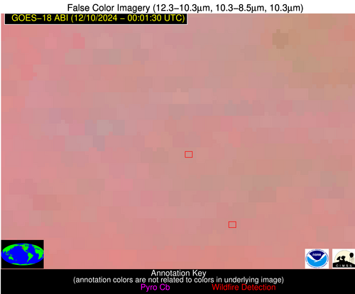
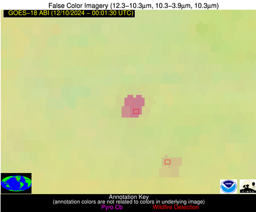
Possible Wildfire
| Basic Information | |
|---|---|
| State/Province(s) | OR |
| Country/Countries | USA |
| County/Locality(s) | Crook County, OR |
| NWS WFO | Pendleton OR |
| Identification Method | Enhanced Contextual (Clear) |
| Mean Object Date/Time | 2024-12-10 00:01:23UTC |
| Radiative Center (Lat, Lon): | 44.080000°, -120.540000° |
| Nearby Counties (meeting alert criteria): |
|
| Total Radiative Power Anomaly | n/a |
| Total Radiative Power | 74.54 MW |
| Map: | |
| Additional Information | |
| Alert Status | New Feature |
| Type of Event | Nominal Risk |
| Event Priority Ranking | 4 |
| Maximum Observed BT (3.9 um) | 284.11 K |
| Observed - Background BT (3.9 um) | 12.80 K |
| BT Anomaly (3.9 um) | 12.86 K |
| Maximum Observed - Clear RTM BT (3.9 um) | 15.90 K |
| Maximum Observed BTD (3.9-10/11/12 um) | 12.81 K |
| Observed - Background BTD (3.9-10/11/12 um) | 12.92 K |
| BTD Anomaly (3.9-10/11/12 um) | 25.07 K |
| Similar Pixel Count | 4 |
| BT Time Tendency (3.9 um) | 1.10 K |
| Image Interval | 5.00 minutes |
| Fraction of Surrounding LWIR Pixels that are Colder | 0.41 |
| Fraction of Surrounding Red Channel Pixels that are Brighter | 1.00 |
| Maximum Radiative Power | 20.04 MW |
| Maximum Radiative Power Uncertainty | 0.00 MW |
| Total Radiative Power Uncertainty | 0.00 MW |
| Mean Viewing Angle | 53.70° |
| Mean Solar Zenith Angle | 87.40° |
| Mean Glint Angle | 131.40° |
| Water Fraction | 0.00 |
| Total Pixel Area | 31.70 km2 |
| Latest Satellite Imagery: | |
| View all event imagery » | |


