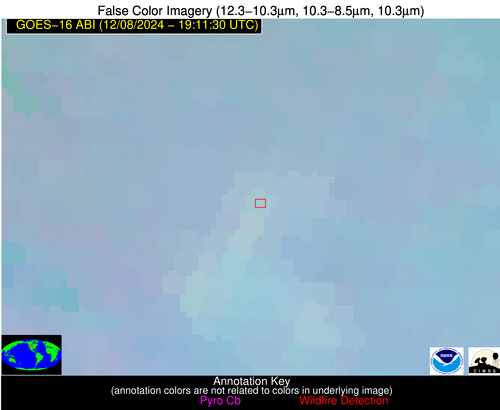
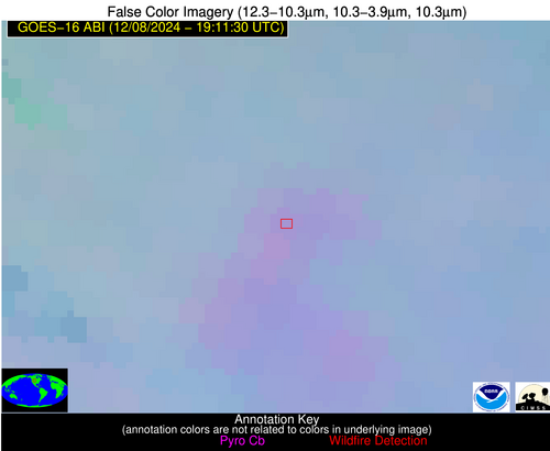
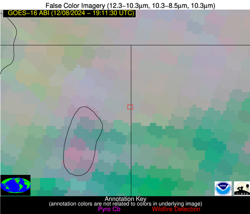
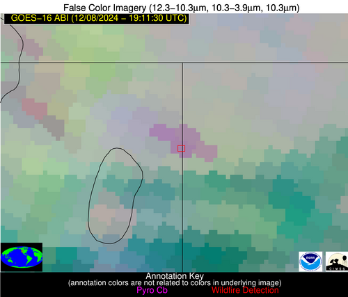
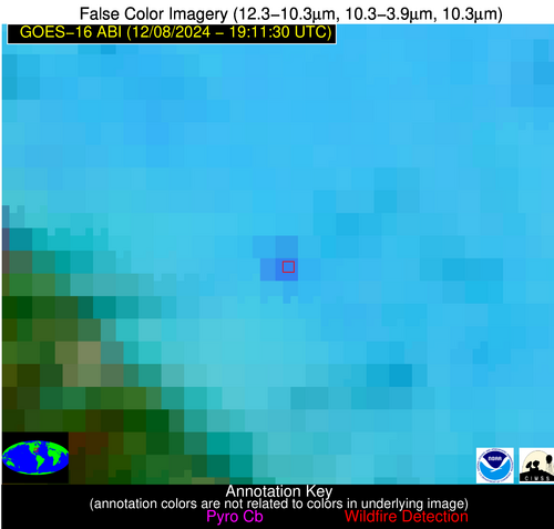
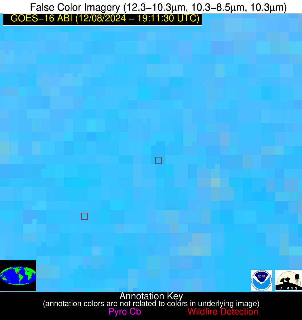
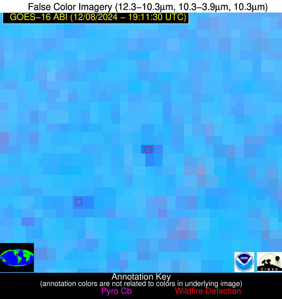
Please consider accessing NGFS detections and satellite imagery through the NOAA/NESDIS Wildland Fire Data Portal: https://fire.data.nesdis.noaa.gov/map/
Wildfire Alert Report
| Date: | 2024-12-08 |
|---|---|
| Time: | 19:11:17 |
| Production Date and Time: | 2024-12-08 19:15:59 UTC |
| Primary Instrument: | GOES-16 ABI |
| Wmo Spacecraft Id: | 152 |
| Location/orbit: | GEO |
| L1 File: | OR_ABI-L1b-RadC-M6C14_G16_s20243431911176_e20243431913549_c20243431914040.nc |
| L1 File(s) - Temporal | OR_ABI-L1b-RadC-M6C14_G16_s20243431906176_e20243431908549_c20243431909016.nc |
| Number Of Thermal Anomaly Alerts: | 6 |
Possible Wildfire
| Basic Information | |
|---|---|
| State/Province(s) | WY |
| Country/Countries | USA |
| County/Locality(s) | Johnson County, WY |
| NWS WFO | Riverton WY |
| Identification Method | Enhanced Contextual (Clear) |
| Mean Object Date/Time | 2024-12-08 19:11:19UTC |
| Radiative Center (Lat, Lon): | 44.320000°, -106.420000° |
| Nearby Counties (meeting alert criteria): |
|
| Total Radiative Power Anomaly | n/a |
| Total Radiative Power | 3.63 MW |
| Map: | |
| Additional Information | |
| Alert Status | New Feature |
| Type of Event | Nominal Risk |
| Event Priority Ranking | 4 |
| Maximum Observed BT (3.9 um) | 293.64 K |
| Observed - Background BT (3.9 um) | 3.12 K |
| BT Anomaly (3.9 um) | 1.63 K |
| Maximum Observed - Clear RTM BT (3.9 um) | 14.89 K |
| Maximum Observed BTD (3.9-10/11/12 um) | 10.16 K |
| Observed - Background BTD (3.9-10/11/12 um) | 2.43 K |
| BTD Anomaly (3.9-10/11/12 um) | 2.55 K |
| Similar Pixel Count | 22 |
| BT Time Tendency (3.9 um) | -0.20 K |
| Image Interval | 5.00 minutes |
| Fraction of Surrounding LWIR Pixels that are Colder | 0.76 |
| Fraction of Surrounding Red Channel Pixels that are Brighter | 1.00 |
| Maximum Radiative Power | 3.63 MW |
| Maximum Radiative Power Uncertainty | 0.00 MW |
| Total Radiative Power Uncertainty | 0.00 MW |
| Mean Viewing Angle | 60.10° |
| Mean Solar Zenith Angle | 67.00° |
| Mean Glint Angle | 112.10° |
| Water Fraction | 0.00 |
| Total Pixel Area | 10.90 km2 |
| Latest Satellite Imagery: | |
| View all event imagery » | |
Possible Wildfire
| Basic Information | |
|---|---|
| State/Province(s) | WI |
| Country/Countries | USA |
| County/Locality(s) | Green County, WI |
| NWS WFO | Milwaukee/Sullivan WI |
| Identification Method | Enhanced Contextual (Clear) |
| Mean Object Date/Time | 2024-12-08 19:11:51UTC |
| Radiative Center (Lat, Lon): | 42.720000°, -89.510000° |
| Nearby Counties (meeting alert criteria): |
|
| Total Radiative Power Anomaly | n/a |
| Total Radiative Power | 5.14 MW |
| Map: | |
| Additional Information | |
| Alert Status | New Feature |
| Type of Event | Nominal Risk |
| Event Priority Ranking | 4 |
| Maximum Observed BT (3.9 um) | 290.57 K |
| Observed - Background BT (3.9 um) | 1.85 K |
| BT Anomaly (3.9 um) | 2.30 K |
| Maximum Observed - Clear RTM BT (3.9 um) | 10.96 K |
| Maximum Observed BTD (3.9-10/11/12 um) | 9.66 K |
| Observed - Background BTD (3.9-10/11/12 um) | 1.78 K |
| BTD Anomaly (3.9-10/11/12 um) | 2.85 K |
| Similar Pixel Count | 25 |
| BT Time Tendency (3.9 um) | 1.10 K |
| Image Interval | 5.00 minutes |
| Fraction of Surrounding LWIR Pixels that are Colder | 0.50 |
| Fraction of Surrounding Red Channel Pixels that are Brighter | 1.00 |
| Maximum Radiative Power | 5.14 MW |
| Maximum Radiative Power Uncertainty | 0.00 MW |
| Total Radiative Power Uncertainty | 0.00 MW |
| Mean Viewing Angle | 51.70° |
| Mean Solar Zenith Angle | 68.00° |
| Mean Glint Angle | 108.50° |
| Water Fraction | 0.00 |
| Total Pixel Area | 7.40 km2 |
| Latest Satellite Imagery: | |
| View all event imagery » | |
Possible Wildfire
| Basic Information | |
|---|---|
| State/Province(s) | CA |
| Country/Countries | USA |
| County/Locality(s) | Modoc County, CA |
| NWS WFO | Reno NV |
| Identification Method | Enhanced Contextual (Clear) |
| Mean Object Date/Time | 2024-12-08 19:11:48UTC |
| Radiative Center (Lat, Lon): | 41.830000°, -120.000000° |
| Nearby Counties (meeting alert criteria): |
|
| Total Radiative Power Anomaly | n/a |
| Total Radiative Power | 23.47 MW |
| Map: | |
| Additional Information | |
| Alert Status | New Feature |
| Type of Event | Nominal Risk |
| Event Priority Ranking | 4 |
| Maximum Observed BT (3.9 um) | 289.61 K |
| Observed - Background BT (3.9 um) | 8.03 K |
| BT Anomaly (3.9 um) | 4.79 K |
| Maximum Observed - Clear RTM BT (3.9 um) | 15.63 K |
| Maximum Observed BTD (3.9-10/11/12 um) | 12.98 K |
| Observed - Background BTD (3.9-10/11/12 um) | 6.80 K |
| BTD Anomaly (3.9-10/11/12 um) | 4.52 K |
| Similar Pixel Count | 9 |
| BT Time Tendency (3.9 um) | 1.30 K |
| Image Interval | 5.00 minutes |
| Fraction of Surrounding LWIR Pixels that are Colder | 0.76 |
| Fraction of Surrounding Red Channel Pixels that are Brighter | 1.00 |
| Maximum Radiative Power | 23.47 MW |
| Maximum Radiative Power Uncertainty | 0.00 MW |
| Total Radiative Power Uncertainty | 0.00 MW |
| Mean Viewing Angle | 66.50° |
| Mean Solar Zenith Angle | 65.10° |
| Mean Glint Angle | 114.30° |
| Water Fraction | 0.00 |
| Total Pixel Area | 16.80 km2 |
| Latest Satellite Imagery: | |
| View all event imagery » | |
Possible Wildfire
| Basic Information | |
|---|---|
| State/Province(s) | OH |
| Country/Countries | USA |
| County/Locality(s) | Perry County, OH |
| NWS WFO | Charleston WV |
| Identification Method | Enhanced Contextual (Clear) |
| Mean Object Date/Time | 2024-12-08 19:11:52UTC |
| Radiative Center (Lat, Lon): | 39.710000°, -82.280000° |
| Nearby Counties (meeting alert criteria): |
|
| Total Radiative Power Anomaly | n/a |
| Total Radiative Power | 5.19 MW |
| Map: | |
| Additional Information | |
| Alert Status | New Feature |
| Type of Event | Nominal Risk |
| Event Priority Ranking | 4 |
| Maximum Observed BT (3.9 um) | 290.15 K |
| Observed - Background BT (3.9 um) | 2.24 K |
| BT Anomaly (3.9 um) | 8.95 K |
| Maximum Observed - Clear RTM BT (3.9 um) | 10.39 K |
| Maximum Observed BTD (3.9-10/11/12 um) | 8.37 K |
| Observed - Background BTD (3.9-10/11/12 um) | 2.65 K |
| BTD Anomaly (3.9-10/11/12 um) | 3.00 K |
| Similar Pixel Count | 16 |
| BT Time Tendency (3.9 um) | 1.20 K |
| Image Interval | 5.00 minutes |
| Fraction of Surrounding LWIR Pixels that are Colder | 0.49 |
| Fraction of Surrounding Red Channel Pixels that are Brighter | 1.00 |
| Maximum Radiative Power | 5.19 MW |
| Maximum Radiative Power Uncertainty | 0.00 MW |
| Total Radiative Power Uncertainty | 0.00 MW |
| Mean Viewing Angle | 46.80° |
| Mean Solar Zenith Angle | 67.40° |
| Mean Glint Angle | 105.20° |
| Water Fraction | 0.00 |
| Total Pixel Area | 6.50 km2 |
| Latest Satellite Imagery: | |
| View all event imagery » | |
Possible Wildfire
| Basic Information | |
|---|---|
| State/Province(s) | SC |
| Country/Countries | USA |
| County/Locality(s) | Sumter County, SC |
| NWS WFO | Columbia SC |
| Identification Method | Enhanced Contextual (Clear) |
| Mean Object Date/Time | 2024-12-08 19:12:22UTC |
| Radiative Center (Lat, Lon): | 33.980000°, -80.090000° |
| Nearby Counties (meeting alert criteria): |
|
| Total Radiative Power Anomaly | n/a |
| Total Radiative Power | 22.80 MW |
| Map: | |
| Additional Information | |
| Alert Status | New Feature |
| Type of Event | Nominal Risk |
| Event Priority Ranking | 4 |
| Maximum Observed BT (3.9 um) | 302.67 K |
| Observed - Background BT (3.9 um) | 9.17 K |
| BT Anomaly (3.9 um) | 6.30 K |
| Maximum Observed - Clear RTM BT (3.9 um) | 16.60 K |
| Maximum Observed BTD (3.9-10/11/12 um) | 15.96 K |
| Observed - Background BTD (3.9-10/11/12 um) | 8.84 K |
| BTD Anomaly (3.9-10/11/12 um) | 11.26 K |
| Similar Pixel Count | 3 |
| BT Time Tendency (3.9 um) | 8.60 K |
| Image Interval | 5.00 minutes |
| Fraction of Surrounding LWIR Pixels that are Colder | 0.69 |
| Fraction of Surrounding Red Channel Pixels that are Brighter | 0.85 |
| Maximum Radiative Power | 22.80 MW |
| Maximum Radiative Power Uncertainty | 0.00 MW |
| Total Radiative Power Uncertainty | 0.00 MW |
| Mean Viewing Angle | 40.00° |
| Mean Solar Zenith Angle | 63.30° |
| Mean Glint Angle | 95.60° |
| Water Fraction | 0.00 |
| Total Pixel Area | 5.60 km2 |
| Latest Satellite Imagery: | |
| View all event imagery » | |
Possible Wildfire
| Basic Information | |
|---|---|
| State/Province(s) | Unknown |
| Country/Countries | Cuba |
| County/Locality(s) | Cuba |
| NWS WFO | N/A |
| Identification Method | Enhanced Contextual (Cloud) |
| Mean Object Date/Time | 2024-12-08 19:13:22UTC |
| Radiative Center (Lat, Lon): | 22.770000°, -81.060000° |
| Nearby Counties (meeting alert criteria): |
|
| Total Radiative Power Anomaly | n/a |
| Total Radiative Power | 27.46 MW |
| Map: | |
| Additional Information | |
| Alert Status | New Feature |
| Type of Event | Nominal Risk |
| Event Priority Ranking | 4 |
| Maximum Observed BT (3.9 um) | 310.66 K |
| Observed - Background BT (3.9 um) | 10.20 K |
| BT Anomaly (3.9 um) | 6.21 K |
| Maximum Observed - Clear RTM BT (3.9 um) | 14.03 K |
| Maximum Observed BTD (3.9-10/11/12 um) | 17.64 K |
| Observed - Background BTD (3.9-10/11/12 um) | 9.21 K |
| BTD Anomaly (3.9-10/11/12 um) | 6.72 K |
| Similar Pixel Count | 0 |
| BT Time Tendency (3.9 um) | 6.30 K |
| Image Interval | 5.00 minutes |
| Fraction of Surrounding LWIR Pixels that are Colder | 0.92 |
| Fraction of Surrounding Red Channel Pixels that are Brighter | 1.00 |
| Maximum Radiative Power | 27.46 MW |
| Maximum Radiative Power Uncertainty | 0.00 MW |
| Total Radiative Power Uncertainty | 0.00 MW |
| Mean Viewing Angle | 27.60° |
| Mean Solar Zenith Angle | 53.30° |
| Mean Glint Angle | 73.50° |
| Water Fraction | 0.00 |
| Total Pixel Area | 4.70 km2 |
| Latest Satellite Imagery: | |
| View all event imagery » | |
