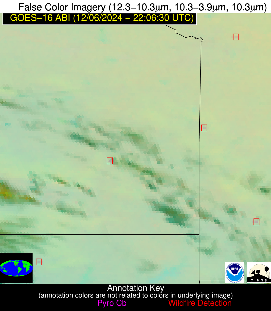
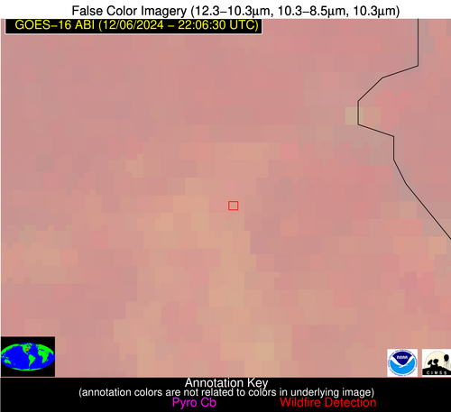
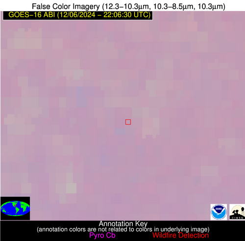
Jan 2026: Due to an ongoing data center cooling system construction project, NGFS data outages may occur with little or no notice. Bitterly cold air in Madison Jan 22-24 increases risk of outages.
Wildfire Alert Report
| Date: | 2024-12-06 |
|---|---|
| Time: | 22:06:17 |
| Production Date and Time: | 2024-12-06 22:10:53 UTC |
| Primary Instrument: | GOES-16 ABI |
| Wmo Spacecraft Id: | 152 |
| Location/orbit: | GEO |
| L1 File: | OR_ABI-L1b-RadC-M6C14_G16_s20243412206175_e20243412208548_c20243412209061.nc |
| L1 File(s) - Temporal | OR_ABI-L1b-RadC-M6C14_G16_s20243412201175_e20243412203548_c20243412204039.nc |
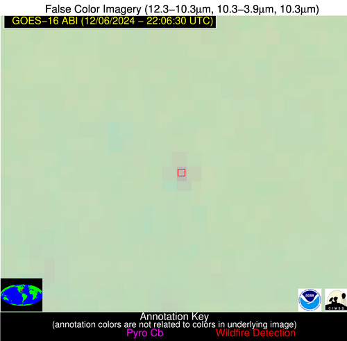
| Number Of Thermal Anomaly Alerts: | 5 |
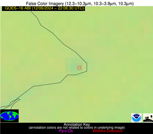
Possible Wildfire
| Basic Information | |
|---|---|
| State/Province(s) | PA |
| Country/Countries | USA |
| County/Locality(s) | Bucks County, PA |
| NWS WFO | Mount Holly NJ |
| Identification Method | Enhanced Contextual (Clear) |
| Mean Object Date/Time | 2024-12-06 22:06:53UTC |
| Radiative Center (Lat, Lon): | 40.150000°, -74.770000° |
| Nearby Counties (meeting alert criteria): |
|
| Total Radiative Power Anomaly | n/a |
| Total Radiative Power | 2.20 MW |
| Map: | |
| Additional Information | |
| Alert Status | New Feature |
| Type of Event | Landfill fire |
| Event Priority Ranking | 5 |
| Maximum Observed BT (3.9 um) | 272.04 K |
| Observed - Background BT (3.9 um) | 3.84 K |
| BT Anomaly (3.9 um) | 5.28 K |
| Maximum Observed - Clear RTM BT (3.9 um) | 1.45 K |
| Maximum Observed BTD (3.9-10/11/12 um) | 2.60 K |
| Observed - Background BTD (3.9-10/11/12 um) | 2.36 K |
| BTD Anomaly (3.9-10/11/12 um) | 9.45 K |
| Similar Pixel Count | 1 |
| BT Time Tendency (3.9 um) | 0.30 K |
| Image Interval | 5.00 minutes |
| Fraction of Surrounding LWIR Pixels that are Colder | 0.88 |
| Fraction of Surrounding Red Channel Pixels that are Brighter | 1.00 |
| Maximum Radiative Power | 2.20 MW |
| Maximum Radiative Power Uncertainty | 0.00 MW |
| Total Radiative Power Uncertainty | 0.00 MW |
| Mean Viewing Angle | 46.70° |
| Mean Solar Zenith Angle | 96.40° |
| Mean Glint Angle | 112.20° |
| Water Fraction | 0.00 |
| Total Pixel Area | 6.40 km2 |
| Latest Satellite Imagery: | |
| View all event imagery » | |
Possible Wildfire
| Basic Information | |
|---|---|
| State/Province(s) | MO |
| Country/Countries | USA |
| County/Locality(s) | Jackson County, MO |
| NWS WFO | Kansas City/Pleasant Hill MO |
| Identification Method | Enhanced Contextual (Clear) |
| Mean Object Date/Time | 2024-12-06 22:06:50UTC |
| Radiative Center (Lat, Lon): | 39.170000°, -94.300000° |
| Nearby Counties (meeting alert criteria): |
|
| Total Radiative Power Anomaly | n/a |
| Total Radiative Power | 4.38 MW |
| Map: | |
| Additional Information | |
| Alert Status | New Feature |
| Type of Event | Nominal Risk |
| Event Priority Ranking | 4 |
| Maximum Observed BT (3.9 um) | 278.48 K |
| Observed - Background BT (3.9 um) | 3.12 K |
| BT Anomaly (3.9 um) | 5.15 K |
| Maximum Observed - Clear RTM BT (3.9 um) | 6.56 K |
| Maximum Observed BTD (3.9-10/11/12 um) | 3.96 K |
| Observed - Background BTD (3.9-10/11/12 um) | 3.12 K |
| BTD Anomaly (3.9-10/11/12 um) | 13.82 K |
| Similar Pixel Count | 1 |
| BT Time Tendency (3.9 um) | 0.10 K |
| Image Interval | 5.00 minutes |
| Fraction of Surrounding LWIR Pixels that are Colder | 0.56 |
| Fraction of Surrounding Red Channel Pixels that are Brighter | 1.00 |
| Maximum Radiative Power | 4.38 MW |
| Maximum Radiative Power Uncertainty | 0.00 MW |
| Total Radiative Power Uncertainty | 0.00 MW |
| Mean Viewing Angle | 49.70° |
| Mean Solar Zenith Angle | 82.90° |
| Mean Glint Angle | 91.30° |
| Water Fraction | 0.00 |
| Total Pixel Area | 7.20 km2 |
| Latest Satellite Imagery: | |
| View all event imagery » | |
Possible Wildfire
| Basic Information | |
|---|---|
| State/Province(s) | MO |
| Country/Countries | USA |
| County/Locality(s) | Scott County, MO |
| NWS WFO | Paducah KY |
| Identification Method | Enhanced Contextual (Clear) |
| Mean Object Date/Time | 2024-12-06 22:06:51UTC |
| Radiative Center (Lat, Lon): | 37.150000°, -89.690000° |
| Nearby Counties (meeting alert criteria): |
|
| Total Radiative Power Anomaly | n/a |
| Total Radiative Power | 4.53 MW |
| Map: | |
| Additional Information | |
| Alert Status | New Feature |
| Type of Event | Nominal Risk |
| Event Priority Ranking | 4 |
| Maximum Observed BT (3.9 um) | 275.69 K |
| Observed - Background BT (3.9 um) | 4.06 K |
| BT Anomaly (3.9 um) | 40.63 K |
| Maximum Observed - Clear RTM BT (3.9 um) | 4.99 K |
| Maximum Observed BTD (3.9-10/11/12 um) | 4.21 K |
| Observed - Background BTD (3.9-10/11/12 um) | 3.90 K |
| BTD Anomaly (3.9-10/11/12 um) | 17.27 K |
| Similar Pixel Count | 1 |
| BT Time Tendency (3.9 um) | 2.20 K |
| Image Interval | 5.00 minutes |
| Fraction of Surrounding LWIR Pixels that are Colder | 0.71 |
| Fraction of Surrounding Red Channel Pixels that are Brighter | 1.00 |
| Maximum Radiative Power | 4.53 MW |
| Maximum Radiative Power Uncertainty | 0.00 MW |
| Total Radiative Power Uncertainty | 0.00 MW |
| Mean Viewing Angle | 45.90° |
| Mean Solar Zenith Angle | 84.70° |
| Mean Glint Angle | 93.60° |
| Water Fraction | 0.00 |
| Total Pixel Area | 6.50 km2 |
| Latest Satellite Imagery: | |
| View all event imagery » | |
Possible Wildfire
| Basic Information | |
|---|---|
| State/Province(s) | OK |
| Country/Countries | USA |
| County/Locality(s) | Washington County, OK |
| NWS WFO | Tulsa OK |
| Identification Method | Enhanced Contextual (Clear) |
| Mean Object Date/Time | 2024-12-06 22:06:50UTC |
| Radiative Center (Lat, Lon): | 36.700000°, -96.000000° |
| Nearby Counties (meeting alert criteria): |
|
| Total Radiative Power Anomaly | n/a |
| Total Radiative Power | 6.14 MW |
| Map: | |
| Additional Information | |
| Alert Status | New Feature |
| Type of Event | Nominal Risk |
| Event Priority Ranking | 4 |
| Maximum Observed BT (3.9 um) | 282.96 K |
| Observed - Background BT (3.9 um) | 4.74 K |
| BT Anomaly (3.9 um) | 5.28 K |
| Maximum Observed - Clear RTM BT (3.9 um) | 7.85 K |
| Maximum Observed BTD (3.9-10/11/12 um) | 5.75 K |
| Observed - Background BTD (3.9-10/11/12 um) | 4.05 K |
| BTD Anomaly (3.9-10/11/12 um) | 5.54 K |
| Similar Pixel Count | 1 |
| BT Time Tendency (3.9 um) | 1.30 K |
| Image Interval | 5.00 minutes |
| Fraction of Surrounding LWIR Pixels that are Colder | 0.82 |
| Fraction of Surrounding Red Channel Pixels that are Brighter | 1.00 |
| Maximum Radiative Power | 6.14 MW |
| Maximum Radiative Power Uncertainty | 0.00 MW |
| Total Radiative Power Uncertainty | 0.00 MW |
| Mean Viewing Angle | 48.10° |
| Mean Solar Zenith Angle | 80.40° |
| Mean Glint Angle | 87.20° |
| Water Fraction | 0.00 |
| Total Pixel Area | 7.00 km2 |
| Latest Satellite Imagery: | |
| View all event imagery » | |
Possible Wildfire
| Basic Information | |
|---|---|
| State/Province(s) | GA |
| Country/Countries | USA |
| County/Locality(s) | Atkinson County, GA |
| NWS WFO | Jacksonville FL |
| Identification Method | Enhanced Contextual (Clear) |
| Mean Object Date/Time | 2024-12-06 22:07:22UTC |
| Radiative Center (Lat, Lon): | 31.220000°, -82.840000° |
| Nearby Counties (meeting alert criteria): |
|
| Total Radiative Power Anomaly | n/a |
| Total Radiative Power | 5.84 MW |
| Map: | |
| Additional Information | |
| Alert Status | New Feature |
| Type of Event | Nominal Risk |
| Event Priority Ranking | 4 |
| Maximum Observed BT (3.9 um) | 283.11 K |
| Observed - Background BT (3.9 um) | 4.45 K |
| BT Anomaly (3.9 um) | 16.77 K |
| Maximum Observed - Clear RTM BT (3.9 um) | 4.96 K |
| Maximum Observed BTD (3.9-10/11/12 um) | 4.81 K |
| Observed - Background BTD (3.9-10/11/12 um) | 4.58 K |
| BTD Anomaly (3.9-10/11/12 um) | 33.49 K |
| Similar Pixel Count | 1 |
| BT Time Tendency (3.9 um) | 0.60 K |
| Image Interval | 5.00 minutes |
| Fraction of Surrounding LWIR Pixels that are Colder | 0.37 |
| Fraction of Surrounding Red Channel Pixels that are Brighter | 1.00 |
| Maximum Radiative Power | 5.84 MW |
| Maximum Radiative Power Uncertainty | 0.00 MW |
| Total Radiative Power Uncertainty | 0.00 MW |
| Mean Viewing Angle | 37.50° |
| Mean Solar Zenith Angle | 86.50° |
| Mean Glint Angle | 95.90° |
| Water Fraction | 0.00 |
| Total Pixel Area | 5.40 km2 |
| Latest Satellite Imagery: | |
| View all event imagery » | |

