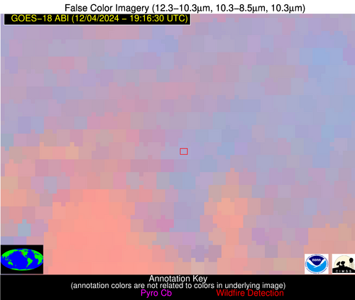
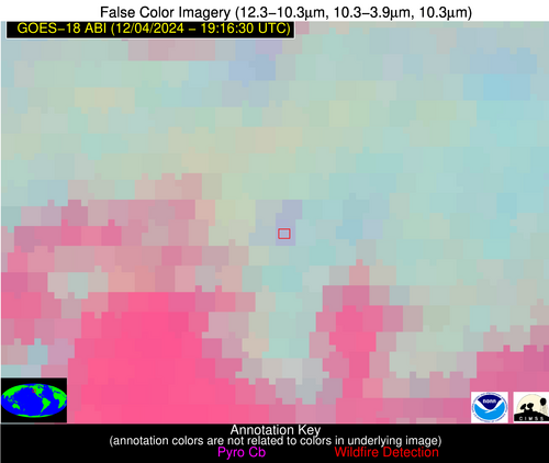
Please consider accessing NGFS detections and satellite imagery through the NOAA/NESDIS Wildland Fire Data Portal: https://fire.data.nesdis.noaa.gov/map/
Wildfire Alert Report
| Date: | 2024-12-04 |
|---|---|
| Time: | 19:16:18 |
| Production Date and Time: | 2024-12-04 19:21:29 UTC |
| Primary Instrument: | GOES-18 ABI |
| Wmo Spacecraft Id: | 665 |
| Location/orbit: | GEO |
| L1 File: | OR_ABI-L1b-RadC-M6C14_G18_s20243391916185_e20243391918558_c20243391919038.nc |
| L1 File(s) - Temporal | OR_ABI-L1b-RadC-M6C14_G18_s20243391911185_e20243391913558_c20243391914068.nc |
| Number Of Thermal Anomaly Alerts: | 3 |
Possible Wildfire
| Basic Information | |
|---|---|
| State/Province(s) | OR |
| Country/Countries | USA |
| County/Locality(s) | Josephine County, OR |
| NWS WFO | Medford OR |
| Identification Method | Enhanced Contextual (Clear) |
| Mean Object Date/Time | 2024-12-04 19:16:53UTC |
| Radiative Center (Lat, Lon): | 42.660000°, -123.260000° |
| Nearby Counties (meeting alert criteria): |
|
| Total Radiative Power Anomaly | n/a |
| Total Radiative Power | 8.07 MW |
| Map: | |
| Additional Information | |
| Alert Status | New Feature |
| Type of Event | Nominal Risk |
| Event Priority Ranking | 4 |
| Maximum Observed BT (3.9 um) | 289.15 K |
| Observed - Background BT (3.9 um) | 4.85 K |
| BT Anomaly (3.9 um) | 3.80 K |
| Maximum Observed - Clear RTM BT (3.9 um) | 5.60 K |
| Maximum Observed BTD (3.9-10/11/12 um) | 5.82 K |
| Observed - Background BTD (3.9-10/11/12 um) | 3.59 K |
| BTD Anomaly (3.9-10/11/12 um) | 5.02 K |
| Similar Pixel Count | 4 |
| BT Time Tendency (3.9 um) | 1.00 K |
| Image Interval | 5.00 minutes |
| Fraction of Surrounding LWIR Pixels that are Colder | 0.96 |
| Fraction of Surrounding Red Channel Pixels that are Brighter | 0.94 |
| Maximum Radiative Power | 8.07 MW |
| Maximum Radiative Power Uncertainty | 0.00 MW |
| Total Radiative Power Uncertainty | 0.00 MW |
| Mean Viewing Angle | 51.40° |
| Mean Solar Zenith Angle | 65.70° |
| Mean Glint Angle | 110.40° |
| Water Fraction | 0.00 |
| Total Pixel Area | 7.40 km2 |
| Latest Satellite Imagery: | |
| View all event imagery » | |
Possible Wildfire
| Basic Information | |
|---|---|
| State/Province(s) | ID |
| Country/Countries | USA |
| County/Locality(s) | Owyhee County, ID |
| NWS WFO | Boise ID |
| Identification Method | Enhanced Contextual (Clear) |
| Mean Object Date/Time | 2024-12-04 19:16:54UTC |
| Radiative Center (Lat, Lon): | 42.610000°, -115.510000° |
| Nearby Counties (meeting alert criteria): |
|
| Total Radiative Power Anomaly | n/a |
| Total Radiative Power | 4.95 MW |
| Map: | |
| Additional Information | |
| Alert Status | New Feature |
| Type of Event | Nominal Risk |
| Event Priority Ranking | 4 |
| Maximum Observed BT (3.9 um) | 294.06 K |
| Observed - Background BT (3.9 um) | 4.91 K |
| BT Anomaly (3.9 um) | 5.11 K |
| Maximum Observed - Clear RTM BT (3.9 um) | 16.44 K |
| Maximum Observed BTD (3.9-10/11/12 um) | 10.63 K |
| Observed - Background BTD (3.9-10/11/12 um) | 3.14 K |
| BTD Anomaly (3.9-10/11/12 um) | 5.77 K |
| Similar Pixel Count | 17 |
| BT Time Tendency (3.9 um) | 0.50 K |
| Image Interval | 5.00 minutes |
| Fraction of Surrounding LWIR Pixels that are Colder | 0.99 |
| Fraction of Surrounding Red Channel Pixels that are Brighter | 1.00 |
| Maximum Radiative Power | 4.95 MW |
| Maximum Radiative Power Uncertainty | 0.00 MW |
| Total Radiative Power Uncertainty | 0.00 MW |
| Mean Viewing Angle | 54.10° |
| Mean Solar Zenith Angle | 64.80° |
| Mean Glint Angle | 110.90° |
| Water Fraction | 0.00 |
| Total Pixel Area | 8.20 km2 |
| Latest Satellite Imagery: | |
| View all event imagery » | |
Possible Wildfire
| Basic Information | |
|---|---|
| State/Province(s) | NV |
| Country/Countries | USA |
| County/Locality(s) | Elko County, NV |
| NWS WFO | Elko NV |
| Identification Method | Enhanced Contextual (Clear) |
| Mean Object Date/Time | 2024-12-04 19:16:54UTC |
| Radiative Center (Lat, Lon): | 40.200000°, -115.490000° |
| Nearby Counties (meeting alert criteria): |
|
| Total Radiative Power Anomaly | n/a |
| Total Radiative Power | 15.59 MW |
| Map: | |
| Additional Information | |
| Alert Status | New Feature |
| Type of Event | Nominal Risk |
| Event Priority Ranking | 4 |
| Maximum Observed BT (3.9 um) | 295.78 K |
| Observed - Background BT (3.9 um) | 6.31 K |
| BT Anomaly (3.9 um) | 3.27 K |
| Maximum Observed - Clear RTM BT (3.9 um) | 16.43 K |
| Maximum Observed BTD (3.9-10/11/12 um) | 13.20 K |
| Observed - Background BTD (3.9-10/11/12 um) | 5.87 K |
| BTD Anomaly (3.9-10/11/12 um) | 5.41 K |
| Similar Pixel Count | 1 |
| BT Time Tendency (3.9 um) | 2.20 K |
| Image Interval | 5.00 minutes |
| Fraction of Surrounding LWIR Pixels that are Colder | 0.74 |
| Fraction of Surrounding Red Channel Pixels that are Brighter | 0.73 |
| Maximum Radiative Power | 15.59 MW |
| Maximum Radiative Power Uncertainty | 0.00 MW |
| Total Radiative Power Uncertainty | 0.00 MW |
| Mean Viewing Angle | 51.80° |
| Mean Solar Zenith Angle | 62.40° |
| Mean Glint Angle | 106.30° |
| Water Fraction | 0.00 |
| Total Pixel Area | 7.70 km2 |
| Latest Satellite Imagery: | |
| View all event imagery » | |


