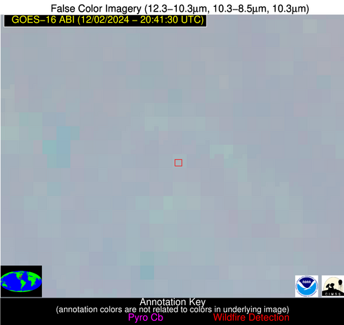
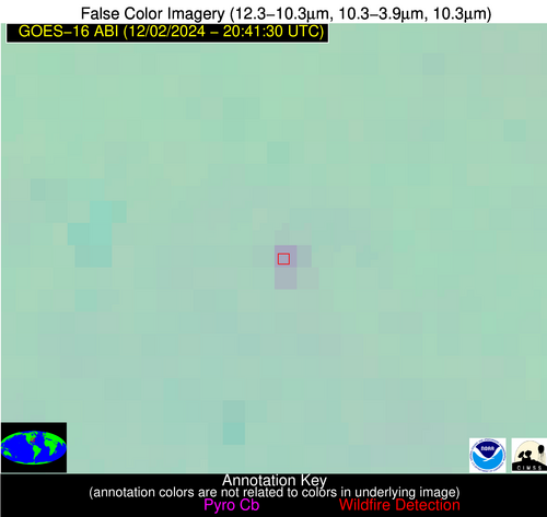
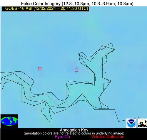
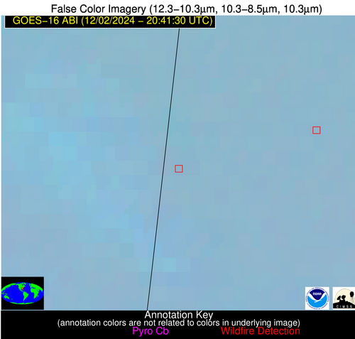
Wildfire Alert Report
| Date: | 2024-12-02 |
|---|---|
| Time: | 20:41:17 |
| Production Date and Time: | 2024-12-02 20:45:55 UTC |
| Primary Instrument: | GOES-16 ABI |
| Wmo Spacecraft Id: | 152 |
| Location/orbit: | GEO |
| L1 File: | OR_ABI-L1b-RadC-M6C14_G16_s20243372041173_e20243372043546_c20243372044056.nc |
| L1 File(s) - Temporal | OR_ABI-L1b-RadC-M6C14_G16_s20243372036173_e20243372038546_c20243372039019.nc |
| Number Of Thermal Anomaly Alerts: | 6 |
Possible Wildfire
| Basic Information | |
|---|---|
| State/Province(s) | SC |
| Country/Countries | USA |
| County/Locality(s) | Darlington County, SC |
| NWS WFO | Wilmington NC |
| Identification Method | Enhanced Contextual (Clear) |
| Mean Object Date/Time | 2024-12-02 20:42:22UTC |
| Radiative Center (Lat, Lon): | 34.390000°, -79.940000° |
| Nearby Counties (meeting alert criteria): |
|
| Total Radiative Power Anomaly | n/a |
| Total Radiative Power | 8.78 MW |
| Map: | |
| Additional Information | |
| Alert Status | New Feature |
| Type of Event | Nominal Risk |
| Event Priority Ranking | 4 |
| Maximum Observed BT (3.9 um) | 287.70 K |
| Observed - Background BT (3.9 um) | 6.65 K |
| BT Anomaly (3.9 um) | 8.98 K |
| Maximum Observed - Clear RTM BT (3.9 um) | 9.74 K |
| Maximum Observed BTD (3.9-10/11/12 um) | 7.98 K |
| Observed - Background BTD (3.9-10/11/12 um) | 6.02 K |
| BTD Anomaly (3.9-10/11/12 um) | 16.70 K |
| Similar Pixel Count | 2 |
| BT Time Tendency (3.9 um) | 1.90 K |
| Image Interval | 5.00 minutes |
| Fraction of Surrounding LWIR Pixels that are Colder | 0.93 |
| Fraction of Surrounding Red Channel Pixels that are Brighter | 0.88 |
| Maximum Radiative Power | 8.78 MW |
| Maximum Radiative Power Uncertainty | 0.00 MW |
| Total Radiative Power Uncertainty | 0.00 MW |
| Mean Viewing Angle | 40.50° |
| Mean Solar Zenith Angle | 75.50° |
| Mean Glint Angle | 98.00° |
| Water Fraction | 0.00 |
| Total Pixel Area | 5.70 km2 |
| Latest Satellite Imagery: | |
| View all event imagery » | |
Possible Wildfire
| Basic Information | |
|---|---|
| State/Province(s) | OK |
| Country/Countries | USA |
| County/Locality(s) | Marshall County, OK |
| NWS WFO | Norman OK |
| Identification Method | Enhanced Contextual (Clear) |
| Mean Object Date/Time | 2024-12-02 20:42:20UTC |
| Radiative Center (Lat, Lon): | 33.980000°, -96.670000° |
| Nearby Counties (meeting alert criteria): |
|
| Total Radiative Power Anomaly | n/a |
| Total Radiative Power | 5.23 MW |
| Map: | |
| Additional Information | |
| Alert Status | New Feature |
| Type of Event | Nominal Risk |
| Event Priority Ranking | 4 |
| Maximum Observed BT (3.9 um) | 293.64 K |
| Observed - Background BT (3.9 um) | 3.00 K |
| BT Anomaly (3.9 um) | 2.15 K |
| Maximum Observed - Clear RTM BT (3.9 um) | 9.01 K |
| Maximum Observed BTD (3.9-10/11/12 um) | 6.44 K |
| Observed - Background BTD (3.9-10/11/12 um) | 2.50 K |
| BTD Anomaly (3.9-10/11/12 um) | 4.52 K |
| Similar Pixel Count | 8 |
| BT Time Tendency (3.9 um) | 0.90 K |
| Image Interval | 5.00 minutes |
| Fraction of Surrounding LWIR Pixels that are Colder | 0.68 |
| Fraction of Surrounding Red Channel Pixels that are Brighter | 0.95 |
| Maximum Radiative Power | 5.23 MW |
| Maximum Radiative Power Uncertainty | 0.00 MW |
| Total Radiative Power Uncertainty | 0.00 MW |
| Mean Viewing Angle | 45.90° |
| Mean Solar Zenith Angle | 65.60° |
| Mean Glint Angle | 85.00° |
| Water Fraction | 0.00 |
| Total Pixel Area | 6.60 km2 |
| Latest Satellite Imagery: | |
| View all event imagery » | |
Possible Wildfire
| Basic Information | |
|---|---|
| State/Province(s) | AL |
| Country/Countries | USA |
| County/Locality(s) | Pickens County, AL |
| NWS WFO | Birmingham AL |
| Identification Method | Enhanced Contextual (Clear) |
| Mean Object Date/Time | 2024-12-02 20:42:21UTC |
| Radiative Center (Lat, Lon): | 33.170000°, -88.290000° |
| Nearby Counties (meeting alert criteria): |
|
| Total Radiative Power Anomaly | n/a |
| Total Radiative Power | 27.69 MW |
| Map: | |
| Additional Information | |
| Alert Status | New Feature |
| Type of Event | Nominal Risk |
| Event Priority Ranking | 4 |
| Maximum Observed BT (3.9 um) | 292.34 K |
| Observed - Background BT (3.9 um) | 7.20 K |
| BT Anomaly (3.9 um) | 5.59 K |
| Maximum Observed - Clear RTM BT (3.9 um) | 12.26 K |
| Maximum Observed BTD (3.9-10/11/12 um) | 10.68 K |
| Observed - Background BTD (3.9-10/11/12 um) | 7.78 K |
| BTD Anomaly (3.9-10/11/12 um) | 15.28 K |
| Similar Pixel Count | 2 |
| BT Time Tendency (3.9 um) | 2.60 K |
| Image Interval | 5.00 minutes |
| Fraction of Surrounding LWIR Pixels that are Colder | 0.28 |
| Fraction of Surrounding Red Channel Pixels that are Brighter | 1.00 |
| Maximum Radiative Power | 14.70 MW |
| Maximum Radiative Power Uncertainty | 0.00 MW |
| Total Radiative Power Uncertainty | 0.00 MW |
| Mean Viewing Angle | 41.30° |
| Mean Solar Zenith Angle | 69.60° |
| Mean Glint Angle | 88.70° |
| Water Fraction | 0.00 |
| Total Pixel Area | 11.70 km2 |
| Latest Satellite Imagery: | |
| View all event imagery » | |
Possible Wildfire
| Basic Information | |
|---|---|
| State/Province(s) | AL |
| Country/Countries | USA |
| County/Locality(s) | Bullock County, AL |
| NWS WFO | Birmingham AL |
| Identification Method | Enhanced Contextual (Clear) |
| Mean Object Date/Time | 2024-12-02 20:42:21UTC |
| Radiative Center (Lat, Lon): | 32.220000°, -85.670000° |
| Nearby Counties (meeting alert criteria): |
|
| Total Radiative Power Anomaly | n/a |
| Total Radiative Power | 8.32 MW |
| Map: | |
| Additional Information | |
| Alert Status | New Feature |
| Type of Event | Nominal Risk |
| Event Priority Ranking | 4 |
| Maximum Observed BT (3.9 um) | 290.27 K |
| Observed - Background BT (3.9 um) | 5.57 K |
| BT Anomaly (3.9 um) | 15.13 K |
| Maximum Observed - Clear RTM BT (3.9 um) | 10.10 K |
| Maximum Observed BTD (3.9-10/11/12 um) | 7.13 K |
| Observed - Background BTD (3.9-10/11/12 um) | 5.08 K |
| BTD Anomaly (3.9-10/11/12 um) | 19.70 K |
| Similar Pixel Count | 1 |
| BT Time Tendency (3.9 um) | 3.60 K |
| Image Interval | 5.00 minutes |
| Fraction of Surrounding LWIR Pixels that are Colder | 0.92 |
| Fraction of Surrounding Red Channel Pixels that are Brighter | 1.00 |
| Maximum Radiative Power | 8.32 MW |
| Maximum Radiative Power Uncertainty | 0.00 MW |
| Total Radiative Power Uncertainty | 0.00 MW |
| Mean Viewing Angle | 39.40° |
| Mean Solar Zenith Angle | 70.50° |
| Mean Glint Angle | 89.40° |
| Water Fraction | 0.00 |
| Total Pixel Area | 5.60 km2 |
| Latest Satellite Imagery: | |
| View all event imagery » | |
Possible Wildfire
| Basic Information | |
|---|---|
| State/Province(s) | TX |
| Country/Countries | USA |
| County/Locality(s) | Montgomery County, TX |
| NWS WFO | Houston/Galveston TX |
| Identification Method | Enhanced Contextual (Cloud) |
| Mean Object Date/Time | 2024-12-02 20:42:50UTC |
| Radiative Center (Lat, Lon): | 30.260000°, -95.330000° |
| Nearby Counties (meeting alert criteria): |
|
| Total Radiative Power Anomaly | n/a |
| Total Radiative Power | 50.17 MW |
| Map: | |
| Additional Information | |
| Alert Status | New Feature |
| Type of Event | Nominal Risk |
| Event Priority Ranking | 4 |
| Maximum Observed BT (3.9 um) | 303.88 K |
| Observed - Background BT (3.9 um) | 16.60 K |
| BT Anomaly (3.9 um) | 16.18 K |
| Maximum Observed - Clear RTM BT (3.9 um) | 16.84 K |
| Maximum Observed BTD (3.9-10/11/12 um) | 26.64 K |
| Observed - Background BTD (3.9-10/11/12 um) | 16.37 K |
| BTD Anomaly (3.9-10/11/12 um) | 14.40 K |
| Similar Pixel Count | 0 |
| BT Time Tendency (3.9 um) | 16.90 K |
| Image Interval | 5.00 minutes |
| Fraction of Surrounding LWIR Pixels that are Colder | 0.65 |
| Fraction of Surrounding Red Channel Pixels that are Brighter | 0.99 |
| Maximum Radiative Power | 50.17 MW |
| Maximum Radiative Power Uncertainty | 0.00 MW |
| Total Radiative Power Uncertainty | 0.00 MW |
| Mean Viewing Angle | 41.80° |
| Mean Solar Zenith Angle | 63.40° |
| Mean Glint Angle | 79.40° |
| Water Fraction | 0.00 |
| Total Pixel Area | 6.00 km2 |
| Latest Satellite Imagery: | |
| View all event imagery » | |
Possible Wildfire
| Basic Information | |
|---|---|
| State/Province(s) | FL |
| Country/Countries | USA |
| County/Locality(s) | Highlands County, FL |
| NWS WFO | Tampa Bay Ruskin FL |
| Identification Method | Enhanced Contextual (Clear) |
| Mean Object Date/Time | 2024-12-02 20:42:52UTC |
| Radiative Center (Lat, Lon): | 27.280000°, -81.390000° |
| Nearby Counties (meeting alert criteria): |
|
| Total Radiative Power Anomaly | n/a |
| Total Radiative Power | 9.89 MW |
| Map: | |
| Additional Information | |
| Alert Status | New Feature |
| Type of Event | Nominal Risk |
| Event Priority Ranking | 4 |
| Maximum Observed BT (3.9 um) | 295.53 K |
| Observed - Background BT (3.9 um) | 4.09 K |
| BT Anomaly (3.9 um) | 4.41 K |
| Maximum Observed - Clear RTM BT (3.9 um) | 8.86 K |
| Maximum Observed BTD (3.9-10/11/12 um) | 5.07 K |
| Observed - Background BTD (3.9-10/11/12 um) | 3.11 K |
| BTD Anomaly (3.9-10/11/12 um) | 9.69 K |
| Similar Pixel Count | 3 |
| BT Time Tendency (3.9 um) | 0.80 K |
| Image Interval | 5.00 minutes |
| Fraction of Surrounding LWIR Pixels that are Colder | 0.88 |
| Fraction of Surrounding Red Channel Pixels that are Brighter | 0.95 |
| Maximum Radiative Power | 9.89 MW |
| Maximum Radiative Power Uncertainty | 0.00 MW |
| Total Radiative Power Uncertainty | 0.00 MW |
| Mean Viewing Angle | 32.70° |
| Mean Solar Zenith Angle | 70.00° |
| Mean Glint Angle | 86.30° |
| Water Fraction | 0.00 |
| Total Pixel Area | 10.10 km2 |
| Latest Satellite Imagery: | |
| View all event imagery » | |
