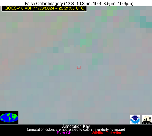
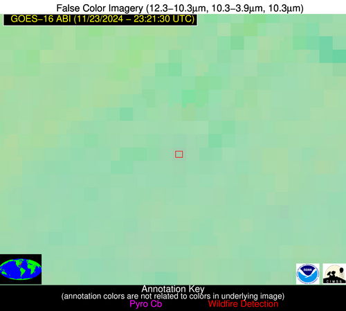
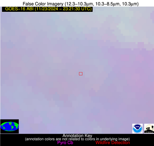
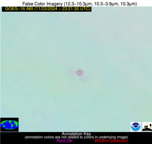
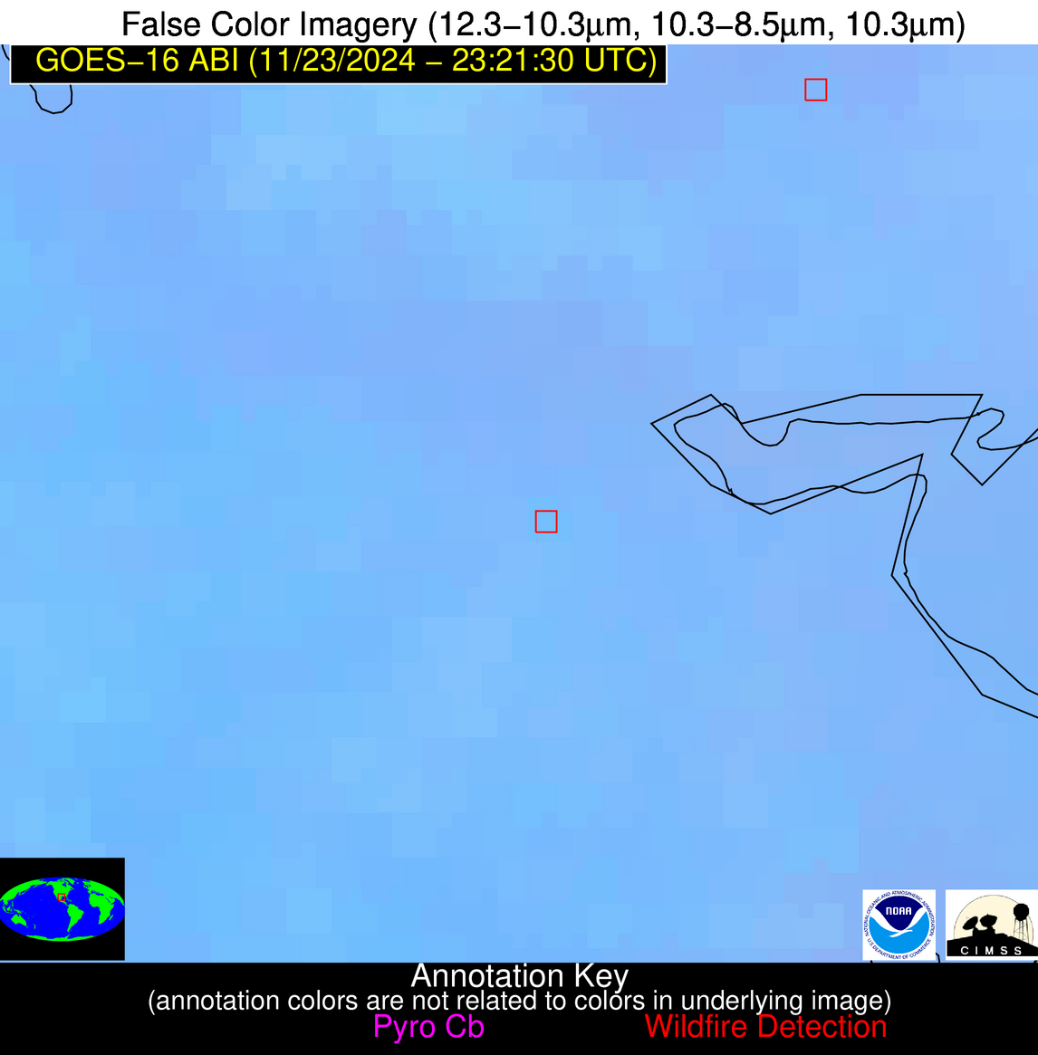
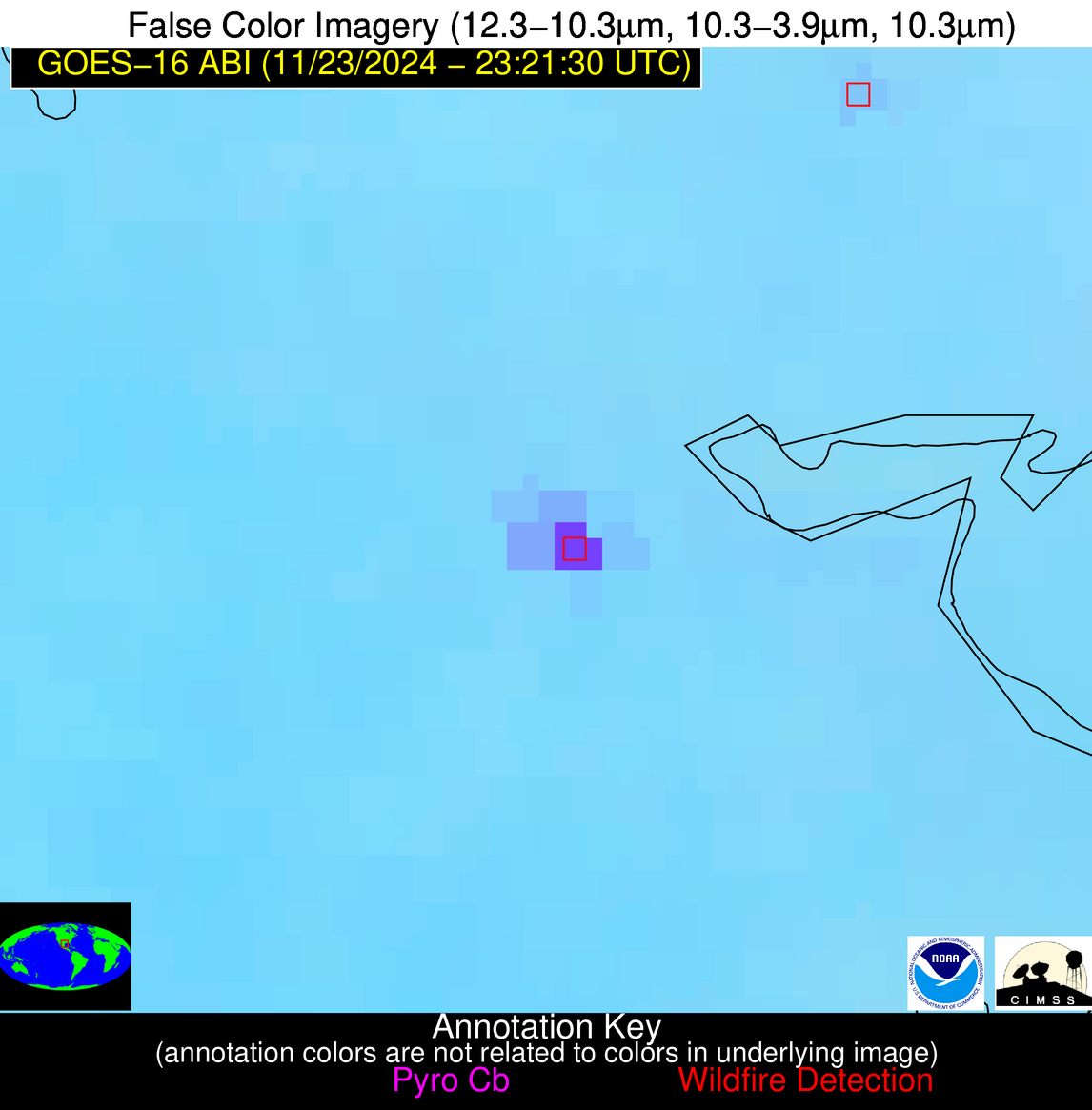
Wildfire Alert Report
| Date: | 2024-11-23 |
|---|---|
| Time: | 23:21:17 |
| Production Date and Time: | 2024-11-23 23:25:55 UTC |
| Primary Instrument: | GOES-16 ABI |
| Wmo Spacecraft Id: | 152 |
| Location/orbit: | GEO |
| L1 File: | OR_ABI-L1b-RadC-M6C14_G16_s20243282321170_e20243282323543_c20243282324060.nc |
| L1 File(s) - Temporal | OR_ABI-L1b-RadC-M6C14_G16_s20243282316170_e20243282318542_c20243282319038.nc |
| Number Of Thermal Anomaly Alerts: | 3 |
Possible Wildfire
| Basic Information | |
|---|---|
| State/Province(s) | VA |
| Country/Countries | USA |
| County/Locality(s) | Greene County, VA |
| NWS WFO | Baltimore MD/Washington DC |
| Identification Method | Enhanced Contextual (Clear) |
| Mean Object Date/Time | 2024-11-23 23:21:52UTC |
| Radiative Center (Lat, Lon): | 38.230000°, -78.410000° |
| Nearby Counties (meeting alert criteria): |
|
| Total Radiative Power Anomaly | n/a |
| Total Radiative Power | 1.92 MW |
| Map: | |
| Additional Information | |
| Alert Status | New Feature |
| Type of Event | Nominal Risk |
| Event Priority Ranking | 4 |
| Maximum Observed BT (3.9 um) | 279.13 K |
| Observed - Background BT (3.9 um) | 2.07 K |
| BT Anomaly (3.9 um) | 2.62 K |
| Maximum Observed - Clear RTM BT (3.9 um) | 2.27 K |
| Maximum Observed BTD (3.9-10/11/12 um) | 2.65 K |
| Observed - Background BTD (3.9-10/11/12 um) | 1.51 K |
| BTD Anomaly (3.9-10/11/12 um) | 6.11 K |
| Similar Pixel Count | 1 |
| BT Time Tendency (3.9 um) | 0.70 K |
| Image Interval | 5.00 minutes |
| Fraction of Surrounding LWIR Pixels that are Colder | 0.75 |
| Fraction of Surrounding Red Channel Pixels that are Brighter | 1.00 |
| Maximum Radiative Power | 1.92 MW |
| Maximum Radiative Power Uncertainty | 0.00 MW |
| Total Radiative Power Uncertainty | 0.00 MW |
| Mean Viewing Angle | 44.60° |
| Mean Solar Zenith Angle | 106.40° |
| Mean Glint Angle | 107.10° |
| Water Fraction | 0.00 |
| Total Pixel Area | 6.10 km2 |
| Latest Satellite Imagery: | |
| View all event imagery » | |
Possible Wildfire
| Basic Information | |
|---|---|
| State/Province(s) | AZ |
| Country/Countries | USA |
| County/Locality(s) | Navajo County, AZ |
| NWS WFO | Flagstaff AZ |
| Identification Method | Enhanced Contextual (Clear) |
| Mean Object Date/Time | 2024-11-23 23:22:18UTC |
| Radiative Center (Lat, Lon): | 34.300000°, -110.200000° |
| Nearby Counties (meeting alert criteria): |
|
| Total Radiative Power Anomaly | n/a |
| Total Radiative Power | 7.50 MW |
| Map: | |
| Additional Information | |
| Alert Status | New Feature |
| Type of Event | Nominal Risk |
| Event Priority Ranking | 4 |
| Maximum Observed BT (3.9 um) | 287.44 K |
| Observed - Background BT (3.9 um) | 3.13 K |
| BT Anomaly (3.9 um) | 5.07 K |
| Maximum Observed - Clear RTM BT (3.9 um) | 8.31 K |
| Maximum Observed BTD (3.9-10/11/12 um) | 4.36 K |
| Observed - Background BTD (3.9-10/11/12 um) | 3.70 K |
| BTD Anomaly (3.9-10/11/12 um) | 24.33 K |
| Similar Pixel Count | 1 |
| BT Time Tendency (3.9 um) | 1.50 K |
| Image Interval | 5.00 minutes |
| Fraction of Surrounding LWIR Pixels that are Colder | 0.20 |
| Fraction of Surrounding Red Channel Pixels that are Brighter | 1.00 |
| Maximum Radiative Power | 7.50 MW |
| Maximum Radiative Power Uncertainty | 0.00 MW |
| Total Radiative Power Uncertainty | 0.00 MW |
| Mean Viewing Angle | 54.80° |
| Mean Solar Zenith Angle | 81.30° |
| Mean Glint Angle | 69.30° |
| Water Fraction | 0.00 |
| Total Pixel Area | 9.00 km2 |
| Latest Satellite Imagery: | |
| View all event imagery » | |
Possible Wildfire
| Basic Information | |
|---|---|
| State/Province(s) | TX |
| Country/Countries | USA |
| County/Locality(s) | Nueces County, TX |
| NWS WFO | Corpus Christi TX |
| Identification Method | Enhanced Contextual (Cloud) |
| Mean Object Date/Time | 2024-11-23 23:22:50UTC |
| Radiative Center (Lat, Lon): | 27.810000°, -97.590000° |
| Nearby Counties (meeting alert criteria): |
|
| Total Radiative Power Anomaly | n/a |
| Total Radiative Power | 69.22 MW |
| Map: | |
| Additional Information | |
| Alert Status | New Feature |
| Type of Event | Oil/gas |
| Event Priority Ranking | 5 |
| Maximum Observed BT (3.9 um) | 314.46 K |
| Observed - Background BT (3.9 um) | 21.52 K |
| BT Anomaly (3.9 um) | 38.56 K |
| Maximum Observed - Clear RTM BT (3.9 um) | 24.33 K |
| Maximum Observed BTD (3.9-10/11/12 um) | 23.16 K |
| Observed - Background BTD (3.9-10/11/12 um) | 21.04 K |
| BTD Anomaly (3.9-10/11/12 um) | 73.34 K |
| Similar Pixel Count | 0 |
| BT Time Tendency (3.9 um) | 20.90 K |
| Image Interval | 5.00 minutes |
| Fraction of Surrounding LWIR Pixels that are Colder | 0.88 |
| Fraction of Surrounding Red Channel Pixels that are Brighter | 0.82 |
| Maximum Radiative Power | 69.22 MW |
| Maximum Radiative Power Uncertainty | 0.00 MW |
| Total Radiative Power Uncertainty | 0.00 MW |
| Mean Viewing Angle | 41.00° |
| Mean Solar Zenith Angle | 87.90° |
| Mean Glint Angle | 77.20° |
| Water Fraction | 0.00 |
| Total Pixel Area | 5.90 km2 |
| Latest Satellite Imagery: | |
| View all event imagery » | |
