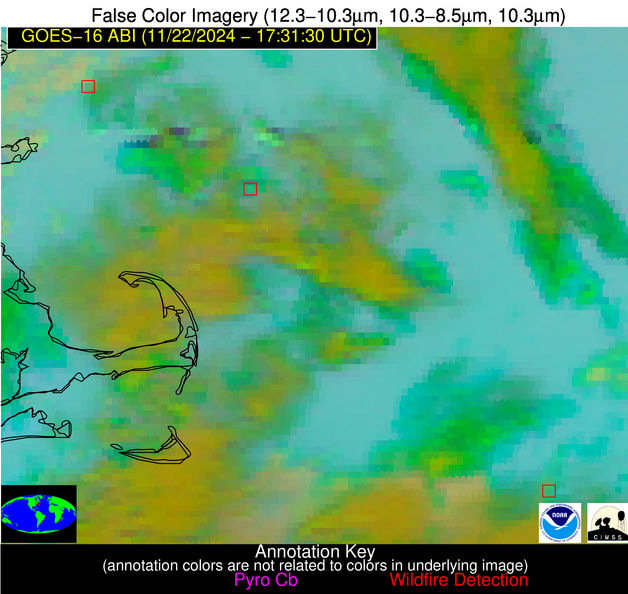
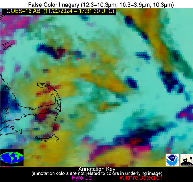
Jan 2026: Due to an ongoing data center cooling system construction project, NGFS data outages may occur with little or no notice.
Wildfire Alert Report
| Date: | 2024-11-22 |
|---|---|
| Time: | 17:31:16 |
| Production Date and Time: | 2024-11-22 17:36:42 UTC |
| Primary Instrument: | GOES-16 ABI |
| Wmo Spacecraft Id: | 152 |
| Location/orbit: | GEO |
| L1 File: | OR_ABI-L1b-RadC-M6C14_G16_s20243271731169_e20243271733542_c20243271734060.nc |
| L1 File(s) - Temporal | OR_ABI-L1b-RadC-M6C14_G16_s20243271726169_e20243271728542_c20243271729053.nc |
| Number Of Thermal Anomaly Alerts: | 10 |
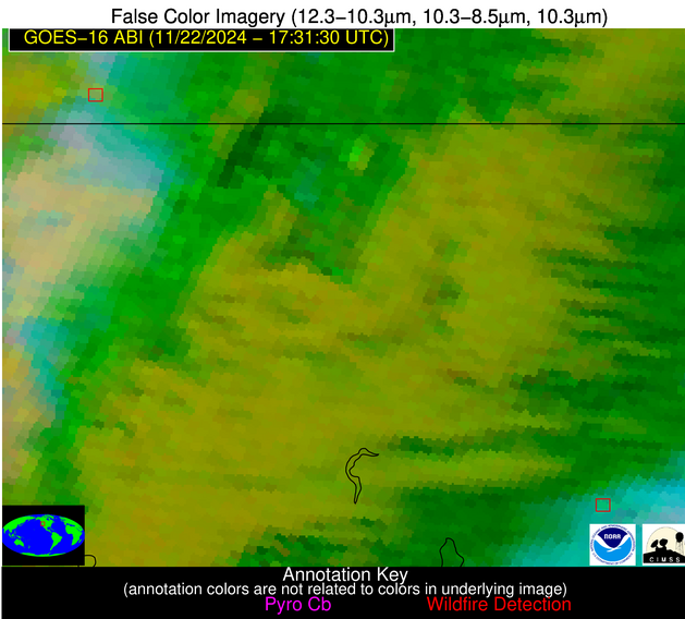
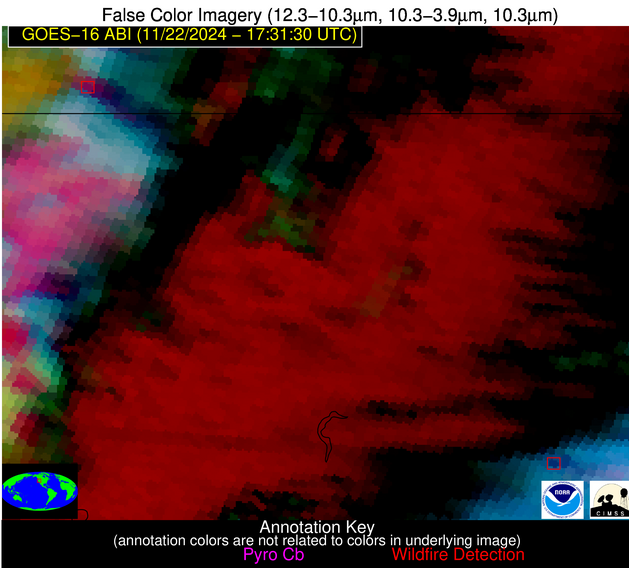
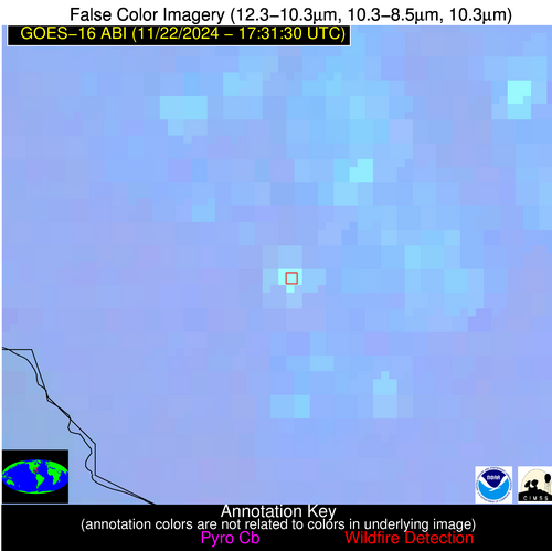
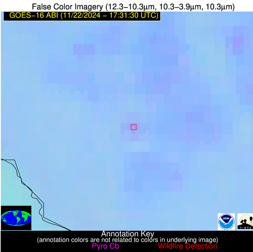
Possible Wildfire
| Basic Information | |
|---|---|
| State/Province(s) | Unknown |
| Country/Countries | Unknown |
| County/Locality(s) | Unknown |
| NWS WFO | N/A |
| Identification Method | Enhanced Contextual (Cloud) |
| Mean Object Date/Time | 2024-11-22 17:31:22UTC |
| Radiative Center (Lat, Lon): | 42.920000°, -70.370000° |
| Nearby Counties (meeting alert criteria): |
|
| Total Radiative Power Anomaly | n/a |
| Total Radiative Power | 33.34 MW |
| Map: | |
| Additional Information | |
| Alert Status | New Feature |
| Type of Event | Nominal Risk |
| Event Priority Ranking | 4 |
| Maximum Observed BT (3.9 um) | 288.35 K |
| Observed - Background BT (3.9 um) | 12.39 K |
| BT Anomaly (3.9 um) | 11.31 K |
| Maximum Observed - Clear RTM BT (3.9 um) | 8.11 K |
| Maximum Observed BTD (3.9-10/11/12 um) | 25.37 K |
| Observed - Background BTD (3.9-10/11/12 um) | 12.57 K |
| BTD Anomaly (3.9-10/11/12 um) | 10.66 K |
| Similar Pixel Count | 0 |
| BT Time Tendency (3.9 um) | -2.00 K |
| Image Interval | 5.00 minutes |
| Fraction of Surrounding LWIR Pixels that are Colder | 0.08 |
| Fraction of Surrounding Red Channel Pixels that are Brighter | 1.00 |
| Maximum Radiative Power | 33.34 MW |
| Maximum Radiative Power Uncertainty | 0.00 MW |
| Total Radiative Power Uncertainty | 0.00 MW |
| Mean Viewing Angle | 50.00° |
| Mean Solar Zenith Angle | 64.70° |
| Mean Glint Angle | 114.10° |
| Water Fraction | 1.00 |
| Total Pixel Area | 6.90 km2 |
| Latest Satellite Imagery: | |
| View all event imagery » | |
Possible Wildfire
| Basic Information | |
|---|---|
| State/Province(s) | Unknown |
| Country/Countries | Unknown |
| County/Locality(s) | Unknown |
| NWS WFO | N/A |
| Identification Method | Enhanced Contextual (Cloud) |
| Mean Object Date/Time | 2024-11-22 17:31:52UTC |
| Radiative Center (Lat, Lon): | 41.110000°, -68.500000° |
| Nearby Counties (meeting alert criteria): |
|
| Total Radiative Power Anomaly | n/a |
| Total Radiative Power | 36.25 MW |
| Map: | |
| Additional Information | |
| Alert Status | New Feature |
| Type of Event | Nominal Risk |
| Event Priority Ranking | 4 |
| Maximum Observed BT (3.9 um) | 286.63 K |
| Observed - Background BT (3.9 um) | 11.81 K |
| BT Anomaly (3.9 um) | 10.34 K |
| Maximum Observed - Clear RTM BT (3.9 um) | 4.62 K |
| Maximum Observed BTD (3.9-10/11/12 um) | 25.00 K |
| Observed - Background BTD (3.9-10/11/12 um) | 11.42 K |
| BTD Anomaly (3.9-10/11/12 um) | 10.31 K |
| Similar Pixel Count | 0 |
| BT Time Tendency (3.9 um) | -0.60 K |
| Image Interval | 5.00 minutes |
| Fraction of Surrounding LWIR Pixels that are Colder | 0.44 |
| Fraction of Surrounding Red Channel Pixels that are Brighter | 1.00 |
| Maximum Radiative Power | 36.25 MW |
| Maximum Radiative Power Uncertainty | 0.00 MW |
| Total Radiative Power Uncertainty | 0.00 MW |
| Mean Viewing Angle | 48.20° |
| Mean Solar Zenith Angle | 63.30° |
| Mean Glint Angle | 111.10° |
| Water Fraction | 1.00 |
| Total Pixel Area | 6.70 km2 |
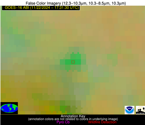
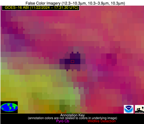
| Latest Satellite Imagery: | |
| View all event imagery » | |
Possible Wildfire
| Basic Information | |
|---|---|
| State/Province(s) | OH |
| Country/Countries | USA |
| County/Locality(s) | Morrow County, OH |
| NWS WFO | Cleveland OH |
| Identification Method | Enhanced Contextual (Cloud) |
| Mean Object Date/Time | 2024-11-22 17:31:51UTC |
| Radiative Center (Lat, Lon): | 40.590000°, -82.690000° |
| Nearby Counties (meeting alert criteria): |
|
| Total Radiative Power Anomaly | n/a |
| Total Radiative Power | 210.88 MW |
| Map: | |
| Additional Information | |
| Alert Status | New Feature |
| Type of Event | Nominal Risk |
| Event Priority Ranking | 4 |
| Maximum Observed BT (3.9 um) | 293.38 K |
| Observed - Background BT (3.9 um) | 29.15 K |
| BT Anomaly (3.9 um) | 9.42 K |
| Maximum Observed - Clear RTM BT (3.9 um) | 21.02 K |
| Maximum Observed BTD (3.9-10/11/12 um) | 40.38 K |
| Observed - Background BTD (3.9-10/11/12 um) | 30.25 K |
| BTD Anomaly (3.9-10/11/12 um) | 16.62 K |
| Similar Pixel Count | 0 |
| BT Time Tendency (3.9 um) | 13.20 K |
| Image Interval | 5.00 minutes |
| Fraction of Surrounding LWIR Pixels that are Colder | 0.06 |
| Fraction of Surrounding Red Channel Pixels that are Brighter | 1.00 |
| Maximum Radiative Power | 119.76 MW |
| Maximum Radiative Power Uncertainty | 0.00 MW |
| Total Radiative Power Uncertainty | 0.00 MW |
| Mean Viewing Angle | 47.80° |
| Mean Solar Zenith Angle | 60.70° |
| Mean Glint Angle | 107.20° |
| Water Fraction | 0.00 |
| Total Pixel Area | 13.20 km2 |
| Latest Satellite Imagery: | |
| View all event imagery » | |
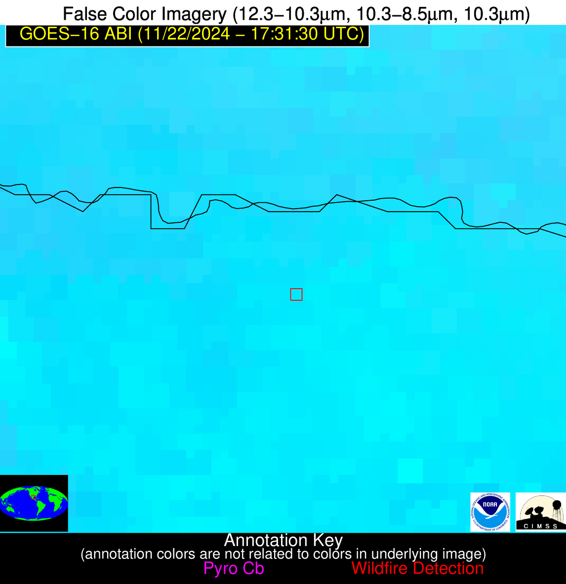
Possible Wildfire
| Basic Information | |
|---|---|
| State/Province(s) | OR |
| Country/Countries | USA |
| County/Locality(s) | Harney County, OR |
| NWS WFO | Boise ID |
| Identification Method | Enhanced Contextual (Cloud) |
| Mean Object Date/Time | 2024-11-22 17:31:47UTC |
| Radiative Center (Lat, Lon): | 42.110000°, -119.280000° |
| Nearby Counties (meeting alert criteria): |
|
| Total Radiative Power Anomaly | n/a |
| Total Radiative Power | 83.29 MW |
| Map: | |
| Additional Information | |
| Alert Status | New Feature |
| Type of Event | Nominal Risk |
| Event Priority Ranking | 4 |
| Maximum Observed BT (3.9 um) | 288.16 K |
| Observed - Background BT (3.9 um) | 14.29 K |
| BT Anomaly (3.9 um) | 7.36 K |
| Maximum Observed - Clear RTM BT (3.9 um) | 12.73 K |
| Maximum Observed BTD (3.9-10/11/12 um) | 30.93 K |
| Observed - Background BTD (3.9-10/11/12 um) | 14.56 K |
| BTD Anomaly (3.9-10/11/12 um) | 12.68 K |
| Similar Pixel Count | 0 |
| BT Time Tendency (3.9 um) | 2.20 K |
| Image Interval | 5.00 minutes |
| Fraction of Surrounding LWIR Pixels that are Colder | 0.68 |
| Fraction of Surrounding Red Channel Pixels that are Brighter | 1.00 |
| Maximum Radiative Power | 83.29 MW |
| Maximum Radiative Power Uncertainty | 0.00 MW |
| Total Radiative Power Uncertainty | 0.00 MW |
| Mean Viewing Angle | 66.20° |
| Mean Solar Zenith Angle | 69.30° |
| Mean Glint Angle | 130.50° |
| Water Fraction | 0.00 |
| Total Pixel Area | 16.40 km2 |
| Latest Satellite Imagery: | |
| View all event imagery » | |
Possible Wildfire
| Basic Information | |
|---|---|
| State/Province(s) | NV |
| Country/Countries | USA |
| County/Locality(s) | Pershing County, NV |
| NWS WFO | Reno NV |
| Identification Method | Enhanced Contextual (Cloud) |
| Mean Object Date/Time | 2024-11-22 17:31:47UTC |
| Radiative Center (Lat, Lon): | 40.500000°, -117.370000° |
| Nearby Counties (meeting alert criteria): |
|
| Total Radiative Power Anomaly | n/a |
| Total Radiative Power | 23.73 MW |
| Map: | |
| Additional Information | |
| Alert Status | New Feature |
| Type of Event | Nominal Risk |
| Event Priority Ranking | 4 |
| Maximum Observed BT (3.9 um) | 289.36 K |
| Observed - Background BT (3.9 um) | 6.02 K |
| BT Anomaly (3.9 um) | 6.75 K |
| Maximum Observed - Clear RTM BT (3.9 um) | 10.04 K |
| Maximum Observed BTD (3.9-10/11/12 um) | 32.09 K |
| Observed - Background BTD (3.9-10/11/12 um) | 5.94 K |
| BTD Anomaly (3.9-10/11/12 um) | 12.37 K |
| Similar Pixel Count | 0 |
| BT Time Tendency (3.9 um) | -0.20 K |
| Image Interval | 5.00 minutes |
| Fraction of Surrounding LWIR Pixels that are Colder | 0.50 |
| Fraction of Surrounding Red Channel Pixels that are Brighter | 1.00 |
| Maximum Radiative Power | 23.73 MW |
| Maximum Radiative Power Uncertainty | 0.00 MW |
| Total Radiative Power Uncertainty | 0.00 MW |
| Mean Viewing Angle | 63.90° |
| Mean Solar Zenith Angle | 67.10° |
| Mean Glint Angle | 126.40° |
| Water Fraction | 0.00 |
| Total Pixel Area | 14.20 km2 |
| Latest Satellite Imagery: | |
| View all event imagery » | |
Possible Wildfire
| Basic Information | |
|---|---|
| State/Province(s) | GA |
| Country/Countries | USA |
| County/Locality(s) | Elbert County, GA |
| NWS WFO | Greenville-Spartanburg SC |
| Identification Method | Enhanced Contextual (Clear) |
| Mean Object Date/Time | 2024-11-22 17:32:21UTC |
| Radiative Center (Lat, Lon): | 34.110000°, -83.010000° |
| Nearby Counties (meeting alert criteria): |
|
| Total Radiative Power Anomaly | n/a |
| Total Radiative Power | 6.21 MW |
| Map: | |
| Additional Information | |
| Alert Status | New Feature |
| Type of Event | Nominal Risk |
| Event Priority Ranking | 4 |
| Maximum Observed BT (3.9 um) | 293.64 K |
| Observed - Background BT (3.9 um) | 4.10 K |
| BT Anomaly (3.9 um) | 3.79 K |
| Maximum Observed - Clear RTM BT (3.9 um) | 11.43 K |
| Maximum Observed BTD (3.9-10/11/12 um) | 8.37 K |
| Observed - Background BTD (3.9-10/11/12 um) | 3.42 K |
| BTD Anomaly (3.9-10/11/12 um) | 6.40 K |
| Similar Pixel Count | 2 |
| BT Time Tendency (3.9 um) | 2.40 K |
| Image Interval | 5.00 minutes |
| Fraction of Surrounding LWIR Pixels that are Colder | 0.86 |
| Fraction of Surrounding Red Channel Pixels that are Brighter | 1.00 |
| Maximum Radiative Power | 6.21 MW |
| Maximum Radiative Power Uncertainty | 0.00 MW |
| Total Radiative Power Uncertainty | 0.00 MW |
| Mean Viewing Angle | 40.70° |
| Mean Solar Zenith Angle | 54.30° |
| Mean Glint Angle | 93.50° |
| Water Fraction | 0.00 |
| Total Pixel Area | 5.70 km2 |
| Latest Satellite Imagery: | |
| View all event imagery » | |
Possible Wildfire
| Basic Information | |
|---|---|
| State/Province(s) | TX |
| Country/Countries | USA |
| County/Locality(s) | Nacogdoches County, TX |
| NWS WFO | Shreveport LA |
| Identification Method | Enhanced Contextual (Clear) |
| Mean Object Date/Time | 2024-11-22 17:32:19UTC |
| Radiative Center (Lat, Lon): | 31.590000°, -94.440000° |
| Nearby Counties (meeting alert criteria): |
|
| Total Radiative Power Anomaly | n/a |
| Total Radiative Power | 7.78 MW |
| Map: | |
| Additional Information | |
| Alert Status | New Feature |
| Type of Event | Nominal Risk |
| Event Priority Ranking | 4 |
| Maximum Observed BT (3.9 um) | 295.58 K |
| Observed - Background BT (3.9 um) | 2.91 K |
| BT Anomaly (3.9 um) | 2.34 K |
| Maximum Observed - Clear RTM BT (3.9 um) | 7.73 K |
| Maximum Observed BTD (3.9-10/11/12 um) | 7.62 K |
| Observed - Background BTD (3.9-10/11/12 um) | 3.27 K |
| BTD Anomaly (3.9-10/11/12 um) | 6.45 K |
| Similar Pixel Count | 6 |
| BT Time Tendency (3.9 um) | 0.90 K |
| Image Interval | 5.00 minutes |
| Fraction of Surrounding LWIR Pixels that are Colder | 0.40 |
| Fraction of Surrounding Red Channel Pixels that are Brighter | 1.00 |
| Maximum Radiative Power | 7.78 MW |
| Maximum Radiative Power Uncertainty | 0.00 MW |
| Total Radiative Power Uncertainty | 0.00 MW |
| Mean Viewing Angle | 42.50° |
| Mean Solar Zenith Angle | 52.20° |
| Mean Glint Angle | 92.10° |
| Water Fraction | 0.00 |
| Total Pixel Area | 6.10 km2 |
| Latest Satellite Imagery: | |
| View all event imagery » | |
Possible Wildfire
| Basic Information | |
|---|---|
| State/Province(s) | LA |
| Country/Countries | USA |
| County/Locality(s) | Iberville Parish, LA |
| NWS WFO | New Orleans LA |
| Identification Method | Enhanced Contextual (Clear) |
| Mean Object Date/Time | 2024-11-22 17:32:19UTC |
| Radiative Center (Lat, Lon): | 30.370000°, -91.420000° |
| Nearby Counties (meeting alert criteria): |
|
| Total Radiative Power Anomaly | n/a |
| Total Radiative Power | 14.49 MW |
| Map: | |
| Additional Information | |
| Alert Status | New Feature |
| Type of Event | Nominal Risk |
| Event Priority Ranking | 4 |
| Maximum Observed BT (3.9 um) | 299.58 K |
| Observed - Background BT (3.9 um) | 6.37 K |
| BT Anomaly (3.9 um) | 2.99 K |
| Maximum Observed - Clear RTM BT (3.9 um) | 11.31 K |
| Maximum Observed BTD (3.9-10/11/12 um) | 10.47 K |
| Observed - Background BTD (3.9-10/11/12 um) | 6.24 K |
| BTD Anomaly (3.9-10/11/12 um) | 6.41 K |
| Similar Pixel Count | 1 |
| BT Time Tendency (3.9 um) | 4.00 K |
| Image Interval | 5.00 minutes |
| Fraction of Surrounding LWIR Pixels that are Colder | 0.62 |
| Fraction of Surrounding Red Channel Pixels that are Brighter | 1.00 |
| Maximum Radiative Power | 14.49 MW |
| Maximum Radiative Power Uncertainty | 0.00 MW |
| Total Radiative Power Uncertainty | 0.00 MW |
| Mean Viewing Angle | 39.80° |
| Mean Solar Zenith Angle | 50.70° |
| Mean Glint Angle | 88.10° |
| Water Fraction | 0.00 |
| Total Pixel Area | 5.70 km2 |
| Latest Satellite Imagery: | |
| View all event imagery » | |
Possible Wildfire
| Basic Information | |
|---|---|
| State/Province(s) | FL |
| Country/Countries | USA |
| County/Locality(s) | Levy County, FL |
| NWS WFO | Tampa Bay Ruskin FL |
| Identification Method | Enhanced Contextual (Clear) |
| Mean Object Date/Time | 2024-11-22 17:32:50UTC |
| Radiative Center (Lat, Lon): | 29.510000°, -82.940000° |
| Nearby Counties (meeting alert criteria): |
|
| Total Radiative Power Anomaly | n/a |
| Total Radiative Power | 6.38 MW |
| Map: | |
| Additional Information | |
| Alert Status | New Feature |
| Type of Event | Nominal Risk |
| Event Priority Ranking | 4 |
| Maximum Observed BT (3.9 um) | 301.81 K |
| Observed - Background BT (3.9 um) | 3.31 K |
| BT Anomaly (3.9 um) | 1.66 K |
| Maximum Observed - Clear RTM BT (3.9 um) | 13.35 K |
| Maximum Observed BTD (3.9-10/11/12 um) | 8.53 K |
| Observed - Background BTD (3.9-10/11/12 um) | 2.81 K |
| BTD Anomaly (3.9-10/11/12 um) | 2.97 K |
| Similar Pixel Count | 4 |
| BT Time Tendency (3.9 um) | 0.00 K |
| Image Interval | 5.00 minutes |
| Fraction of Surrounding LWIR Pixels that are Colder | 0.74 |
| Fraction of Surrounding Red Channel Pixels that are Brighter | 1.00 |
| Maximum Radiative Power | 6.38 MW |
| Maximum Radiative Power Uncertainty | 0.00 MW |
| Total Radiative Power Uncertainty | 0.00 MW |
| Mean Viewing Angle | 35.60° |
| Mean Solar Zenith Angle | 49.70° |
| Mean Glint Angle | 83.80° |
| Water Fraction | 0.00 |
| Total Pixel Area | 5.30 km2 |
| Latest Satellite Imagery: | |
| View all event imagery » | |
Possible Wildfire
| Basic Information | |
|---|---|
| State/Province(s) | Tamaulipas |
| Country/Countries | Mexico |
| County/Locality(s) | Río Bravo, Tamaulipas |
| NWS WFO | N/A |
| Identification Method | Enhanced Contextual (Clear) |
| Mean Object Date/Time | 2024-11-22 17:32:48UTC |
| Radiative Center (Lat, Lon): | 25.970000°, -97.940000° |
| Nearby Counties (meeting alert criteria): |
|
| Total Radiative Power Anomaly | n/a |
| Total Radiative Power | 4.05 MW |
| Map: | |
| Additional Information | |
| Alert Status | New Feature |
| Type of Event | Nominal Risk |
| Event Priority Ranking | 4 |
| Maximum Observed BT (3.9 um) | 316.16 K |
| Observed - Background BT (3.9 um) | 2.48 K |
| BT Anomaly (3.9 um) | 1.14 K |
| Maximum Observed - Clear RTM BT (3.9 um) | 14.81 K |
| Maximum Observed BTD (3.9-10/11/12 um) | 14.38 K |
| Observed - Background BTD (3.9-10/11/12 um) | 2.23 K |
| BTD Anomaly (3.9-10/11/12 um) | 1.58 K |
| Similar Pixel Count | 25 |
| BT Time Tendency (3.9 um) | 0.80 K |
| Image Interval | 5.00 minutes |
| Fraction of Surrounding LWIR Pixels that are Colder | 0.59 |
| Fraction of Surrounding Red Channel Pixels that are Brighter | 1.00 |
| Maximum Radiative Power | 4.05 MW |
| Maximum Radiative Power Uncertainty | 0.00 MW |
| Total Radiative Power Uncertainty | 0.00 MW |
| Mean Viewing Angle | 39.70° |
| Mean Solar Zenith Angle | 47.40° |
| Mean Glint Angle | 83.70° |
| Water Fraction | 0.00 |
| Total Pixel Area | 5.80 km2 |
| Latest Satellite Imagery: | |
| View all event imagery » | |
