Jan 2026: Due to an ongoing data center cooling system construction project, NGFS data outages may occur with little or no notice. Bitterly cold air in Madison Jan 22-24 increases risk of outages.
Wildfire Alert Report
| Date: | 2024-11-20 |
|---|---|
| Time: | 00:01:16 |
| Production Date and Time: | 2024-11-20 00:05:43 UTC |
| Primary Instrument: | GOES-16 ABI |
| Wmo Spacecraft Id: | 152 |
| Location/orbit: | GEO |
| L1 File: | OR_ABI-L1b-RadC-M6C14_G16_s20243250001168_e20243250003541_c20243250004009.nc |
| L1 File(s) - Temporal | OR_ABI-L1b-RadC-M6C14_G16_s20243242356168_e20243242358541_c20243242359031.nc |
| Number Of Thermal Anomaly Alerts: | 3 |
Possible Wildfire
| Basic Information | |
|---|---|
| State/Province(s) | ID |
| Country/Countries | USA |
| County/Locality(s) | Benewah County, ID |
| NWS WFO | Spokane WA |
| Identification Method | Enhanced Contextual (Clear) |
| Mean Object Date/Time | 2024-11-20 00:01:18UTC |
| Radiative Center (Lat, Lon): | 47.380000°, -116.570000° |
| Nearby Counties (meeting alert criteria): |
|
| Total Radiative Power Anomaly | n/a |
| Total Radiative Power | 17.34 MW |
| Map: | |
| Additional Information | |
| Alert Status | New Feature |
| Type of Event | Nominal Risk |
| Event Priority Ranking | 4 |
| Maximum Observed BT (3.9 um) | 276.42 K |
| Observed - Background BT (3.9 um) | 8.02 K |
| BT Anomaly (3.9 um) | 4.51 K |
| Maximum Observed - Clear RTM BT (3.9 um) | 10.16 K |
| Maximum Observed BTD (3.9-10/11/12 um) | 9.28 K |
| Observed - Background BTD (3.9-10/11/12 um) | 7.91 K |
| BTD Anomaly (3.9-10/11/12 um) | 5.65 K |
| Similar Pixel Count | 1 |
| BT Time Tendency (3.9 um) | -0.10 K |
| Image Interval | 5.00 minutes |
| Fraction of Surrounding LWIR Pixels that are Colder | 0.54 |
| Fraction of Surrounding Red Channel Pixels that are Brighter | 1.00 |
| Maximum Radiative Power | 17.34 MW |
| Maximum Radiative Power Uncertainty | 0.00 MW |
| Total Radiative Power Uncertainty | 0.00 MW |
| Mean Viewing Angle | 68.00° |
| Mean Solar Zenith Angle | 90.10° |
| Mean Glint Angle | 71.10° |
| Water Fraction | 0.00 |
| Total Pixel Area | 17.80 km2 |
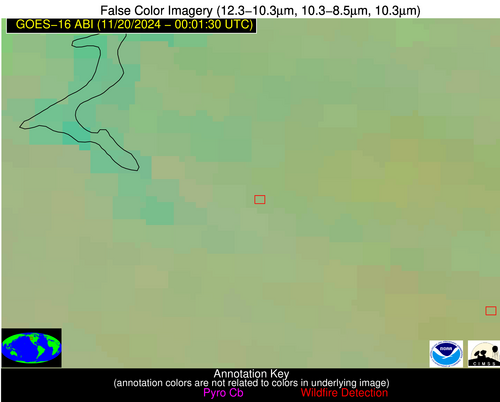
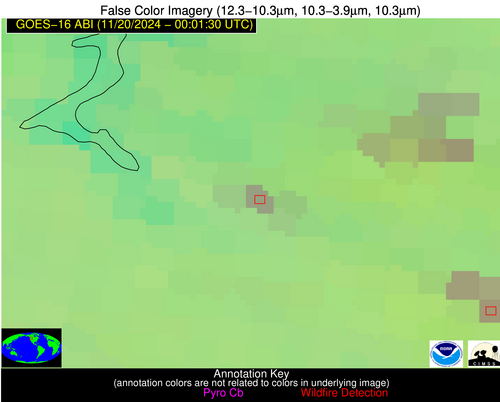
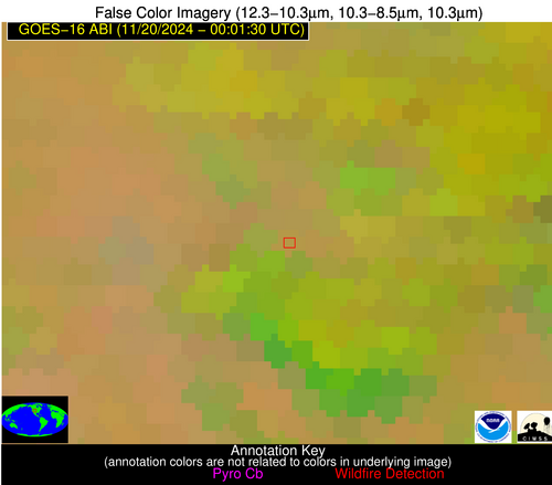
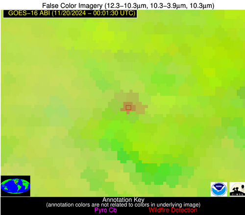
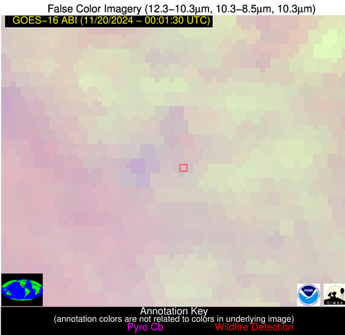
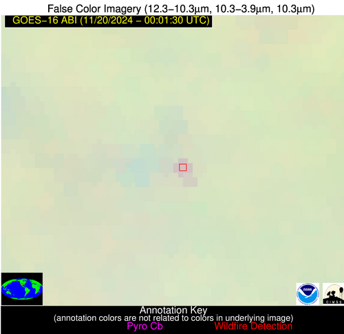
| Latest Satellite Imagery: | |
| View all event imagery » | |
Possible Wildfire
| Basic Information | |
|---|---|
| State/Province(s) | CO |
| Country/Countries | USA |
| County/Locality(s) | Grand County, CO |
| NWS WFO | Denver CO |
| Identification Method | Enhanced Contextual (Clear) |
| Mean Object Date/Time | 2024-11-20 00:01:48UTC |
| Radiative Center (Lat, Lon): | 40.150000°, -106.220000° |
| Nearby Counties (meeting alert criteria): |
|
| Total Radiative Power Anomaly | n/a |
| Total Radiative Power | 8.00 MW |
| Map: | |
| Additional Information | |
| Alert Status | New Feature |
| Type of Event | Nominal Risk |
| Event Priority Ranking | 4 |
| Maximum Observed BT (3.9 um) | 267.13 K |
| Observed - Background BT (3.9 um) | 10.12 K |
| BT Anomaly (3.9 um) | 7.31 K |
| Maximum Observed - Clear RTM BT (3.9 um) | 10.18 K |
| Maximum Observed BTD (3.9-10/11/12 um) | 10.29 K |
| Observed - Background BTD (3.9-10/11/12 um) | 10.08 K |
| BTD Anomaly (3.9-10/11/12 um) | 17.90 K |
| Similar Pixel Count | 1 |
| BT Time Tendency (3.9 um) | 5.50 K |
| Image Interval | 5.00 minutes |
| Fraction of Surrounding LWIR Pixels that are Colder | 0.65 |
| Fraction of Surrounding Red Channel Pixels that are Brighter | 1.00 |
| Maximum Radiative Power | 8.00 MW |
| Maximum Radiative Power Uncertainty | 0.00 MW |
| Total Radiative Power Uncertainty | 0.00 MW |
| Mean Viewing Angle | 56.70° |
| Mean Solar Zenith Angle | 93.60° |
| Mean Glint Angle | 75.30° |
| Water Fraction | 0.00 |
| Total Pixel Area | 9.50 km2 |
| Latest Satellite Imagery: | |
| View all event imagery » | |
Possible Wildfire
| Basic Information | |
|---|---|
| State/Province(s) | NM |
| Country/Countries | USA |
| County/Locality(s) | Eddy County, NM |
| NWS WFO | Midland/Odessa TX |
| Identification Method | Enhanced Contextual (Clear) |
| Mean Object Date/Time | 2024-11-20 00:02:18UTC |
| Radiative Center (Lat, Lon): | 32.310000°, -103.920000° |
| Nearby Counties (meeting alert criteria): |
|
| Total Radiative Power Anomaly | n/a |
| Total Radiative Power | 6.46 MW |
| Map: | |
| Additional Information | |
| Alert Status | New Feature |
| Type of Event | Oil/gas |
| Event Priority Ranking | 5 |
| Maximum Observed BT (3.9 um) | 284.86 K |
| Observed - Background BT (3.9 um) | 5.01 K |
| BT Anomaly (3.9 um) | 5.95 K |
| Maximum Observed - Clear RTM BT (3.9 um) | 3.21 K |
| Maximum Observed BTD (3.9-10/11/12 um) | 3.22 K |
| Observed - Background BTD (3.9-10/11/12 um) | 4.70 K |
| BTD Anomaly (3.9-10/11/12 um) | 9.22 K |
| Similar Pixel Count | 1 |
| BT Time Tendency (3.9 um) | 1.40 K |
| Image Interval | 5.00 minutes |
| Fraction of Surrounding LWIR Pixels that are Colder | 0.80 |
| Fraction of Surrounding Red Channel Pixels that are Brighter | 1.00 |
| Maximum Radiative Power | 6.46 MW |
| Maximum Radiative Power Uncertainty | 0.00 MW |
| Total Radiative Power Uncertainty | 0.00 MW |
| Mean Viewing Angle | 49.00° |
| Mean Solar Zenith Angle | 92.40° |
| Mean Glint Angle | 73.80° |
| Water Fraction | 0.00 |
| Total Pixel Area | 7.30 km2 |
| Latest Satellite Imagery: | |
| View all event imagery » | |
