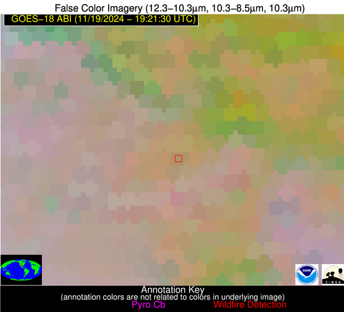
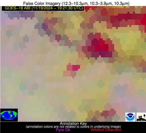
Wildfire Alert Report
| Date: | 2024-11-19 |
|---|---|
| Time: | 19:21:18 |
| Production Date and Time: | 2024-11-19 19:25:51 UTC |
| Primary Instrument: | GOES-18 ABI |
| Wmo Spacecraft Id: | 665 |
| Location/orbit: | GEO |
| L1 File: | OR_ABI-L1b-RadC-M6C14_G18_s20243241921183_e20243241923556_c20243241924025.nc |
| L1 File(s) - Temporal | OR_ABI-L1b-RadC-M6C14_G18_s20243241916183_e20243241918556_c20243241919029.nc |
| Number Of Thermal Anomaly Alerts: | 3 |
Possible Wildfire
| Basic Information | |
|---|---|
| State/Province(s) | OR |
| Country/Countries | USA |
| County/Locality(s) | Malheur County, OR |
| NWS WFO | Boise ID |
| Identification Method | Enhanced Contextual (Cloud) |
| Mean Object Date/Time | 2024-11-19 19:21:24UTC |
| Radiative Center (Lat, Lon): | 44.020000°, -118.220000° |
| Nearby Counties (meeting alert criteria): |
|
| Total Radiative Power Anomaly | n/a |
| Total Radiative Power | 64.93 MW |
| Map: | |
| Additional Information | |
| Alert Status | New Feature |
| Type of Event | Nominal Risk |
| Event Priority Ranking | 4 |
| Maximum Observed BT (3.9 um) | 290.62 K |
| Observed - Background BT (3.9 um) | 24.66 K |
| BT Anomaly (3.9 um) | 19.61 K |
| Maximum Observed - Clear RTM BT (3.9 um) | 21.18 K |
| Maximum Observed BTD (3.9-10/11/12 um) | 35.43 K |
| Observed - Background BTD (3.9-10/11/12 um) | 24.86 K |
| BTD Anomaly (3.9-10/11/12 um) | 14.41 K |
| Similar Pixel Count | 0 |
| BT Time Tendency (3.9 um) | 13.80 K |
| Image Interval | 5.00 minutes |
| Fraction of Surrounding LWIR Pixels that are Colder | 0.64 |
| Fraction of Surrounding Red Channel Pixels that are Brighter | 0.75 |
| Maximum Radiative Power | 64.93 MW |
| Maximum Radiative Power Uncertainty | 0.00 MW |
| Total Radiative Power Uncertainty | 0.00 MW |
| Mean Viewing Angle | 54.40° |
| Mean Solar Zenith Angle | 63.60° |
| Mean Glint Angle | 111.60° |
| Water Fraction | 0.00 |
| Total Pixel Area | 8.20 km2 |
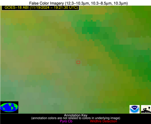
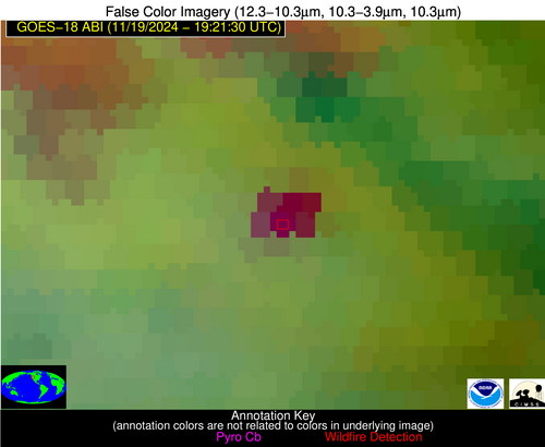
| Latest Satellite Imagery: | |
| View all event imagery » | |
Possible Wildfire
| Basic Information | |
|---|---|
| State/Province(s) | CO |
| Country/Countries | USA |
| County/Locality(s) | Larimer County, CO |
| NWS WFO | Denver CO |
| Identification Method | Enhanced Contextual (Cloud) |
| Mean Object Date/Time | 2024-11-19 19:21:55UTC |
| Radiative Center (Lat, Lon): | 40.990000°, -105.640000° |
| Nearby Counties (meeting alert criteria): |
|
| Total Radiative Power Anomaly | n/a |
| Total Radiative Power | 41.35 MW |
| Map: | |
| Additional Information | |
| Alert Status | New Feature |
| Type of Event | Nominal Risk |
| Event Priority Ranking | 4 |
| Maximum Observed BT (3.9 um) | 294.81 K |
| Observed - Background BT (3.9 um) | 15.92 K |
| BT Anomaly (3.9 um) | 4.40 K |
| Maximum Observed - Clear RTM BT (3.9 um) | 29.52 K |
| Maximum Observed BTD (3.9-10/11/12 um) | 30.72 K |
| Observed - Background BTD (3.9-10/11/12 um) | 16.01 K |
| BTD Anomaly (3.9-10/11/12 um) | 4.64 K |
| Similar Pixel Count | 0 |
| BT Time Tendency (3.9 um) | 4.20 K |
| Image Interval | 5.00 minutes |
| Fraction of Surrounding LWIR Pixels that are Colder | 0.74 |
| Fraction of Surrounding Red Channel Pixels that are Brighter | 0.74 |
| Maximum Radiative Power | 41.35 MW |
| Maximum Radiative Power Uncertainty | 0.00 MW |
| Total Radiative Power Uncertainty | 0.00 MW |
| Mean Viewing Angle | 57.50° |
| Mean Solar Zenith Angle | 60.90° |
| Mean Glint Angle | 110.60° |
| Water Fraction | 0.00 |
| Total Pixel Area | 9.80 km2 |
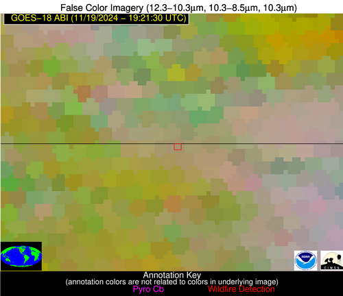
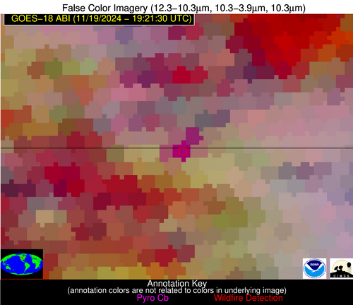
| Latest Satellite Imagery: | |
| View all event imagery » | |
Possible Wildfire
| Basic Information | |
|---|---|
| State/Province(s) | CO |
| Country/Countries | USA |
| County/Locality(s) | Dolores County, CO |
| NWS WFO | Grand Junction CO |
| Identification Method | Enhanced Contextual (Cloud) |
| Mean Object Date/Time | 2024-11-19 19:21:55UTC |
| Radiative Center (Lat, Lon): | 37.660000°, -108.150000° |
| Nearby Counties (meeting alert criteria): |
|
| Total Radiative Power Anomaly | n/a |
| Total Radiative Power | 22.38 MW |
| Map: | |
| Additional Information | |
| Alert Status | New Feature |
| Type of Event | Nominal Risk, Known Incident: TAYLOR MESA PILE RX (HIGH, tdiff=0.8863 days, POINT) |
| Event Priority Ranking | 4 |
| Maximum Observed BT (3.9 um) | 287.72 K |
| Observed - Background BT (3.9 um) | 15.63 K |
| BT Anomaly (3.9 um) | 4.86 K |
| Maximum Observed - Clear RTM BT (3.9 um) | 23.61 K |
| Maximum Observed BTD (3.9-10/11/12 um) | 24.65 K |
| Observed - Background BTD (3.9-10/11/12 um) | 15.26 K |
| BTD Anomaly (3.9-10/11/12 um) | 4.87 K |
| Similar Pixel Count | 0 |
| BT Time Tendency (3.9 um) | 2.60 K |
| Image Interval | 5.00 minutes |
| Fraction of Surrounding LWIR Pixels that are Colder | 0.36 |
| Fraction of Surrounding Red Channel Pixels that are Brighter | 0.45 |
| Maximum Radiative Power | 22.38 MW |
| Maximum Radiative Power Uncertainty | 0.00 MW |
| Total Radiative Power Uncertainty | 0.00 MW |
| Mean Viewing Angle | 53.40° |
| Mean Solar Zenith Angle | 57.40° |
| Mean Glint Angle | 103.20° |
| Water Fraction | 0.00 |
| Total Pixel Area | 8.30 km2 |
| Latest Satellite Imagery: | |
| View all event imagery » | |
