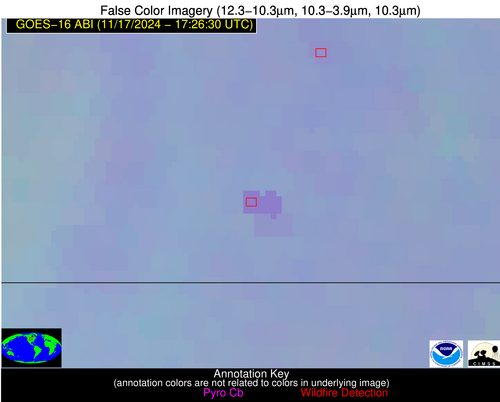
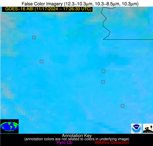
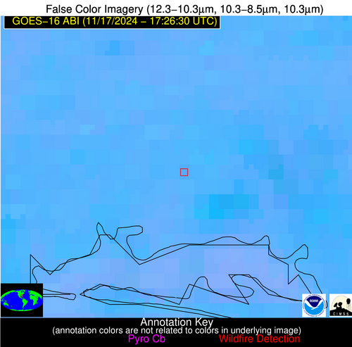
Wildfire Alert Report
| Date: | 2024-11-17 |
|---|---|
| Time: | 17:26:16 |
| Production Date and Time: | 2024-11-17 17:30:56 UTC |
| Primary Instrument: | GOES-16 ABI |
| Wmo Spacecraft Id: | 152 |
| Location/orbit: | GEO |
| L1 File: | OR_ABI-L1b-RadC-M6C14_G16_s20243221726167_e20243221728540_c20243221729035.nc |
| L1 File(s) - Temporal | OR_ABI-L1b-RadC-M6C14_G16_s20243221721167_e20243221723540_c20243221724046.nc |
| Number Of Thermal Anomaly Alerts: | 4 |
Possible Wildfire
| Basic Information | |
|---|---|
| State/Province(s) | ND |
| Country/Countries | USA |
| County/Locality(s) | Dickey County, ND |
| NWS WFO | Bismarck ND |
| Identification Method | Enhanced Contextual (Clear) |
| Mean Object Date/Time | 2024-11-17 17:26:19UTC |
| Radiative Center (Lat, Lon): | 46.050000°, -98.570000° |
| Nearby Counties (meeting alert criteria): |
|
| Total Radiative Power Anomaly | n/a |
| Total Radiative Power | 31.85 MW |
| Map: | |
| Additional Information | |
| Alert Status | New Feature |
| Type of Event | Nominal Risk |
| Event Priority Ranking | 4 |
| Maximum Observed BT (3.9 um) | 295.83 K |
| Observed - Background BT (3.9 um) | 5.50 K |
| BT Anomaly (3.9 um) | 5.70 K |
| Maximum Observed - Clear RTM BT (3.9 um) | 15.36 K |
| Maximum Observed BTD (3.9-10/11/12 um) | 14.33 K |
| Observed - Background BTD (3.9-10/11/12 um) | 4.97 K |
| BTD Anomaly (3.9-10/11/12 um) | 7.61 K |
| Similar Pixel Count | 7 |
| BT Time Tendency (3.9 um) | 5.10 K |
| Image Interval | 5.00 minutes |
| Fraction of Surrounding LWIR Pixels that are Colder | 0.88 |
| Fraction of Surrounding Red Channel Pixels that are Brighter | 0.91 |
| Maximum Radiative Power | 16.71 MW |
| Maximum Radiative Power Uncertainty | 0.00 MW |
| Total Radiative Power Uncertainty | 0.00 MW |
| Mean Viewing Angle | 58.10° |
| Mean Solar Zenith Angle | 66.10° |
| Mean Glint Angle | 121.80° |
| Water Fraction | 0.00 |
| Total Pixel Area | 19.00 km2 |
| Latest Satellite Imagery: | |
| View all event imagery » | |
Possible Wildfire
| Basic Information | |
|---|---|
| State/Province(s) | LA |
| Country/Countries | USA |
| County/Locality(s) | Rapides Parish, LA |
| NWS WFO | Lake Charles LA |
| Identification Method | Enhanced Contextual (Cloud) |
| Mean Object Date/Time | 2024-11-17 17:27:19UTC |
| Radiative Center (Lat, Lon): | 31.020000°, -92.270000° |
| Nearby Counties (meeting alert criteria): |
|
| Total Radiative Power Anomaly | n/a |
| Total Radiative Power | 100.02 MW |
| Map: | |
| Additional Information | |
| Alert Status | New Feature |
| Type of Event | Nominal Risk |
| Event Priority Ranking | 4 |
| Maximum Observed BT (3.9 um) | 323.51 K |
| Observed - Background BT (3.9 um) | 23.06 K |
| BT Anomaly (3.9 um) | 16.79 K |
| Maximum Observed - Clear RTM BT (3.9 um) | 28.94 K |
| Maximum Observed BTD (3.9-10/11/12 um) | 36.02 K |
| Observed - Background BTD (3.9-10/11/12 um) | 24.16 K |
| BTD Anomaly (3.9-10/11/12 um) | 10.79 K |
| Similar Pixel Count | 0 |
| BT Time Tendency (3.9 um) | 20.80 K |
| Image Interval | 5.00 minutes |
| Fraction of Surrounding LWIR Pixels that are Colder | 0.28 |
| Fraction of Surrounding Red Channel Pixels that are Brighter | 0.56 |
| Maximum Radiative Power | 100.02 MW |
| Maximum Radiative Power Uncertainty | 0.00 MW |
| Total Radiative Power Uncertainty | 0.00 MW |
| Mean Viewing Angle | 40.80° |
| Mean Solar Zenith Angle | 50.40° |
| Mean Glint Angle | 89.10° |
| Water Fraction | 0.00 |
| Total Pixel Area | 5.90 km2 |
| Latest Satellite Imagery: | |
| View all event imagery » | |
Possible Wildfire
| Basic Information | |
|---|---|
| State/Province(s) | FL |
| Country/Countries | USA |
| County/Locality(s) | Walton County, FL |
| NWS WFO | Tallahassee FL |
| Identification Method | Enhanced Contextual (Cloud) |
| Mean Object Date/Time | 2024-11-17 17:27:20UTC |
| Radiative Center (Lat, Lon): | 30.610000°, -86.340000° |
| Nearby Counties (meeting alert criteria): |
|
| Total Radiative Power Anomaly | n/a |
| Total Radiative Power | 26.58 MW |
| Map: | |
| Additional Information | |
| Alert Status | New Feature |
| Type of Event | Nominal Risk |
| Event Priority Ranking | 4 |
| Maximum Observed BT (3.9 um) | 309.08 K |
| Observed - Background BT (3.9 um) | 9.39 K |
| BT Anomaly (3.9 um) | 5.98 K |
| Maximum Observed - Clear RTM BT (3.9 um) | 14.66 K |
| Maximum Observed BTD (3.9-10/11/12 um) | 15.80 K |
| Observed - Background BTD (3.9-10/11/12 um) | 8.86 K |
| BTD Anomaly (3.9-10/11/12 um) | 6.84 K |
| Similar Pixel Count | 0 |
| BT Time Tendency (3.9 um) | 9.50 K |
| Image Interval | 5.00 minutes |
| Fraction of Surrounding LWIR Pixels that are Colder | 0.75 |
| Fraction of Surrounding Red Channel Pixels that are Brighter | 0.94 |
| Maximum Radiative Power | 26.58 MW |
| Maximum Radiative Power Uncertainty | 0.00 MW |
| Total Radiative Power Uncertainty | 0.00 MW |
| Mean Viewing Angle | 37.90° |
| Mean Solar Zenith Angle | 49.60° |
| Mean Glint Angle | 85.80° |
| Water Fraction | 0.00 |
| Total Pixel Area | 5.50 km2 |
| Latest Satellite Imagery: | |
| View all event imagery » | |
Possible Wildfire
| Basic Information | |
|---|---|
| State/Province(s) | LA |
| Country/Countries | USA |
| County/Locality(s) | Iberville Parish, LA |
| NWS WFO | New Orleans LA |
| Identification Method | Enhanced Contextual (Clear) |
| Mean Object Date/Time | 2024-11-17 17:27:19UTC |
| Radiative Center (Lat, Lon): | 30.420000°, -91.450000° |
| Nearby Counties (meeting alert criteria): |
|
| Total Radiative Power Anomaly | n/a |
| Total Radiative Power | 51.85 MW |
| Map: | |
| Additional Information | |
| Alert Status | New Feature |
| Type of Event | Nominal Risk |
| Event Priority Ranking | 4 |
| Maximum Observed BT (3.9 um) | 309.39 K |
| Observed - Background BT (3.9 um) | 7.83 K |
| BT Anomaly (3.9 um) | 6.07 K |
| Maximum Observed - Clear RTM BT (3.9 um) | 12.46 K |
| Maximum Observed BTD (3.9-10/11/12 um) | 17.00 K |
| Observed - Background BTD (3.9-10/11/12 um) | 7.00 K |
| BTD Anomaly (3.9-10/11/12 um) | 5.28 K |
| Similar Pixel Count | 8 |
| BT Time Tendency (3.9 um) | 5.40 K |
| Image Interval | 5.00 minutes |
| Fraction of Surrounding LWIR Pixels that are Colder | 0.83 |
| Fraction of Surrounding Red Channel Pixels that are Brighter | 0.89 |
| Maximum Radiative Power | 26.33 MW |
| Maximum Radiative Power Uncertainty | 0.00 MW |
| Total Radiative Power Uncertainty | 0.00 MW |
| Mean Viewing Angle | 39.80° |
| Mean Solar Zenith Angle | 49.70° |
| Mean Glint Angle | 87.50° |
| Water Fraction | 0.00 |
| Total Pixel Area | 11.50 km2 |
| Latest Satellite Imagery: | |
| View all event imagery » | |


