Jan 2026: Due to an ongoing data center cooling system construction project, NGFS data outages may occur with little or no notice. Bitterly cold air in Madison Jan 22-24 increases risk of outages.
Wildfire Alert Report
| Date: | 2024-11-15 |
|---|---|
| Time: | 20:21:17 |
| Production Date and Time: | 2024-11-15 20:25:57 UTC |
| Primary Instrument: | GOES-18 ABI |
| Wmo Spacecraft Id: | 665 |
| Location/orbit: | GEO |
| L1 File: | OR_ABI-L1b-RadC-M6C14_G18_s20243202021177_e20243202023550_c20243202024012.nc |
| L1 File(s) - Temporal | OR_ABI-L1b-RadC-M6C14_G18_s20243202016177_e20243202018550_c20243202019042.nc |
| Number Of Thermal Anomaly Alerts: | 3 |
Possible Wildfire
| Basic Information | |
|---|---|
| State/Province(s) | Saskatchewan |
| Country/Countries | Canada |
| County/Locality(s) | Division No. 5, Saskatchewan |
| NWS WFO | N/A |
| Identification Method | Enhanced Contextual (Clear) |
| Mean Object Date/Time | 2024-11-15 20:21:24UTC |
| Radiative Center (Lat, Lon): | 50.080000°, -102.210000° |
| Nearby Counties (meeting alert criteria): |
|
| Total Radiative Power Anomaly | n/a |
| Total Radiative Power | 30.52 MW |
| Map: | |
| Additional Information | |
| Alert Status | New Feature |
| Type of Event | Nominal Risk |
| Event Priority Ranking | 4 |
| Maximum Observed BT (3.9 um) | 291.85 K |
| Observed - Background BT (3.9 um) | 7.73 K |
| BT Anomaly (3.9 um) | 11.30 K |
| Maximum Observed - Clear RTM BT (3.9 um) | 16.60 K |
| Maximum Observed BTD (3.9-10/11/12 um) | 14.28 K |
| Observed - Background BTD (3.9-10/11/12 um) | 6.62 K |
| BTD Anomaly (3.9-10/11/12 um) | 8.98 K |
| Similar Pixel Count | 2 |
| BT Time Tendency (3.9 um) | 5.70 K |
| Image Interval | 5.00 minutes |
| Fraction of Surrounding LWIR Pixels that are Colder | 1.00 |
| Fraction of Surrounding Red Channel Pixels that are Brighter | 0.80 |
| Maximum Radiative Power | 30.52 MW |
| Maximum Radiative Power Uncertainty | 0.00 MW |
| Total Radiative Power Uncertainty | 0.00 MW |
| Mean Viewing Angle | 66.60° |
| Mean Solar Zenith Angle | 72.60° |
| Mean Glint Angle | 136.50° |
| Water Fraction | 0.00 |
| Total Pixel Area | 15.20 km2 |
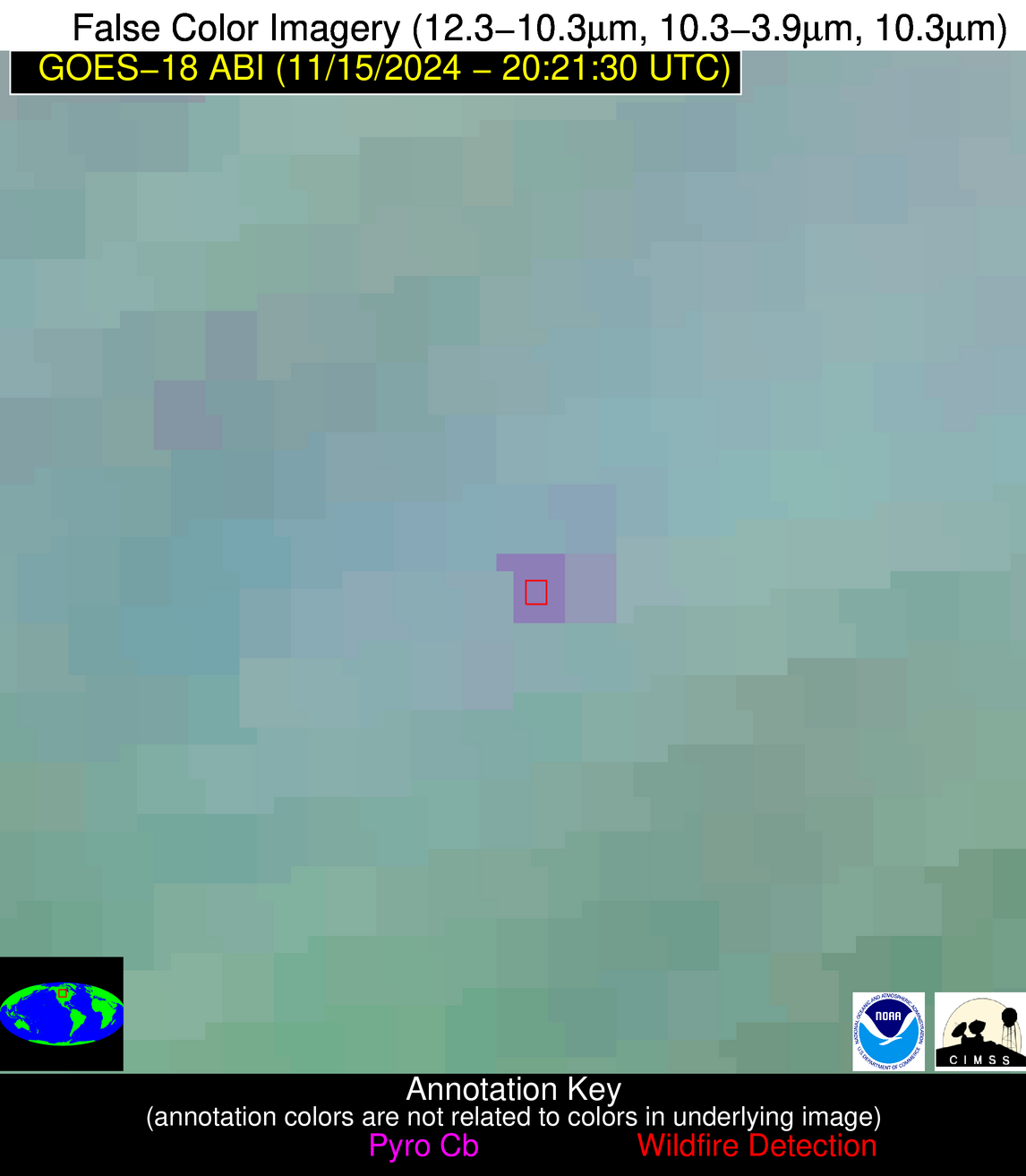
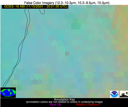
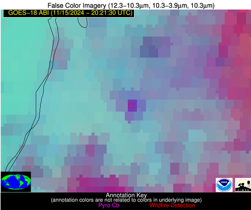
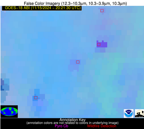
| Latest Satellite Imagery: | |
| View all event imagery » | |
Possible Wildfire
| Basic Information | |
|---|---|
| State/Province(s) | OR |
| Country/Countries | USA |
| County/Locality(s) | Coos County, OR |
| NWS WFO | Medford OR |
| Identification Method | Enhanced Contextual (Cloud) |
| Mean Object Date/Time | 2024-11-15 20:21:22UTC |
| Radiative Center (Lat, Lon): | 43.080000°, -124.170000° |
| Nearby Counties (meeting alert criteria): |
|
| Total Radiative Power Anomaly | n/a |
| Total Radiative Power | 41.61 MW |
| Map: | |
| Additional Information | |
| Alert Status | New Feature |
| Type of Event | Nominal Risk |
| Event Priority Ranking | 4 |
| Maximum Observed BT (3.9 um) | 301.30 K |
| Observed - Background BT (3.9 um) | 14.80 K |
| BT Anomaly (3.9 um) | 6.98 K |
| Maximum Observed - Clear RTM BT (3.9 um) | 23.67 K |
| Maximum Observed BTD (3.9-10/11/12 um) | 24.05 K |
| Observed - Background BTD (3.9-10/11/12 um) | 14.93 K |
| BTD Anomaly (3.9-10/11/12 um) | 4.59 K |
| Similar Pixel Count | 0 |
| BT Time Tendency (3.9 um) | 7.00 K |
| Image Interval | 5.00 minutes |
| Fraction of Surrounding LWIR Pixels that are Colder | 0.58 |
| Fraction of Surrounding Red Channel Pixels that are Brighter | 0.30 |
| Maximum Radiative Power | 41.61 MW |
| Maximum Radiative Power Uncertainty | 0.00 MW |
| Total Radiative Power Uncertainty | 0.00 MW |
| Mean Viewing Angle | 51.60° |
| Mean Solar Zenith Angle | 61.70° |
| Mean Glint Angle | 112.20° |
| Water Fraction | 0.00 |
| Total Pixel Area | 7.40 km2 |
| Latest Satellite Imagery: | |
| View all event imagery » | |
Possible Wildfire
| Basic Information | |
|---|---|
| State/Province(s) | CA |
| Country/Countries | USA |
| County/Locality(s) | Glenn County, CA |
| NWS WFO | Sacramento CA |
| Identification Method | Enhanced Contextual (Clear) |
| Mean Object Date/Time | 2024-11-15 20:21:53UTC |
| Radiative Center (Lat, Lon): | 39.480000°, -122.250000° |
| Nearby Counties (meeting alert criteria): |
|
| Total Radiative Power Anomaly | n/a |
| Total Radiative Power | 26.65 MW |
| Map: | |
| Additional Information | |
| Alert Status | New Feature |
| Type of Event | Nominal Risk |
| Event Priority Ranking | 4 |
| Maximum Observed BT (3.9 um) | 300.59 K |
| Observed - Background BT (3.9 um) | 4.27 K |
| BT Anomaly (3.9 um) | 2.32 K |
| Maximum Observed - Clear RTM BT (3.9 um) | 16.97 K |
| Maximum Observed BTD (3.9-10/11/12 um) | 11.53 K |
| Observed - Background BTD (3.9-10/11/12 um) | 3.35 K |
| BTD Anomaly (3.9-10/11/12 um) | 1.86 K |
| Similar Pixel Count | 19 |
| BT Time Tendency (3.9 um) | 2.30 K |
| Image Interval | 5.00 minutes |
| Fraction of Surrounding LWIR Pixels that are Colder | 0.92 |
| Fraction of Surrounding Red Channel Pixels that are Brighter | 0.80 |
| Maximum Radiative Power | 16.65 MW |
| Maximum Radiative Power Uncertainty | 0.00 MW |
| Total Radiative Power Uncertainty | 0.00 MW |
| Mean Viewing Angle | 48.40° |
| Mean Solar Zenith Angle | 58.30° |
| Mean Glint Angle | 105.40° |
| Water Fraction | 0.00 |
| Total Pixel Area | 20.50 km2 |
| Latest Satellite Imagery: | |
| View all event imagery » | |

