Wildfire Alert Report
| Date: | 2024-11-12 |
|---|---|
| Time: | 14:41:17 |
| Production Date and Time: | 2024-11-12 14:45:49 UTC |
| Primary Instrument: | GOES-16 ABI |
| Wmo Spacecraft Id: | 152 |
| Location/orbit: | GEO |
| L1 File: | OR_ABI-L1b-RadC-M6C14_G16_s20243171441170_e20243171443543_c20243171444035.nc |
| L1 File(s) - Temporal | OR_ABI-L1b-RadC-M6C14_G16_s20243171436170_e20243171438543_c20243171439027.nc |
| Number Of Thermal Anomaly Alerts: | 4 |
Possible Wildfire
| Basic Information | |
|---|---|
| State/Province(s) | GA |
| Country/Countries | USA |
| County/Locality(s) | Fulton County, GA |
| NWS WFO | Peachtree City GA |
| Identification Method | Enhanced Contextual (Clear) |
| Mean Object Date/Time | 2024-11-12 14:42:21UTC |
| Radiative Center (Lat, Lon): | 33.600000°, -84.750000° |
| Nearby Counties (meeting alert criteria): |
|
| Total Radiative Power Anomaly | n/a |
| Total Radiative Power | 11.65 MW |
| Map: | |
| Additional Information | |
| Alert Status | New Feature |
| Type of Event | Nominal Risk |
| Event Priority Ranking | 4 |
| Maximum Observed BT (3.9 um) | 294.37 K |
| Observed - Background BT (3.9 um) | 4.76 K |
| BT Anomaly (3.9 um) | 7.02 K |
| Maximum Observed - Clear RTM BT (3.9 um) | 6.59 K |
| Maximum Observed BTD (3.9-10/11/12 um) | 9.20 K |
| Observed - Background BTD (3.9-10/11/12 um) | 5.53 K |
| BTD Anomaly (3.9-10/11/12 um) | 5.86 K |
| Similar Pixel Count | 2 |
| BT Time Tendency (3.9 um) | 1.20 K |
| Image Interval | 5.00 minutes |
| Fraction of Surrounding LWIR Pixels that are Colder | 0.20 |
| Fraction of Surrounding Red Channel Pixels that are Brighter | 1.00 |
| Maximum Radiative Power | 11.65 MW |
| Maximum Radiative Power Uncertainty | 0.00 MW |
| Total Radiative Power Uncertainty | 0.00 MW |
| Mean Viewing Angle | 40.60° |
| Mean Solar Zenith Angle | 64.20° |
| Mean Glint Angle | 101.20° |
| Water Fraction | 0.00 |
| Total Pixel Area | 5.70 km2 |
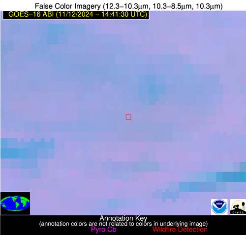
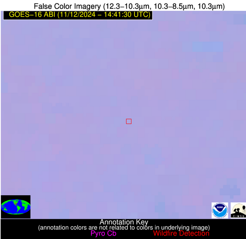
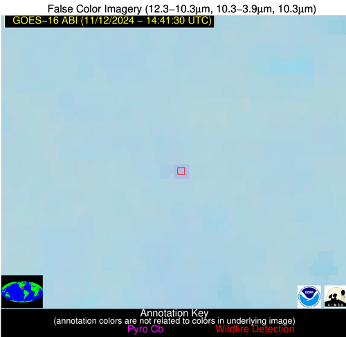
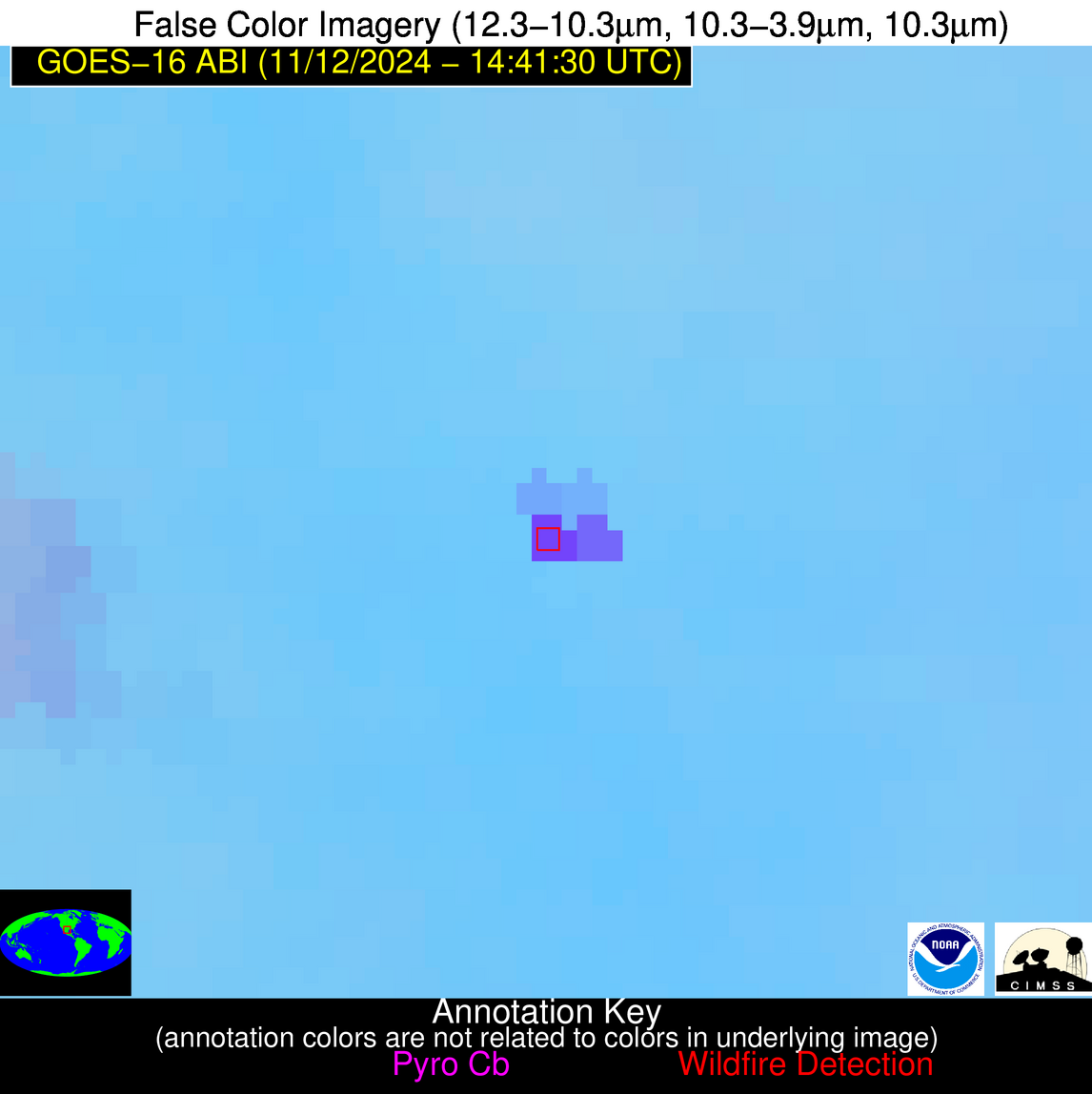
| Latest Satellite Imagery: | |
| View all event imagery » | |
Possible Wildfire
| Basic Information | |
|---|---|
| State/Province(s) | TX |
| Country/Countries | USA |
| County/Locality(s) | Rusk County, TX |
| NWS WFO | Shreveport LA |
| Identification Method | Enhanced Contextual (Clear) |
| Mean Object Date/Time | 2024-11-12 14:42:20UTC |
| Radiative Center (Lat, Lon): | 31.860000°, -94.650000° |
| Nearby Counties (meeting alert criteria): |
|
| Total Radiative Power Anomaly | n/a |
| Total Radiative Power | 5.67 MW |
| Map: | |
| Additional Information | |
| Alert Status | New Feature |
| Type of Event | Nominal Risk |
| Event Priority Ranking | 4 |
| Maximum Observed BT (3.9 um) | 291.44 K |
| Observed - Background BT (3.9 um) | 3.26 K |
| BT Anomaly (3.9 um) | 6.19 K |
| Maximum Observed - Clear RTM BT (3.9 um) | 4.27 K |
| Maximum Observed BTD (3.9-10/11/12 um) | 4.64 K |
| Observed - Background BTD (3.9-10/11/12 um) | 2.92 K |
| BTD Anomaly (3.9-10/11/12 um) | 13.44 K |
| Similar Pixel Count | 1 |
| BT Time Tendency (3.9 um) | 1.60 K |
| Image Interval | 5.00 minutes |
| Fraction of Surrounding LWIR Pixels that are Colder | 0.85 |
| Fraction of Surrounding Red Channel Pixels that are Brighter | 1.00 |
| Maximum Radiative Power | 5.67 MW |
| Maximum Radiative Power Uncertainty | 0.00 MW |
| Total Radiative Power Uncertainty | 0.00 MW |
| Mean Viewing Angle | 42.90° |
| Mean Solar Zenith Angle | 69.20° |
| Mean Glint Angle | 110.10° |
| Water Fraction | 0.00 |
| Total Pixel Area | 6.10 km2 |
| Latest Satellite Imagery: | |
| View all event imagery » | |
Possible Wildfire
| Basic Information | |
|---|---|
| State/Province(s) | TX |
| Country/Countries | USA |
| County/Locality(s) | Blanco County, TX |
| NWS WFO | Austin/San Antonio TX |
| Identification Method | Enhanced Contextual (Clear) |
| Mean Object Date/Time | 2024-11-12 14:42:50UTC |
| Radiative Center (Lat, Lon): | 29.970000°, -98.400000° |
| Nearby Counties (meeting alert criteria): |
|
| Total Radiative Power Anomaly | n/a |
| Total Radiative Power | 10.19 MW |
| Map: | |
| Additional Information | |
| Alert Status | New Feature |
| Type of Event | Nominal Risk |
| Event Priority Ranking | 4 |
| Maximum Observed BT (3.9 um) | 296.36 K |
| Observed - Background BT (3.9 um) | 4.31 K |
| BT Anomaly (3.9 um) | 4.54 K |
| Maximum Observed - Clear RTM BT (3.9 um) | 5.38 K |
| Maximum Observed BTD (3.9-10/11/12 um) | 7.91 K |
| Observed - Background BTD (3.9-10/11/12 um) | 4.03 K |
| BTD Anomaly (3.9-10/11/12 um) | 3.65 K |
| Similar Pixel Count | 2 |
| BT Time Tendency (3.9 um) | 2.30 K |
| Image Interval | 5.00 minutes |
| Fraction of Surrounding LWIR Pixels that are Colder | 0.71 |
| Fraction of Surrounding Red Channel Pixels that are Brighter | 1.00 |
| Maximum Radiative Power | 10.19 MW |
| Maximum Radiative Power Uncertainty | 0.00 MW |
| Total Radiative Power Uncertainty | 0.00 MW |
| Mean Viewing Angle | 43.40° |
| Mean Solar Zenith Angle | 70.60° |
| Mean Glint Angle | 112.70° |
| Water Fraction | 0.00 |
| Total Pixel Area | 6.30 km2 |
| Latest Satellite Imagery: | |
| View all event imagery » | |
Possible Wildfire
| Basic Information | |
|---|---|
| State/Province(s) | Coahuila de Zaragoza |
| Country/Countries | Mexico |
| County/Locality(s) | Zaragoza, Coahuila de Zaragoza |
| NWS WFO | N/A |
| Identification Method | Enhanced Contextual (Cloud) |
| Mean Object Date/Time | 2024-11-12 14:42:49UTC |
| Radiative Center (Lat, Lon): | 28.600000°, -101.180000° |
| Nearby Counties (meeting alert criteria): |
|
| Total Radiative Power Anomaly | n/a |
| Total Radiative Power | 111.00 MW |
| Map: | |
| Additional Information | |
| Alert Status | New Feature |
| Type of Event | Nominal Risk |
| Event Priority Ranking | 4 |
| Maximum Observed BT (3.9 um) | 313.04 K |
| Observed - Background BT (3.9 um) | 18.66 K |
| BT Anomaly (3.9 um) | 41.63 K |
| Maximum Observed - Clear RTM BT (3.9 um) | 20.04 K |
| Maximum Observed BTD (3.9-10/11/12 um) | 22.83 K |
| Observed - Background BTD (3.9-10/11/12 um) | 18.39 K |
| BTD Anomaly (3.9-10/11/12 um) | 49.62 K |
| Similar Pixel Count | 0 |
| BT Time Tendency (3.9 um) | 18.70 K |
| Image Interval | 5.00 minutes |
| Fraction of Surrounding LWIR Pixels that are Colder | 0.83 |
| Fraction of Surrounding Red Channel Pixels that are Brighter | 1.00 |
| Maximum Radiative Power | 66.77 MW |
| Maximum Radiative Power Uncertainty | 0.00 MW |
| Total Radiative Power Uncertainty | 0.00 MW |
| Mean Viewing Angle | 44.10° |
| Mean Solar Zenith Angle | 71.90° |
| Mean Glint Angle | 115.10° |
| Water Fraction | 0.00 |
| Total Pixel Area | 12.80 km2 |
| Latest Satellite Imagery: | |
| View all event imagery » | |


