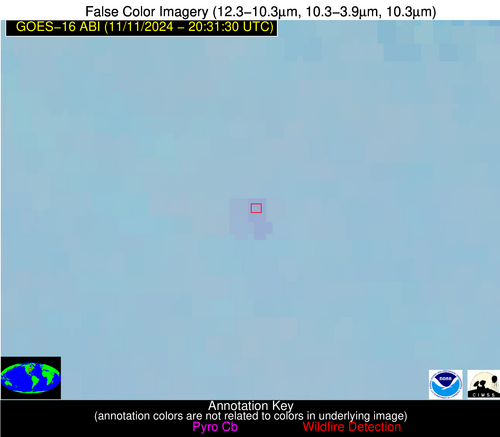
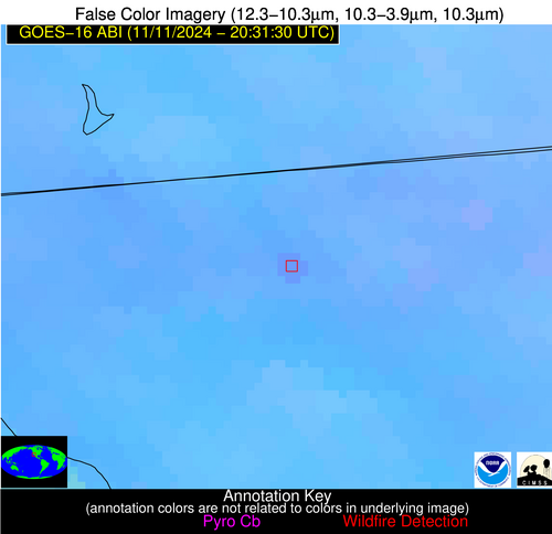
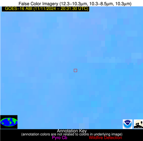
Wildfire Alert Report
| Date: | 2024-11-11 |
|---|---|
| Time: | 20:31:17 |
| Production Date and Time: | 2024-11-11 20:35:52 UTC |
| Primary Instrument: | GOES-16 ABI |
| Wmo Spacecraft Id: | 152 |
| Location/orbit: | GEO |
| L1 File: | OR_ABI-L1b-RadC-M6C14_G16_s20243162031170_e20243162033543_c20243162034013.nc |
| L1 File(s) - Temporal | OR_ABI-L1b-RadC-M6C14_G16_s20243162026170_e20243162028543_c20243162029038.nc |
| Number Of Thermal Anomaly Alerts: | 5 |
Possible Wildfire
| Basic Information | |
|---|---|
| State/Province(s) | IL |
| Country/Countries | USA |
| County/Locality(s) | Livingston County, IL |
| NWS WFO | Chicago IL |
| Identification Method | Enhanced Contextual (Clear) |
| Mean Object Date/Time | 2024-11-11 20:31:51UTC |
| Radiative Center (Lat, Lon): | 40.890000°, -88.470000° |
| Nearby Counties (meeting alert criteria): |
|
| Total Radiative Power Anomaly | n/a |
| Total Radiative Power | 11.26 MW |
| Map: | |
| Additional Information | |
| Alert Status | New Feature |
| Type of Event | Nominal Risk |
| Event Priority Ranking | 4 |
| Maximum Observed BT (3.9 um) | 290.86 K |
| Observed - Background BT (3.9 um) | 2.69 K |
| BT Anomaly (3.9 um) | 6.81 K |
| Maximum Observed - Clear RTM BT (3.9 um) | 8.44 K |
| Maximum Observed BTD (3.9-10/11/12 um) | 7.52 K |
| Observed - Background BTD (3.9-10/11/12 um) | 2.66 K |
| BTD Anomaly (3.9-10/11/12 um) | 15.38 K |
| Similar Pixel Count | 5 |
| BT Time Tendency (3.9 um) | 1.10 K |
| Image Interval | 5.00 minutes |
| Fraction of Surrounding LWIR Pixels that are Colder | 0.48 |
| Fraction of Surrounding Red Channel Pixels that are Brighter | 1.00 |
| Maximum Radiative Power | 5.96 MW |
| Maximum Radiative Power Uncertainty | 0.00 MW |
| Total Radiative Power Uncertainty | 0.00 MW |
| Mean Viewing Angle | 49.40° |
| Mean Solar Zenith Angle | 70.80° |
| Mean Glint Angle | 96.00° |
| Water Fraction | 0.00 |
| Total Pixel Area | 14.00 km2 |
| Latest Satellite Imagery: | |
| View all event imagery » | |
Possible Wildfire
| Basic Information | |
|---|---|
| State/Province(s) | KS |
| Country/Countries | USA |
| County/Locality(s) | Republic County, KS |
| NWS WFO | Topeka KS |
| Identification Method | Enhanced Contextual (Clear) |
| Mean Object Date/Time | 2024-11-11 20:31:50UTC |
| Radiative Center (Lat, Lon): | 39.990000°, -97.580000° |
| Nearby Counties (meeting alert criteria): |
|
| Total Radiative Power Anomaly | n/a |
| Total Radiative Power | 9.14 MW |
| Map: | |
| Additional Information | |
| Alert Status | New Feature |
| Type of Event | Nominal Risk |
| Event Priority Ranking | 4 |
| Maximum Observed BT (3.9 um) | 294.93 K |
| Observed - Background BT (3.9 um) | 3.38 K |
| BT Anomaly (3.9 um) | 10.18 K |
| Maximum Observed - Clear RTM BT (3.9 um) | 11.65 K |
| Maximum Observed BTD (3.9-10/11/12 um) | 9.46 K |
| Observed - Background BTD (3.9-10/11/12 um) | 3.38 K |
| BTD Anomaly (3.9-10/11/12 um) | 10.41 K |
| Similar Pixel Count | 9 |
| BT Time Tendency (3.9 um) | 3.00 K |
| Image Interval | 5.00 minutes |
| Fraction of Surrounding LWIR Pixels that are Colder | 0.55 |
| Fraction of Surrounding Red Channel Pixels that are Brighter | 1.00 |
| Maximum Radiative Power | 9.14 MW |
| Maximum Radiative Power Uncertainty | 0.00 MW |
| Total Radiative Power Uncertainty | 0.00 MW |
| Mean Viewing Angle | 52.00° |
| Mean Solar Zenith Angle | 65.70° |
| Mean Glint Angle | 90.40° |
| Water Fraction | 0.00 |
| Total Pixel Area | 7.80 km2 |
| Latest Satellite Imagery: | |
| View all event imagery » | |
Possible Wildfire
| Basic Information | |
|---|---|
| State/Province(s) | OK |
| Country/Countries | USA |
| County/Locality(s) | Stephens County, OK |
| NWS WFO | Norman OK |
| Identification Method | Enhanced Contextual (Clear) |
| Mean Object Date/Time | 2024-11-11 20:32:20UTC |
| Radiative Center (Lat, Lon): | 34.460000°, -97.610000° |
| Nearby Counties (meeting alert criteria): |
|
| Total Radiative Power Anomaly | n/a |
| Total Radiative Power | 9.39 MW |
| Map: | |
| Additional Information | |
| Alert Status | New Feature |
| Type of Event | Nominal Risk |
| Event Priority Ranking | 4 |
| Maximum Observed BT (3.9 um) | 300.63 K |
| Observed - Background BT (3.9 um) | 3.14 K |
| BT Anomaly (3.9 um) | 6.83 K |
| Maximum Observed - Clear RTM BT (3.9 um) | 11.74 K |
| Maximum Observed BTD (3.9-10/11/12 um) | 7.77 K |
| Observed - Background BTD (3.9-10/11/12 um) | 3.02 K |
| BTD Anomaly (3.9-10/11/12 um) | 8.77 K |
| Similar Pixel Count | 10 |
| BT Time Tendency (3.9 um) | 0.20 K |
| Image Interval | 5.00 minutes |
| Fraction of Surrounding LWIR Pixels that are Colder | 0.55 |
| Fraction of Surrounding Red Channel Pixels that are Brighter | 1.00 |
| Maximum Radiative Power | 9.39 MW |
| Maximum Radiative Power Uncertainty | 0.00 MW |
| Total Radiative Power Uncertainty | 0.00 MW |
| Mean Viewing Angle | 46.90° |
| Mean Solar Zenith Angle | 61.30° |
| Mean Glint Angle | 81.40° |
| Water Fraction | 0.00 |
| Total Pixel Area | 6.80 km2 |
| Latest Satellite Imagery: | |
| View all event imagery » | |
Possible Wildfire
| Basic Information | |
|---|---|
| State/Province(s) | Baja California |
| Country/Countries | Mexico |
| County/Locality(s) | Tijuana, Baja California |
| NWS WFO | N/A |
| Identification Method | Enhanced Contextual (Clear) |
| Mean Object Date/Time | 2024-11-11 20:32:18UTC |
| Radiative Center (Lat, Lon): | 32.460000°, -116.710000° |
| Nearby Counties (meeting alert criteria): |
|
| Total Radiative Power Anomaly | n/a |
| Total Radiative Power | 21.54 MW |
| Map: | |
| Additional Information | |
| Alert Status | New Feature |
| Type of Event | Nominal Risk |
| Event Priority Ranking | 4 |
| Maximum Observed BT (3.9 um) | 310.78 K |
| Observed - Background BT (3.9 um) | 4.51 K |
| BT Anomaly (3.9 um) | 3.09 K |
| Maximum Observed - Clear RTM BT (3.9 um) | 19.16 K |
| Maximum Observed BTD (3.9-10/11/12 um) | 10.88 K |
| Observed - Background BTD (3.9-10/11/12 um) | 3.75 K |
| BTD Anomaly (3.9-10/11/12 um) | 4.85 K |
| Similar Pixel Count | 24 |
| BT Time Tendency (3.9 um) | 2.60 K |
| Image Interval | 5.00 minutes |
| Fraction of Surrounding LWIR Pixels that are Colder | 0.83 |
| Fraction of Surrounding Red Channel Pixels that are Brighter | 0.98 |
| Maximum Radiative Power | 21.54 MW |
| Maximum Radiative Power Uncertainty | 0.00 MW |
| Total Radiative Power Uncertainty | 0.00 MW |
| Mean Viewing Angle | 58.50° |
| Mean Solar Zenith Angle | 52.00° |
| Mean Glint Angle | 80.10° |
| Water Fraction | 0.00 |
| Total Pixel Area | 10.70 km2 |
| Latest Satellite Imagery: | |
| View all event imagery » | |
Possible Wildfire
| Basic Information | |
|---|---|
| State/Province(s) | LA |
| Country/Countries | USA |
| County/Locality(s) | Pointe Coupee Parish, LA |
| NWS WFO | New Orleans LA |
| Identification Method | Enhanced Contextual (Clear) |
| Mean Object Date/Time | 2024-11-11 20:32:20UTC |
| Radiative Center (Lat, Lon): | 30.700000°, -91.650000° |
| Nearby Counties (meeting alert criteria): |
|
| Total Radiative Power Anomaly | n/a |
| Total Radiative Power | 11.42 MW |
| Map: | |
| Additional Information | |
| Alert Status | New Feature |
| Type of Event | Nominal Risk |
| Event Priority Ranking | 4 |
| Maximum Observed BT (3.9 um) | 302.28 K |
| Observed - Background BT (3.9 um) | 4.19 K |
| BT Anomaly (3.9 um) | 5.34 K |
| Maximum Observed - Clear RTM BT (3.9 um) | 7.97 K |
| Maximum Observed BTD (3.9-10/11/12 um) | 8.63 K |
| Observed - Background BTD (3.9-10/11/12 um) | 3.59 K |
| BTD Anomaly (3.9-10/11/12 um) | 3.49 K |
| Similar Pixel Count | 3 |
| BT Time Tendency (3.9 um) | 2.00 K |
| Image Interval | 5.00 minutes |
| Fraction of Surrounding LWIR Pixels that are Colder | 0.79 |
| Fraction of Surrounding Red Channel Pixels that are Brighter | 0.99 |
| Maximum Radiative Power | 11.42 MW |
| Maximum Radiative Power Uncertainty | 0.00 MW |
| Total Radiative Power Uncertainty | 0.00 MW |
| Mean Viewing Angle | 40.20° |
| Mean Solar Zenith Angle | 61.70° |
| Mean Glint Angle | 78.00° |
| Water Fraction | 0.00 |
| Total Pixel Area | 5.80 km2 |
| Latest Satellite Imagery: | |
| View all event imagery » | |


