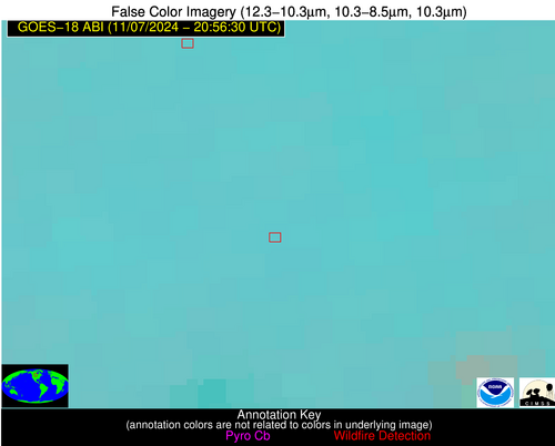
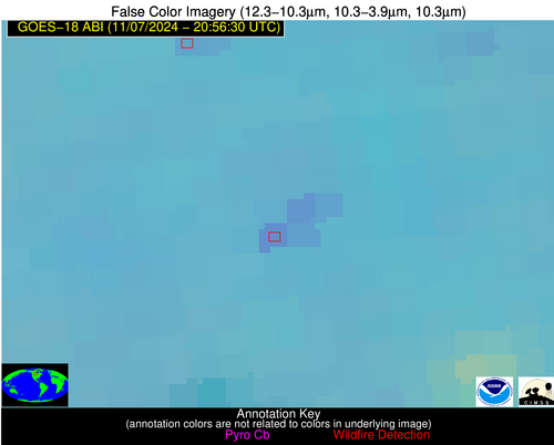
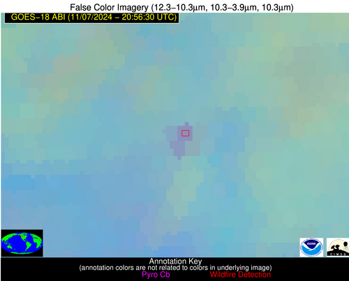
Wildfire Alert Report
| Date: | 2024-11-07 |
|---|---|
| Time: | 20:56:18 |
| Production Date and Time: | 2024-11-07 21:00:48 UTC |
| Primary Instrument: | GOES-18 ABI |
| Wmo Spacecraft Id: | 665 |
| Location/orbit: | GEO |
| L1 File: | OR_ABI-L1b-RadC-M6C14_G18_s20243122056186_e20243122058559_c20243122059051.nc |
| L1 File(s) - Temporal | OR_ABI-L1b-RadC-M6C14_G18_s20243122051186_e20243122053559_c20243122054010.nc |
| Number Of Thermal Anomaly Alerts: | 3 |
Possible Wildfire
| Basic Information | |
|---|---|
| State/Province(s) | Manitoba |
| Country/Countries | Canada |
| County/Locality(s) | Division No. 6, Manitoba |
| NWS WFO | N/A |
| Identification Method | Enhanced Contextual (Clear) |
| Mean Object Date/Time | 2024-11-07 20:56:25UTC |
| Radiative Center (Lat, Lon): | 49.860000°, -101.040000° |
| Nearby Counties (meeting alert criteria): |
|
| Total Radiative Power Anomaly | n/a |
| Total Radiative Power | 42.16 MW |
| Map: | |
| Additional Information | |
| Alert Status | New Feature |
| Type of Event | Nominal Risk |
| Event Priority Ranking | 4 |
| Maximum Observed BT (3.9 um) | 293.50 K |
| Observed - Background BT (3.9 um) | 5.66 K |
| BT Anomaly (3.9 um) | 12.32 K |
| Maximum Observed - Clear RTM BT (3.9 um) | 15.12 K |
| Maximum Observed BTD (3.9-10/11/12 um) | 12.79 K |
| Observed - Background BTD (3.9-10/11/12 um) | 4.92 K |
| BTD Anomaly (3.9-10/11/12 um) | 12.64 K |
| Similar Pixel Count | 5 |
| BT Time Tendency (3.9 um) | 4.50 K |
| Image Interval | 5.00 minutes |
| Fraction of Surrounding LWIR Pixels that are Colder | 0.95 |
| Fraction of Surrounding Red Channel Pixels that are Brighter | 1.00 |
| Maximum Radiative Power | 22.48 MW |
| Maximum Radiative Power Uncertainty | 0.00 MW |
| Total Radiative Power Uncertainty | 0.00 MW |
| Mean Viewing Angle | 67.00° |
| Mean Solar Zenith Angle | 73.90° |
| Mean Glint Angle | 140.40° |
| Water Fraction | 0.00 |
| Total Pixel Area | 31.40 km2 |
| Latest Satellite Imagery: | |
| View all event imagery » | |
Possible Wildfire
| Basic Information | |
|---|---|
| State/Province(s) | WA |
| Country/Countries | USA |
| County/Locality(s) | Ferry County, WA |
| NWS WFO | Spokane WA |
| Identification Method | Enhanced Contextual (Clear) |
| Mean Object Date/Time | 2024-11-07 20:56:24UTC |
| Radiative Center (Lat, Lon): | 48.260000°, -118.770000° |
| Nearby Counties (meeting alert criteria): |
|
| Total Radiative Power Anomaly | n/a |
| Total Radiative Power | 28.24 MW |
| Map: | |
| Additional Information | |
| Alert Status | New Feature |
| Type of Event | Nominal Risk |
| Event Priority Ranking | 4 |
| Maximum Observed BT (3.9 um) | 290.22 K |
| Observed - Background BT (3.9 um) | 5.05 K |
| BT Anomaly (3.9 um) | 2.36 K |
| Maximum Observed - Clear RTM BT (3.9 um) | 16.27 K |
| Maximum Observed BTD (3.9-10/11/12 um) | 11.61 K |
| Observed - Background BTD (3.9-10/11/12 um) | 5.37 K |
| BTD Anomaly (3.9-10/11/12 um) | 5.30 K |
| Similar Pixel Count | 5 |
| BT Time Tendency (3.9 um) | 0.70 K |
| Image Interval | 5.00 minutes |
| Fraction of Surrounding LWIR Pixels that are Colder | 0.38 |
| Fraction of Surrounding Red Channel Pixels that are Brighter | 0.98 |
| Maximum Radiative Power | 15.78 MW |
| Maximum Radiative Power Uncertainty | 0.00 MW |
| Total Radiative Power Uncertainty | 0.00 MW |
| Mean Viewing Angle | 58.50° |
| Mean Solar Zenith Angle | 66.90° |
| Mean Glint Angle | 125.30° |
| Water Fraction | 0.00 |
| Total Pixel Area | 18.60 km2 |
| Latest Satellite Imagery: | |
| View all event imagery » | |
Possible Wildfire
| Basic Information | |
|---|---|
| State/Province(s) | CA |
| Country/Countries | USA |
| County/Locality(s) | Imperial County, CA |
| NWS WFO | Phoenix AZ |
| Identification Method | Enhanced Contextual (Clear) |
| Mean Object Date/Time | 2024-11-07 20:57:25UTC |
| Radiative Center (Lat, Lon): | 33.130000°, -115.460000° |
| Nearby Counties (meeting alert criteria): |
|
| Total Radiative Power Anomaly | n/a |
| Total Radiative Power | 39.89 MW |
| Map: | |
| Additional Information | |
| Alert Status | New Feature |
| Type of Event | Nominal Risk |
| Event Priority Ranking | 4 |
| Maximum Observed BT (3.9 um) | 315.97 K |
| Observed - Background BT (3.9 um) | 8.65 K |
| BT Anomaly (3.9 um) | 4.06 K |
| Maximum Observed - Clear RTM BT (3.9 um) | 23.80 K |
| Maximum Observed BTD (3.9-10/11/12 um) | 16.51 K |
| Observed - Background BTD (3.9-10/11/12 um) | 8.17 K |
| BTD Anomaly (3.9-10/11/12 um) | 6.30 K |
| Similar Pixel Count | 1 |
| BT Time Tendency (3.9 um) | 4.20 K |
| Image Interval | 5.00 minutes |
| Fraction of Surrounding LWIR Pixels that are Colder | 0.68 |
| Fraction of Surrounding Red Channel Pixels that are Brighter | 0.94 |
| Maximum Radiative Power | 39.89 MW |
| Maximum Radiative Power Uncertainty | 0.00 MW |
| Total Radiative Power Uncertainty | 0.00 MW |
| Mean Viewing Angle | 45.20° |
| Mean Solar Zenith Angle | 54.00° |
| Mean Glint Angle | 98.80° |
| Water Fraction | 0.00 |
| Total Pixel Area | 6.50 km2 |
| Latest Satellite Imagery: | |
| View all event imagery » | |


