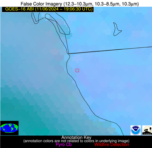
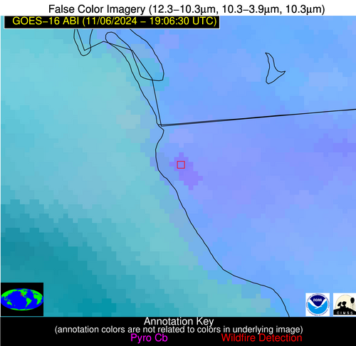
Wildfire Alert Report
| Date: | 2024-11-06 |
|---|---|
| Time: | 19:06:17 |
| Production Date and Time: | 2024-11-06 19:10:57 UTC |
| Primary Instrument: | GOES-16 ABI |
| Wmo Spacecraft Id: | 152 |
| Location/orbit: | GEO |
| L1 File: | OR_ABI-L1b-RadC-M6C14_G16_s20243111906174_e20243111908547_c20243111908594.nc |
| L1 File(s) - Temporal | OR_ABI-L1b-RadC-M6C14_G16_s20243111901174_e20243111903547_c20243111904041.nc |
| Number Of Thermal Anomaly Alerts: | 4 |
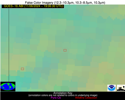
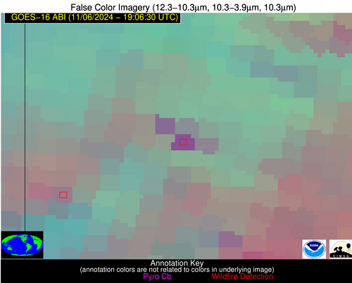
Possible Wildfire
| Basic Information | |
|---|---|
| State/Province(s) | ID |
| Country/Countries | USA |
| County/Locality(s) | Benewah County, ID |
| NWS WFO | Spokane WA |
| Identification Method | Enhanced Contextual (Cloud) |
| Mean Object Date/Time | 2024-11-06 19:06:19UTC |
| Radiative Center (Lat, Lon): | 47.160000°, -116.700000° |
| Nearby Counties (meeting alert criteria): |
|
| Total Radiative Power Anomaly | n/a |
| Total Radiative Power | 44.28 MW |
| Map: | |
| Additional Information | |
| Alert Status | New Feature |
| Type of Event | Nominal Risk |
| Event Priority Ranking | 4 |
| Maximum Observed BT (3.9 um) | 291.21 K |
| Observed - Background BT (3.9 um) | 11.19 K |
| BT Anomaly (3.9 um) | 7.22 K |
| Maximum Observed - Clear RTM BT (3.9 um) | 16.37 K |
| Maximum Observed BTD (3.9-10/11/12 um) | 20.53 K |
| Observed - Background BTD (3.9-10/11/12 um) | 11.29 K |
| BTD Anomaly (3.9-10/11/12 um) | 4.54 K |
| Similar Pixel Count | 0 |
| BT Time Tendency (3.9 um) | 7.20 K |
| Image Interval | 5.00 minutes |
| Fraction of Surrounding LWIR Pixels that are Colder | 0.47 |
| Fraction of Surrounding Red Channel Pixels that are Brighter | 0.90 |
| Maximum Radiative Power | 44.28 MW |
| Maximum Radiative Power Uncertainty | 0.00 MW |
| Total Radiative Power Uncertainty | 0.00 MW |
| Mean Viewing Angle | 67.90° |
| Mean Solar Zenith Angle | 63.50° |
| Mean Glint Angle | 115.40° |
| Water Fraction | 0.00 |
| Total Pixel Area | 17.80 km2 |
| Latest Satellite Imagery: | |
| View all event imagery » | |
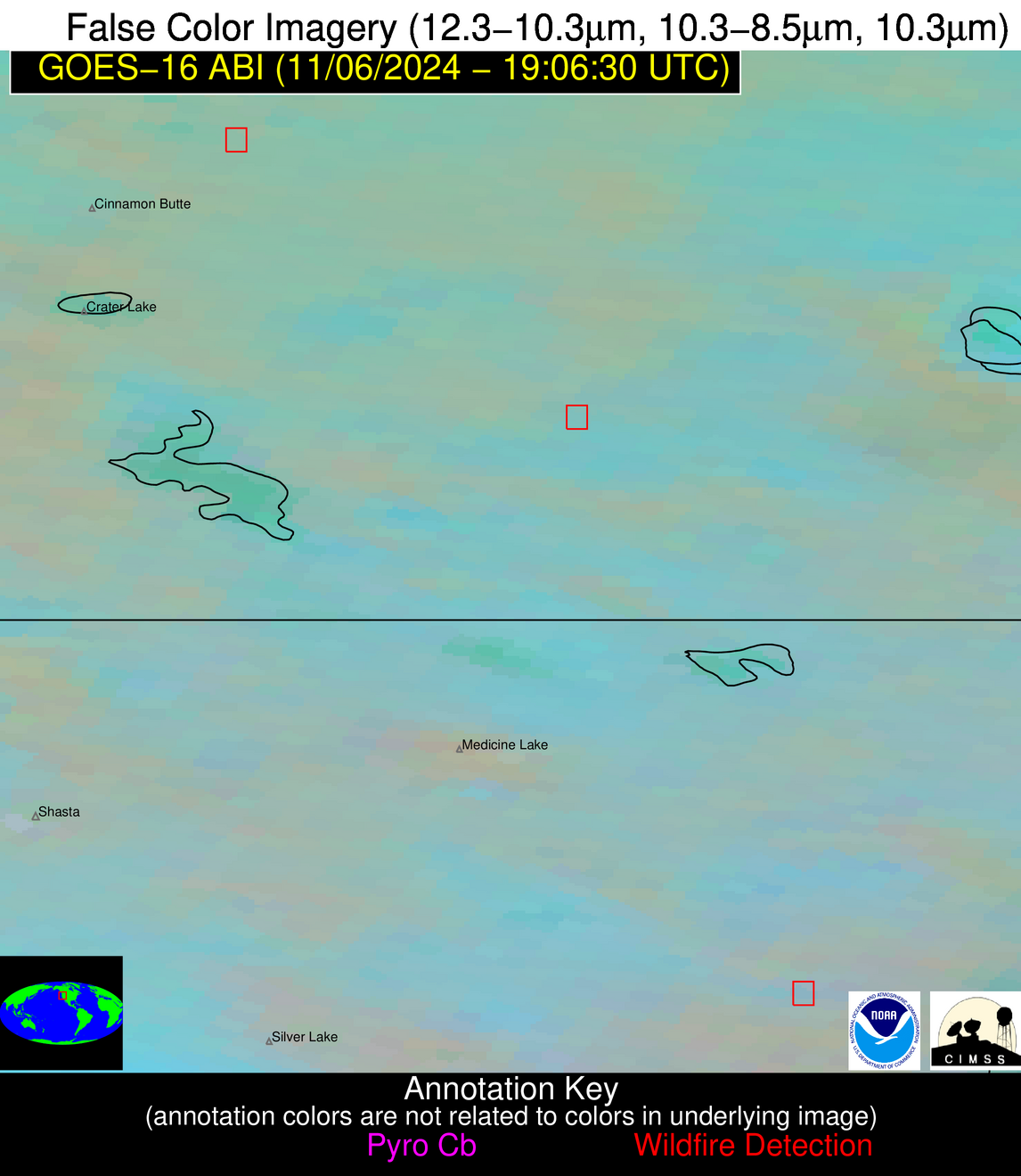
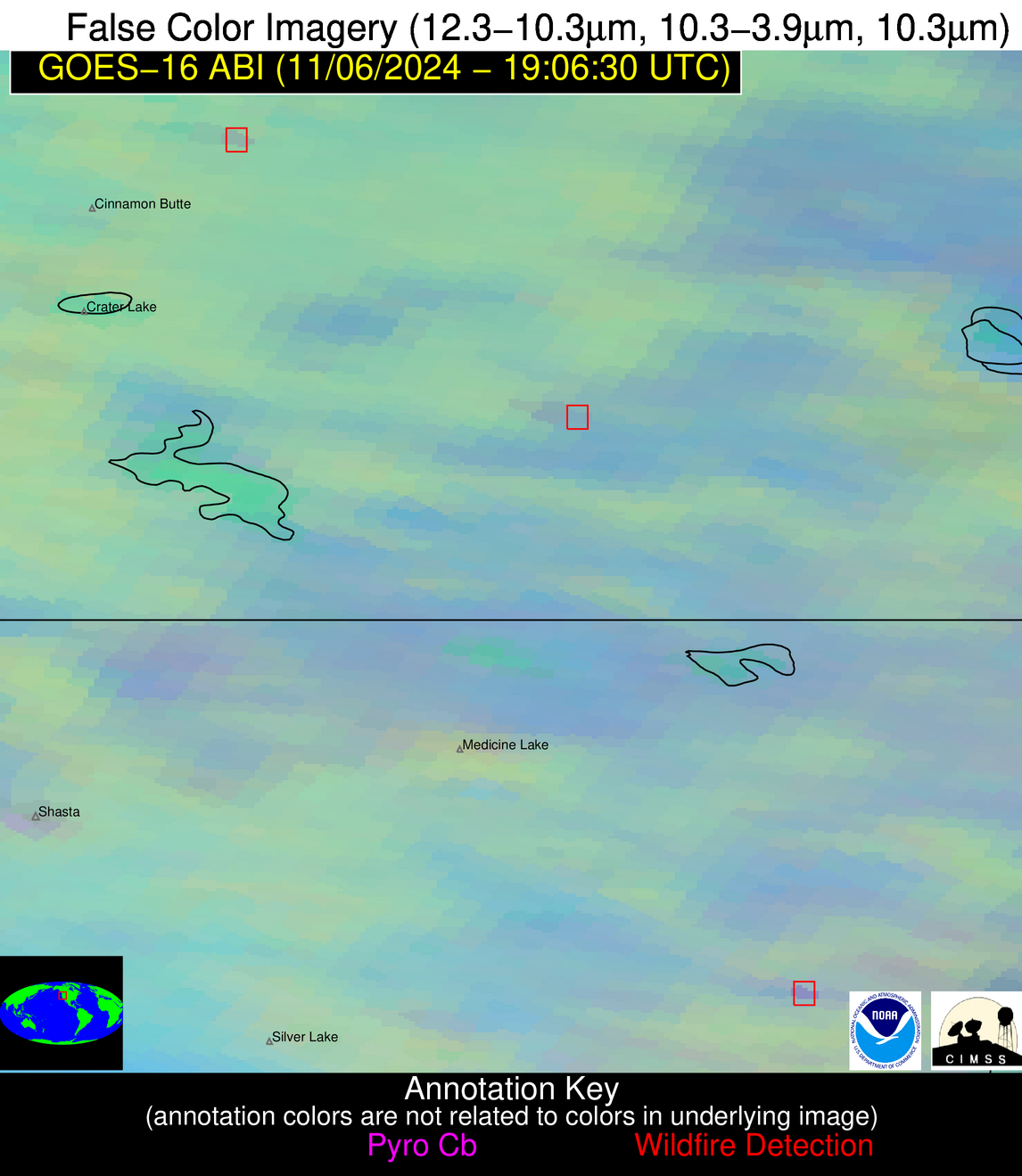
Possible Wildfire
| Basic Information | |
|---|---|
| State/Province(s) | OR |
| Country/Countries | USA |
| County/Locality(s) | Klamath County, OR |
| NWS WFO | Medford OR |
| Identification Method | Enhanced Contextual (Clear) |
| Mean Object Date/Time | 2024-11-06 19:06:48UTC |
| Radiative Center (Lat, Lon): | 43.450000°, -121.890000° |
| Nearby Counties (meeting alert criteria): |
|
| Total Radiative Power Anomaly | n/a |
| Total Radiative Power | 10.89 MW |
| Map: | |
| Additional Information | |
| Alert Status | New Feature |
| Type of Event | Nominal Risk |
| Event Priority Ranking | 4 |
| Maximum Observed BT (3.9 um) | 281.24 K |
| Observed - Background BT (3.9 um) | 3.84 K |
| BT Anomaly (3.9 um) | 3.00 K |
| Maximum Observed - Clear RTM BT (3.9 um) | 6.10 K |
| Maximum Observed BTD (3.9-10/11/12 um) | 6.91 K |
| Observed - Background BTD (3.9-10/11/12 um) | 3.77 K |
| BTD Anomaly (3.9-10/11/12 um) | 7.25 K |
| Similar Pixel Count | 3 |
| BT Time Tendency (3.9 um) | 0.90 K |
| Image Interval | 5.00 minutes |
| Fraction of Surrounding LWIR Pixels that are Colder | 0.56 |
| Fraction of Surrounding Red Channel Pixels that are Brighter | 1.00 |
| Maximum Radiative Power | 10.89 MW |
| Maximum Radiative Power Uncertainty | 0.00 MW |
| Total Radiative Power Uncertainty | 0.00 MW |
| Mean Viewing Angle | 68.70° |
| Mean Solar Zenith Angle | 60.40° |
| Mean Glint Angle | 113.40° |
| Water Fraction | 0.00 |
| Total Pixel Area | 19.80 km2 |
| Latest Satellite Imagery: | |
| View all event imagery » | |
Possible Wildfire
| Basic Information | |
|---|---|
| State/Province(s) | CA |
| Country/Countries | USA |
| County/Locality(s) | Lassen County, CA |
| NWS WFO | Reno NV |
| Identification Method | Enhanced Contextual (Clear) |
| Mean Object Date/Time | 2024-11-06 19:06:48UTC |
| Radiative Center (Lat, Lon): | 40.880000°, -121.040000° |
| Nearby Counties (meeting alert criteria): |
|
| Total Radiative Power Anomaly | n/a |
| Total Radiative Power | 21.95 MW |
| Map: | |
| Additional Information | |
| Alert Status | New Feature |
| Type of Event | Nominal Risk |
| Event Priority Ranking | 4 |
| Maximum Observed BT (3.9 um) | 291.50 K |
| Observed - Background BT (3.9 um) | 6.02 K |
| BT Anomaly (3.9 um) | 2.89 K |
| Maximum Observed - Clear RTM BT (3.9 um) | 13.00 K |
| Maximum Observed BTD (3.9-10/11/12 um) | 11.92 K |
| Observed - Background BTD (3.9-10/11/12 um) | 6.09 K |
| BTD Anomaly (3.9-10/11/12 um) | 6.99 K |
| Similar Pixel Count | 1 |
| BT Time Tendency (3.9 um) | 5.10 K |
| Image Interval | 5.00 minutes |
| Fraction of Surrounding LWIR Pixels that are Colder | 0.77 |
| Fraction of Surrounding Red Channel Pixels that are Brighter | 0.60 |
| Maximum Radiative Power | 21.95 MW |
| Maximum Radiative Power Uncertainty | 0.00 MW |
| Total Radiative Power Uncertainty | 0.00 MW |
| Mean Viewing Angle | 66.60° |
| Mean Solar Zenith Angle | 57.80° |
| Mean Glint Angle | 109.30° |
| Water Fraction | 0.00 |
| Total Pixel Area | 17.10 km2 |
| Latest Satellite Imagery: | |
| View all event imagery » | |
Possible Wildfire
| Basic Information | |
|---|---|
| State/Province(s) | Baja California |
| Country/Countries | Mexico |
| County/Locality(s) | Tijuana, Baja California |
| NWS WFO | N/A |
| Identification Method | Enhanced Contextual (Clear) |
| Mean Object Date/Time | 2024-11-06 19:07:18UTC |
| Radiative Center (Lat, Lon): | 32.460000°, -117.080000° |
| Nearby Counties (meeting alert criteria): |
|
| Total Radiative Power Anomaly | n/a |
| Total Radiative Power | 34.93 MW |
| Map: | |
| Additional Information | |
| Alert Status | New Feature |
| Type of Event | Nominal Risk |
| Event Priority Ranking | 4 |
| Maximum Observed BT (3.9 um) | 307.31 K |
| Observed - Background BT (3.9 um) | 5.07 K |
| BT Anomaly (3.9 um) | 2.46 K |
| Maximum Observed - Clear RTM BT (3.9 um) | 18.04 K |
| Maximum Observed BTD (3.9-10/11/12 um) | 13.91 K |
| Observed - Background BTD (3.9-10/11/12 um) | 4.91 K |
| BTD Anomaly (3.9-10/11/12 um) | 4.51 K |
| Similar Pixel Count | 14 |
| BT Time Tendency (3.9 um) | 4.30 K |
| Image Interval | 5.00 minutes |
| Fraction of Surrounding LWIR Pixels that are Colder | 0.81 |
| Fraction of Surrounding Red Channel Pixels that are Brighter | 0.51 |
| Maximum Radiative Power | 18.01 MW |
| Maximum Radiative Power Uncertainty | 0.00 MW |
| Total Radiative Power Uncertainty | 0.00 MW |
| Mean Viewing Angle | 58.80° |
| Mean Solar Zenith Angle | 48.90° |
| Mean Glint Angle | 93.80° |
| Water Fraction | 0.00 |
| Total Pixel Area | 21.70 km2 |
| Latest Satellite Imagery: | |
| View all event imagery » | |
